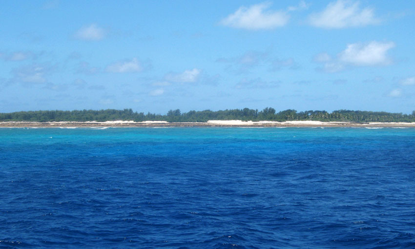
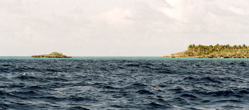
Astove Island is part of the Aldabra Group of the Seychelles. It is 38 km SSE of Cosmoledo Atoll, located at 10°06′S 47°45′E. It is a raised coral island of most peculiar form: a single stretch of land, more than 1 km (nearly one mile) at the widest, almost entirely encloses a shallow lagoon. This has a maximum depth of 3 metres (10 ft), and the only exit is a winding passage in the southwest, called Gueule Bras Channel.
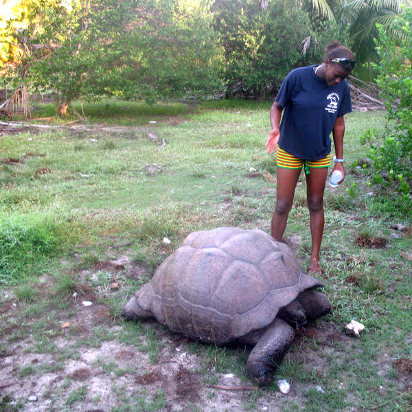
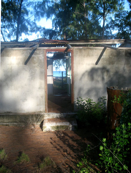
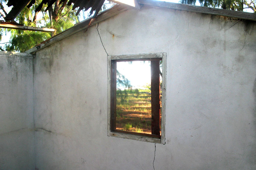
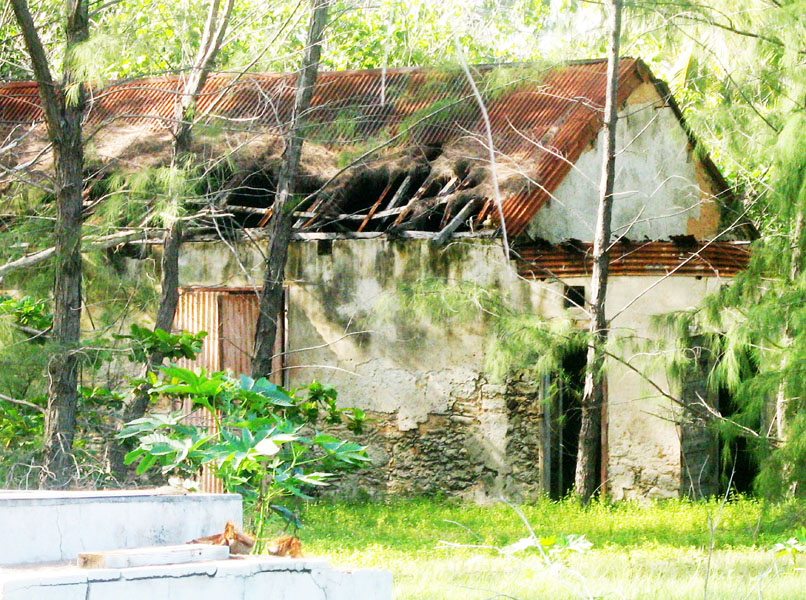
Astove Island measures nearly 6 km (3.7 miles) north to south and about 4 km (2.5 mi) at most east to west. The land area is 4.96 km², and the total area including the lagoon 9.5 km². The only settlement, on the western coast, has been abandoned since the 1980s. There is a grass airstrip on the north east point of the island, and remnants of a former coconut and sisal plantation. Today, the island is rarely visited – usually by scientists researching the lagoon’s ecology – but the near-vertical drop-off from its outer reef edge is a popular location for diving cruises.
Source: Wikipedia (under GNU Free Documentation License)