Categories
Caroline Islands

Kosrae

Kosrae (/koʊˈʃaɪ/ koh-SHY), formerly known as Kusaie or Strong’s Island, is an island in the Caroline Islands archipelago, and state within the Federated States of Micronesia. It includes the main island of Kosrae, traditionally known as Ualung (which means the “high island”), and a few intercoastal islands and islets, the most significant of which (Lelu Island) is inhabited by 1,500 people.

Source: Wikipedia (under GNU Free Documentation License)

Categories
Caroline Islands

Pohnpei

Pohnpei State (/ˈpɔːnpeɪ/) is one of the four states of the Federated States of Micronesia (FSM). Its capital is Kolonia. With an area of 346 miles (557 kilometres), it is the largest state.

The pre-colonial history of Pohnpei is divided into three stages: Mwehin Kawa or Mwehin Aramas (c. 1100); Mwehin Sau Deleur (from c. 1100 to c. 1628); and Mwehin Nahnmwarki (from c. 1628 to c. 1885).

In Pohnpei there are historic ruins of a Micronesian civilization, especially the ruins of Nan Madol.

Source: Wikipedia (under GNU Free Documentation License)

Categories
Caroline Islands

Chuuk

Chuuk State (/ˈtʃuːk/; also known as Truk) is one of the four states of the Federated States of Micronesia (FSM). It consists of several island groups: Nomoneas, Faichuuk, the Hall Islands, Namonuito Atoll (Magur Islands), Pattiw (Western Islands), and the Mortlock Islands. Chuuk is by far the FSM’s most populous state, with 50,000 inhabitants on 120 square kilometers (46 square miles). Chuuk Lagoon is where most people live. Weno island, in the lagoon, is Chuuk’s state capital and the country’s biggest city. It may hold a referendum on independence in the near future, although this referendum has been repeatedly postponed.

Source: Wikipedia (under GNU Free Documentation License)

Categories
Caroline Islands

Yap

Yap (Yapese: Waqab, sometimes written as Wa’ab, Waab or Waqaab) traditionally refers to an island group located in the Caroline Islands of the western Pacific Ocean, a part of Yap State. (…) Excluding the reef area, the Yap Main Islands are approximately 24 km long, 5–10 km wide, and 98 km2. The highest elevation is 178 m (584 ft) at Mount Taabiywol in Fanif municipality on Yap Proper.

Source: Wikipedia (under GNU Free Documentation License)

Categories
Caroline Islands

Rock Islands

The Rock Islands of Palau, also called Chelbacheb, are a collection of several hundred small limestone or coral uprises in the Southern Lagoon of Palau between Koror and Peleliu, now an incorporated part of Koror State. There are between 250 and 300 islands in the group according to different sources, with an aggregate area of 42 square kilometers (16 sq mi) and a maximum height of 207 meters (679 ft).[1] The islands were declared a UNESCO World Heritage Site in 2012.

Source: Wikipedia (under GNU Free Documentation License)

Categories
Papua New Guinea

Lissenug Island

Lissenug Island is an island of Papua New Guinea, located south of New Hanover Island and west of the northern part of New Ireland. It is located on the south of Globig Island. It is a small, sandy island surrounded by a coral reef.

Categories
Papua New Guinea

New Britain

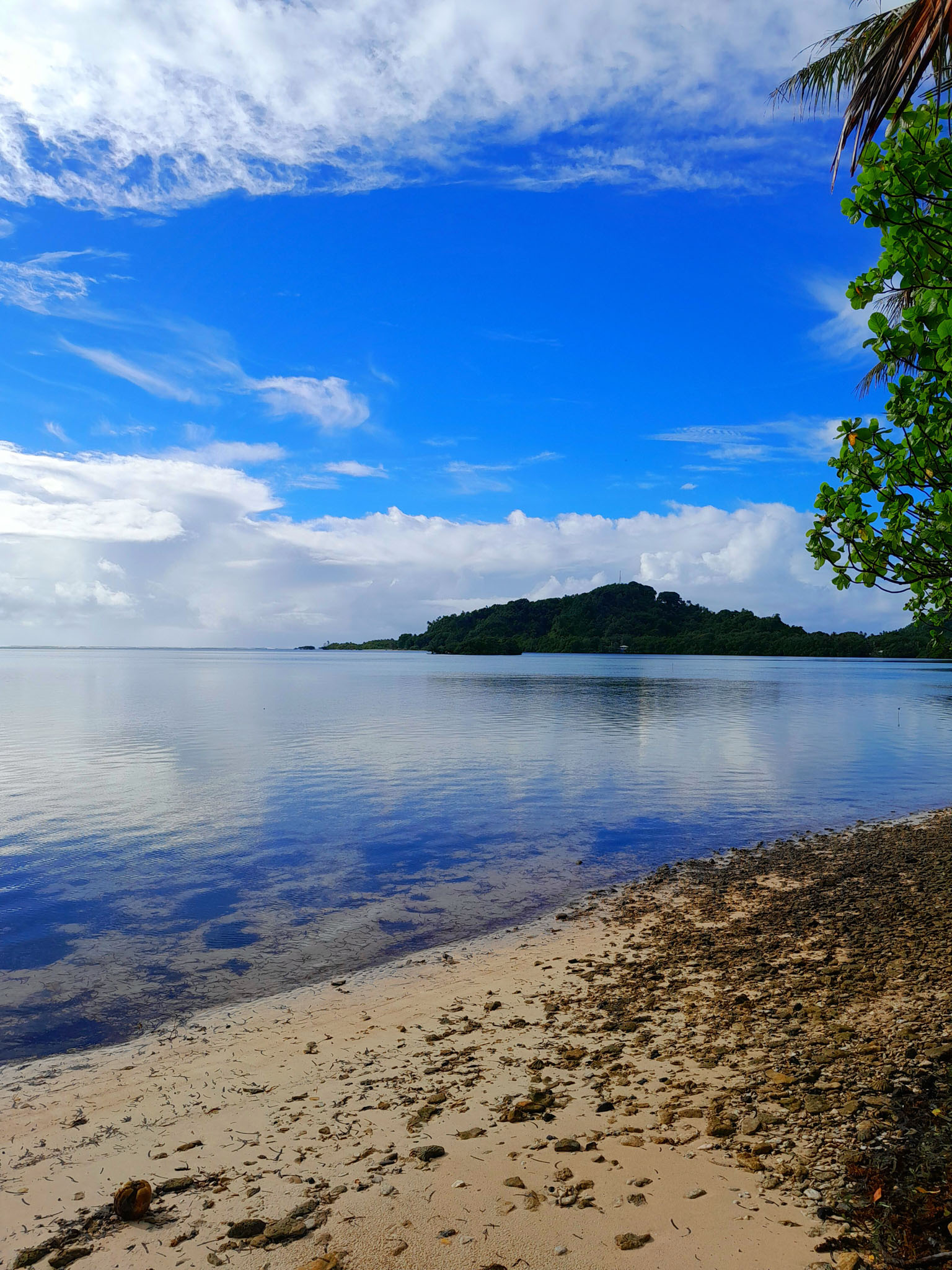
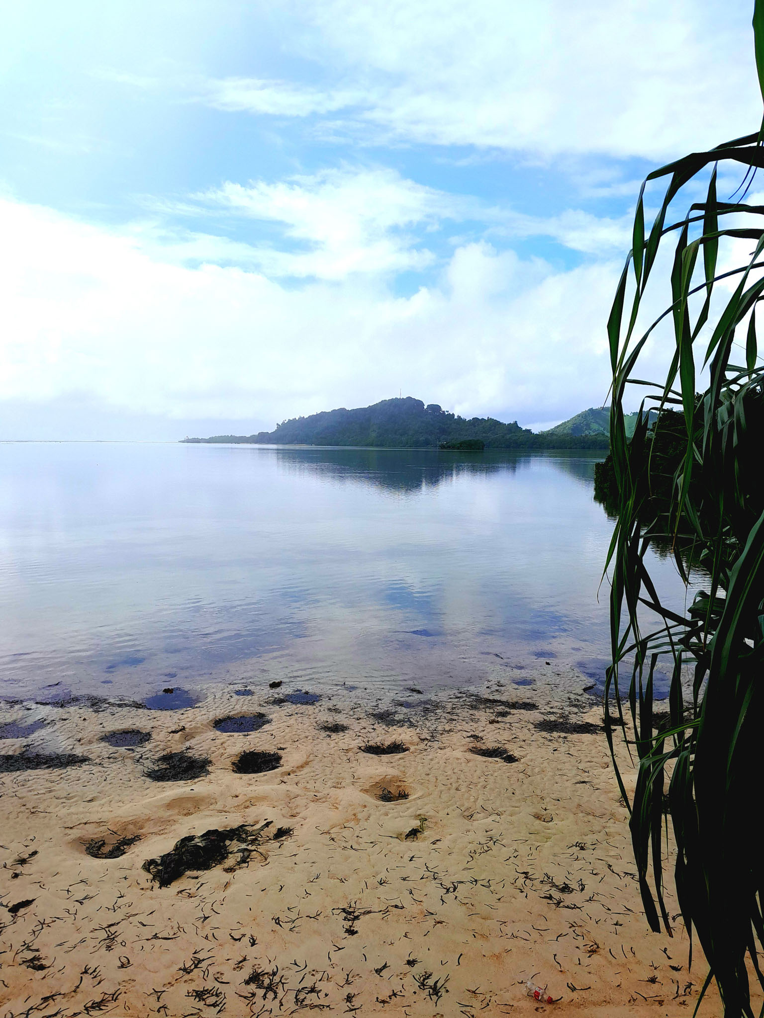
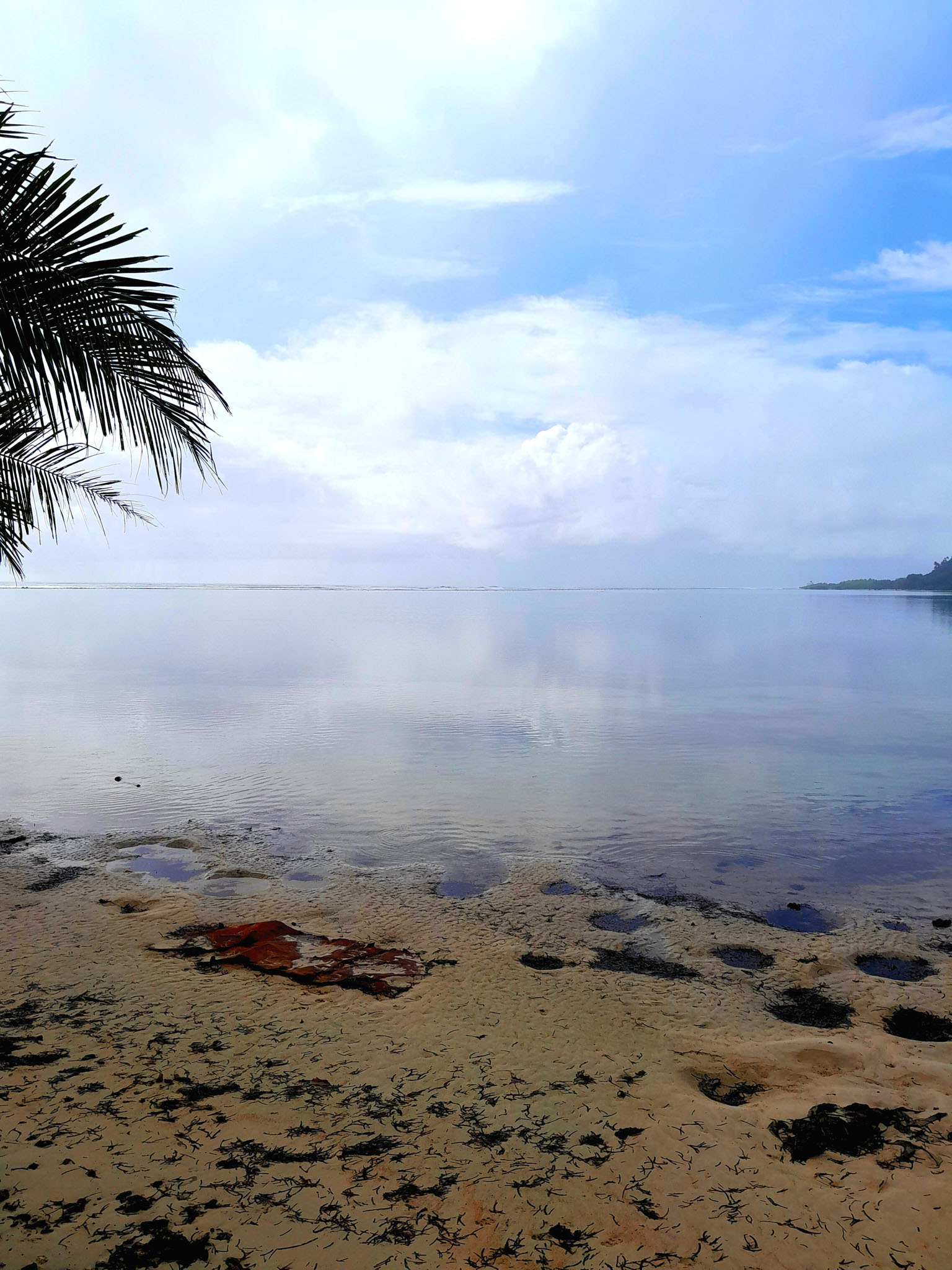
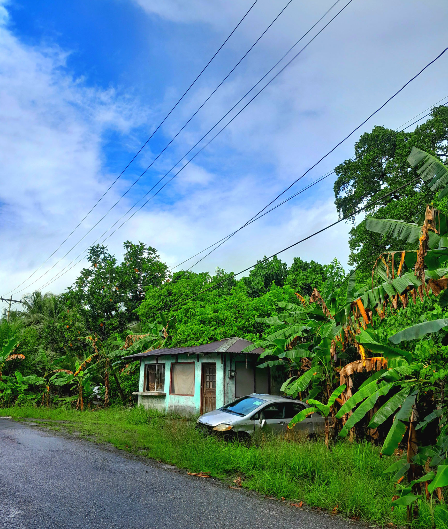
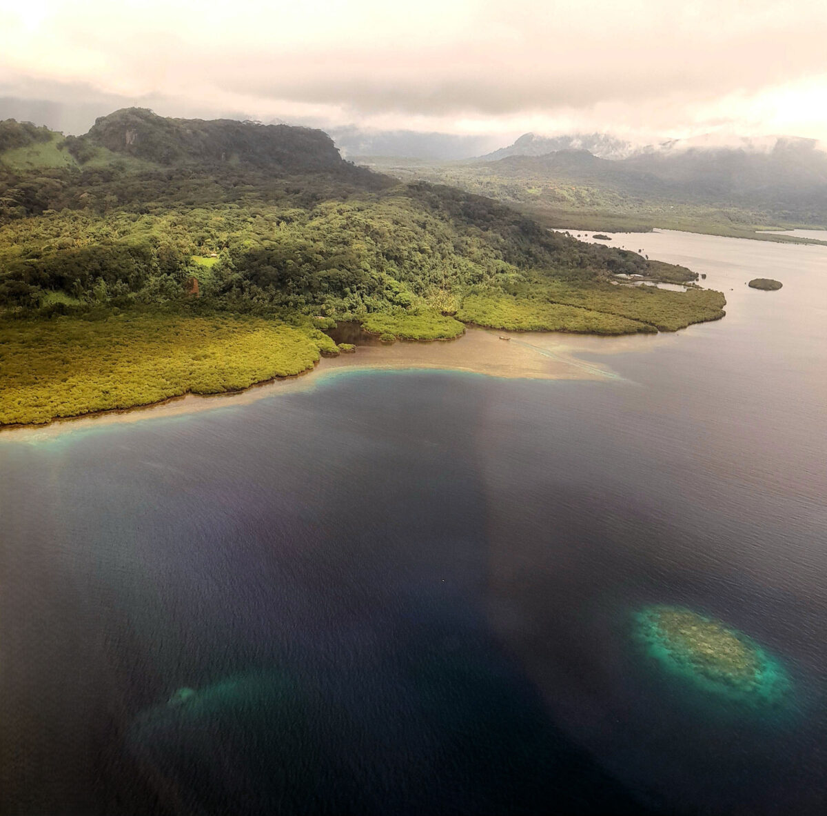
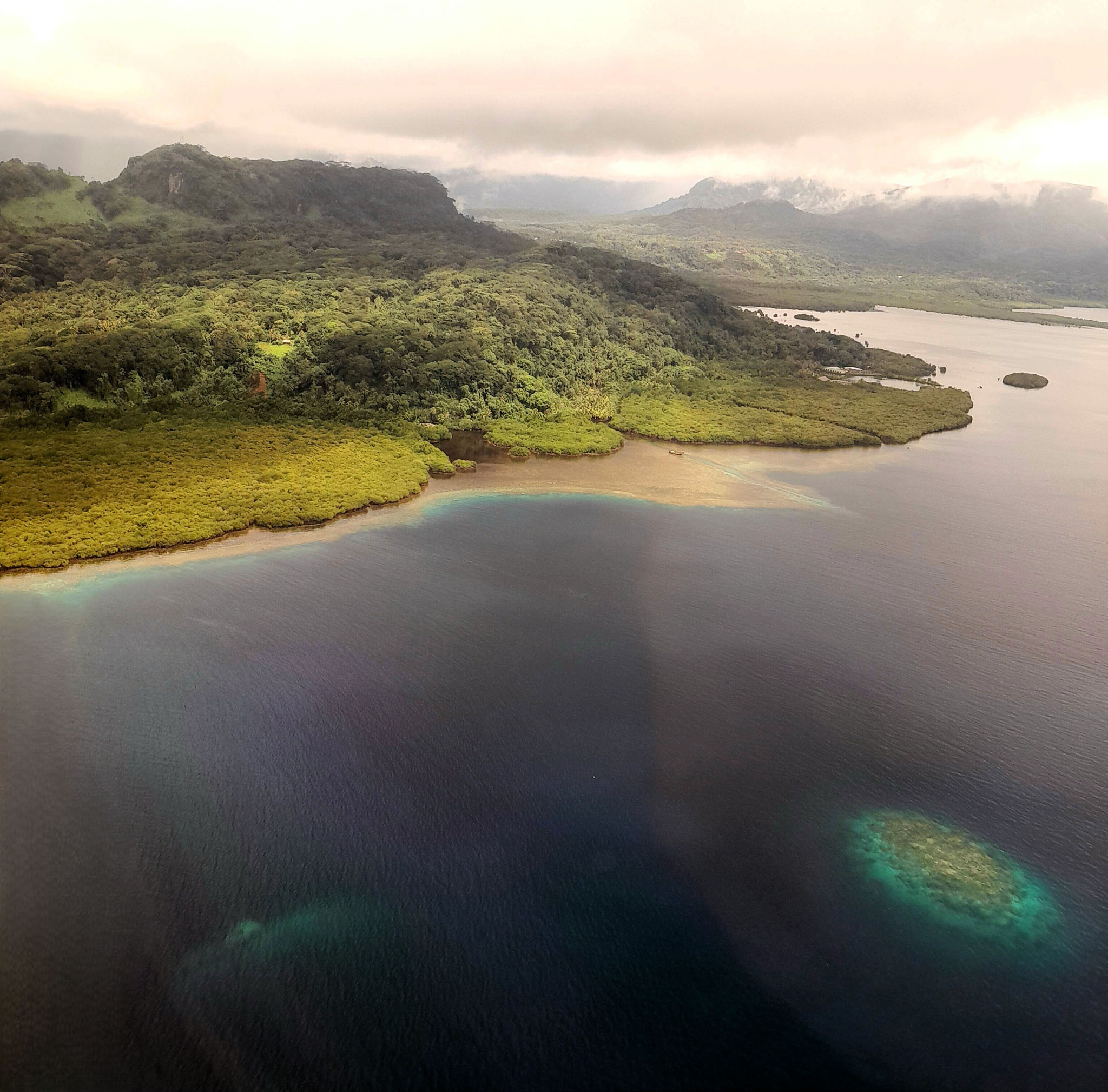
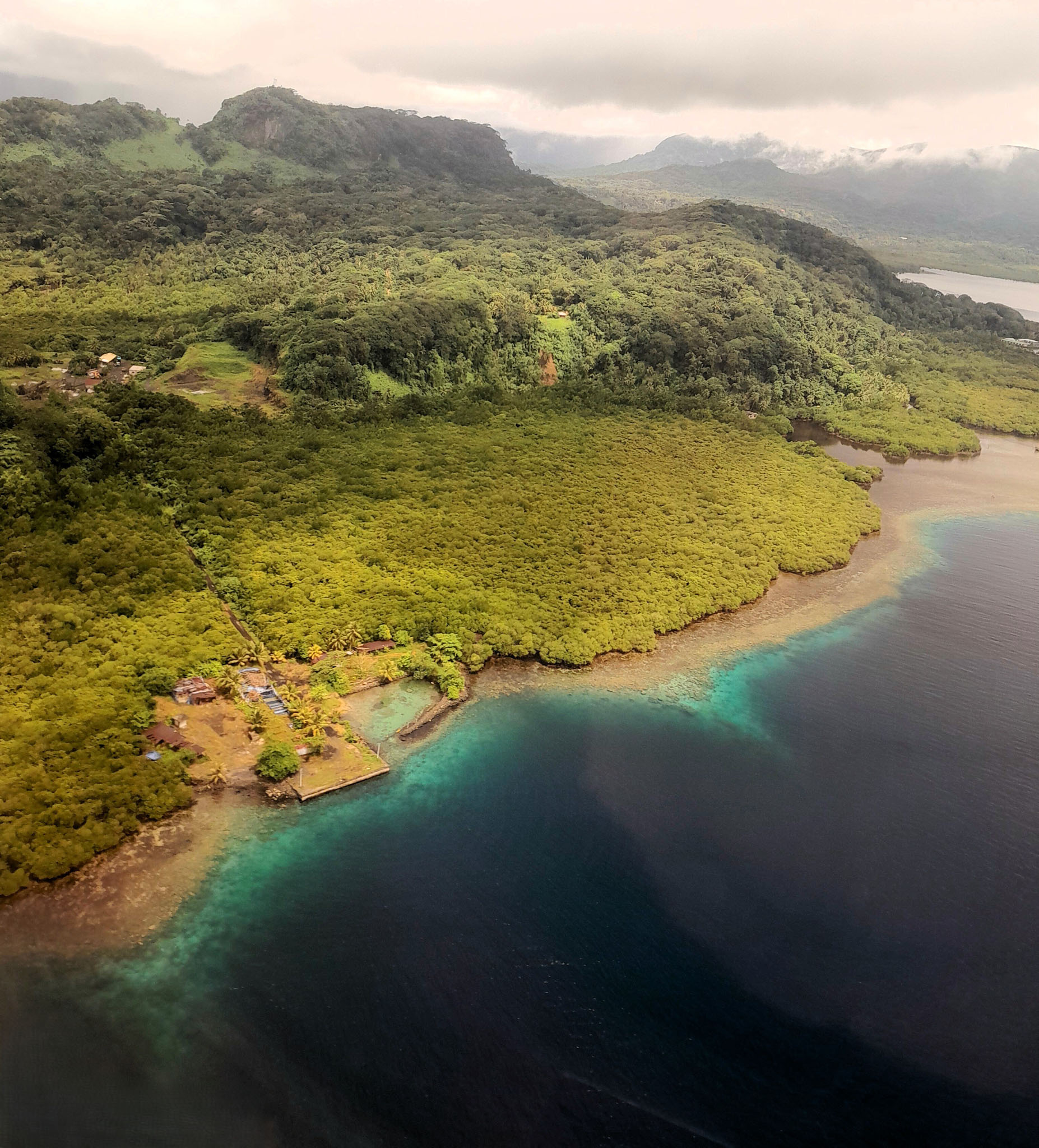
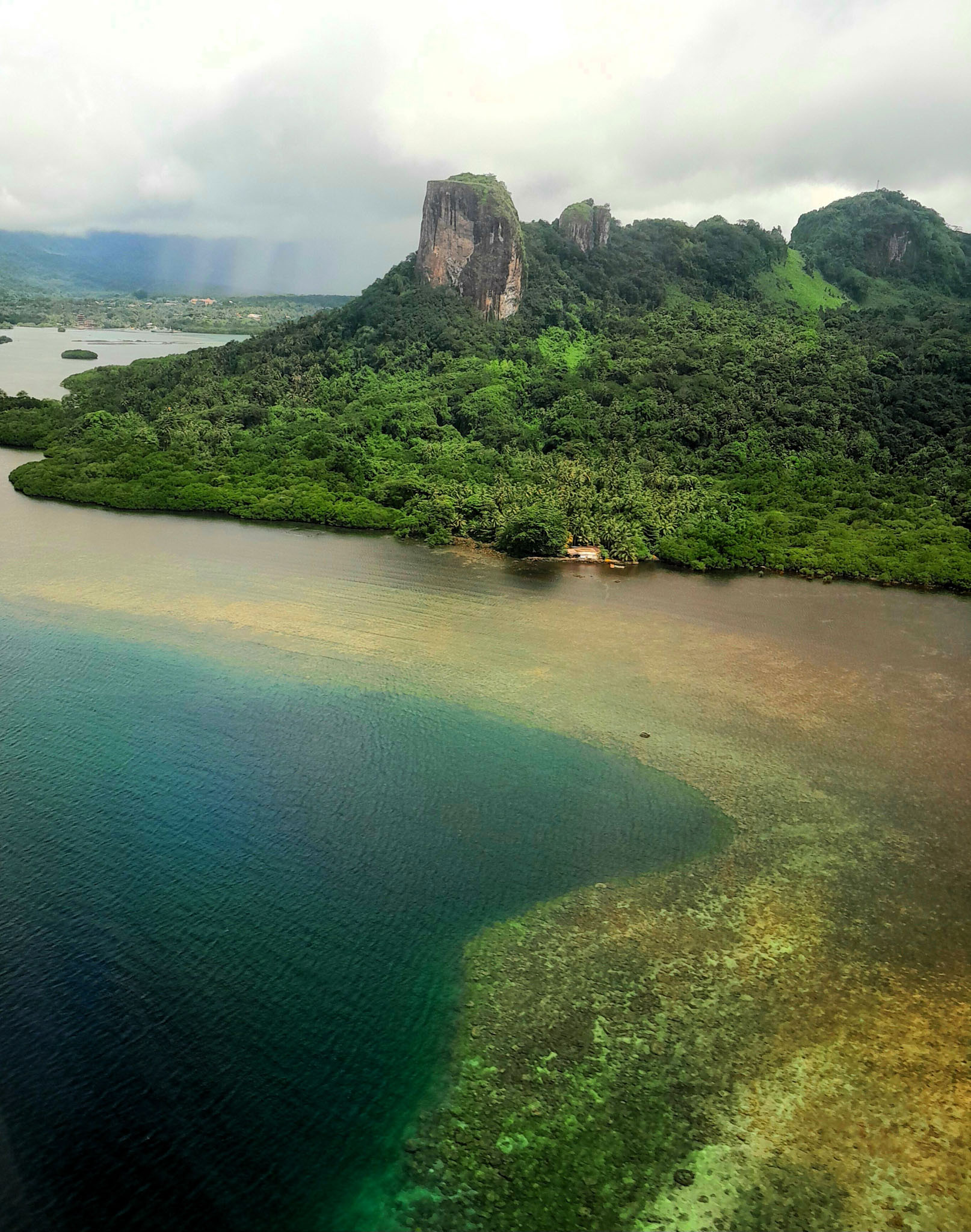
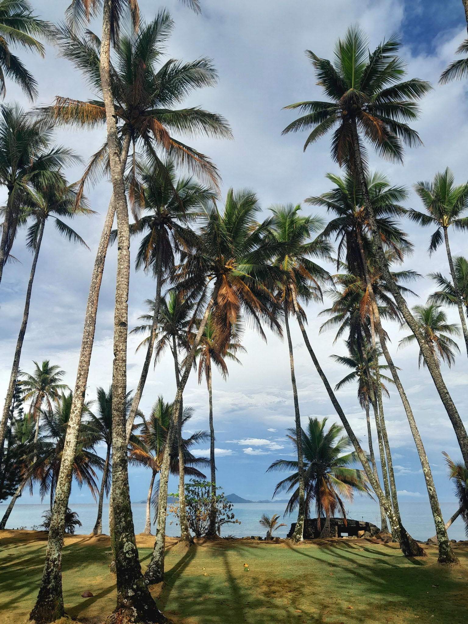
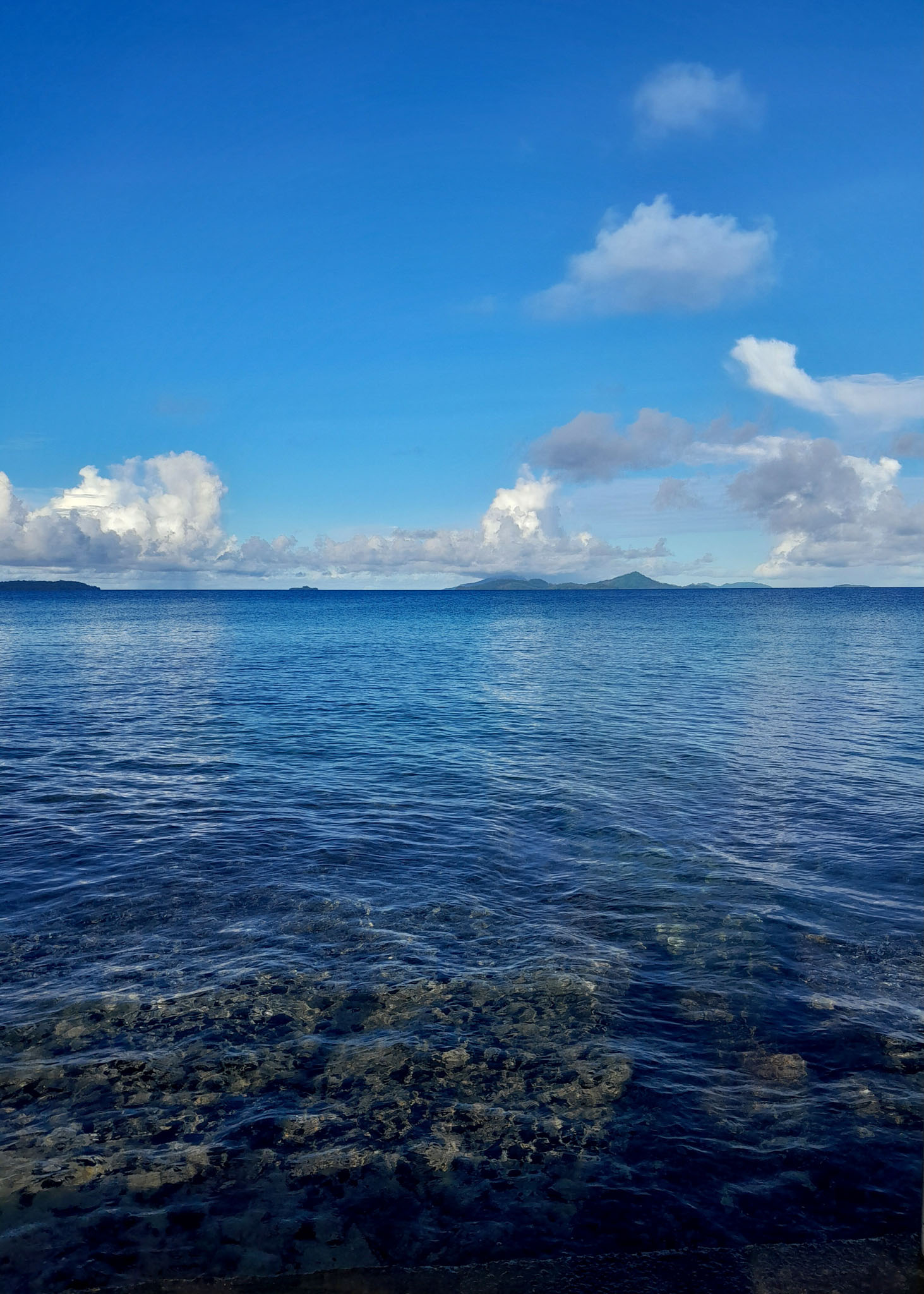
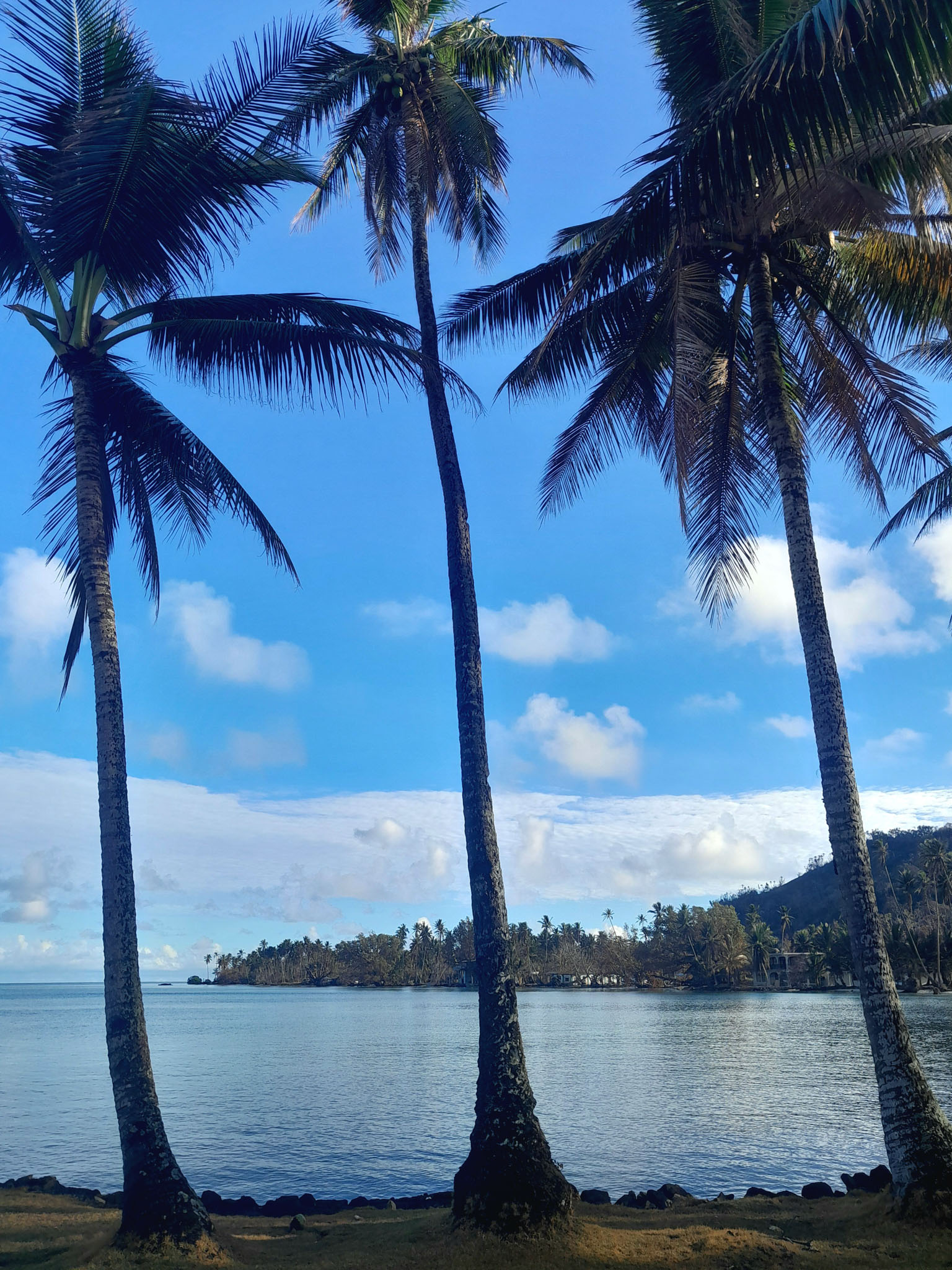
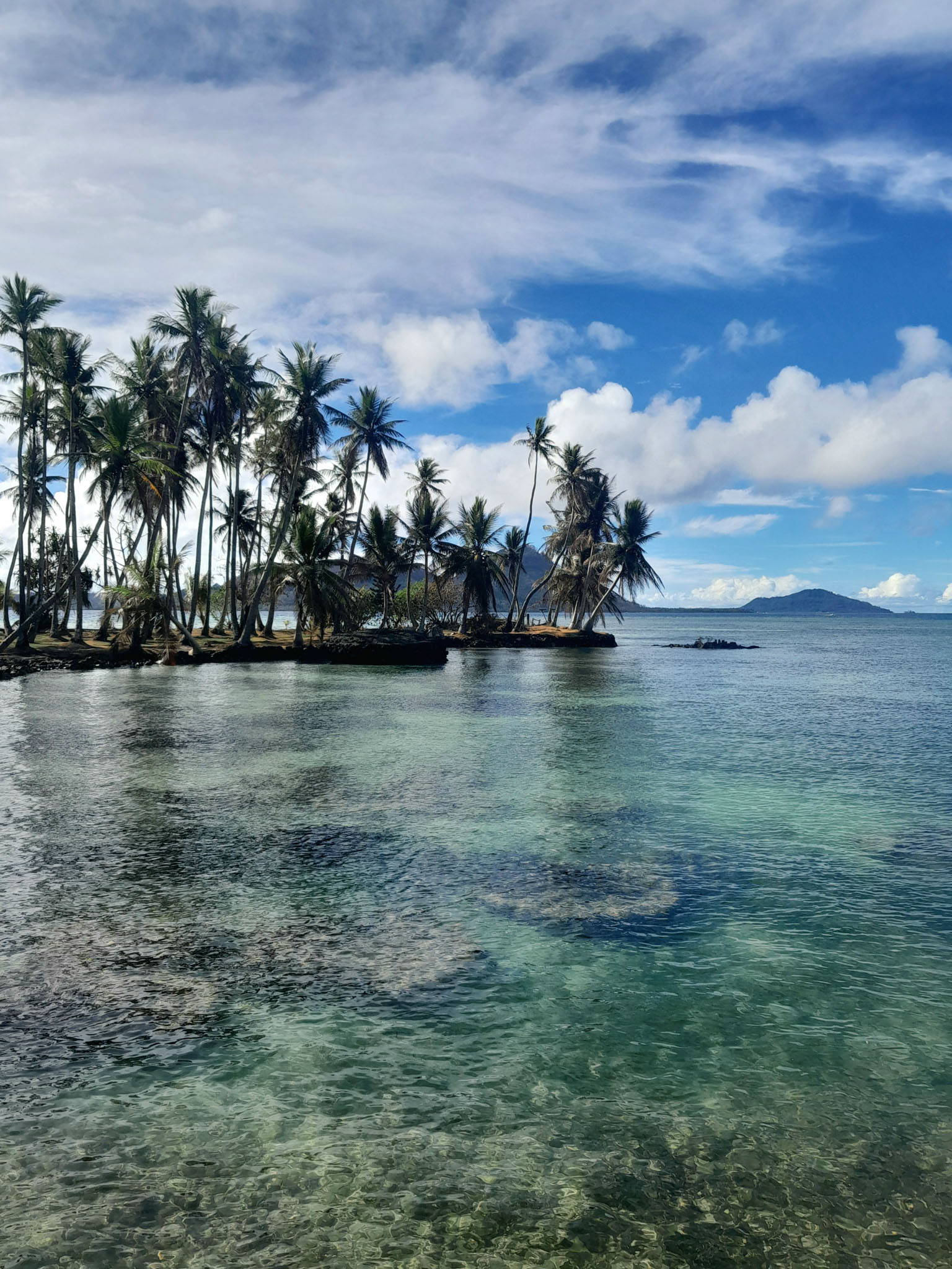
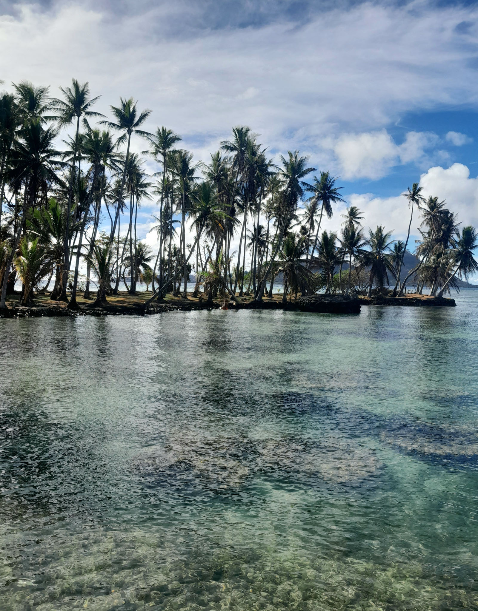
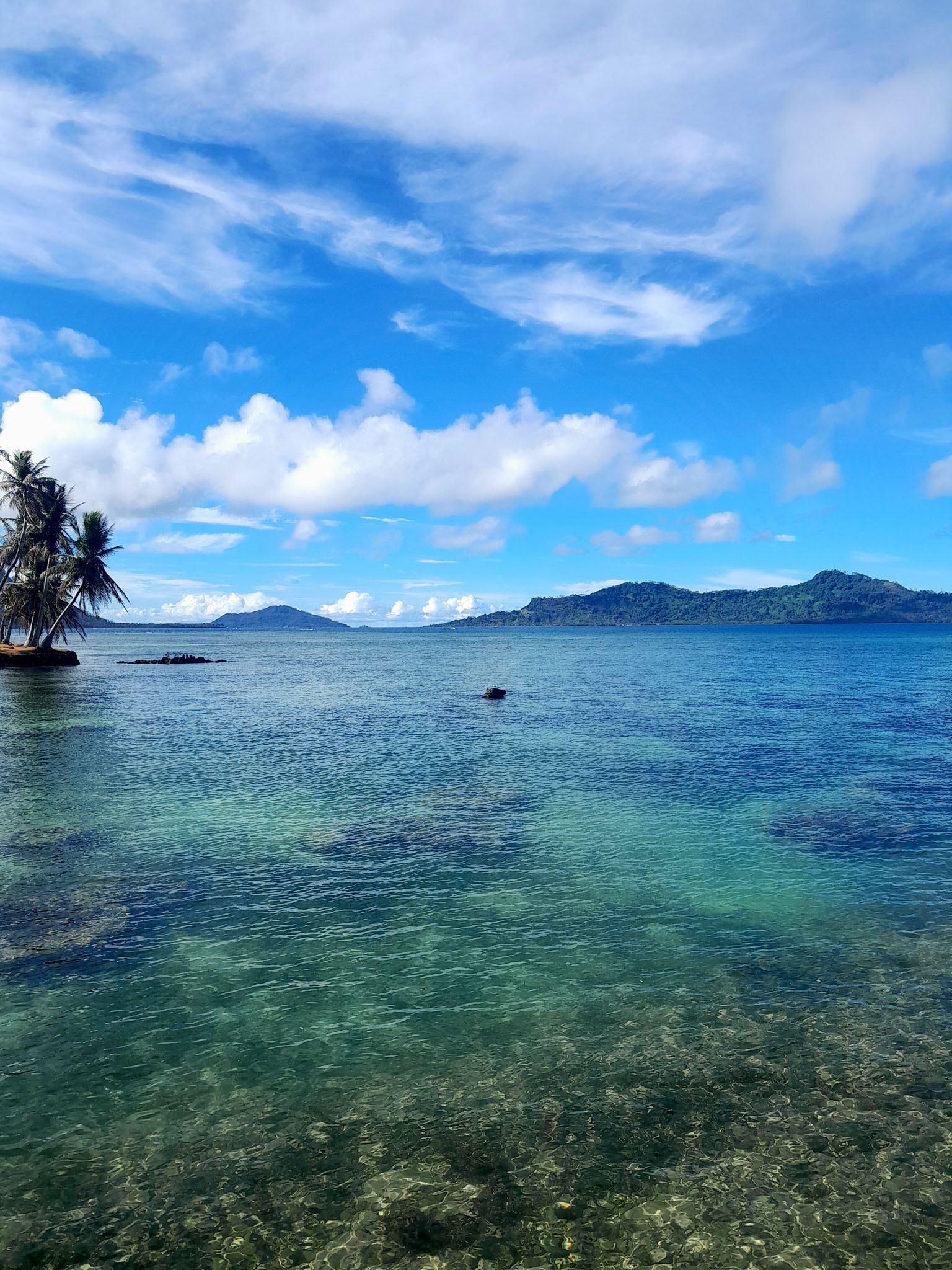
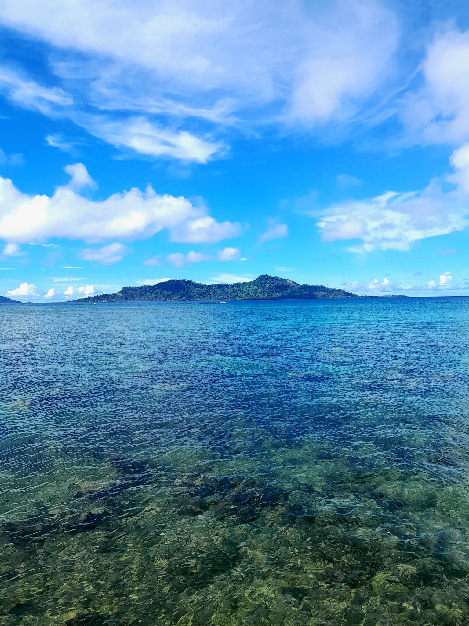
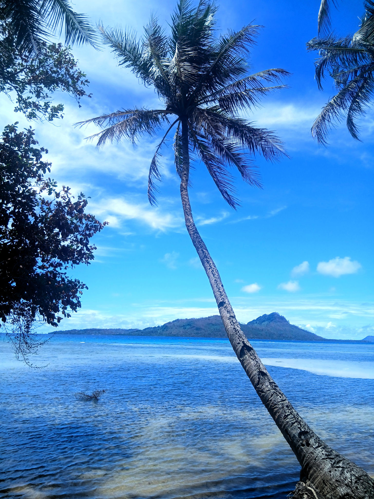
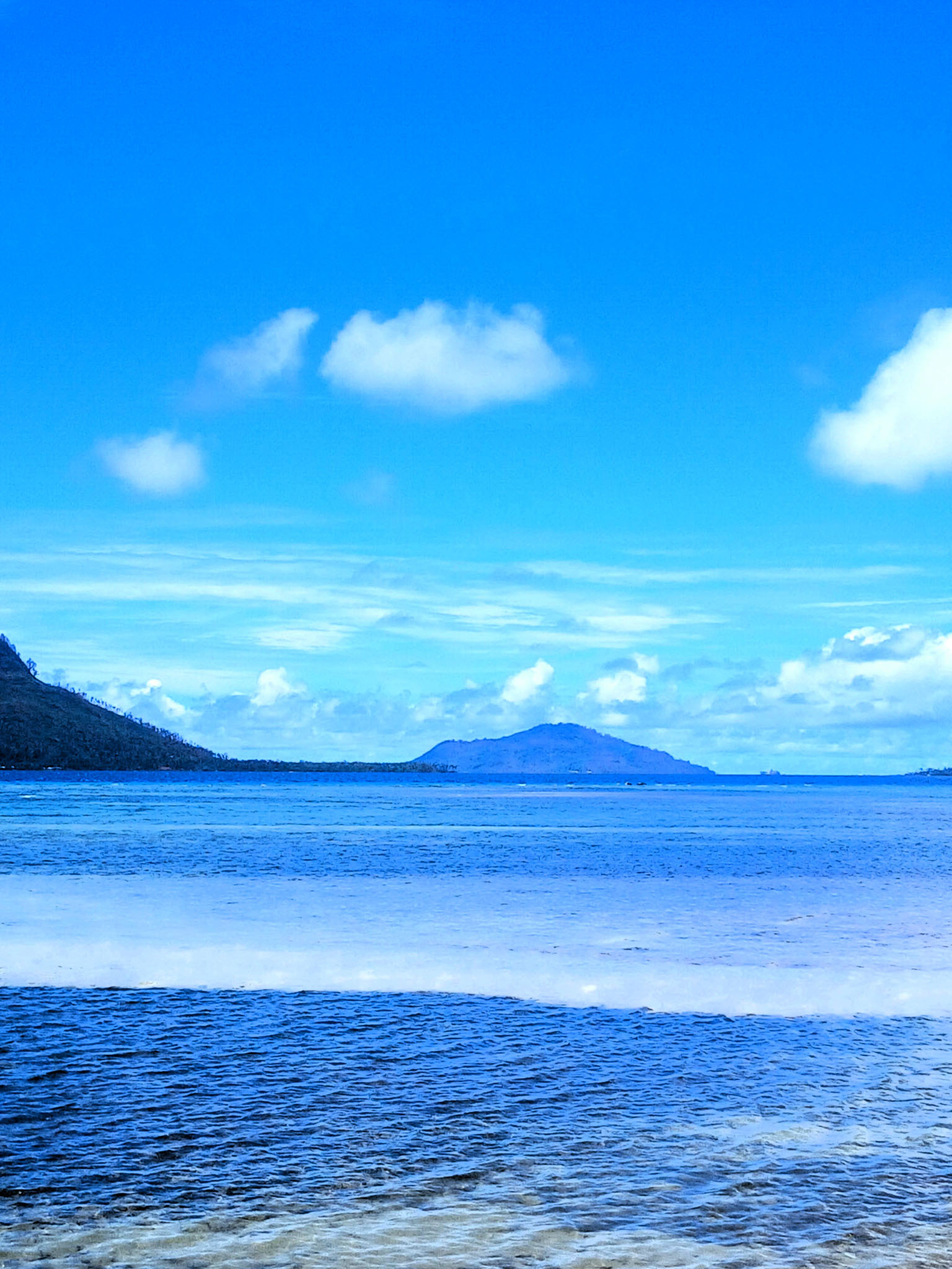
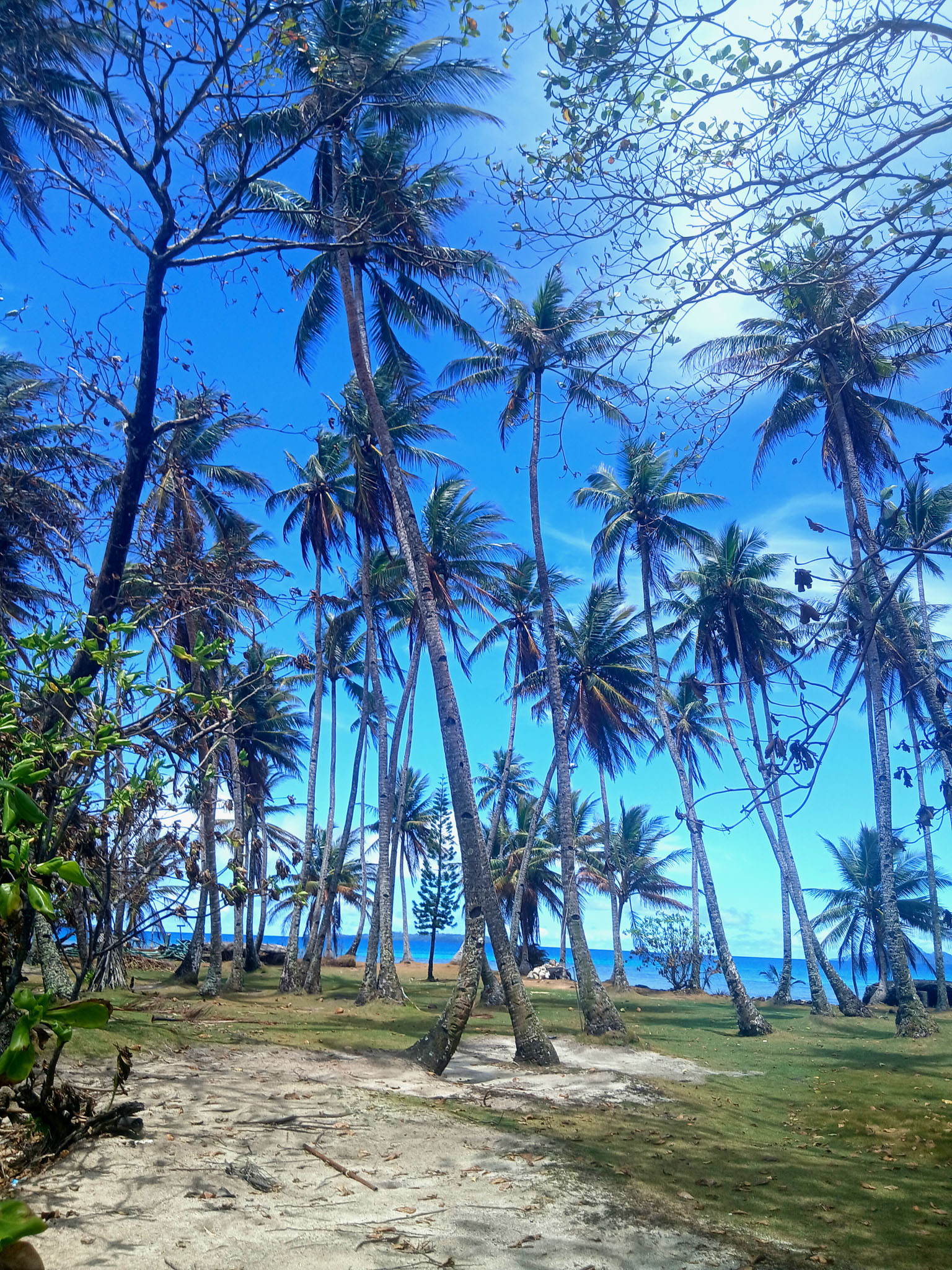
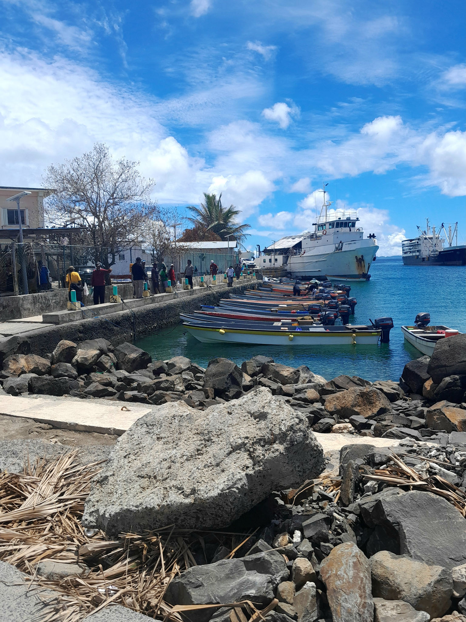
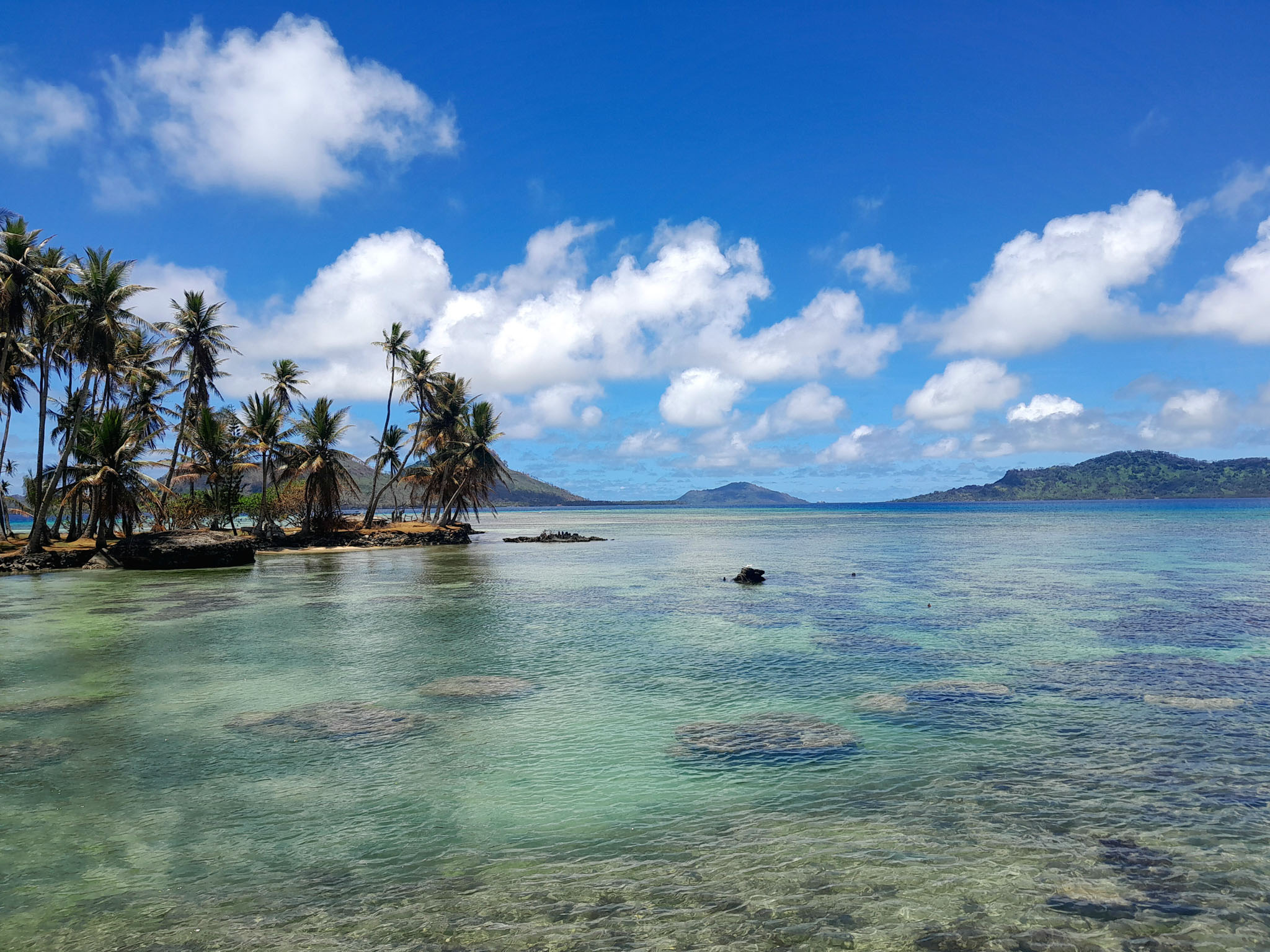
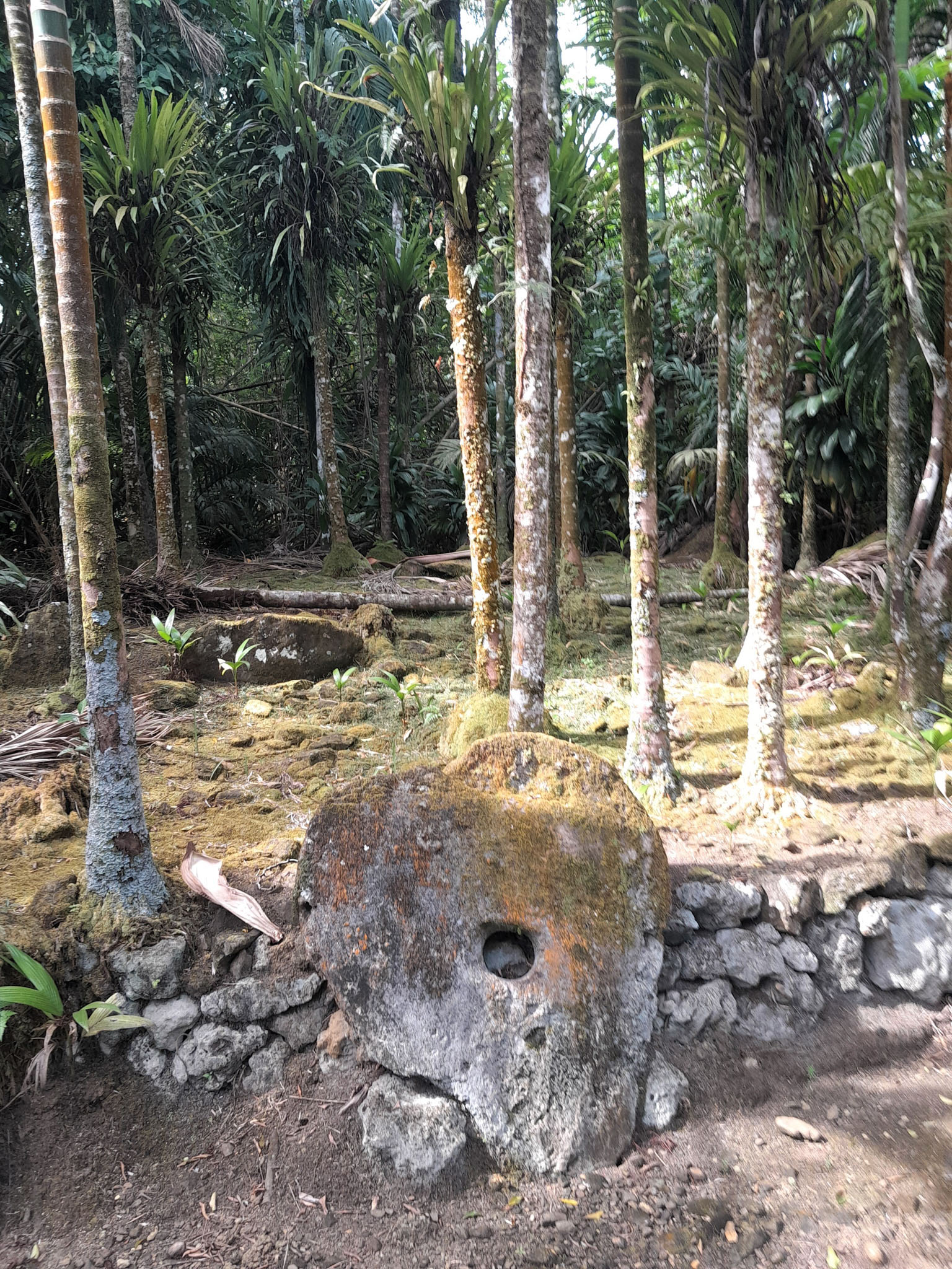
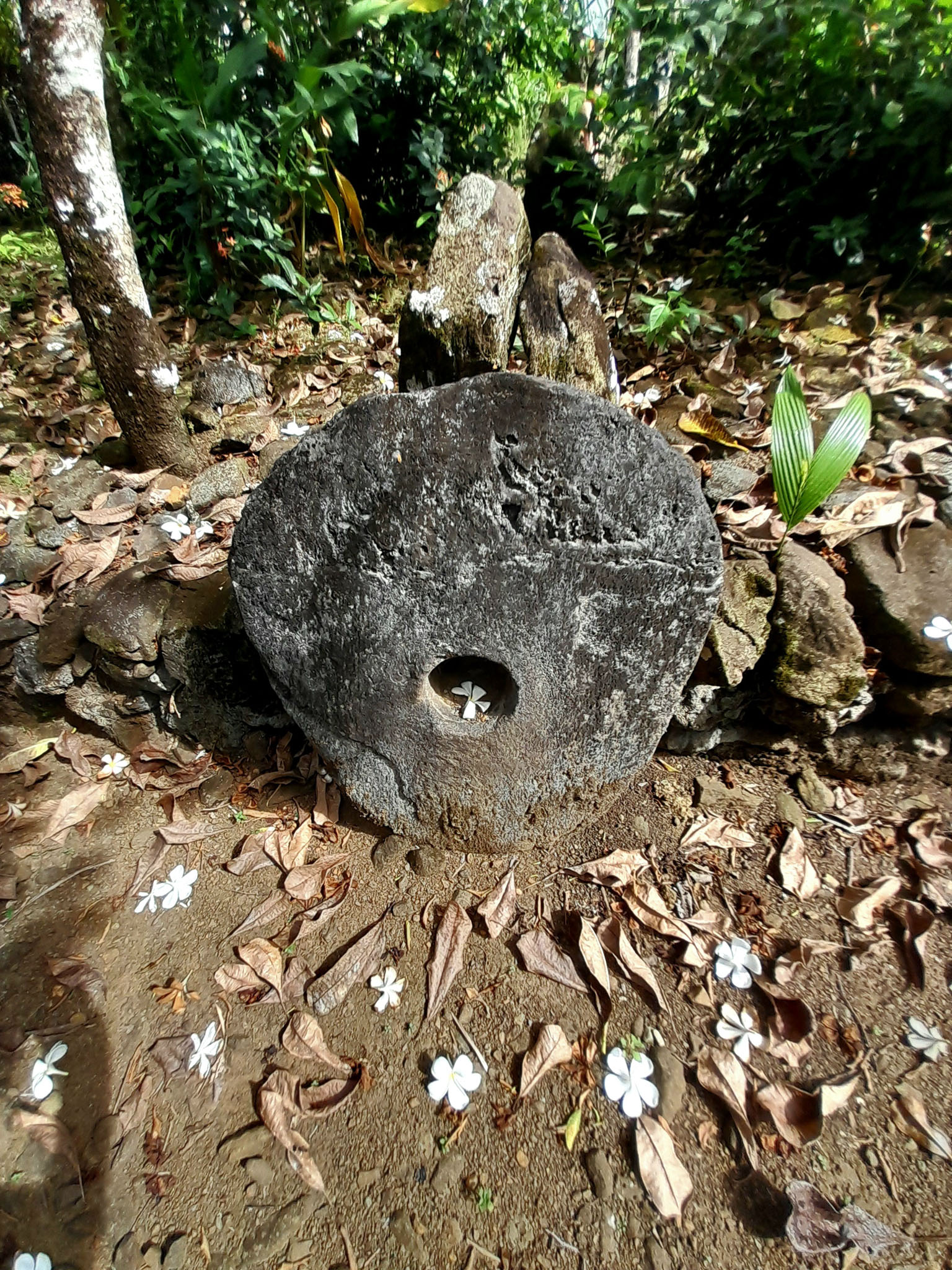
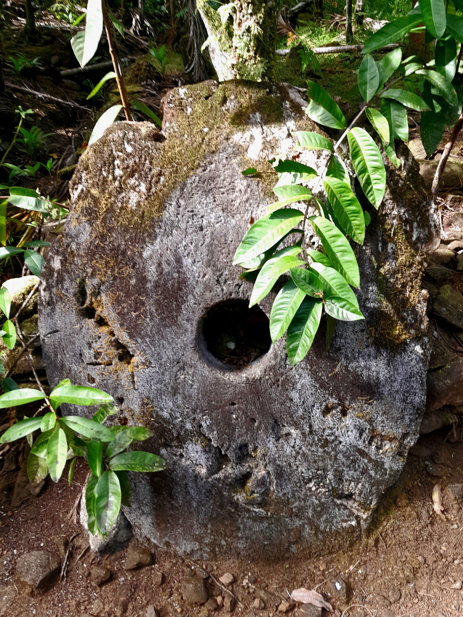
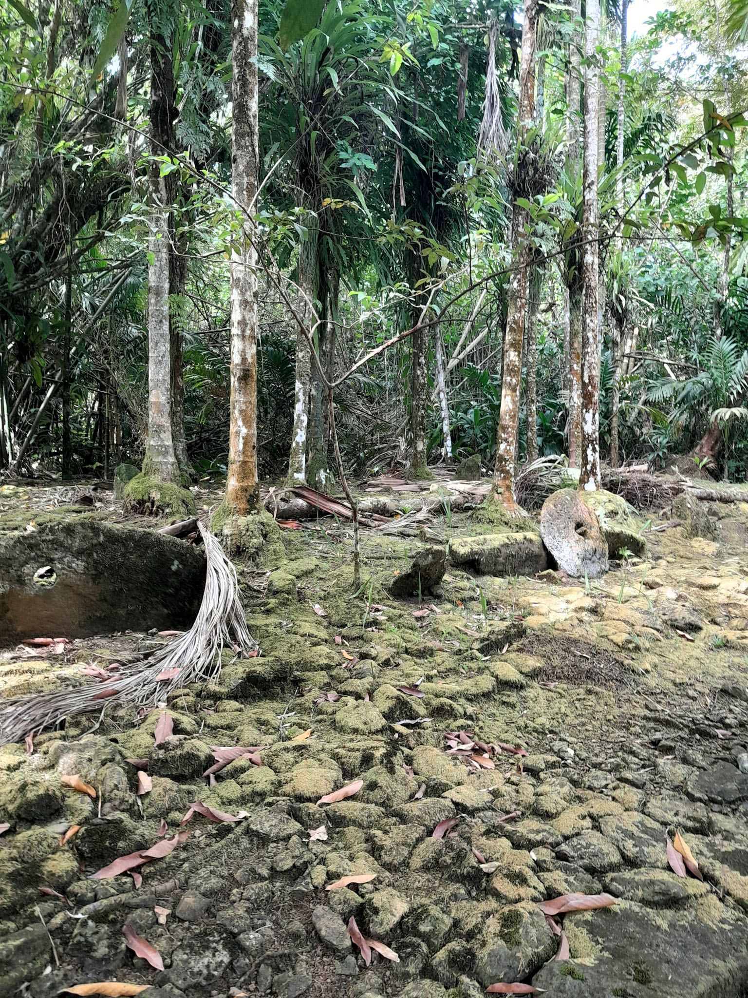
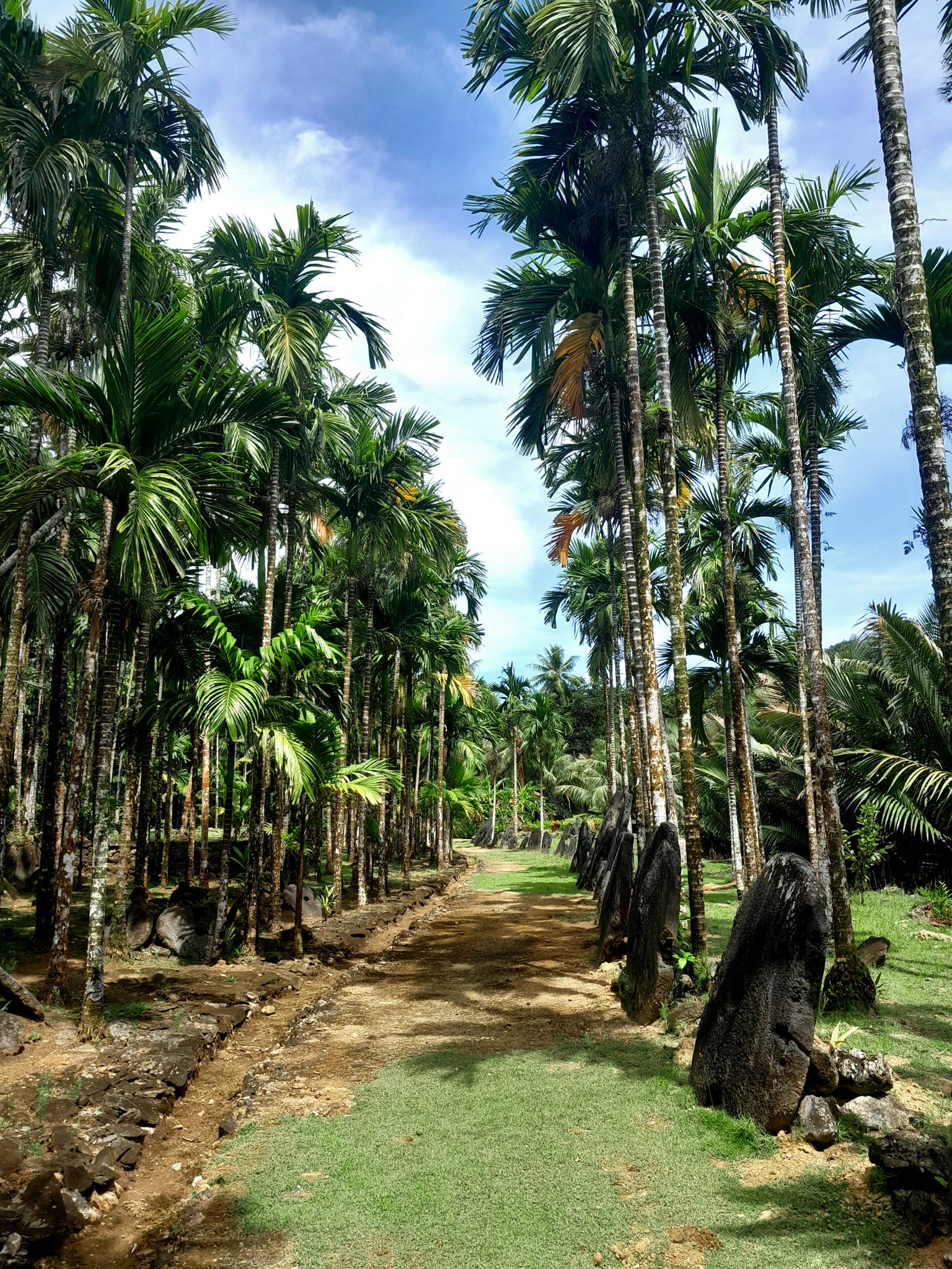
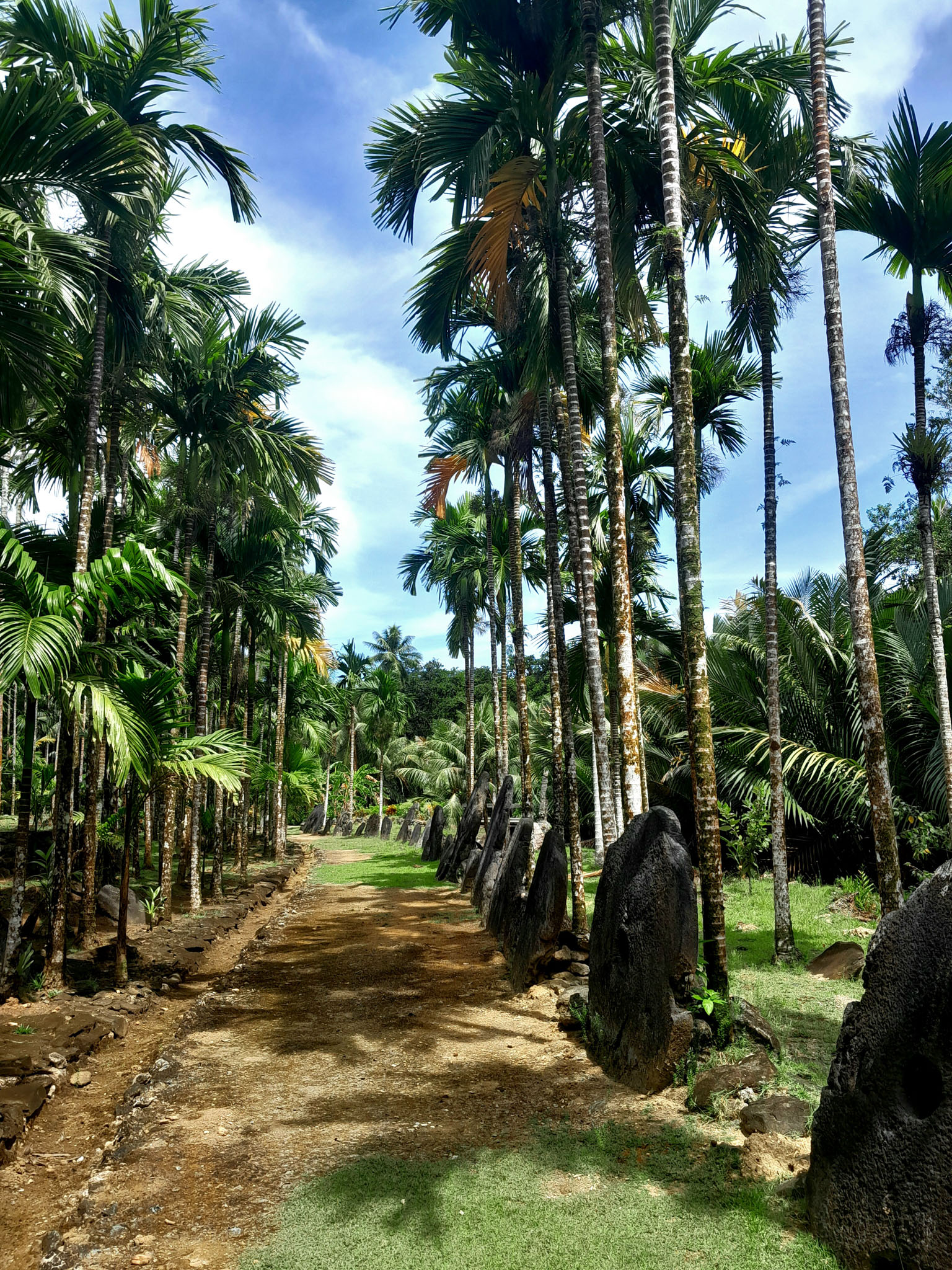
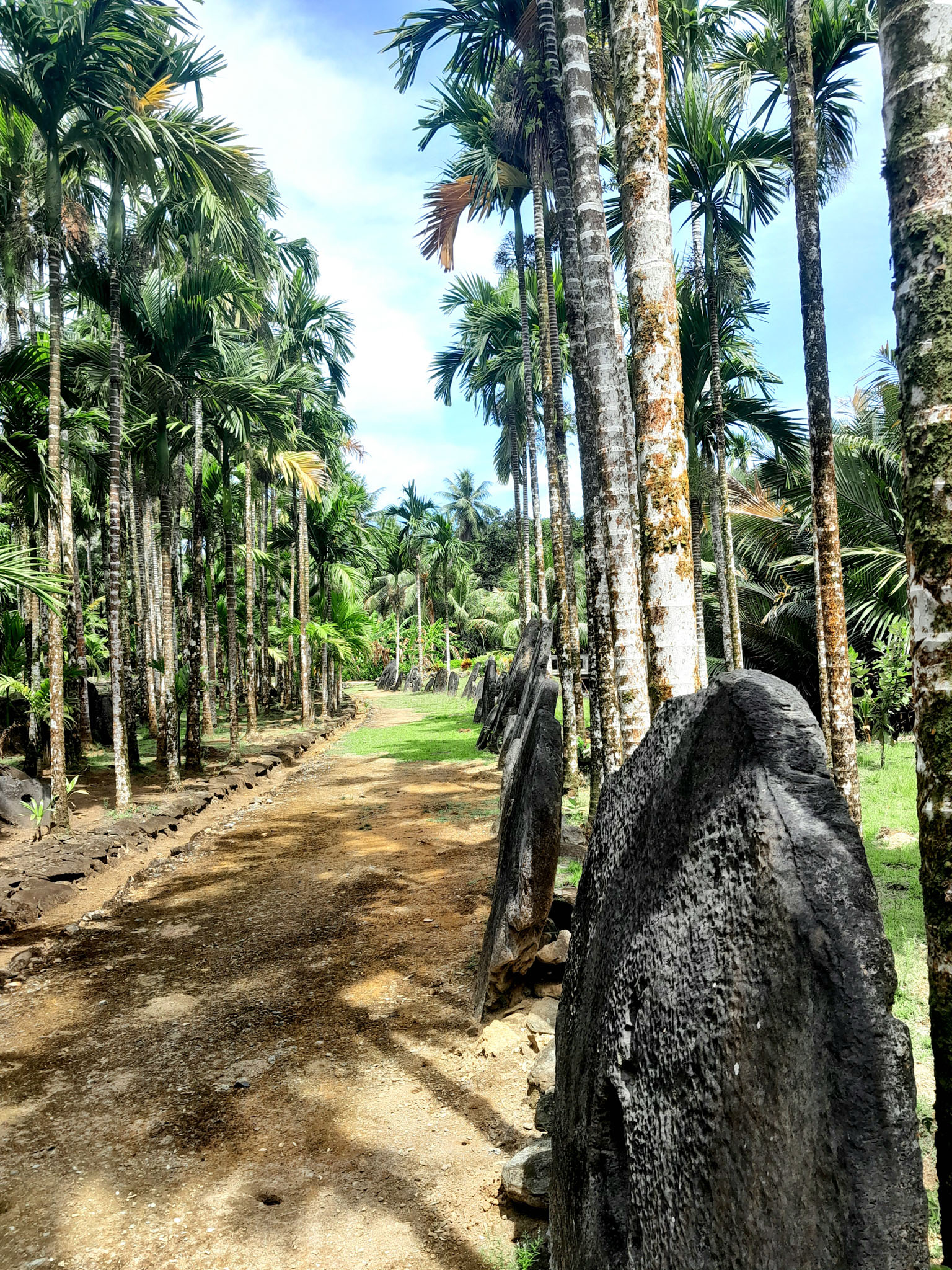
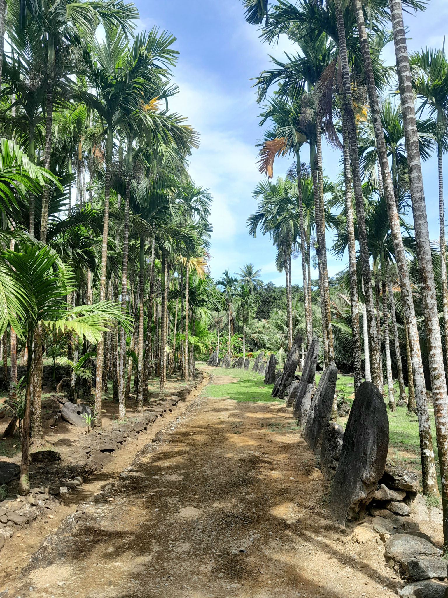
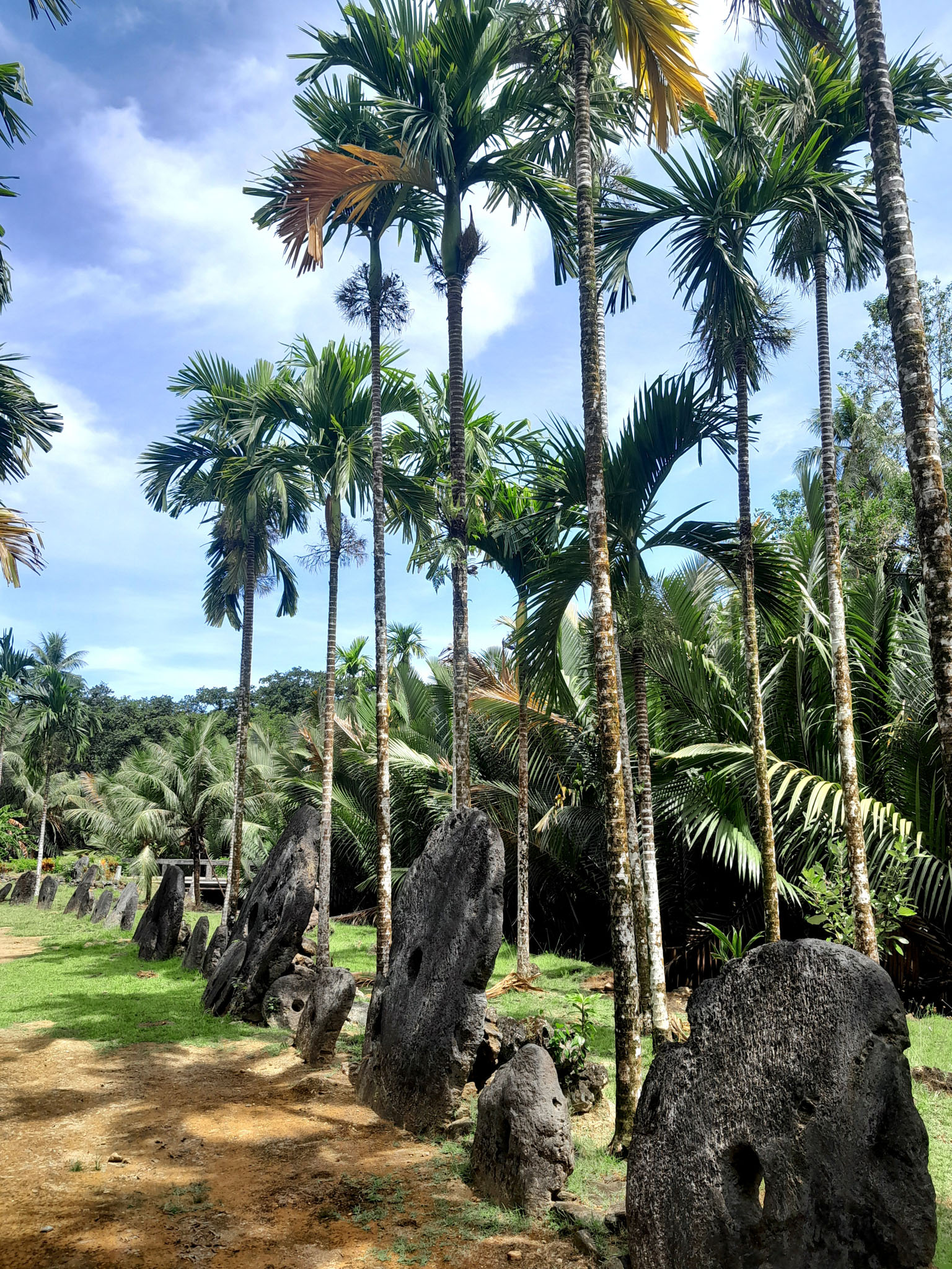
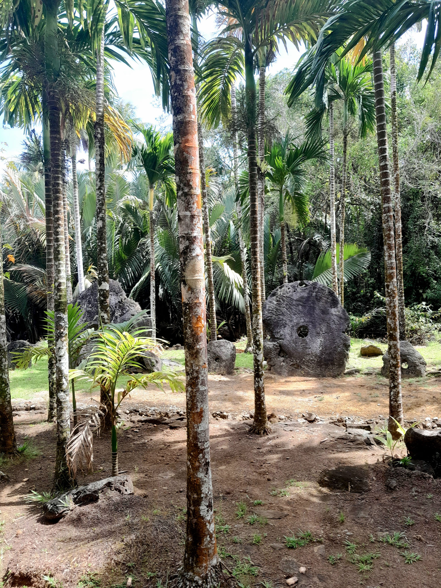
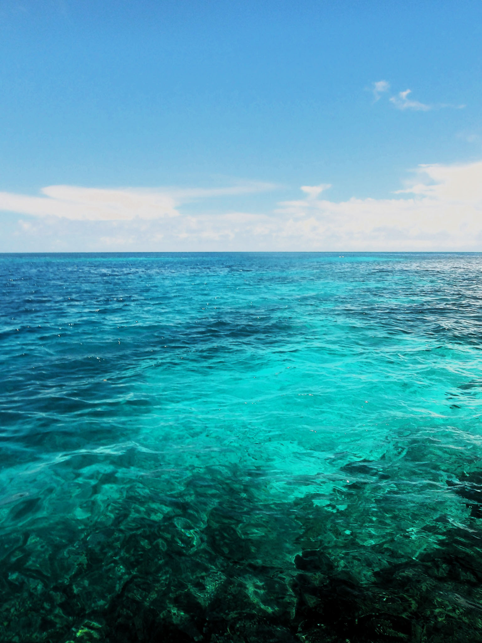
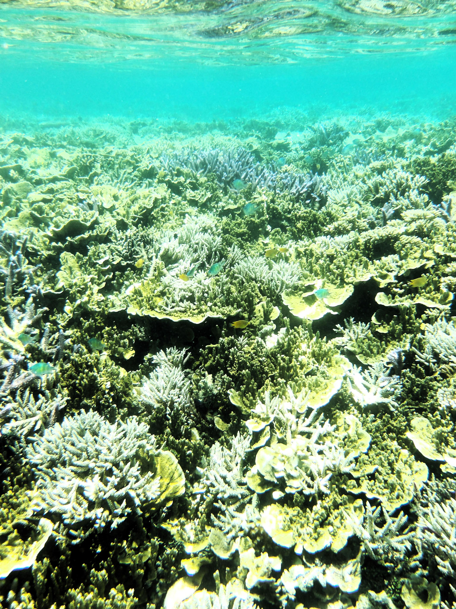
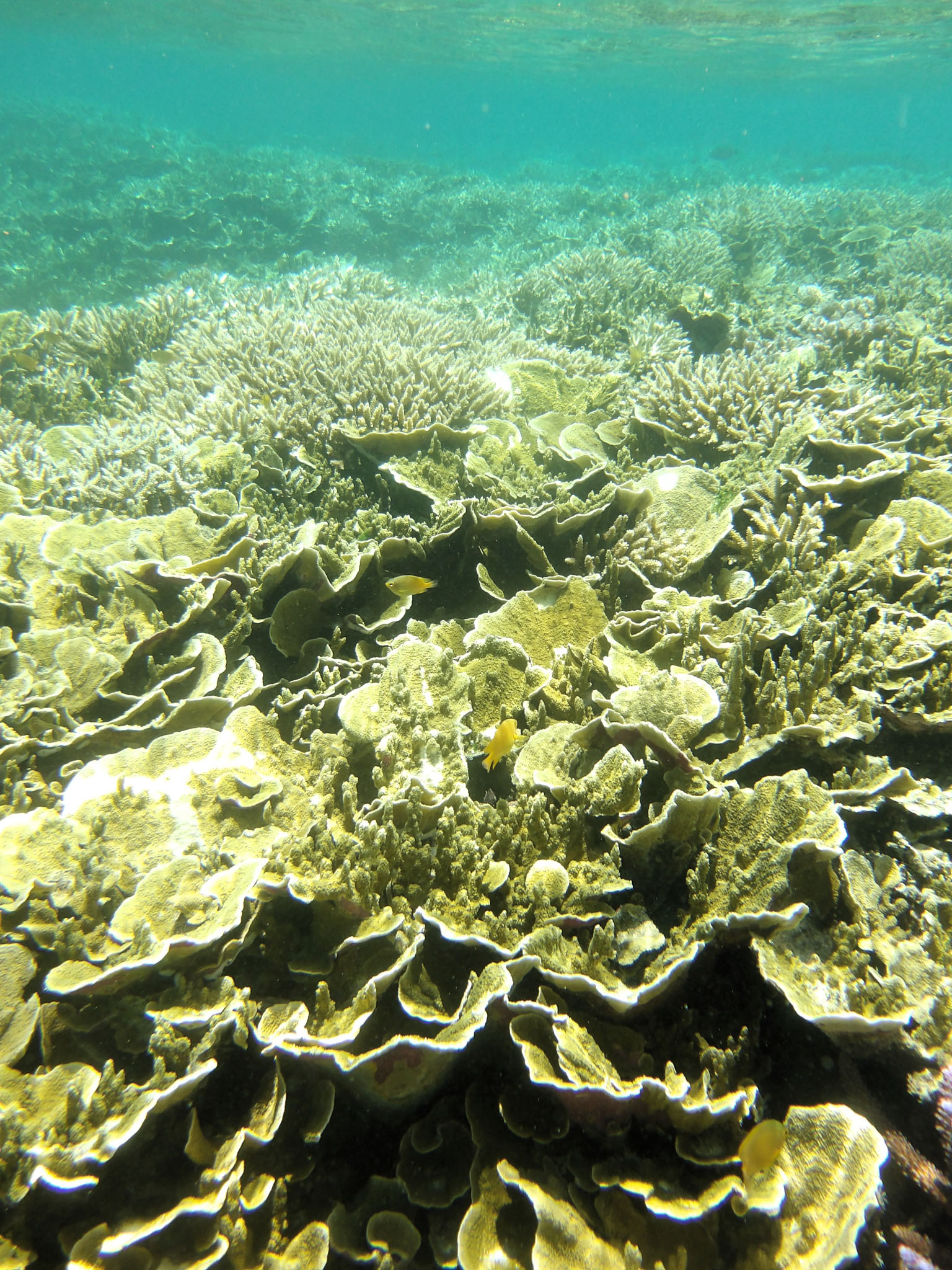
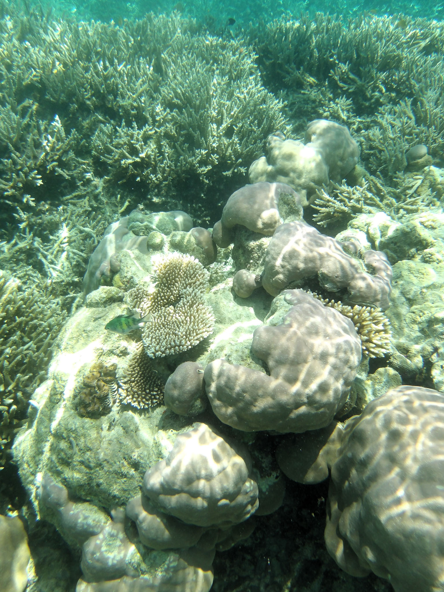
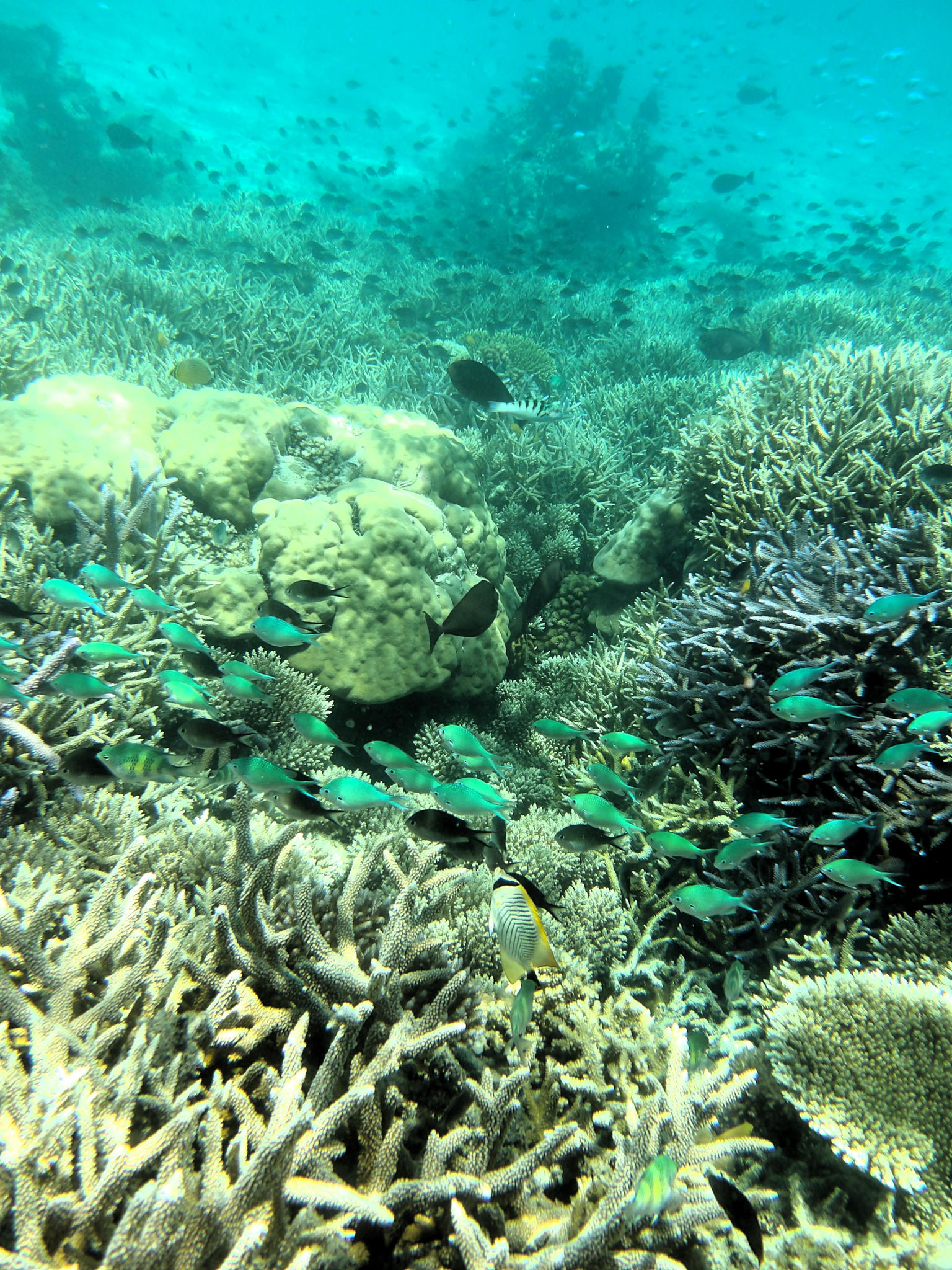
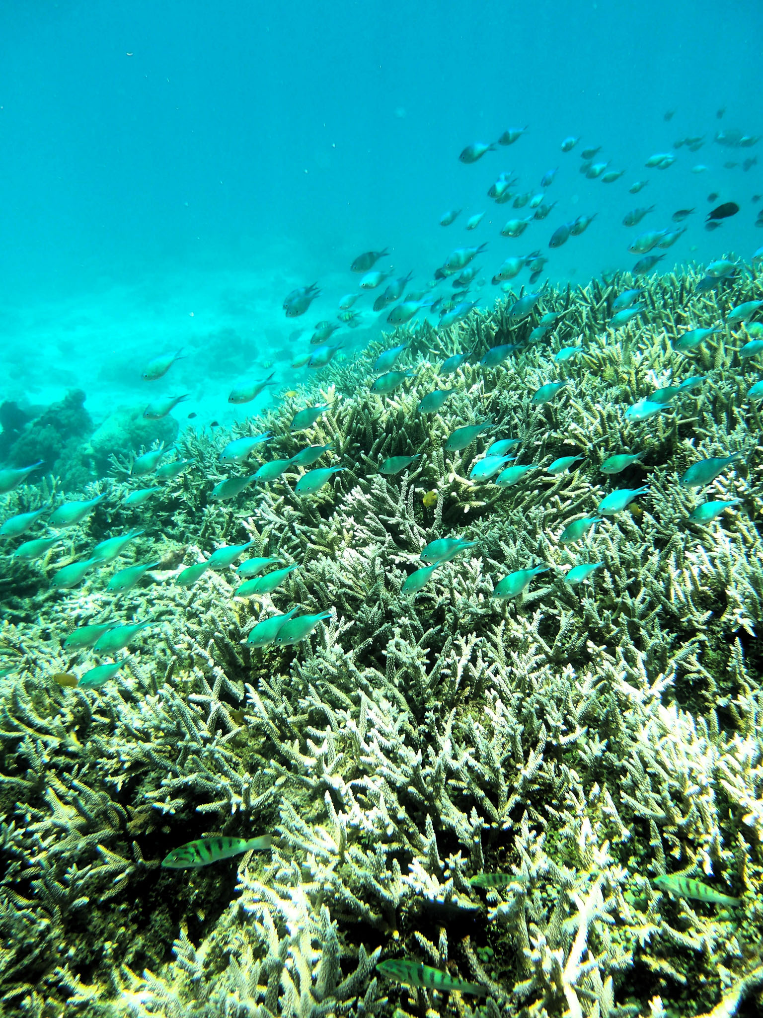
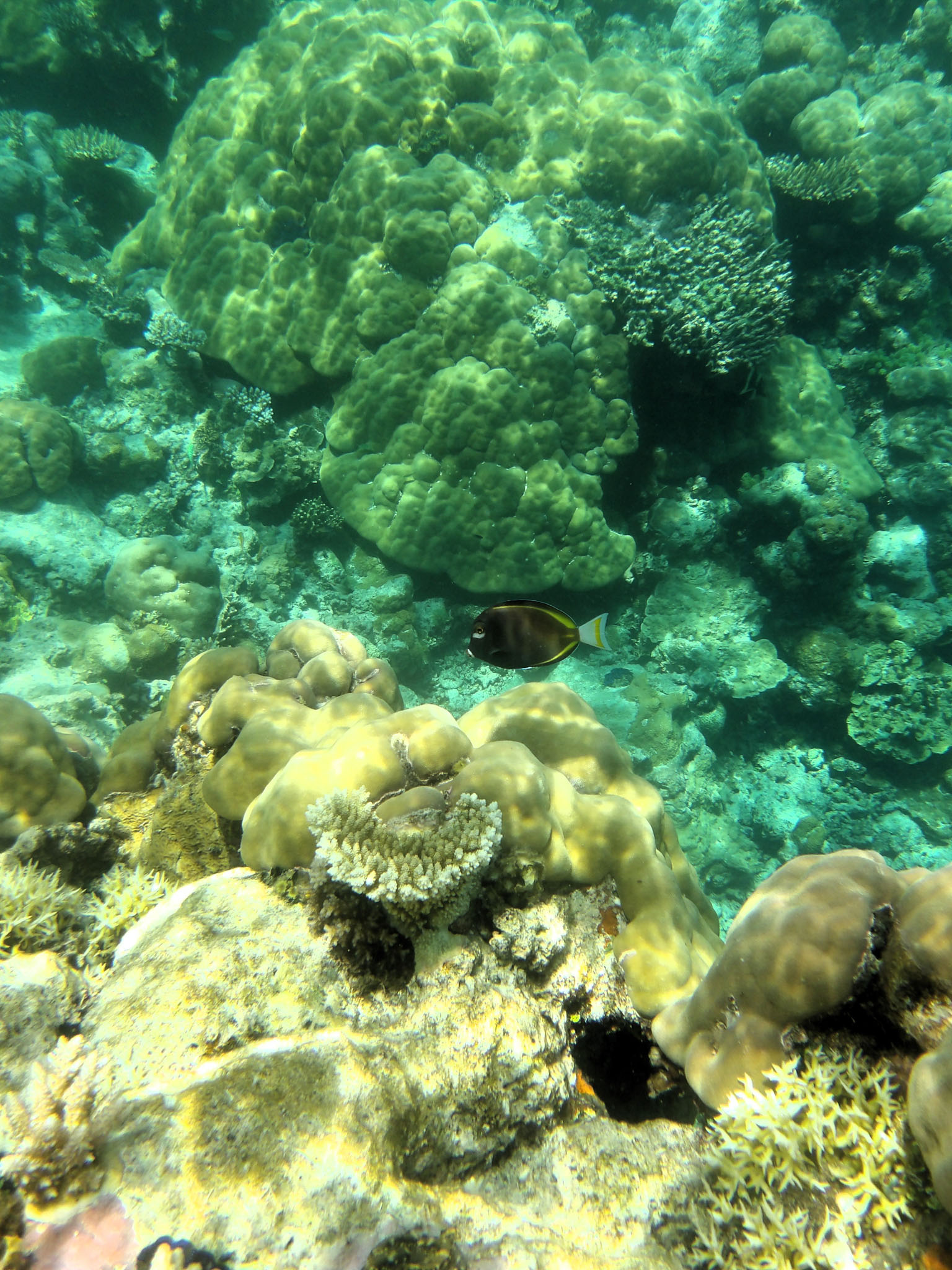
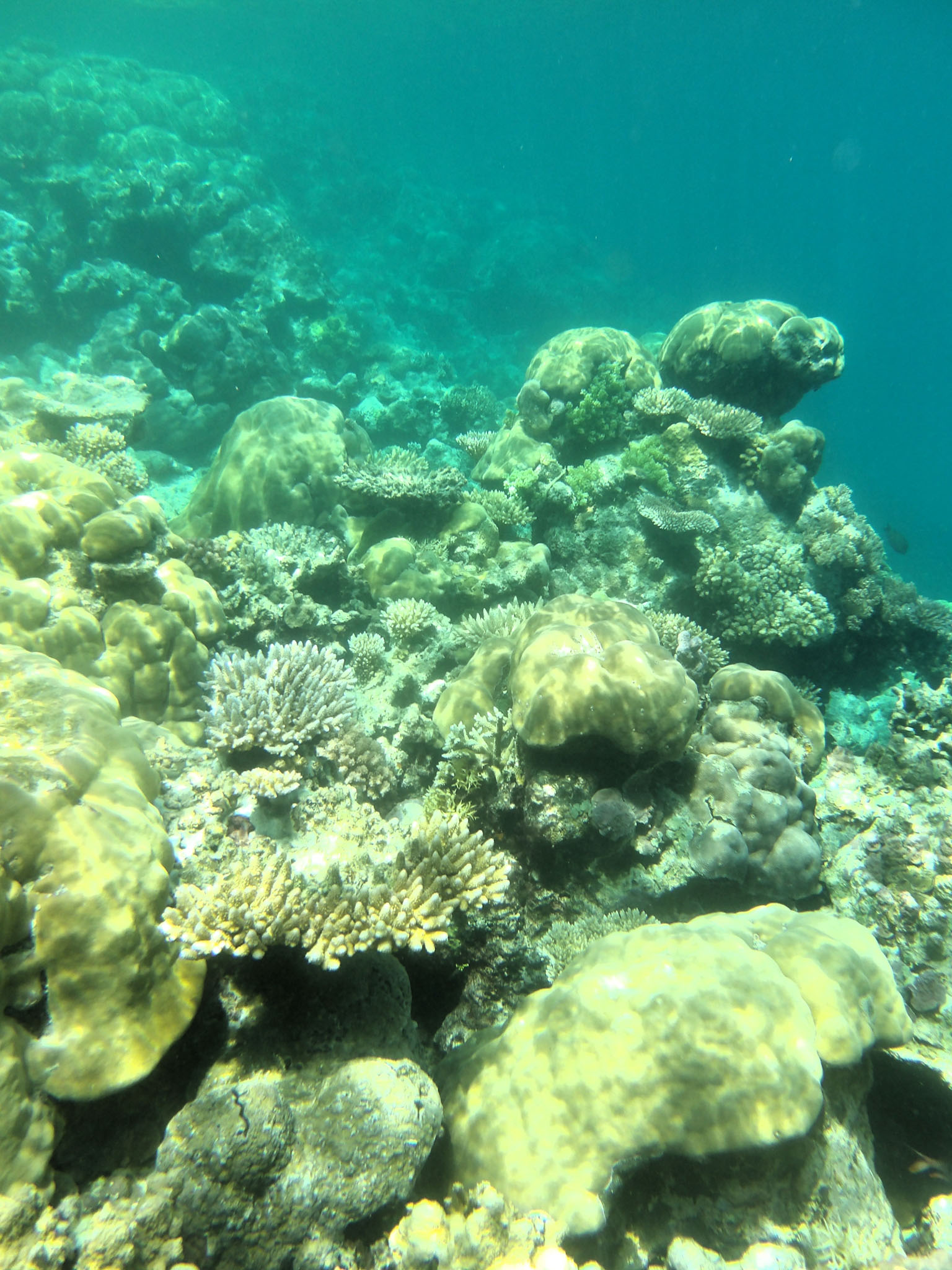
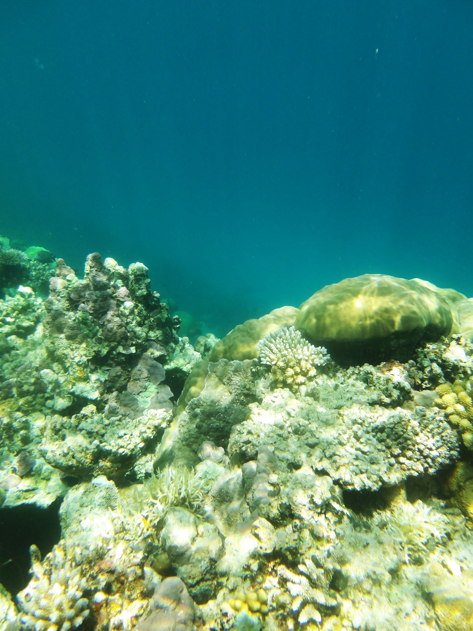
New Britain is the largest island in the Bismarck Archipelago, part of the Islands Region of Papua New Guinea. It is separated from New Guinea by a northwest corner of the Solomon Sea (or with an island hop of Umboi the Dampier and Vitiaz Straits) and from New Ireland by St. George’s Channel. The main towns of New Britain are Rabaul/Kokopo and Kimbe. The island is roughly the size of Taiwan.

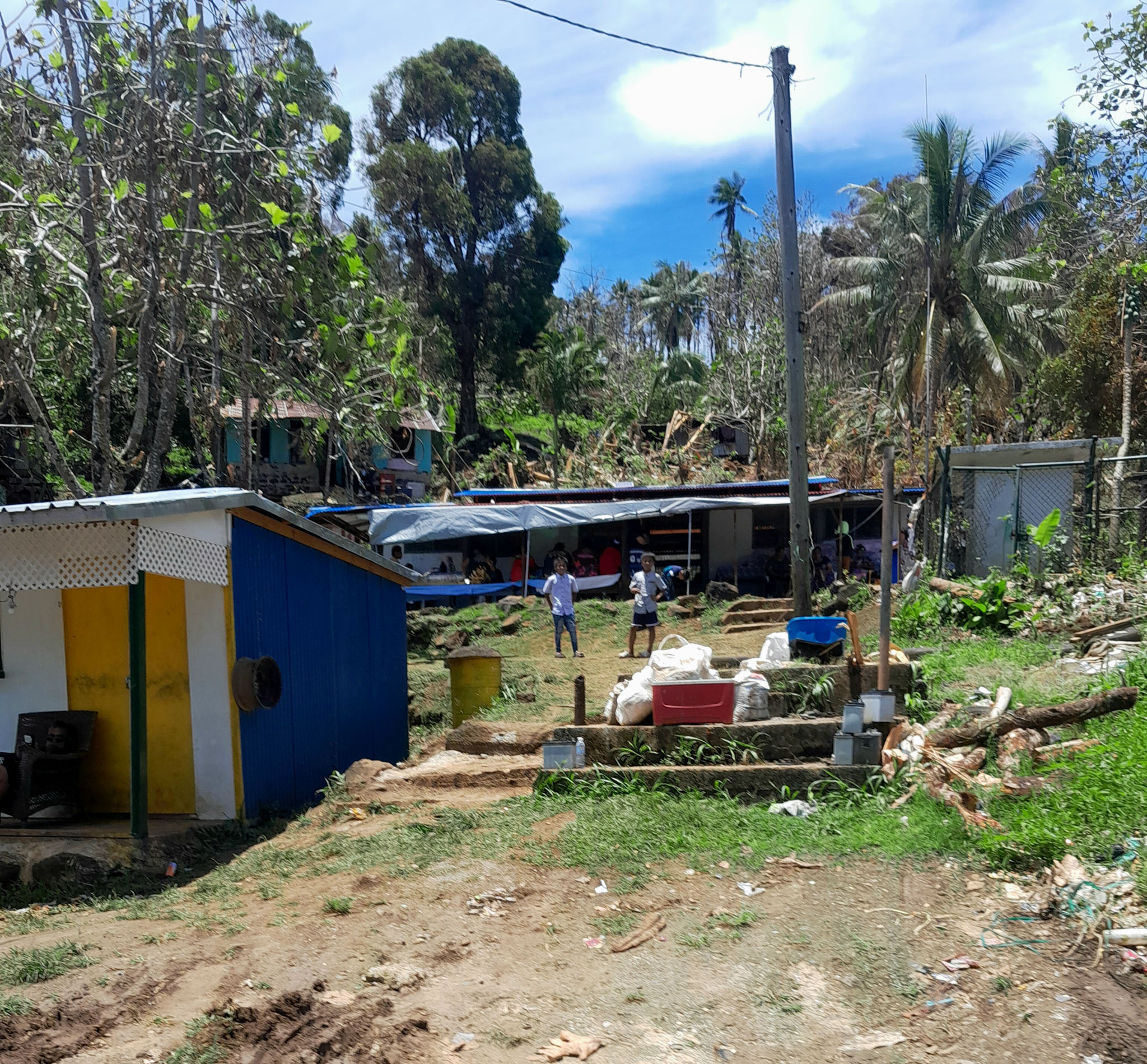
When the island was part of German New Guinea, its name was Neupommern (“New Pomerania”). In common with most of the Bismarcks it was largely formed by volcanic processes, and has active volcanoes including Ulawun (highest volcano nationally), Langila, the Garbuna Group, the Sulu Range, and the volcanoes Tavurvur and Vulcan of the Rabaul caldera. A major eruption of Tavurvur in 1994 destroyed the East New Britain provincial capital of Rabaul. Most of the town still lies under metres of ash, and the capital has been moved to nearby Kokopo.

Source: Wikipedia (under GNU Free Documentation License)

Categories
Papua New Guinea

Gingala Village

Gingala Village is located in Dreger Harbour, a harbour south of Finschhafen, Papua New Guinea.

During World War II, Dreger Harbour was used by Allied forces after the capture of Finschhafen in October 1943. The US Navy PT Boat Advance Base Six opened in June 1944. The Seabees built a camp for 800 troops, depot, water storage, wharf, pontoon dry docks for repair work, and an engine overhaul depot. The US Navy base was called Naval Base Finschhafen built in 1943.

Source: Wikipedia (under GNU Free Documentation License)

Categories
Papua New Guinea

Mou Village

Mou Village is located in Morobe Bay, a bay within Huon Gulf, on the coast of Morobe Province, Papua New Guinea.

The American and Australian armed forces used Morobe Bay, also known as “Morobe Harbour”, as a safe anchorage and staging point as part of the New Guinea campaign during World War II.

Source: Wikipedia (under GNU Free Documentation License)

Categories
Papua New Guinea

Buna Village

Buna is a village in Oro Province, Papua New Guinea. It was the site in part, of the Battle of Buna–Gona during World War II, when it constituted a variety of native huts and a handful of houses with an airstrip. Buna was the trailhead to the Kokoda Track leading to Kokoda.

Source: Wikipedia (under GNU Free Documentation License)