Categories
Guadeloupe

Guadeloupe II

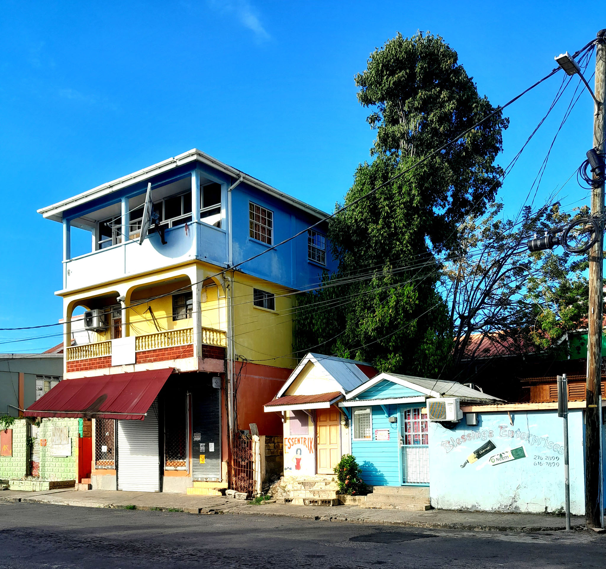
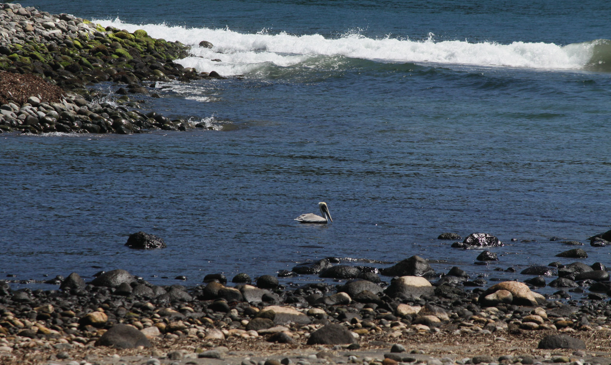
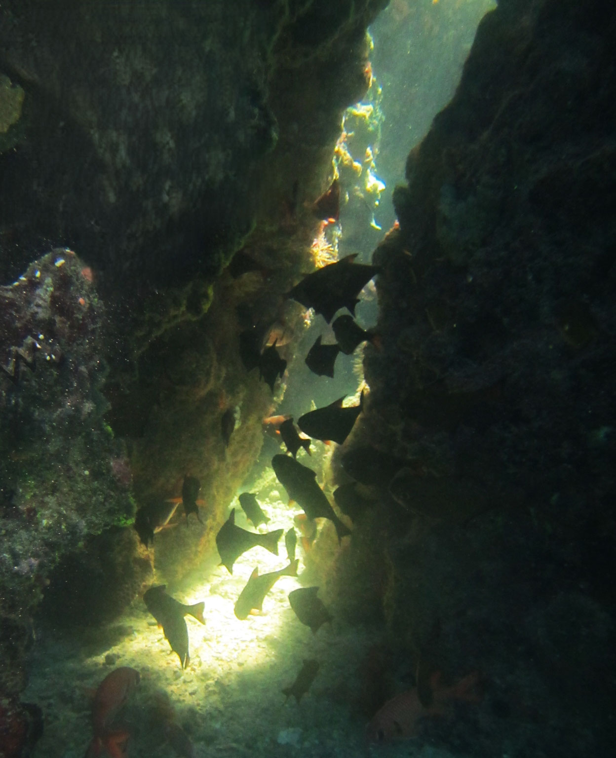
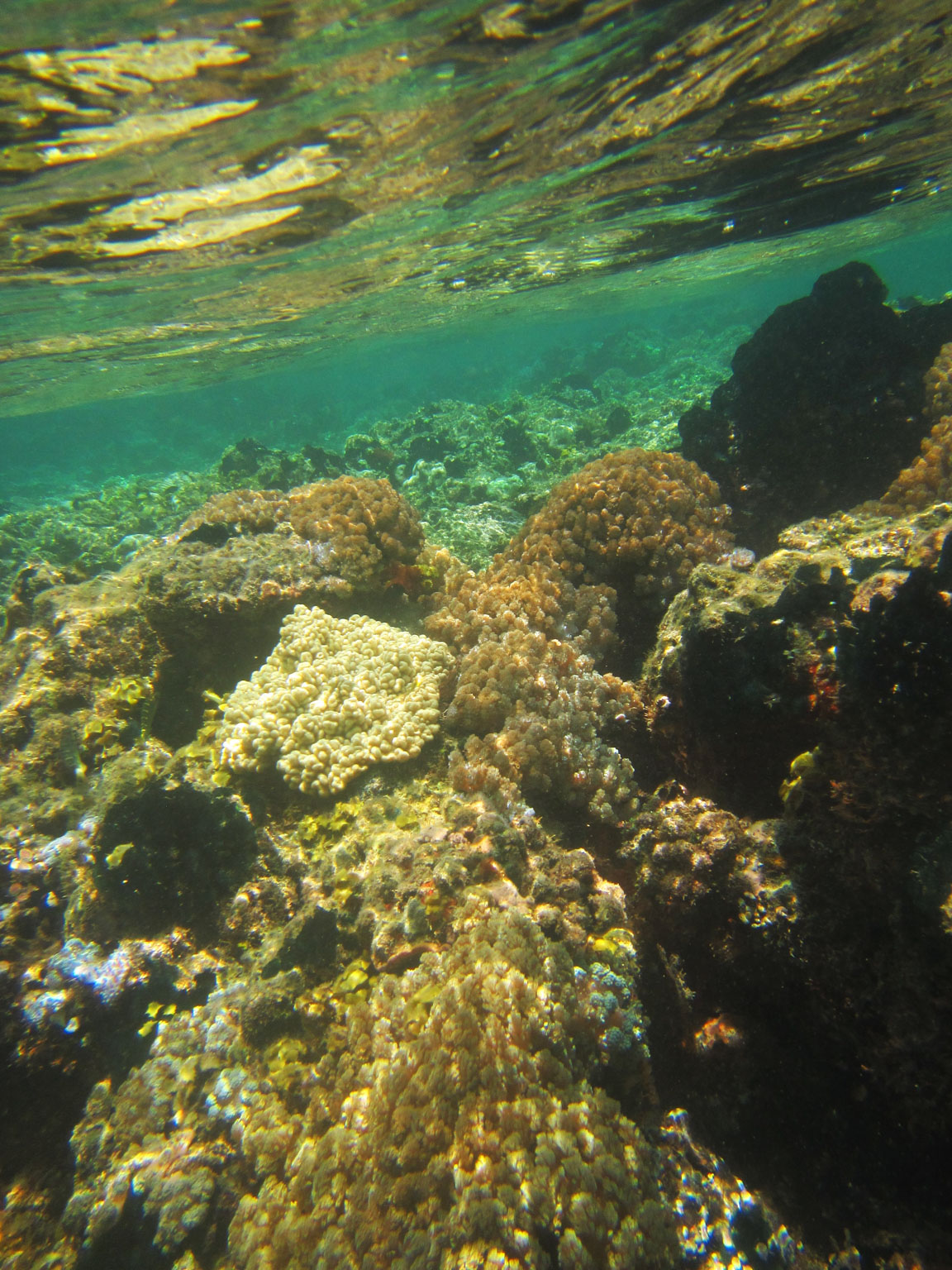
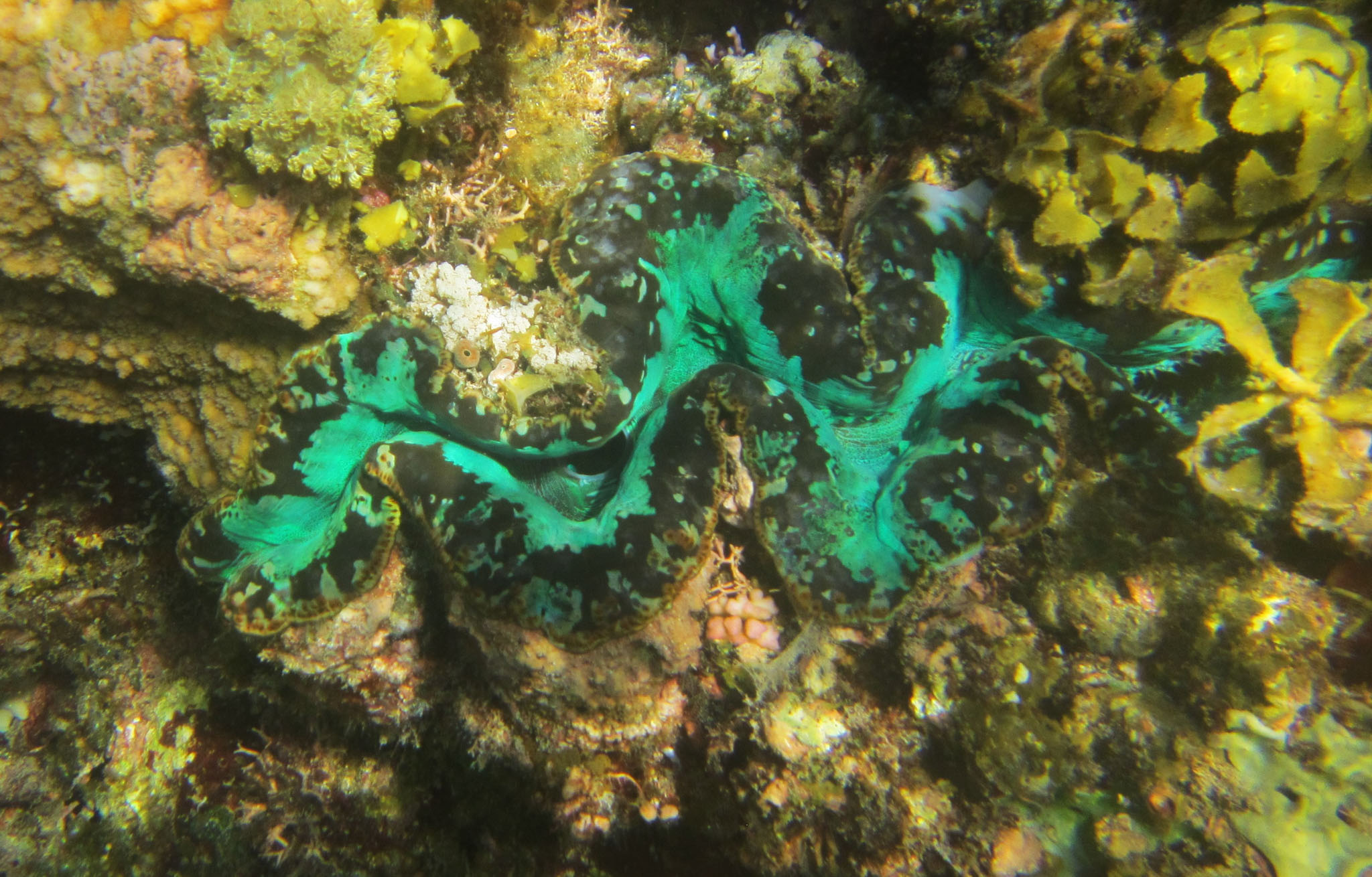
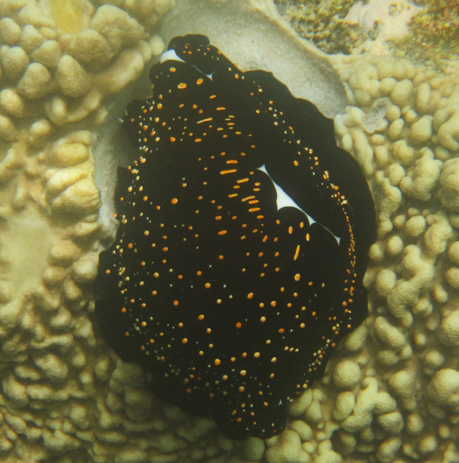
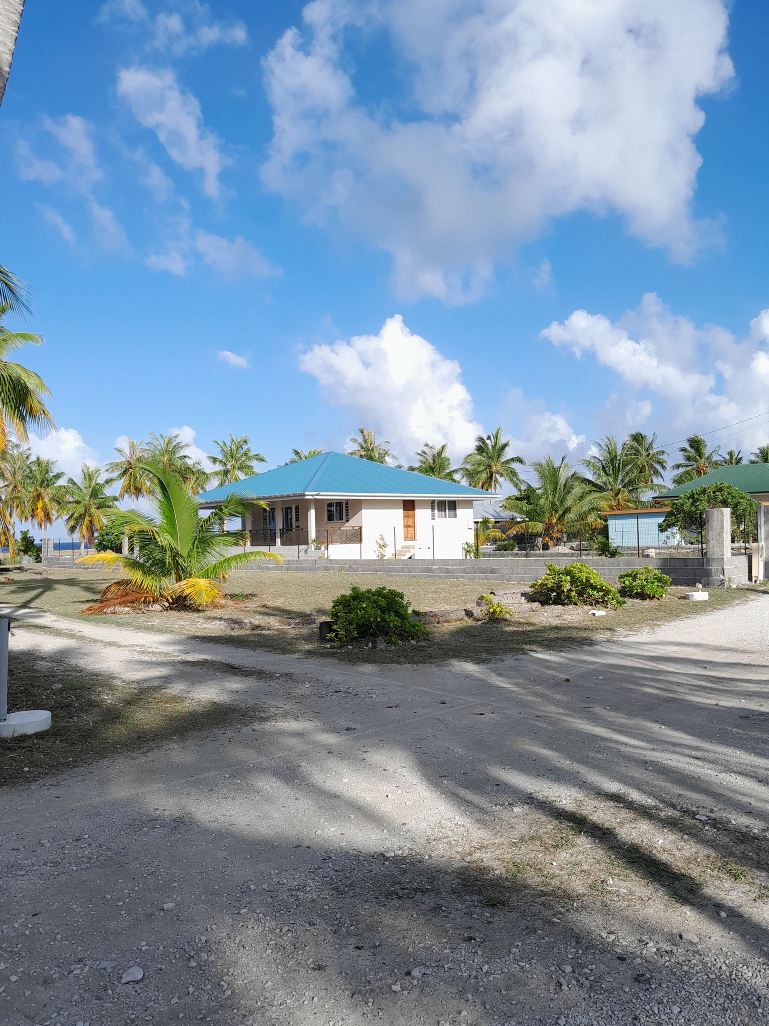
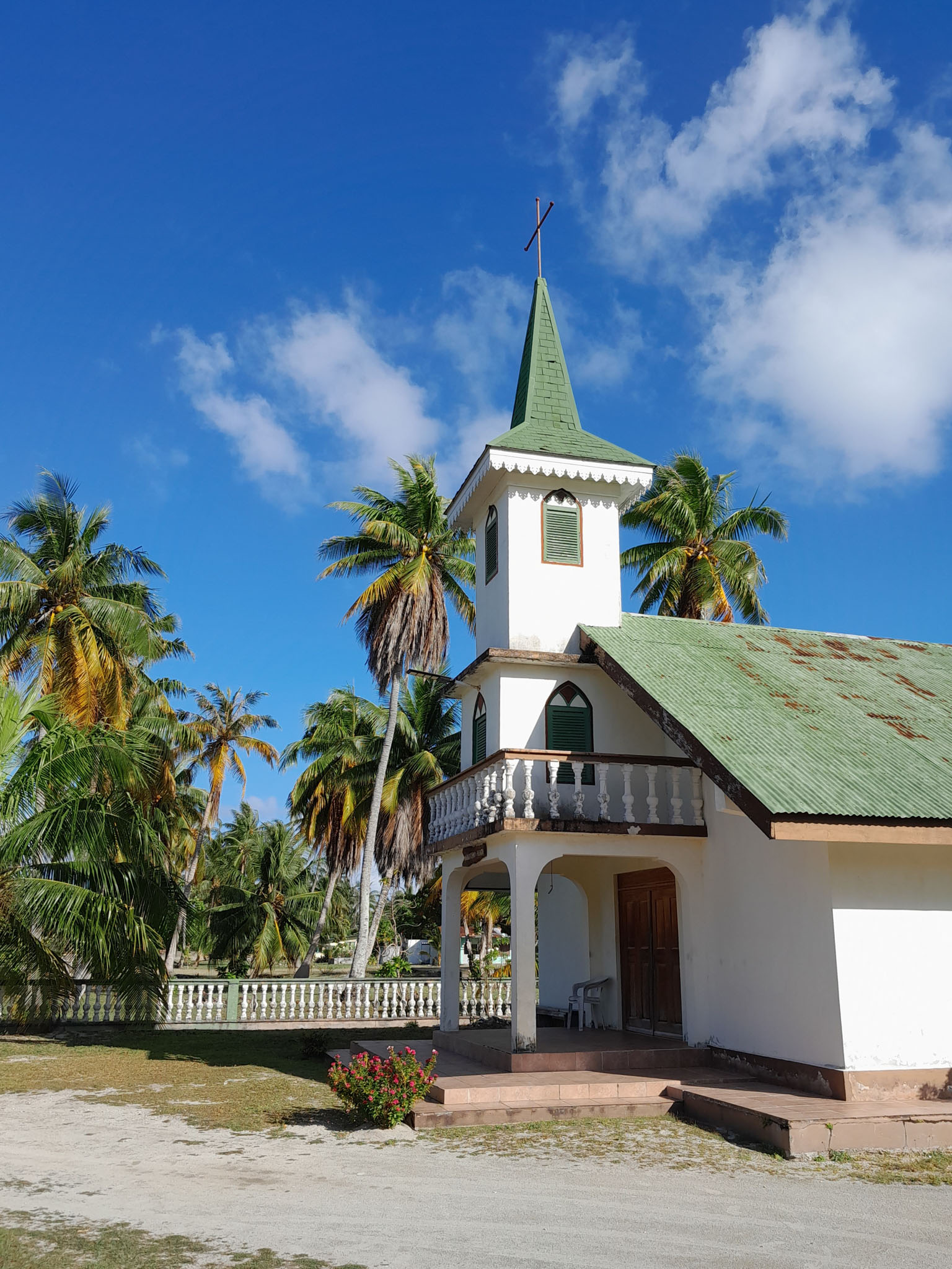
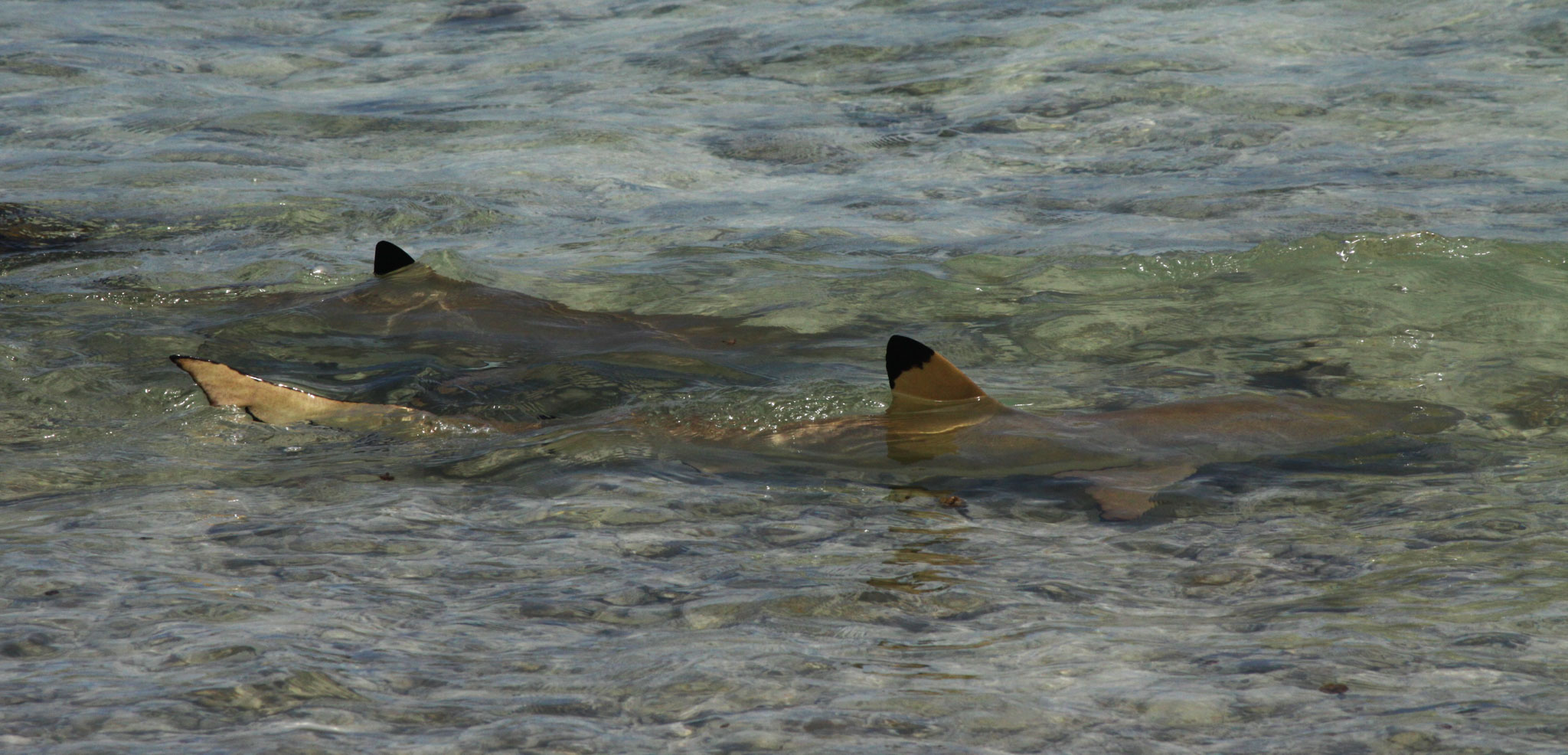
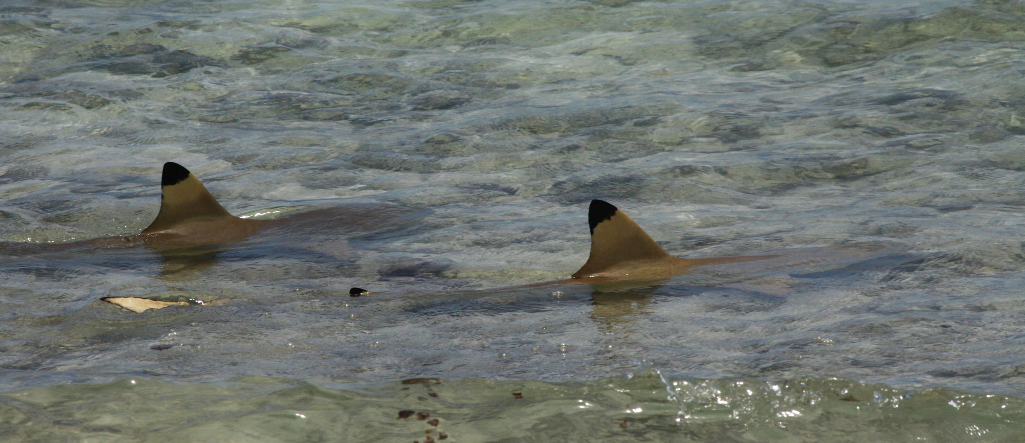
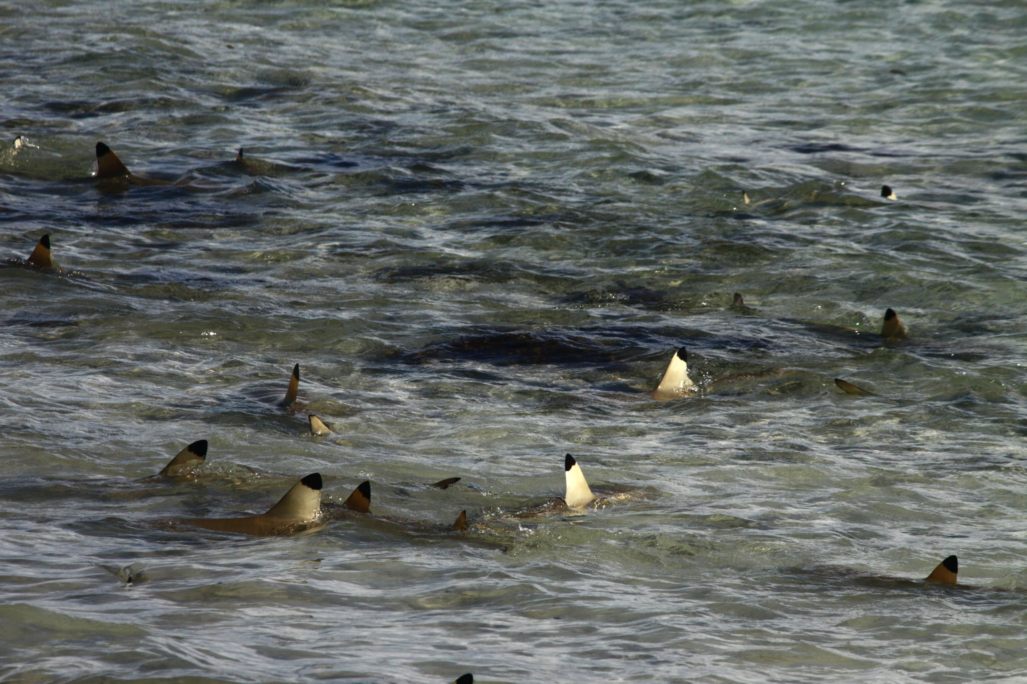
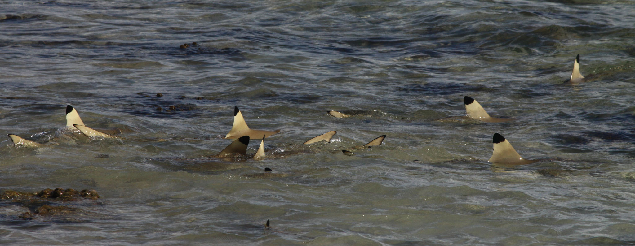
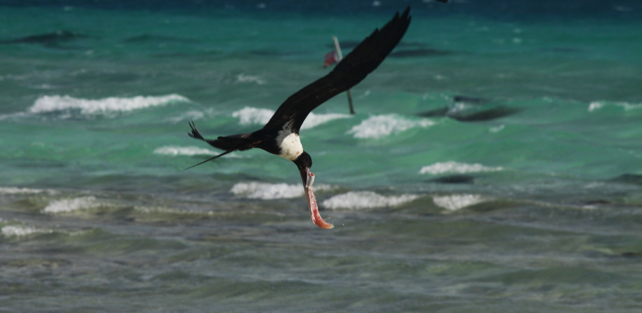
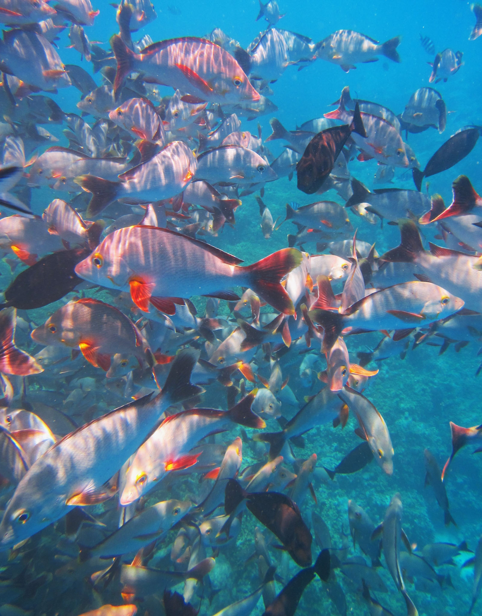
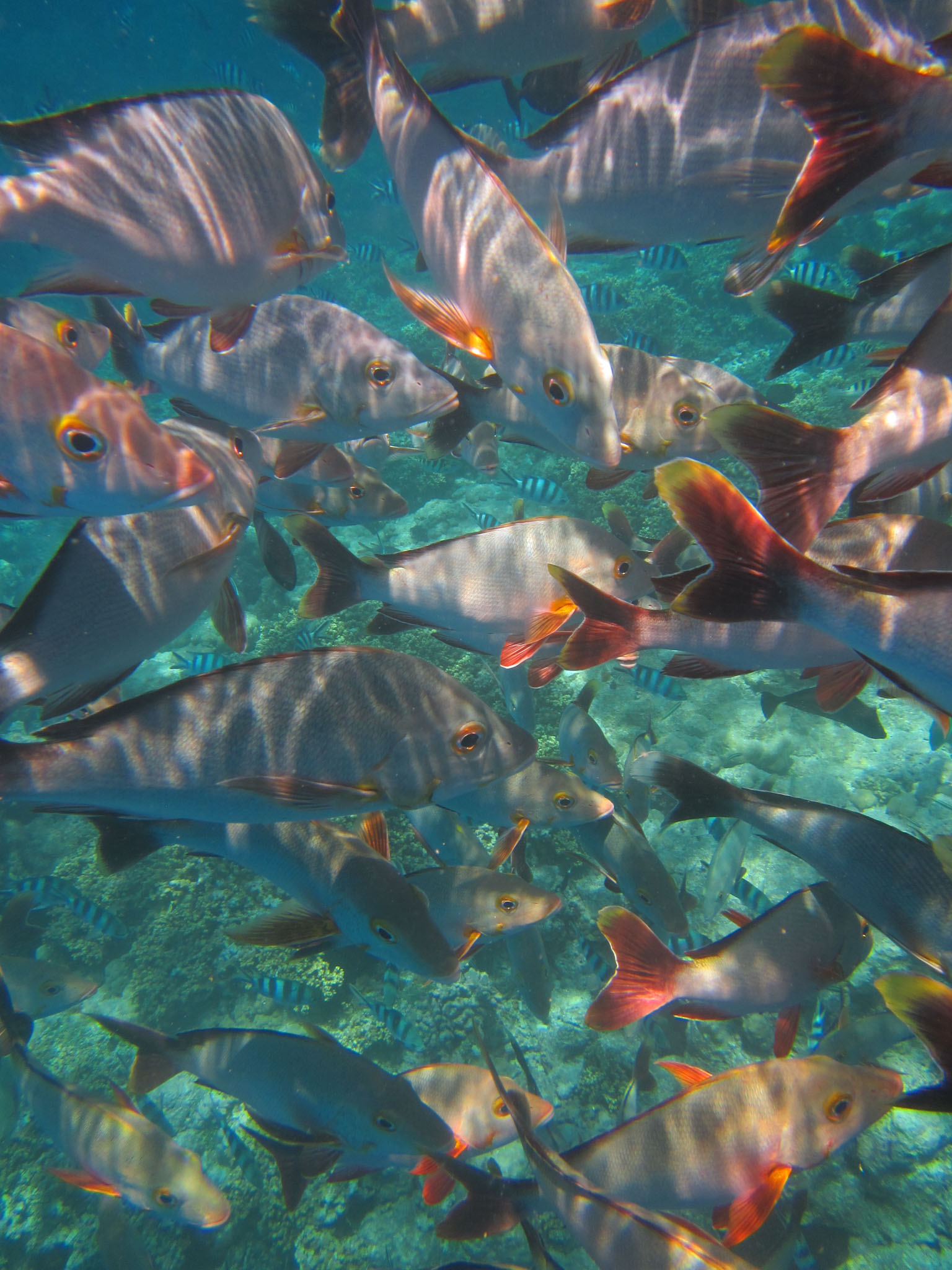
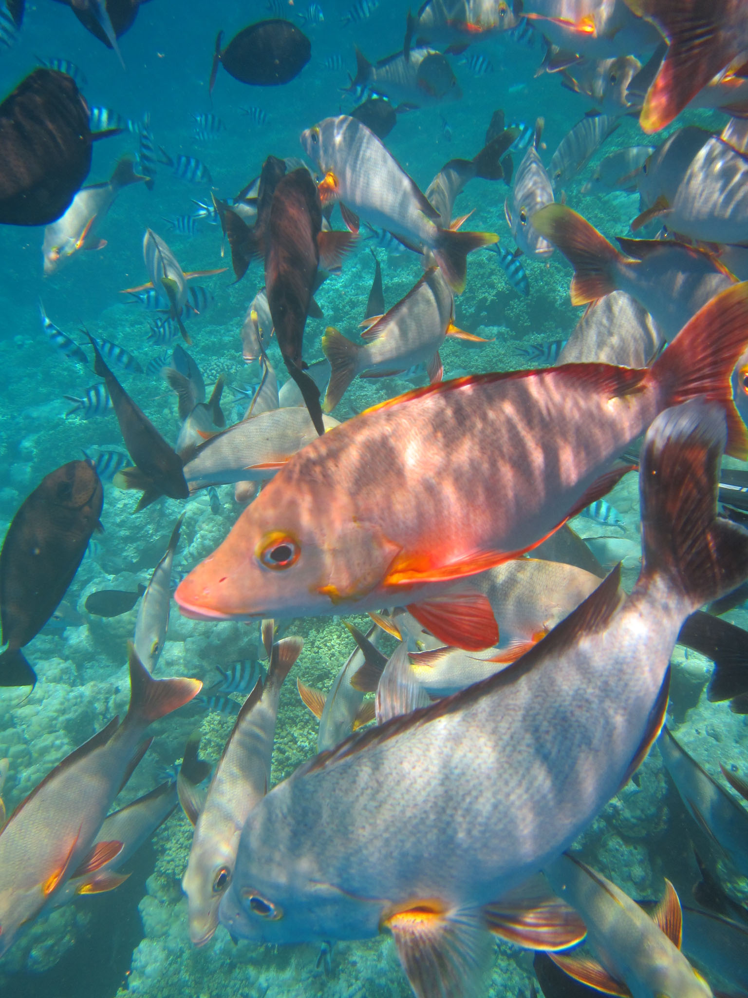
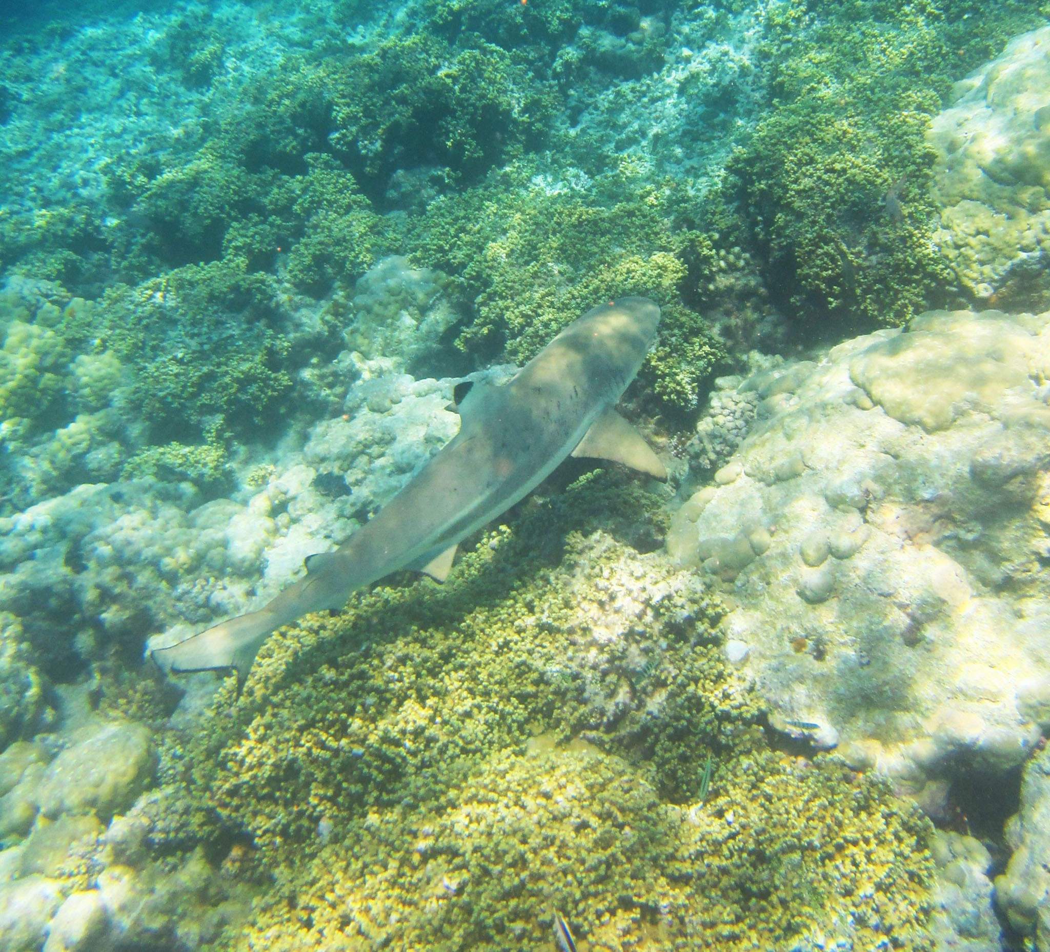
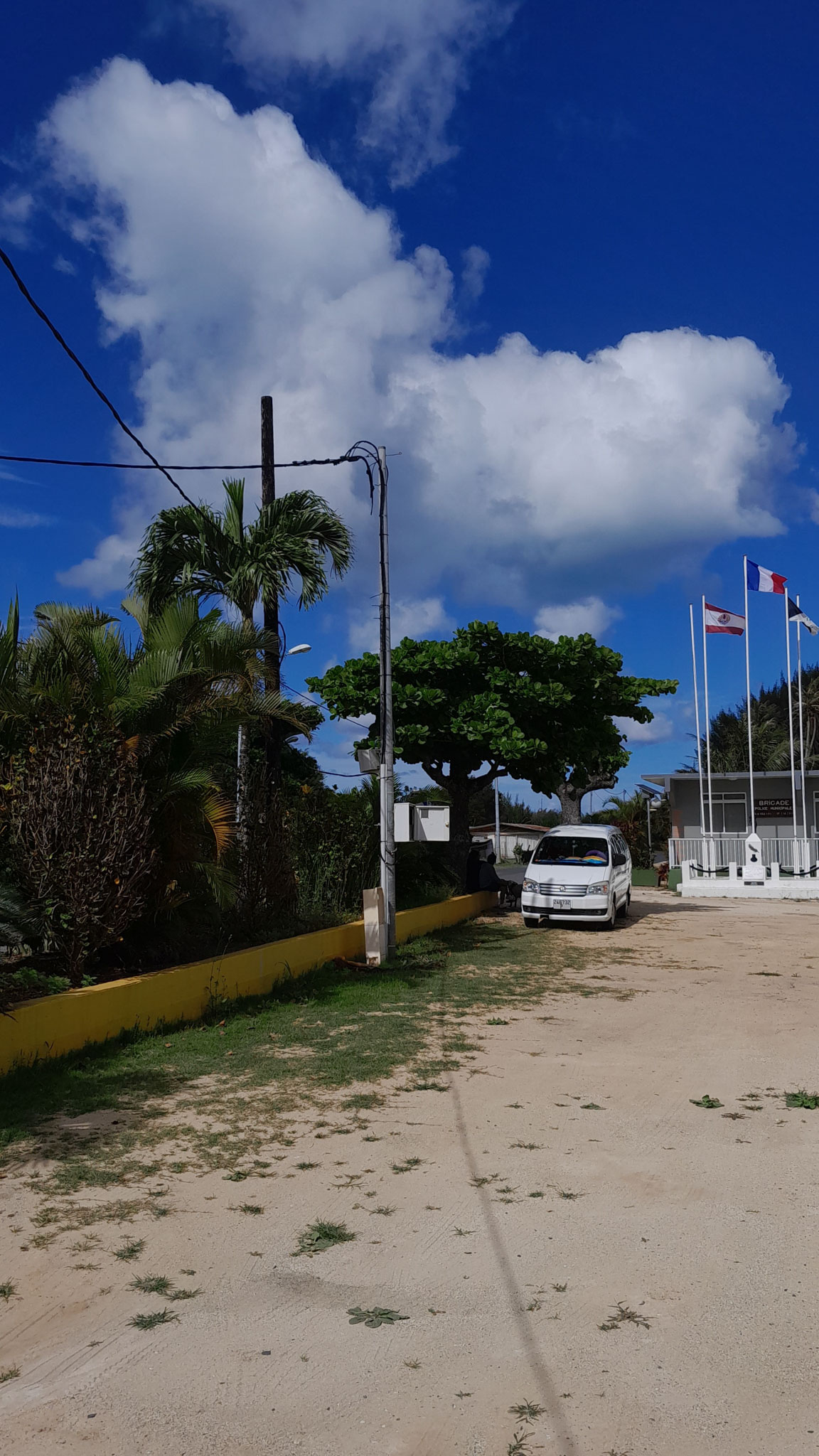
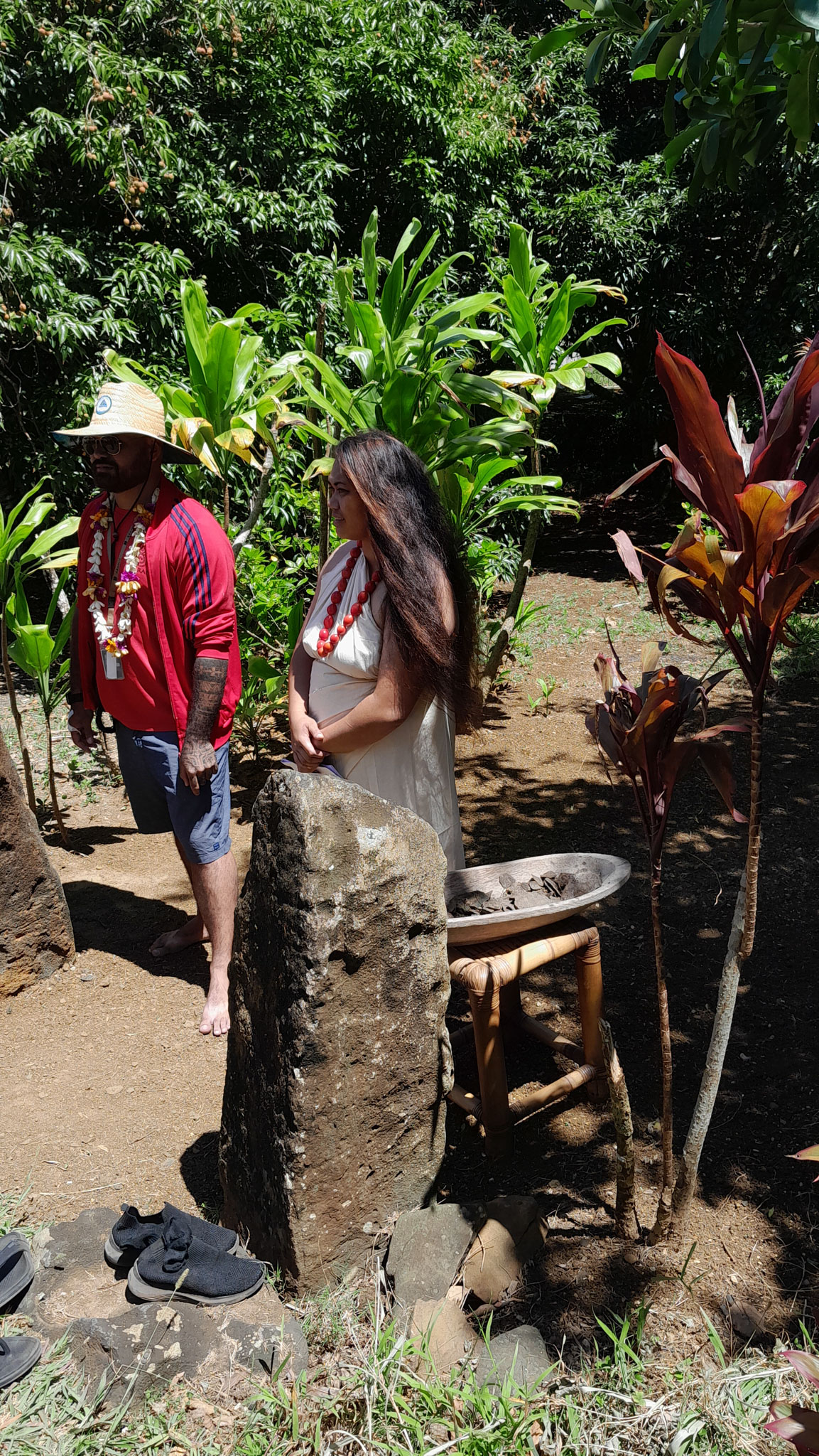
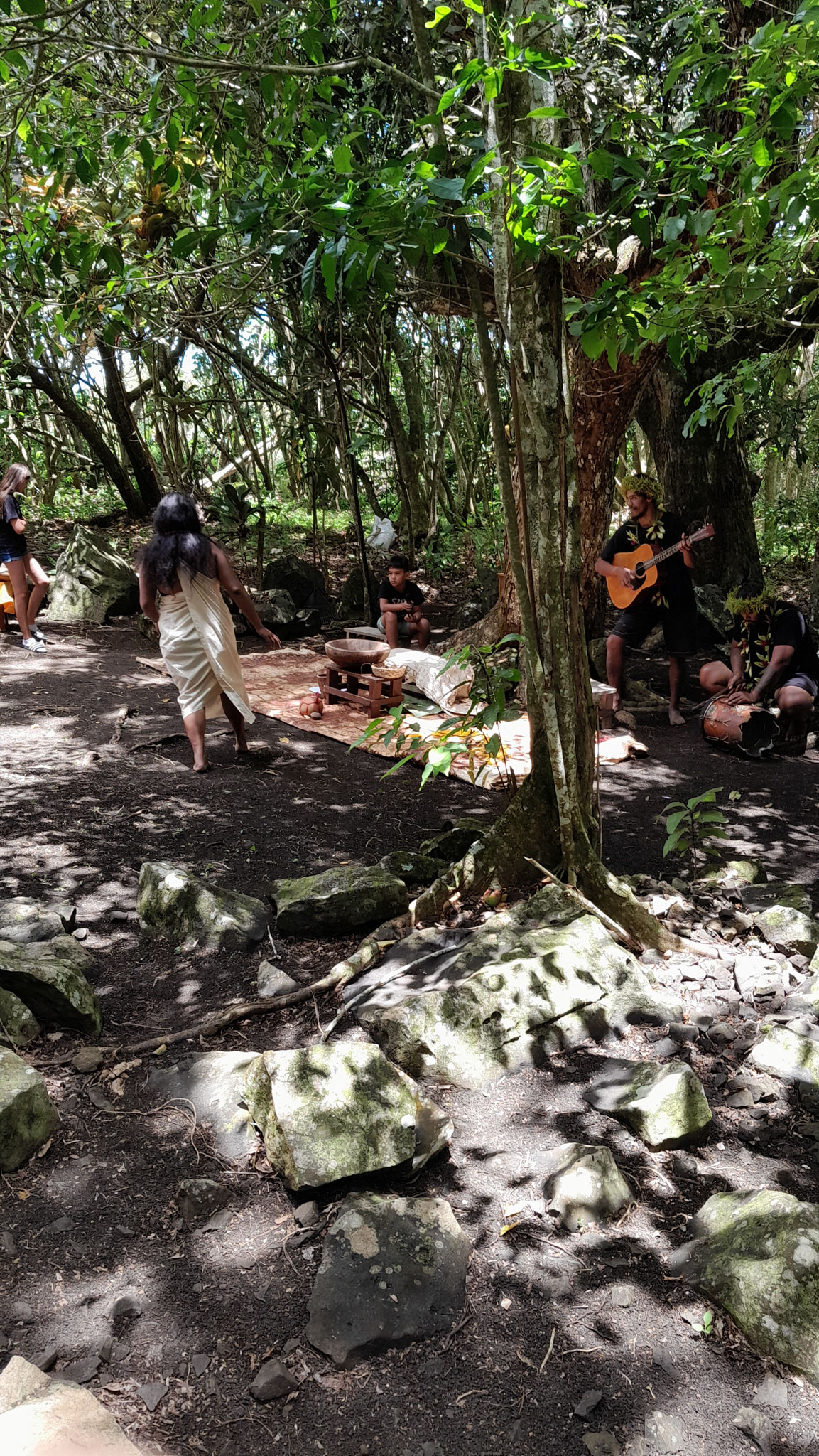
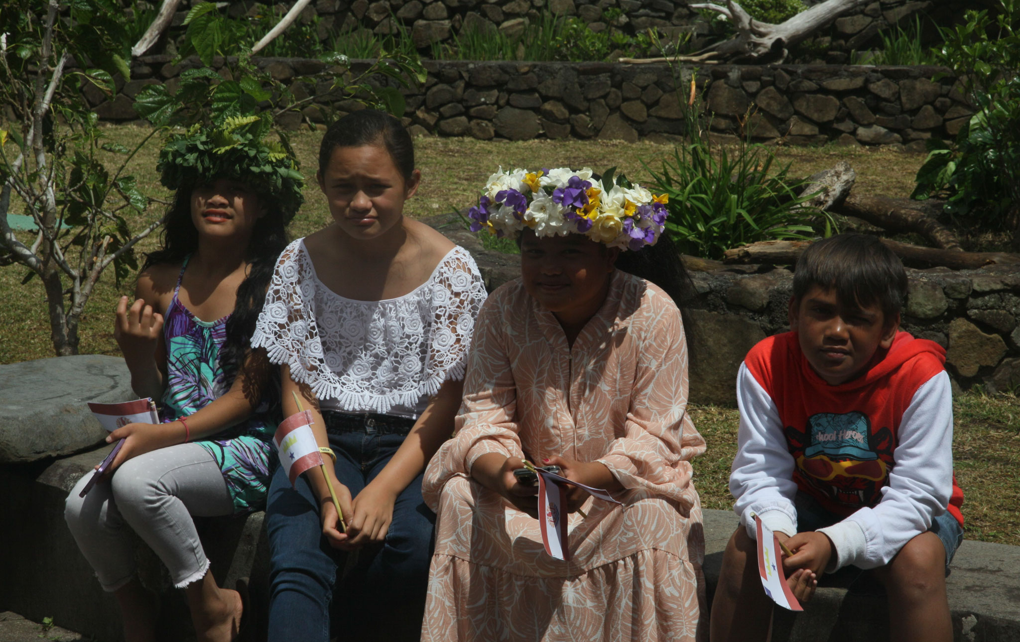
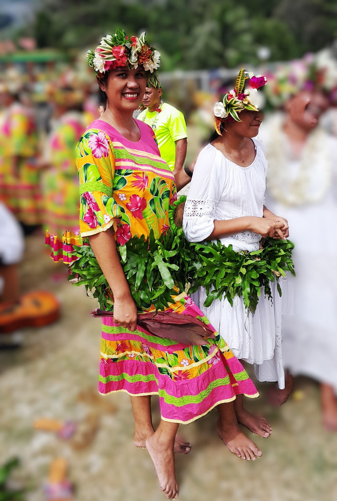
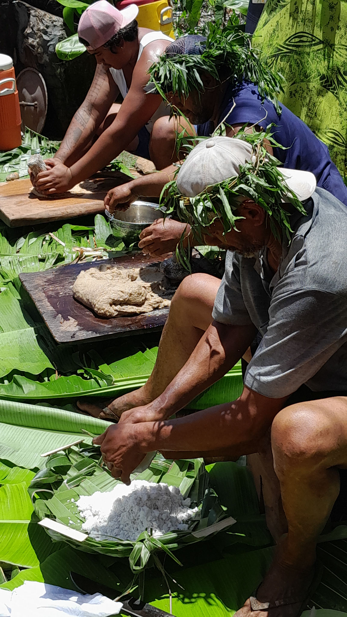
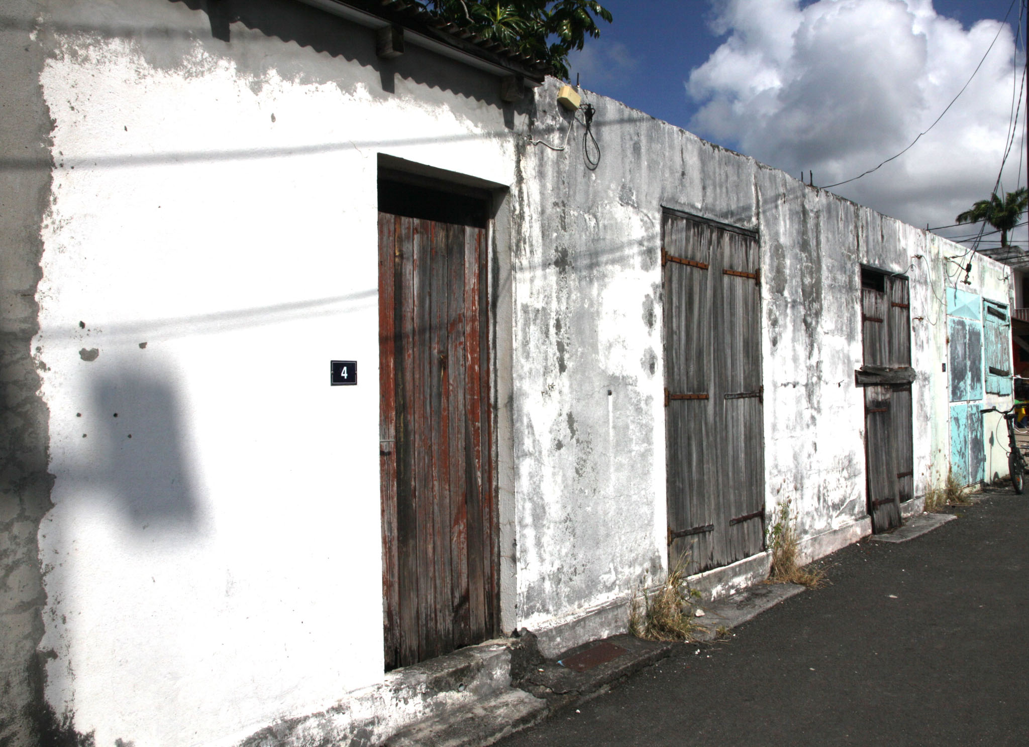
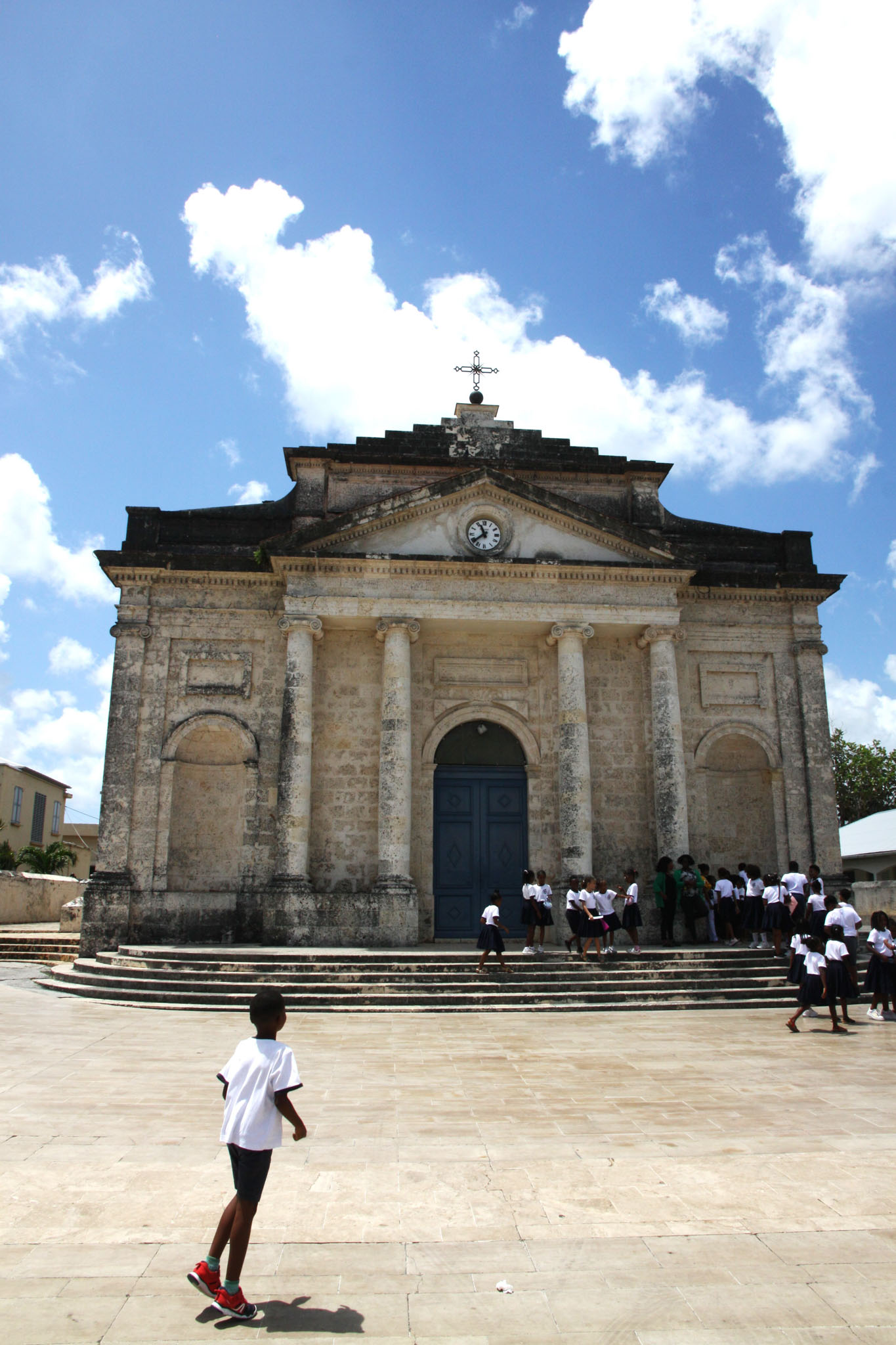
Guadeloupe (Antillean Creole: Gwadloup) is an archipelago located in the eastern Caribbean Sea; with a land area of 1,628 square kilometres (629 sq. mi). It is an overseas department of France. As with the other overseas departments, Guadeloupe is also one of the twenty-six regions of France (being an overseas region) and an integral part of the Republic. As part of France, Guadeloupe is part of the European Union; hence, as for most EU countries, its currency is the euro. However, Guadeloupe does not fall under the Schengen Agreement. The prefecture of Guadeloupe is Basse-Terre.

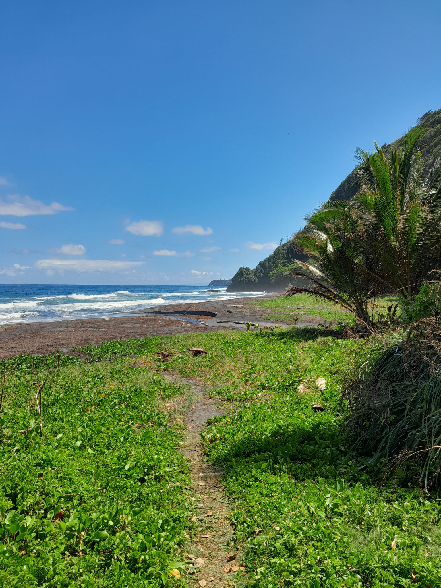
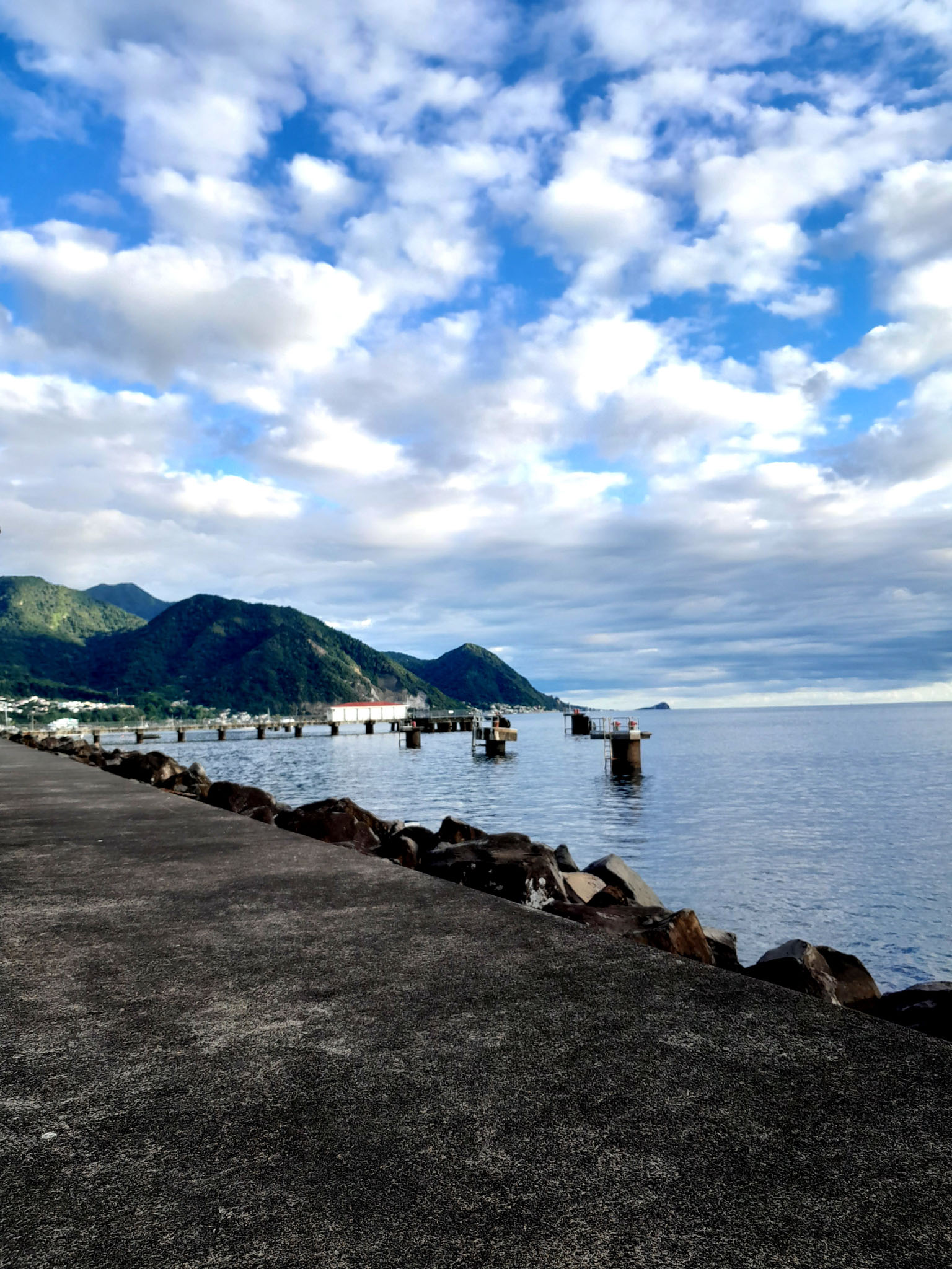
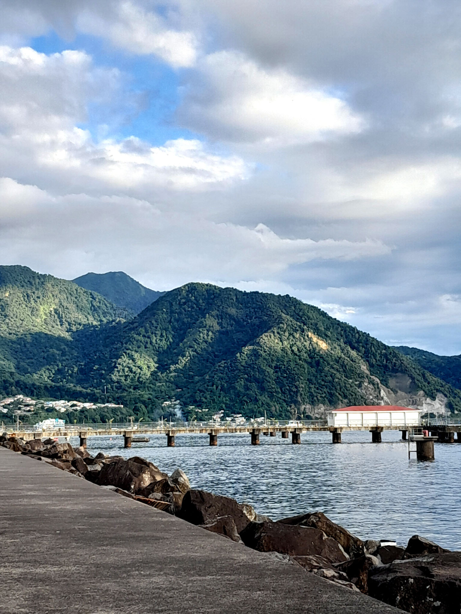
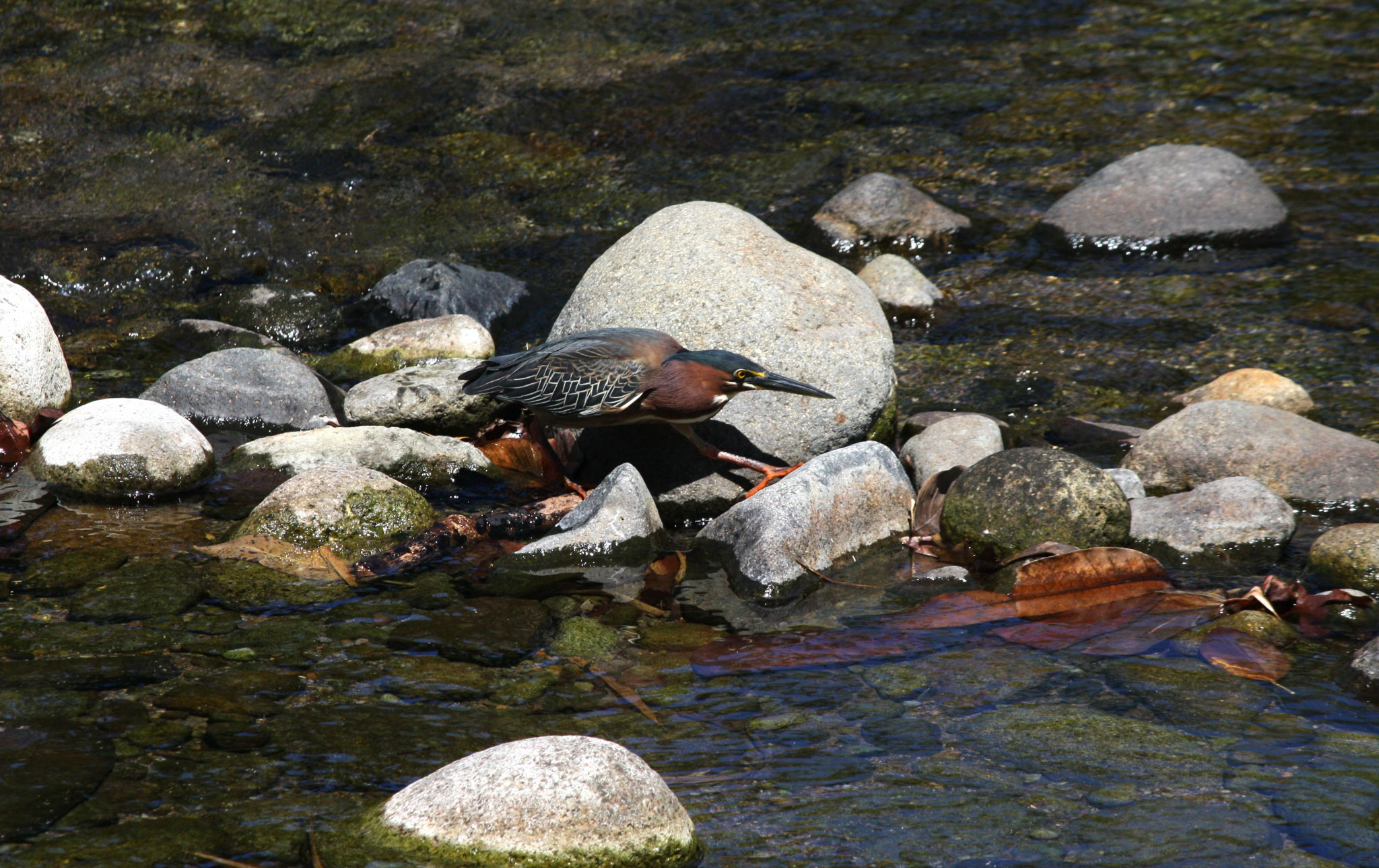
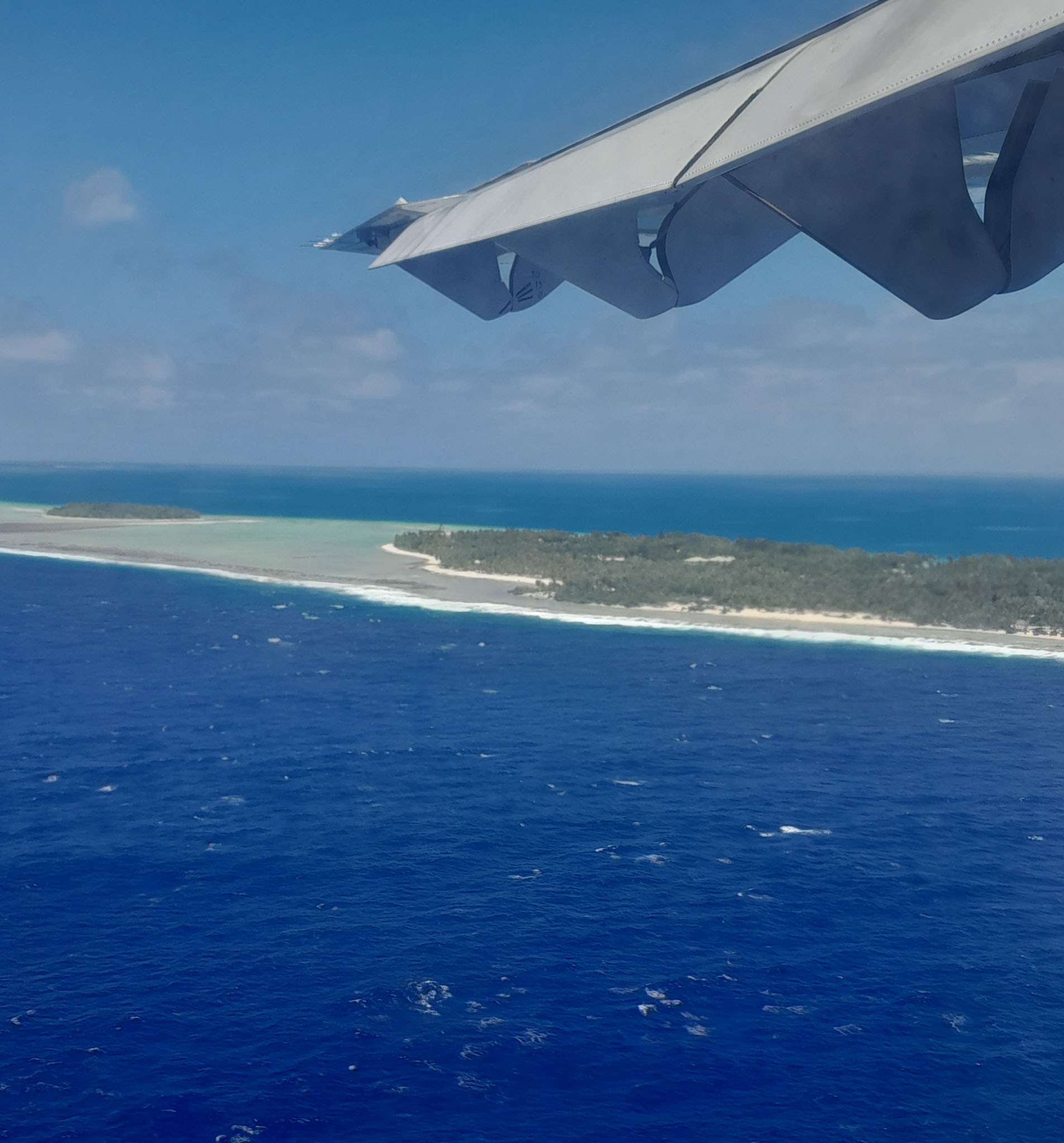
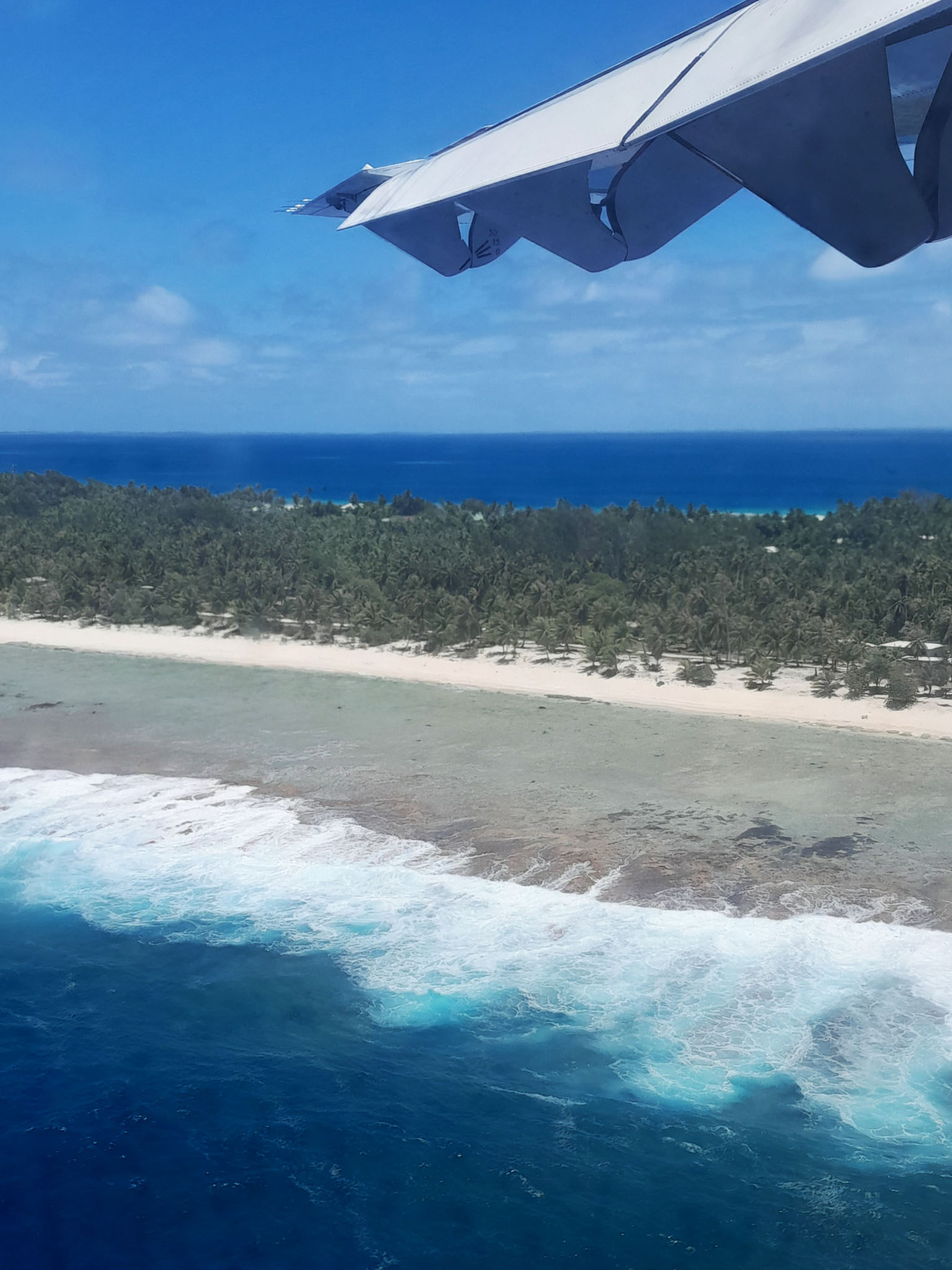
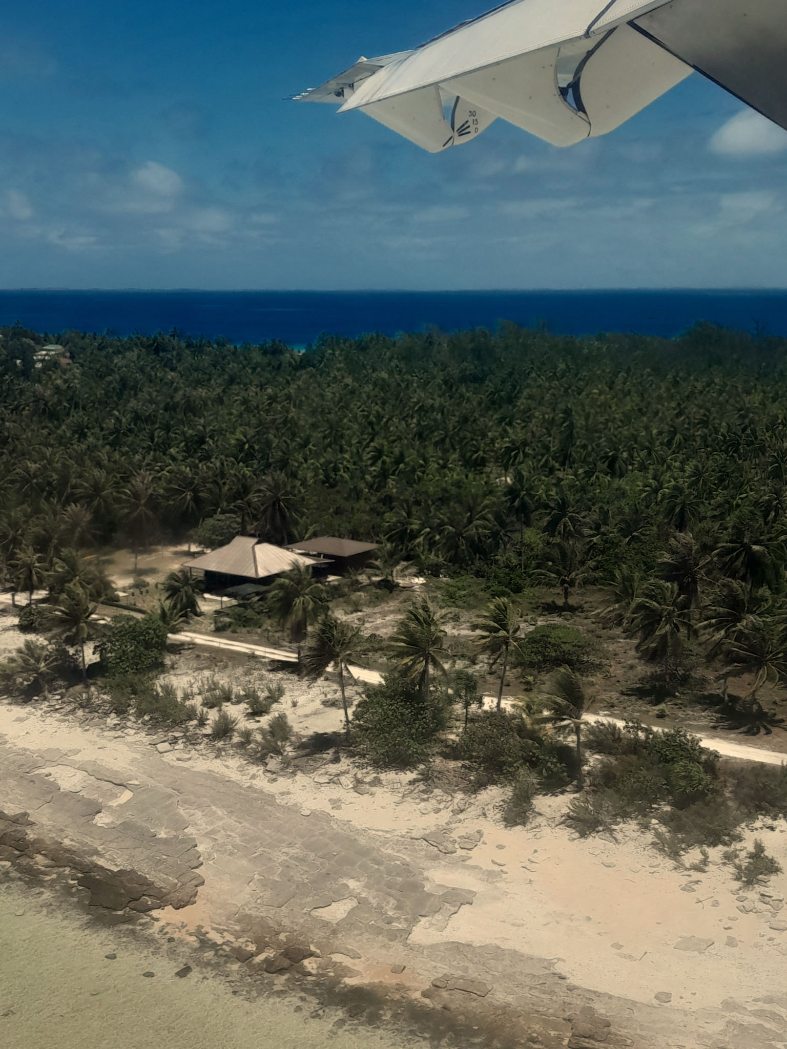
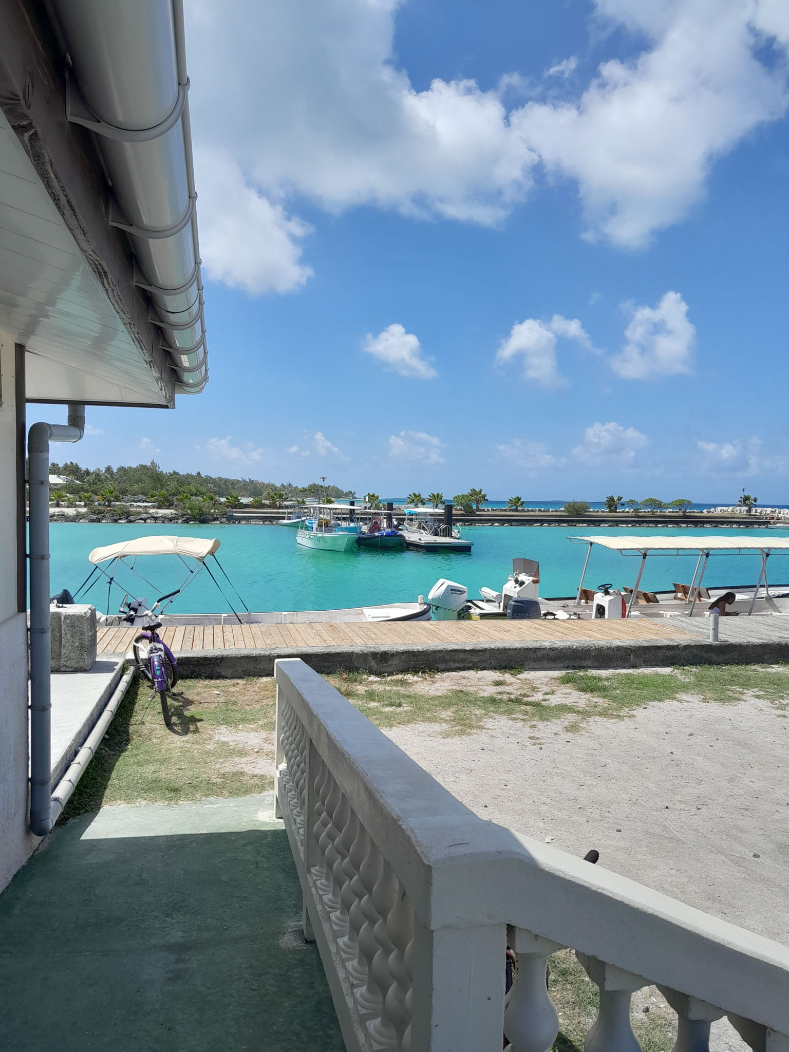
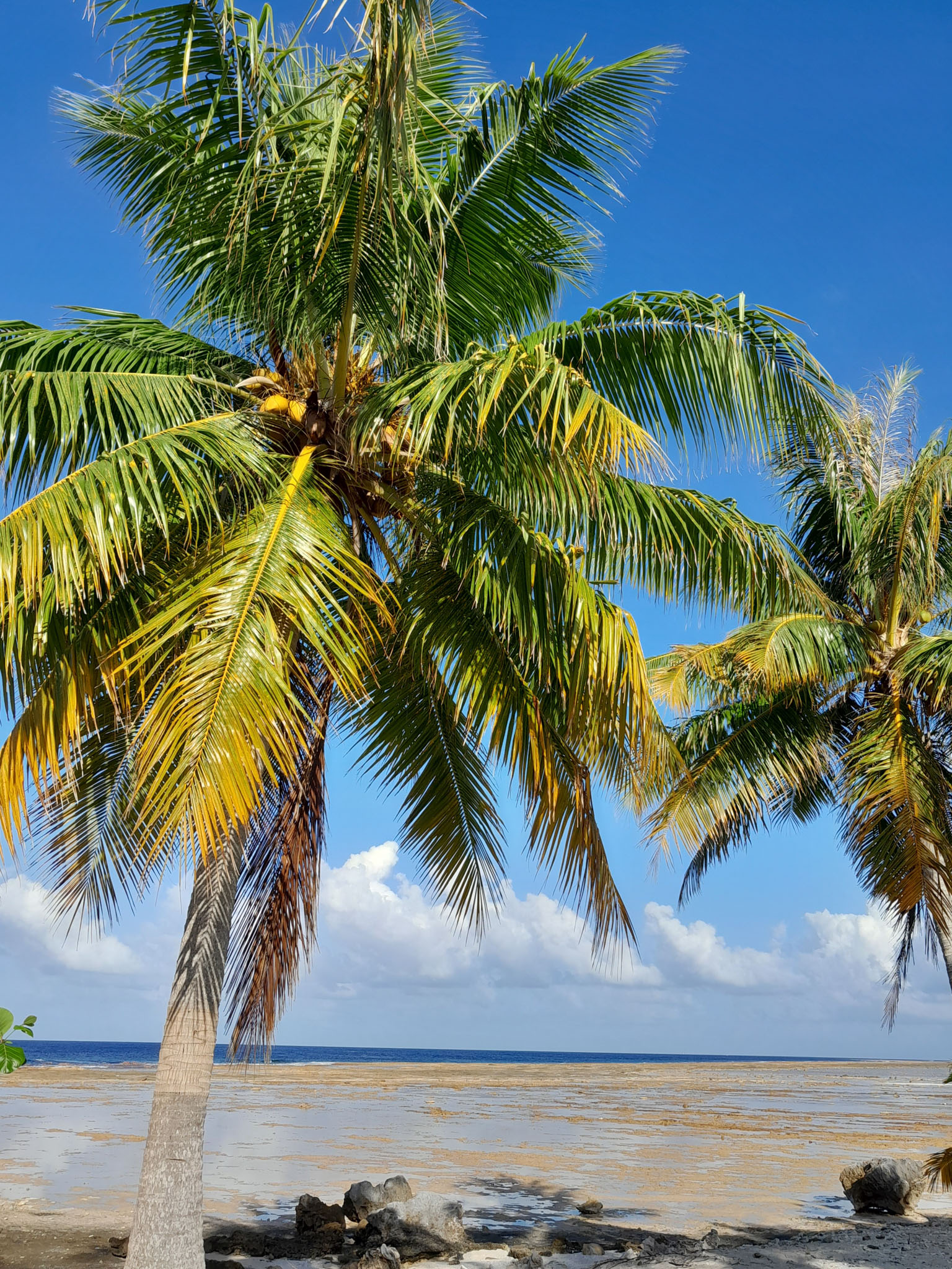
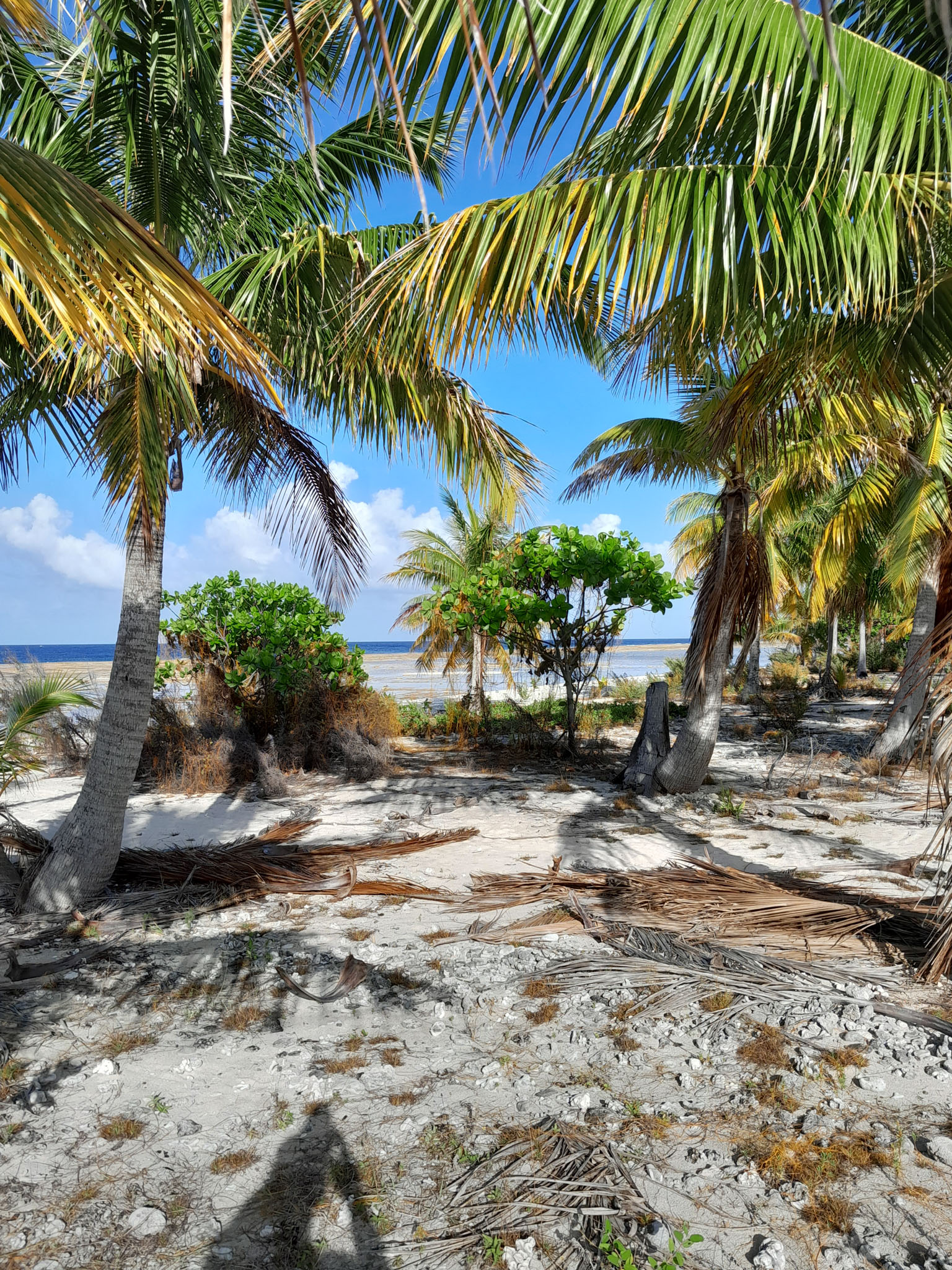
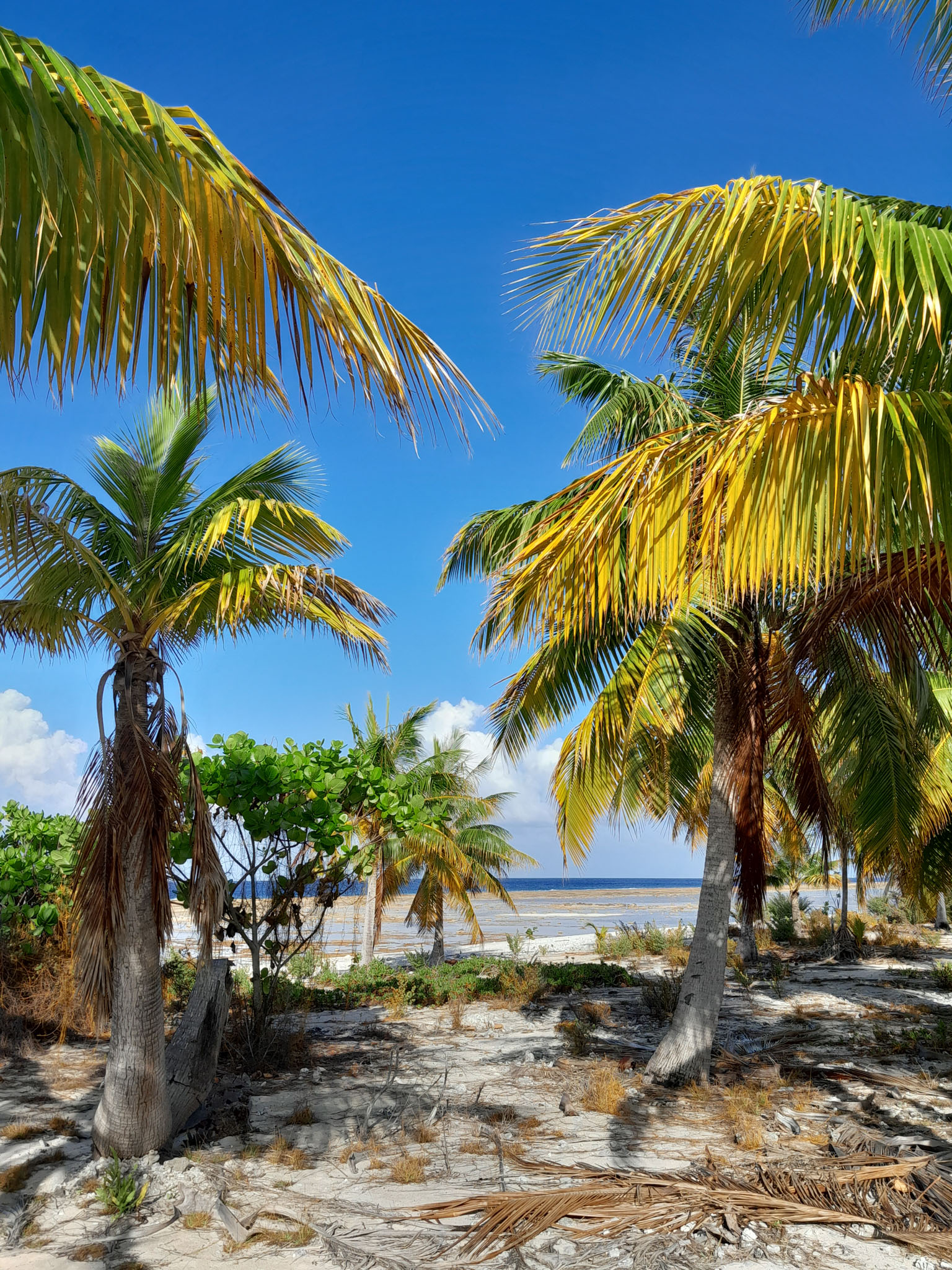
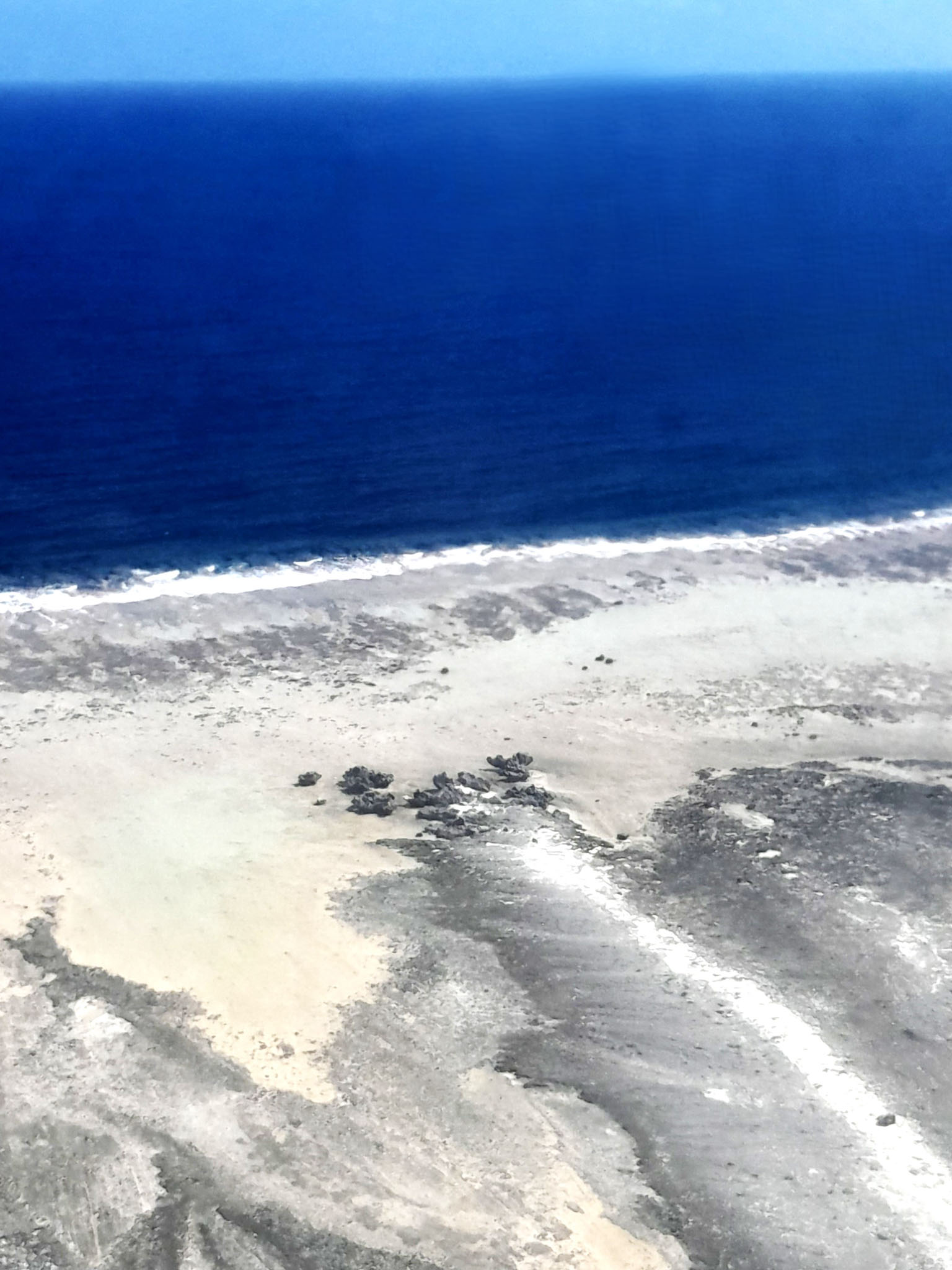
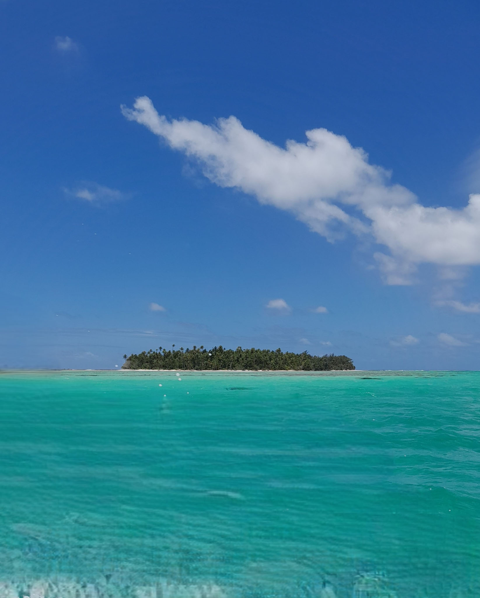
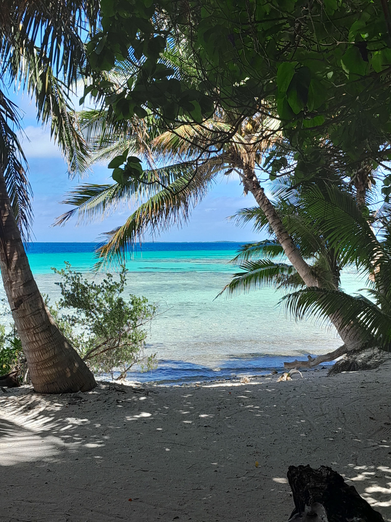
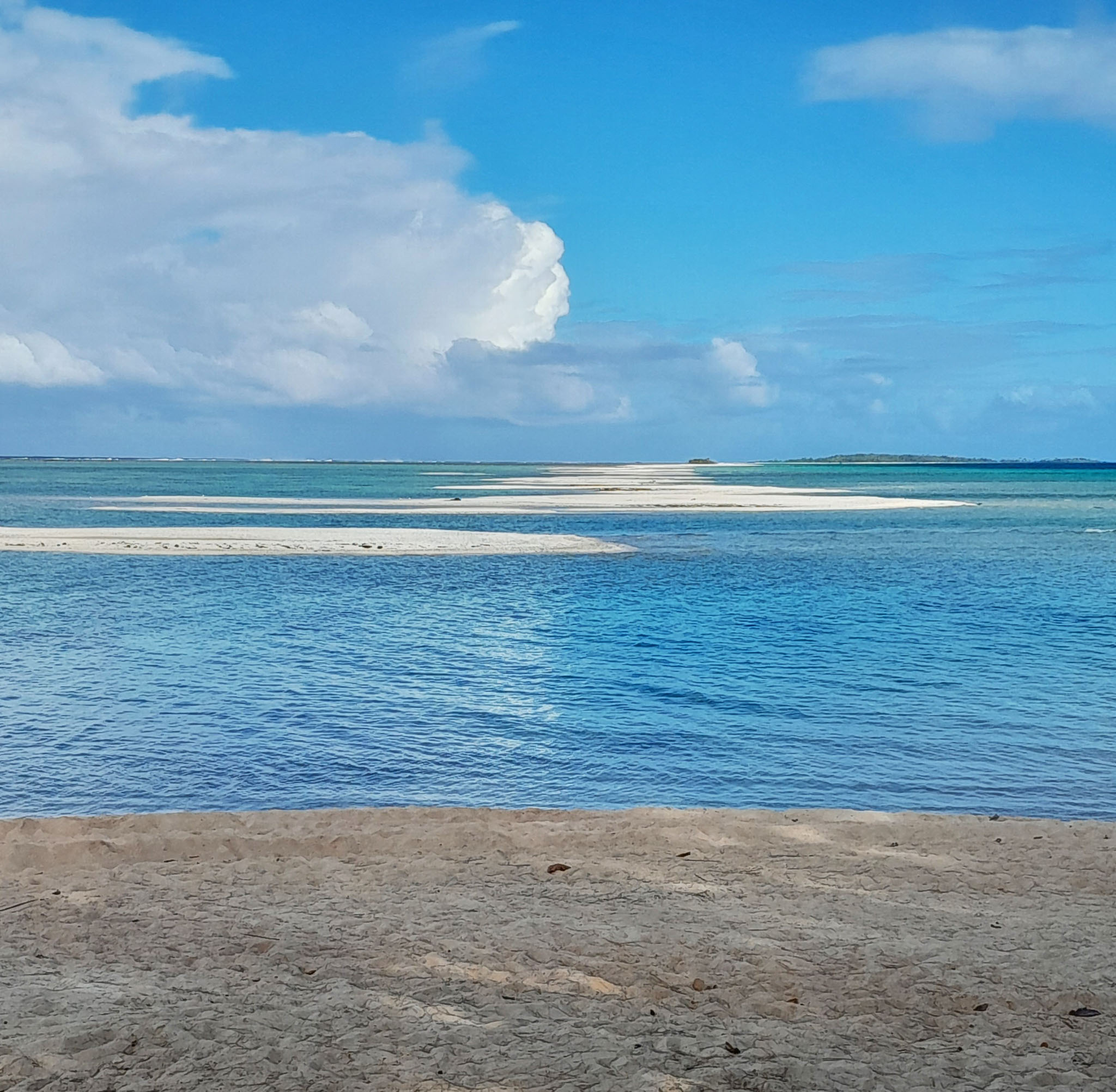
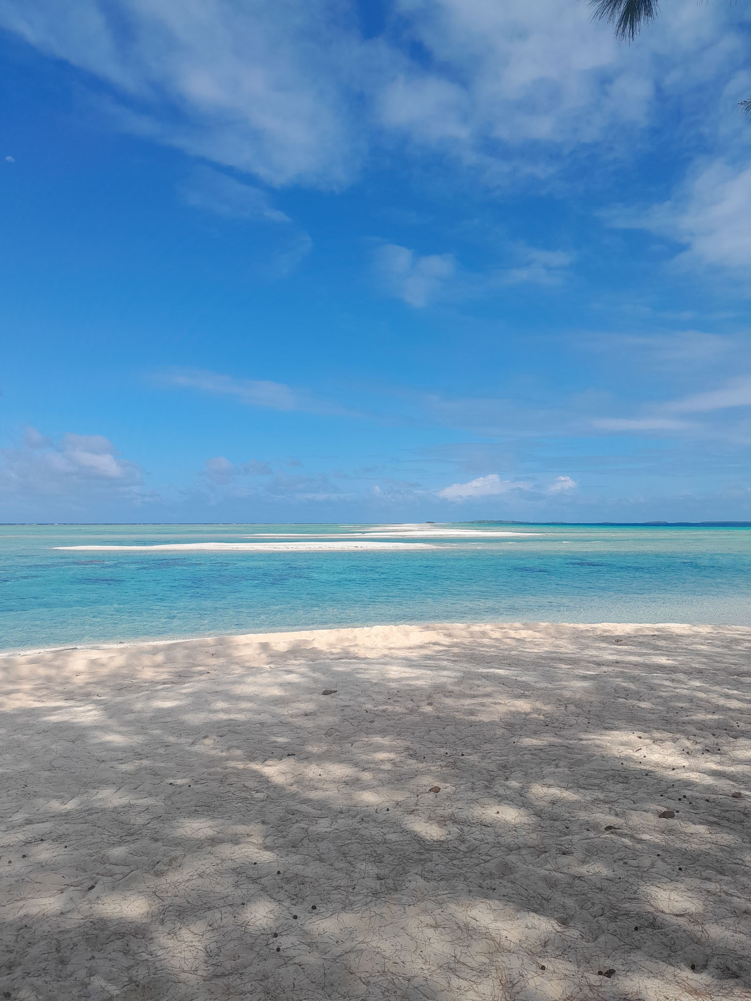
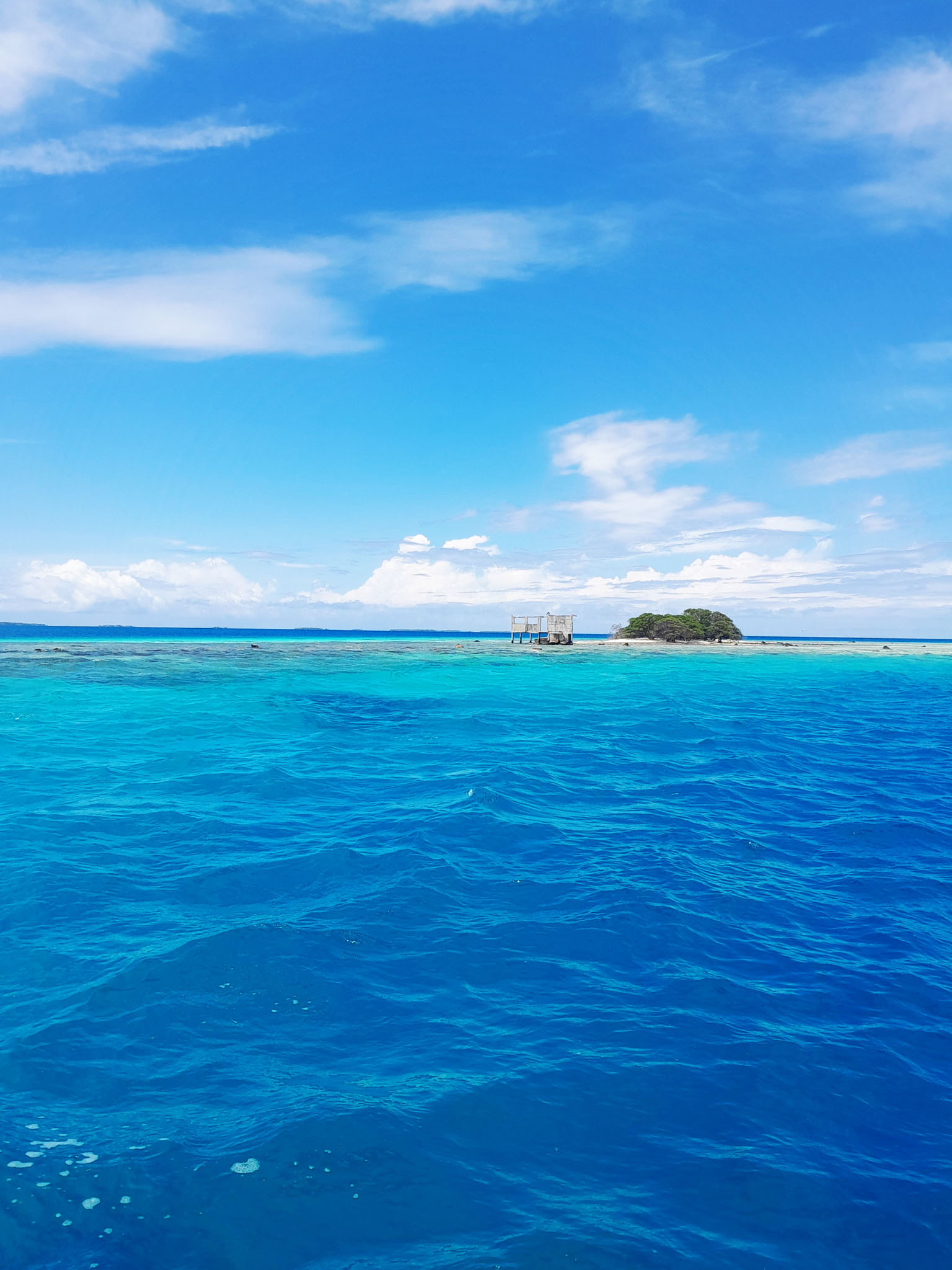
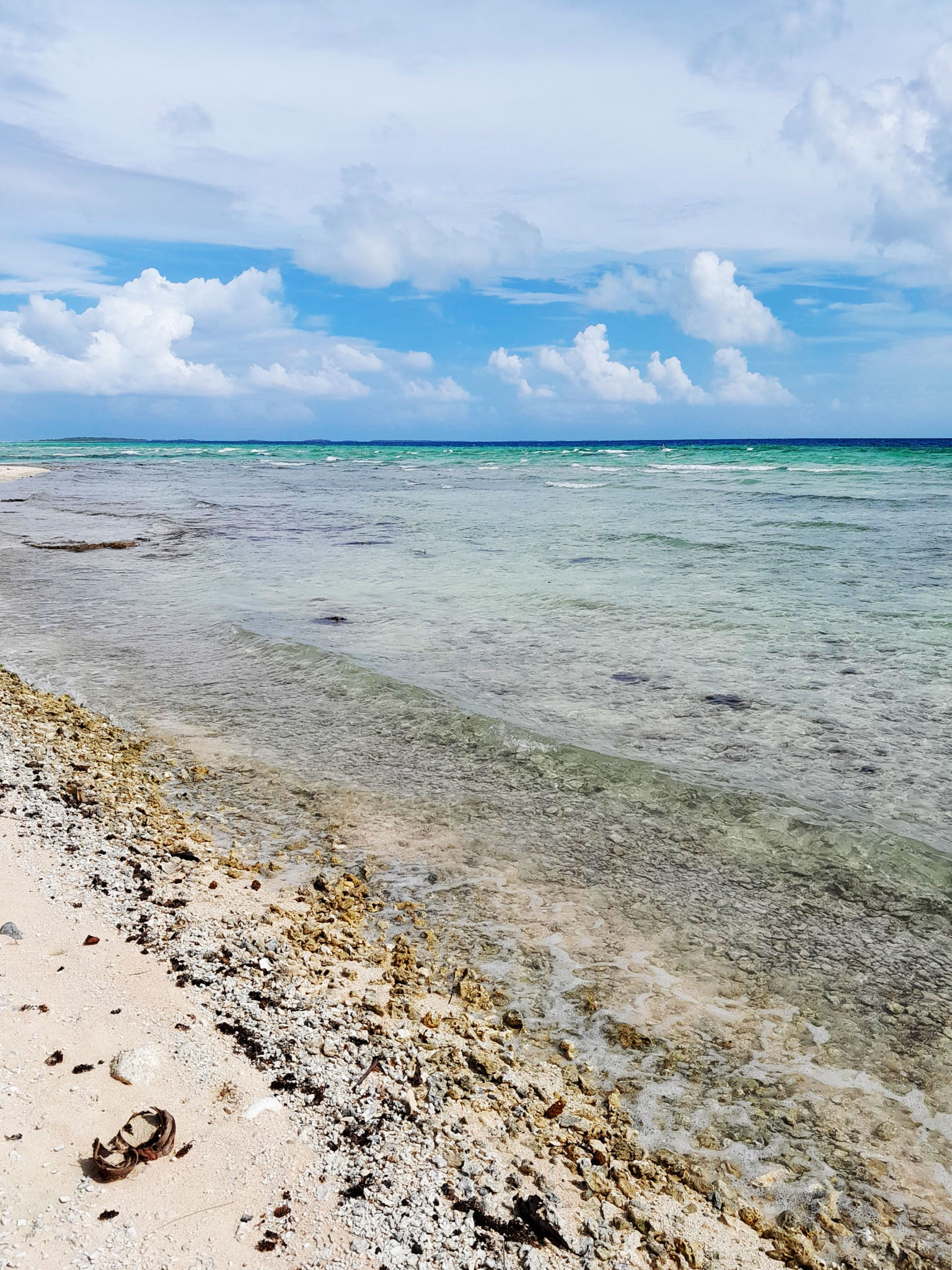
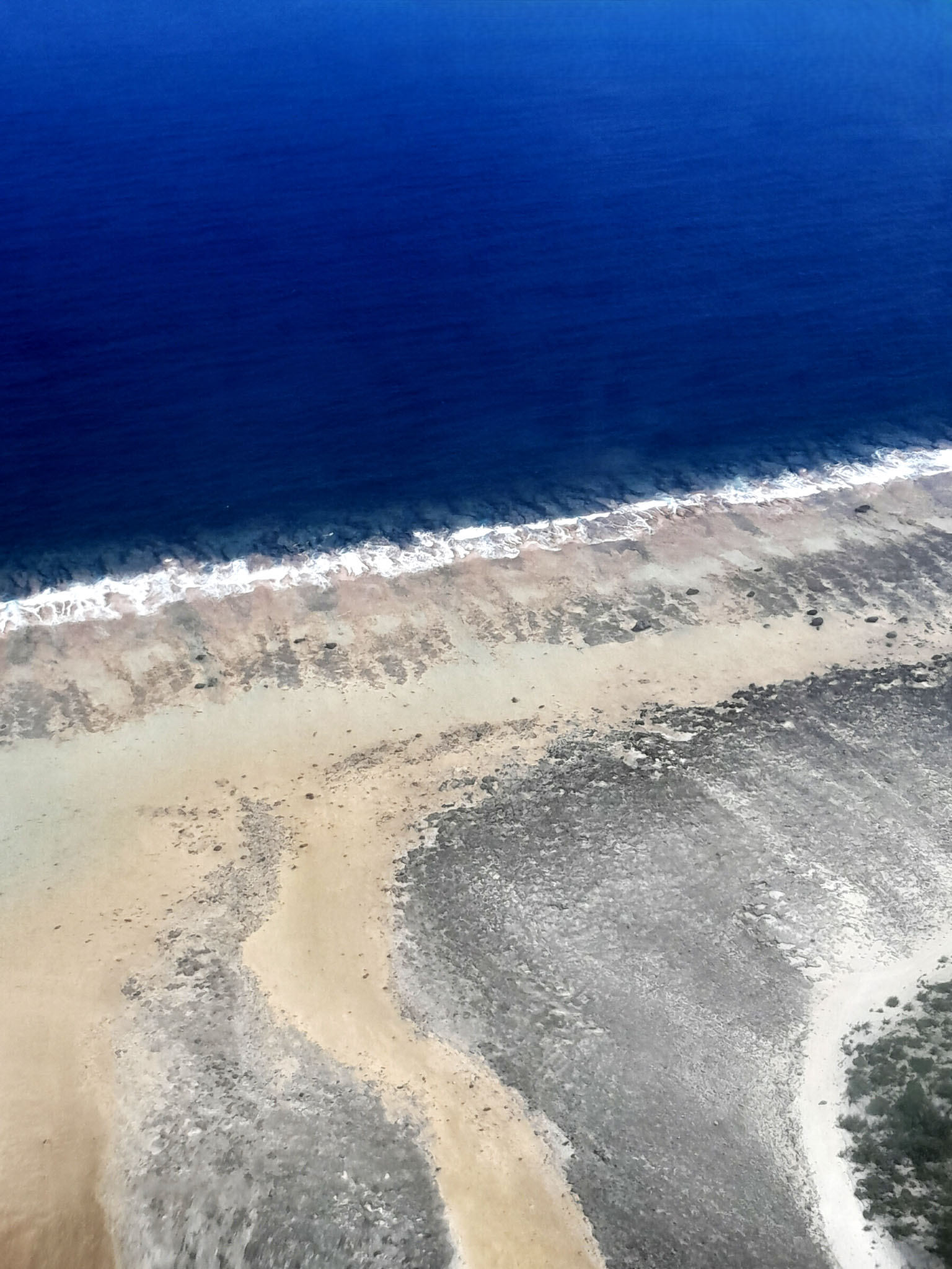
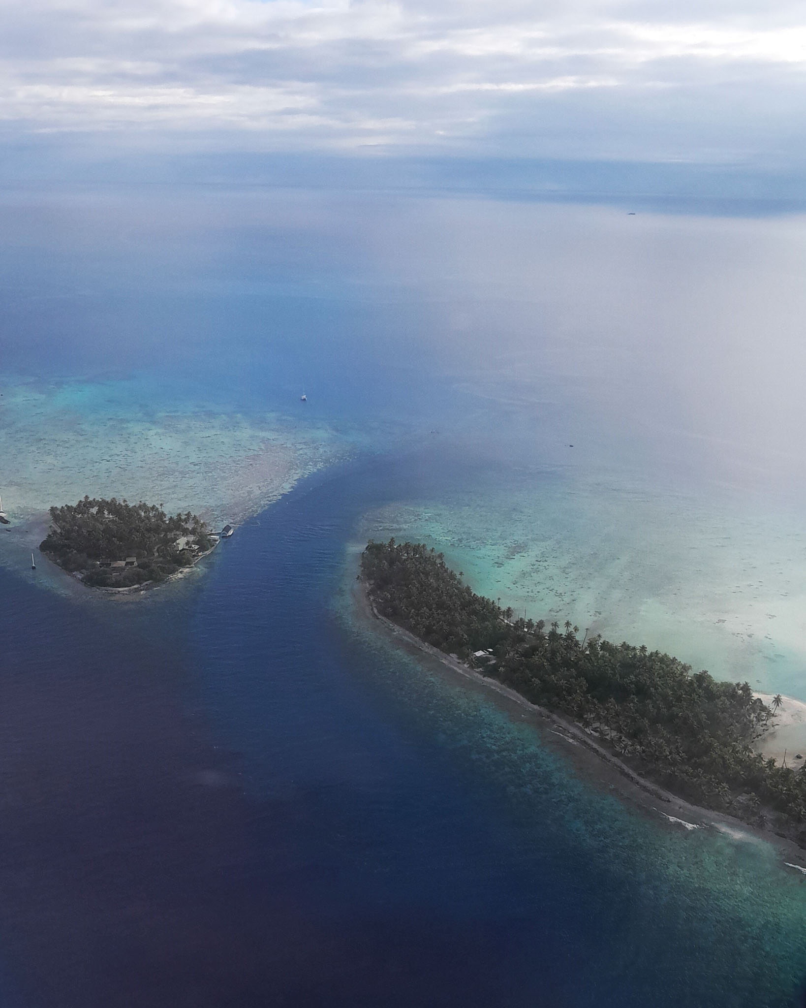
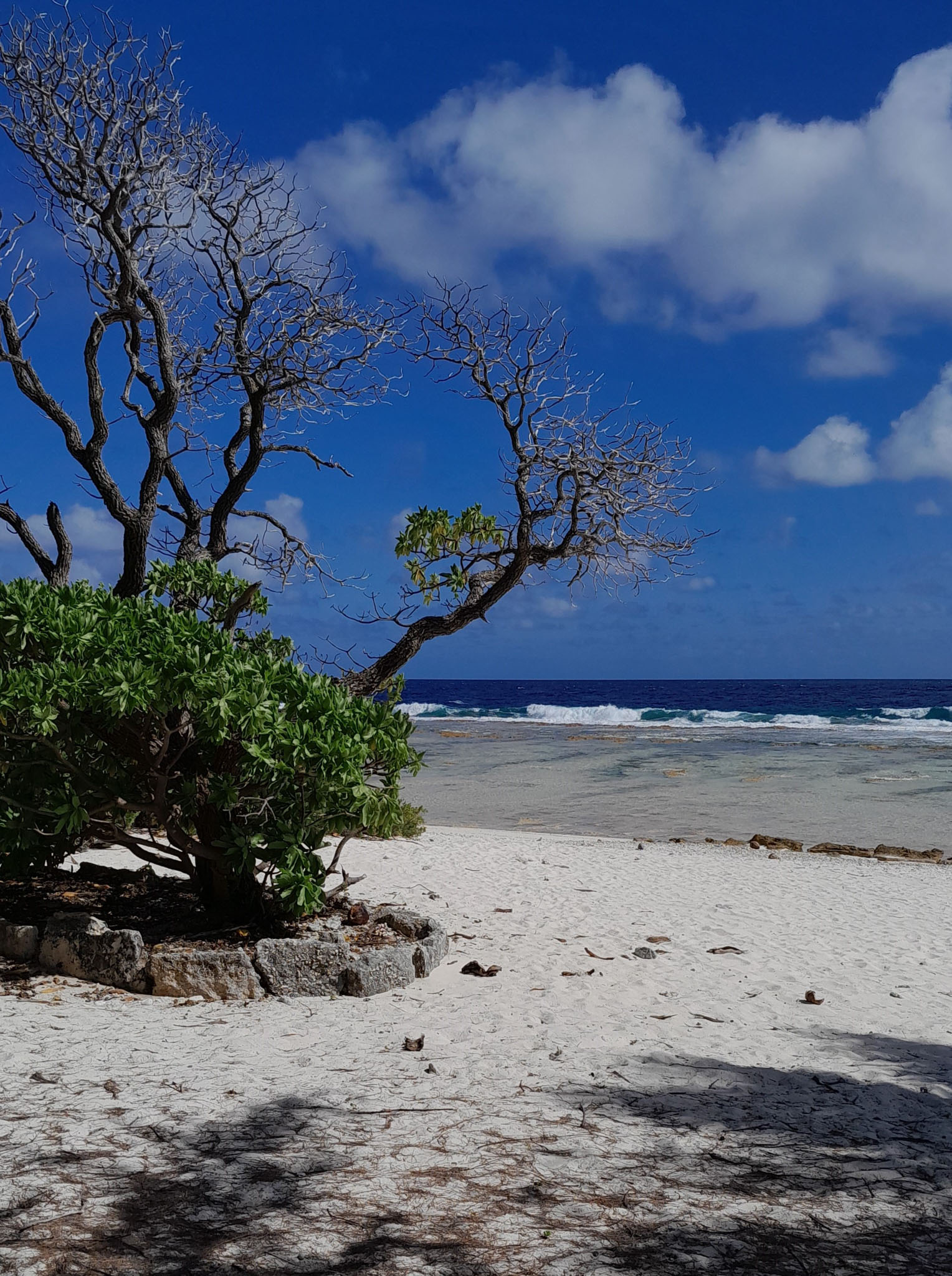
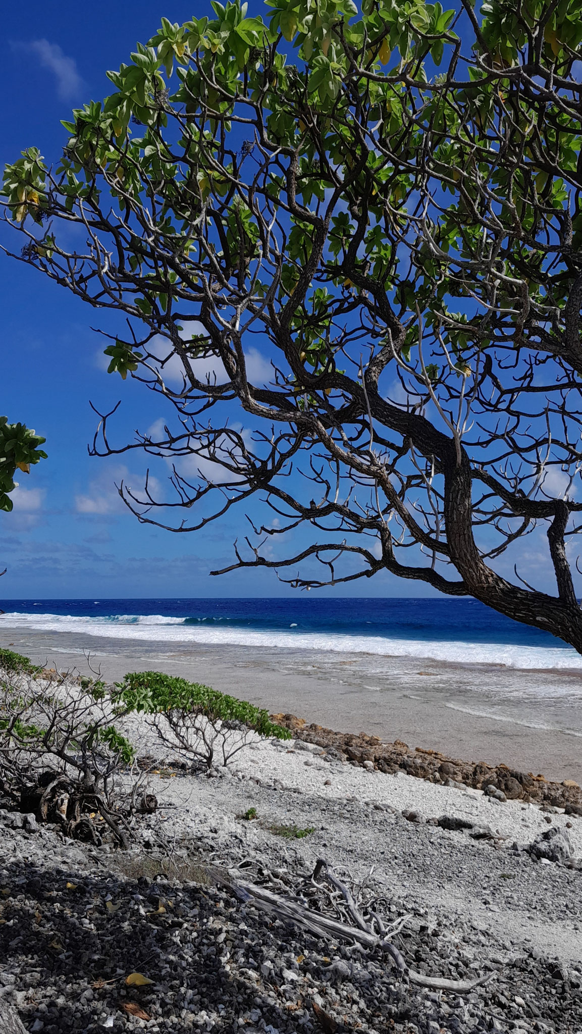
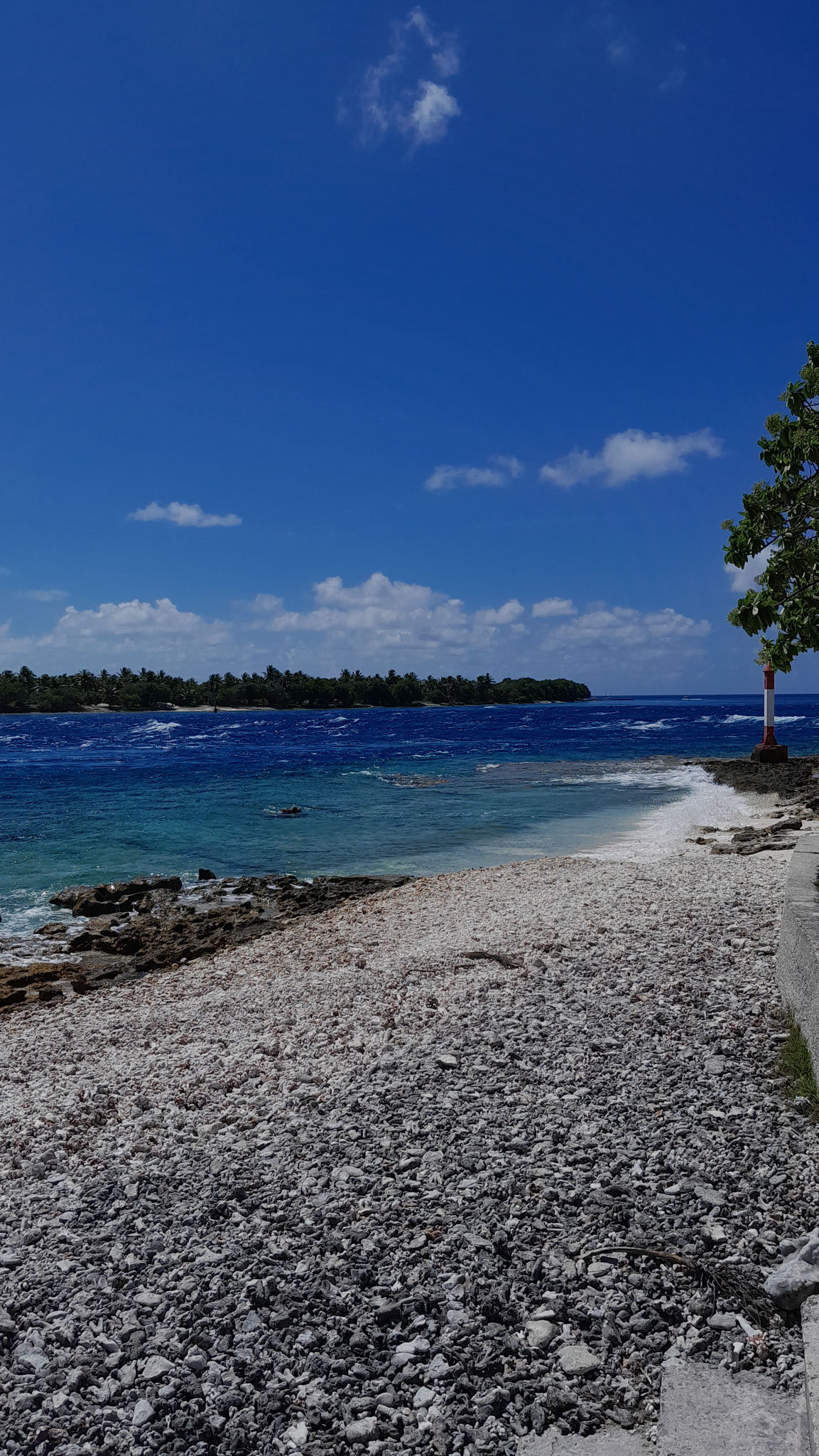
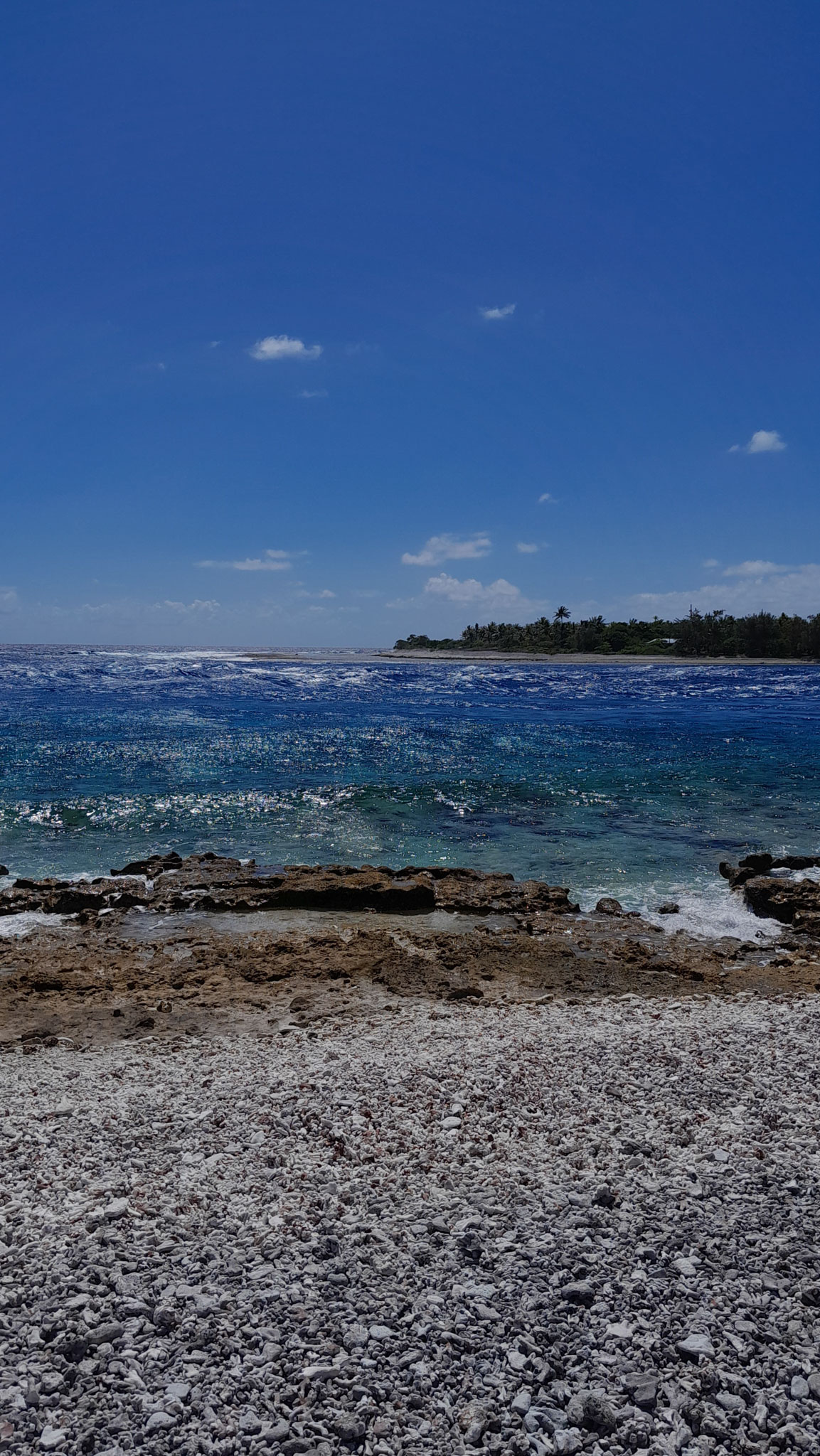
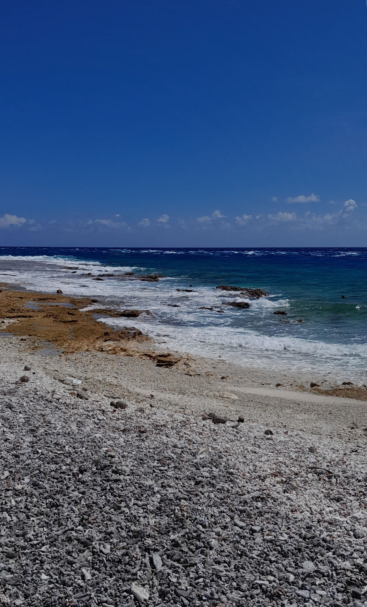
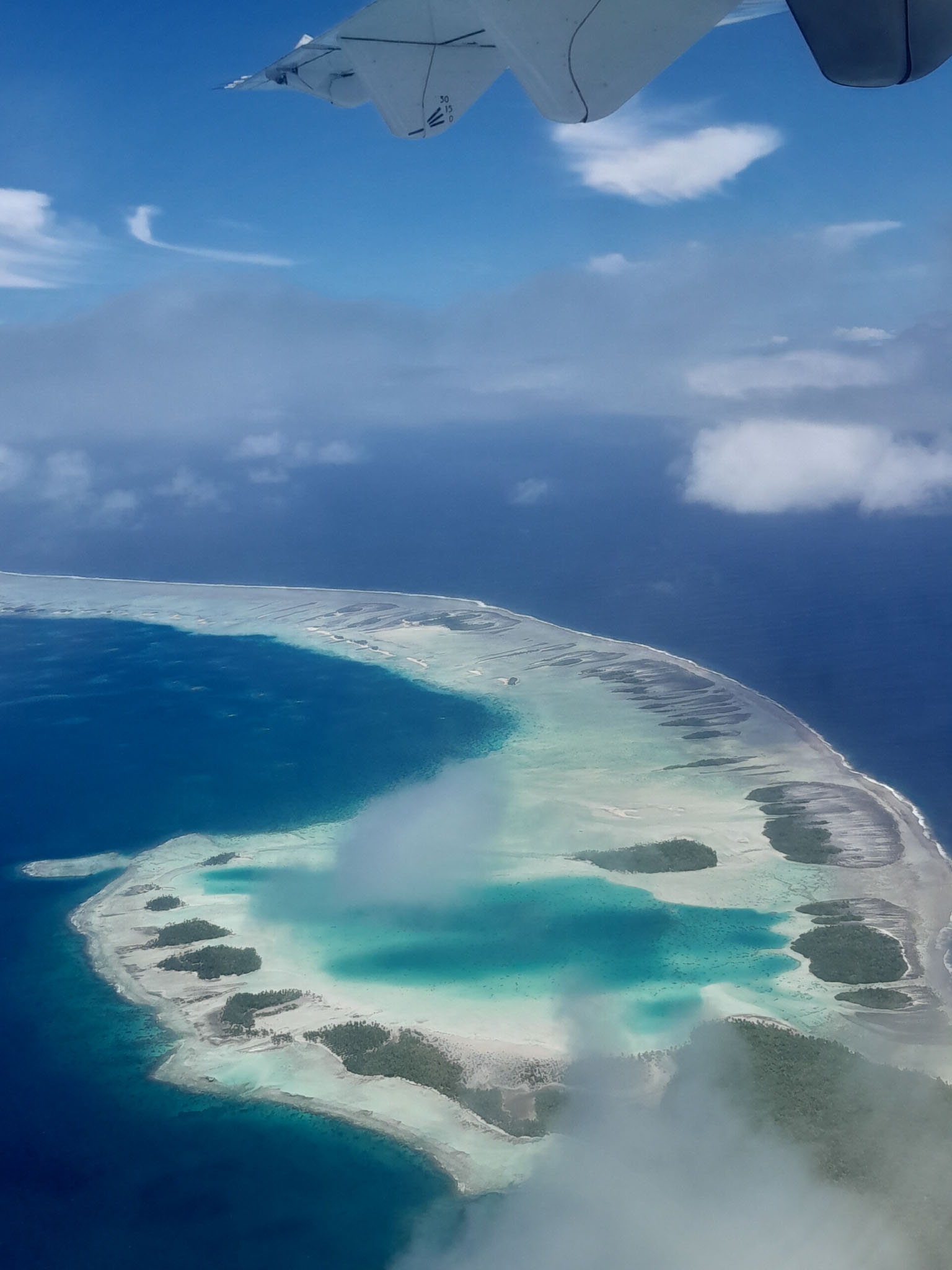
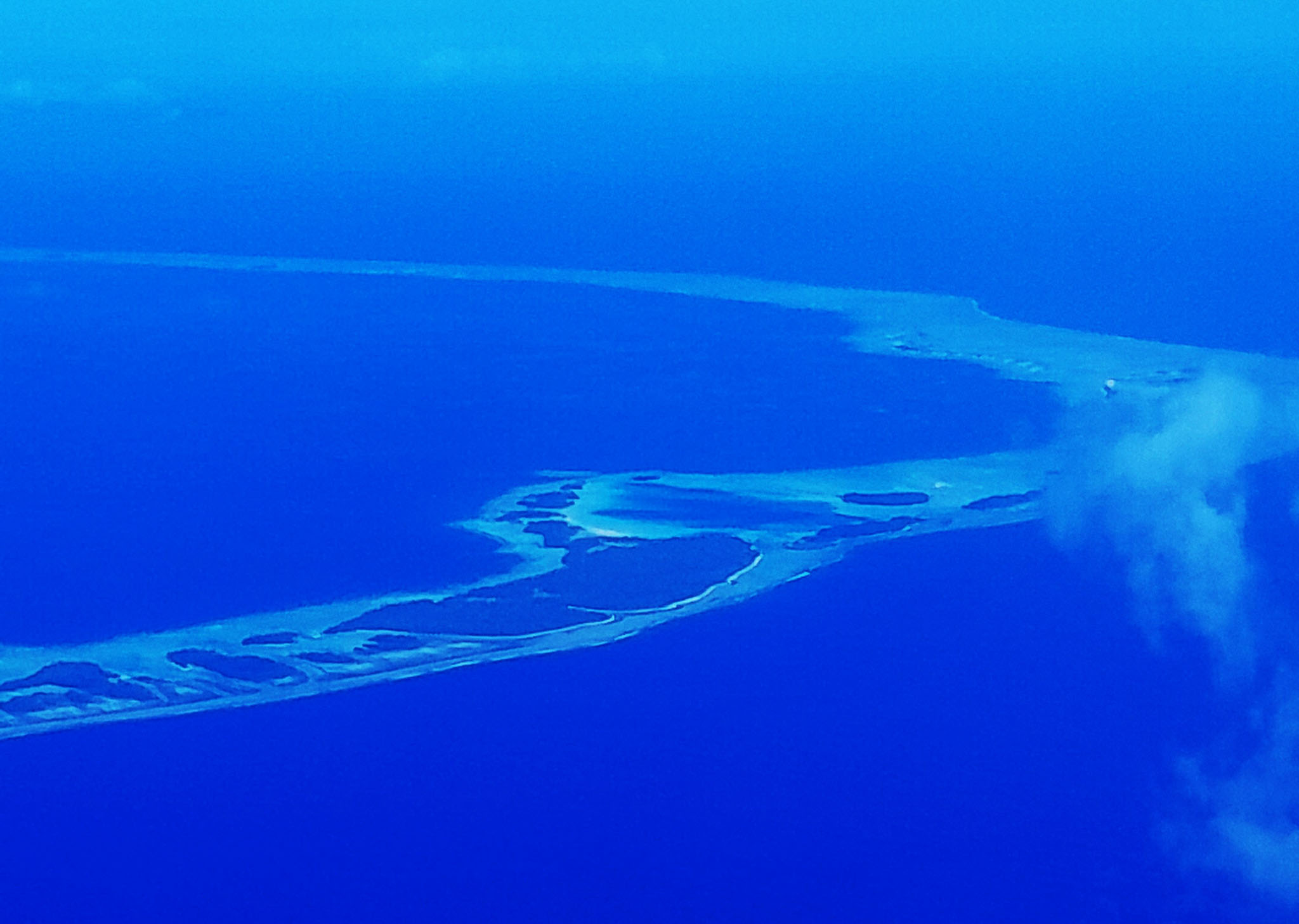
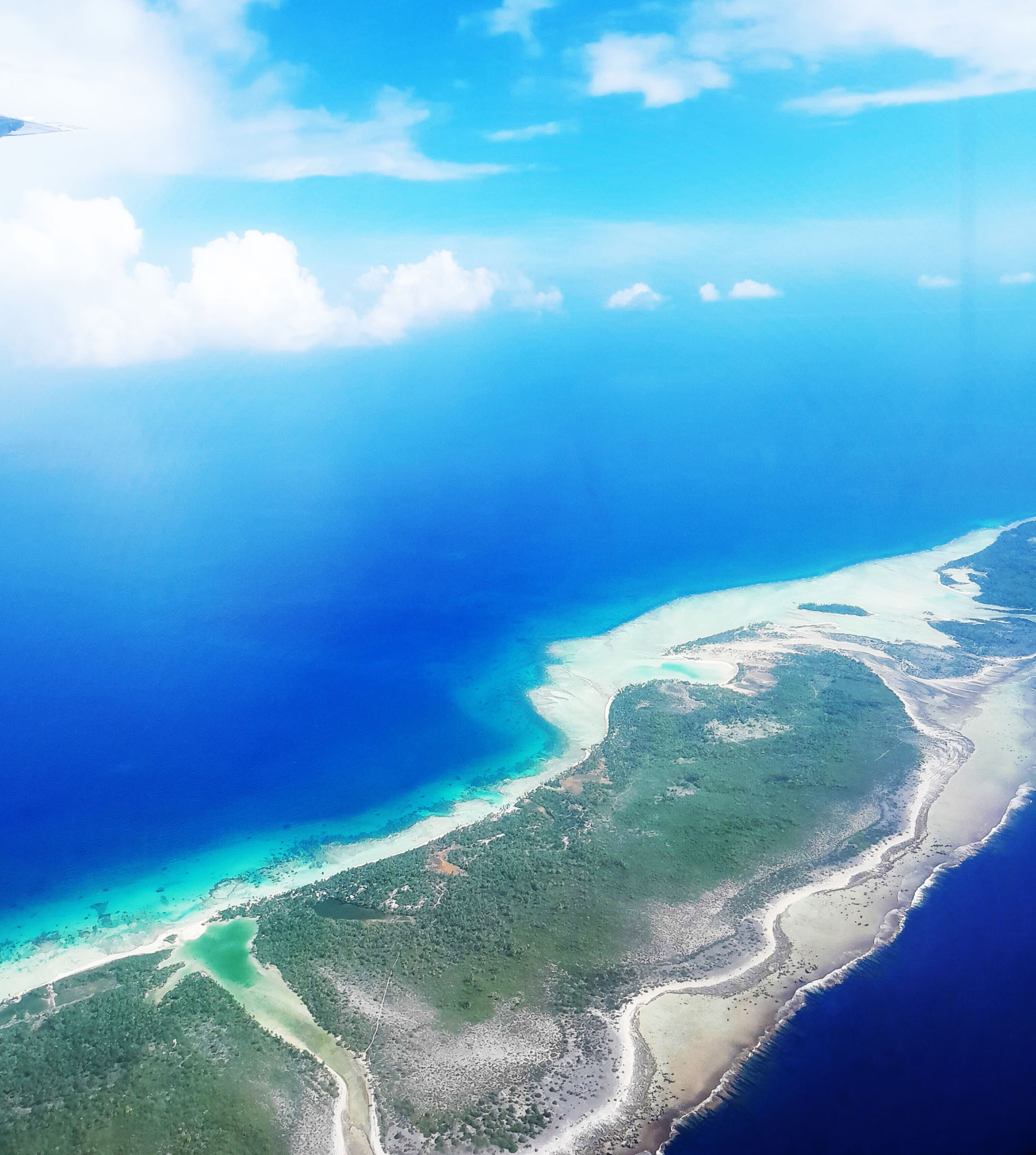
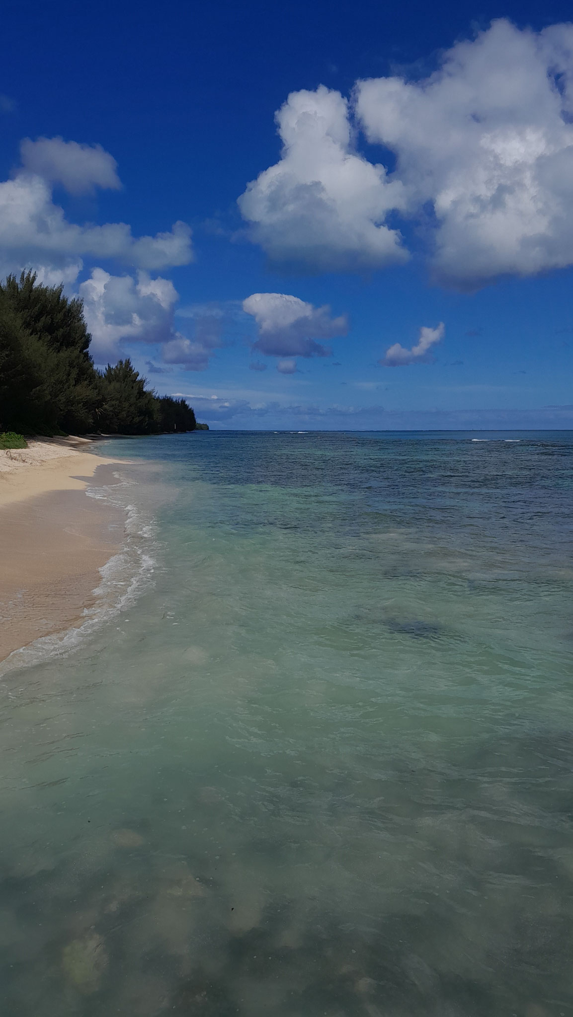
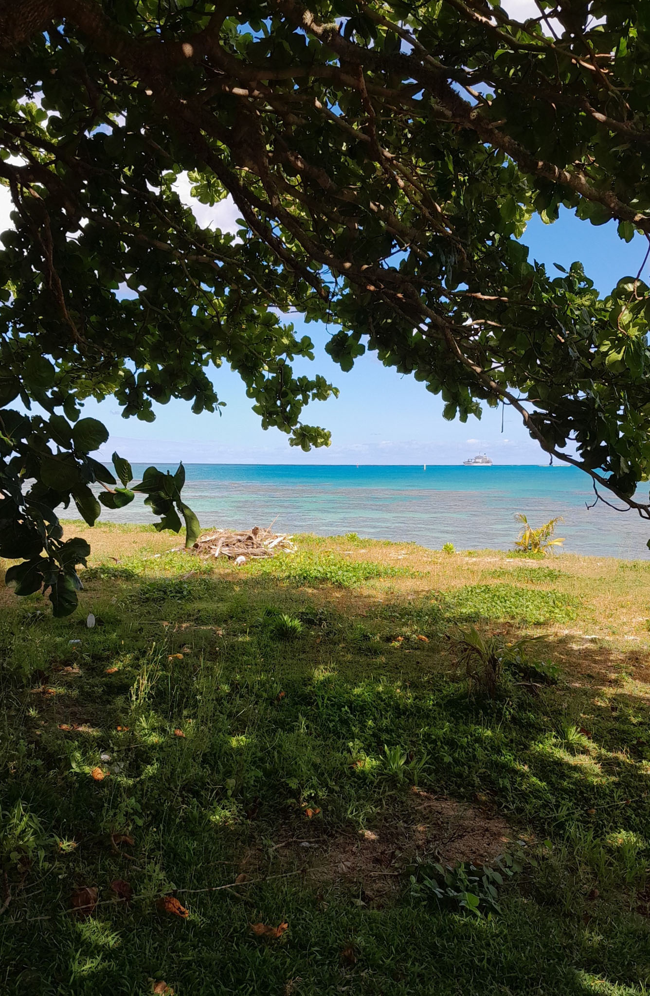
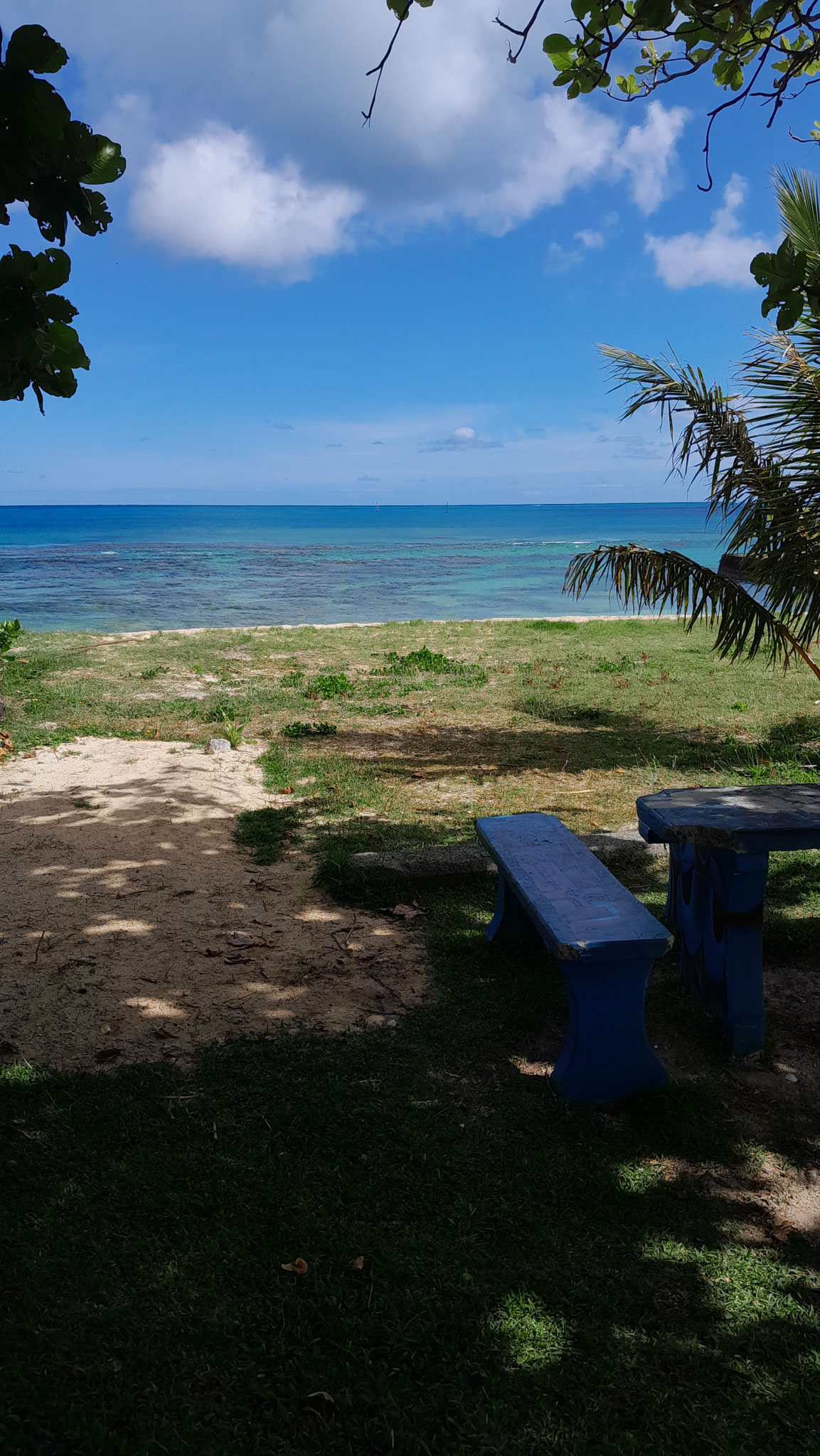
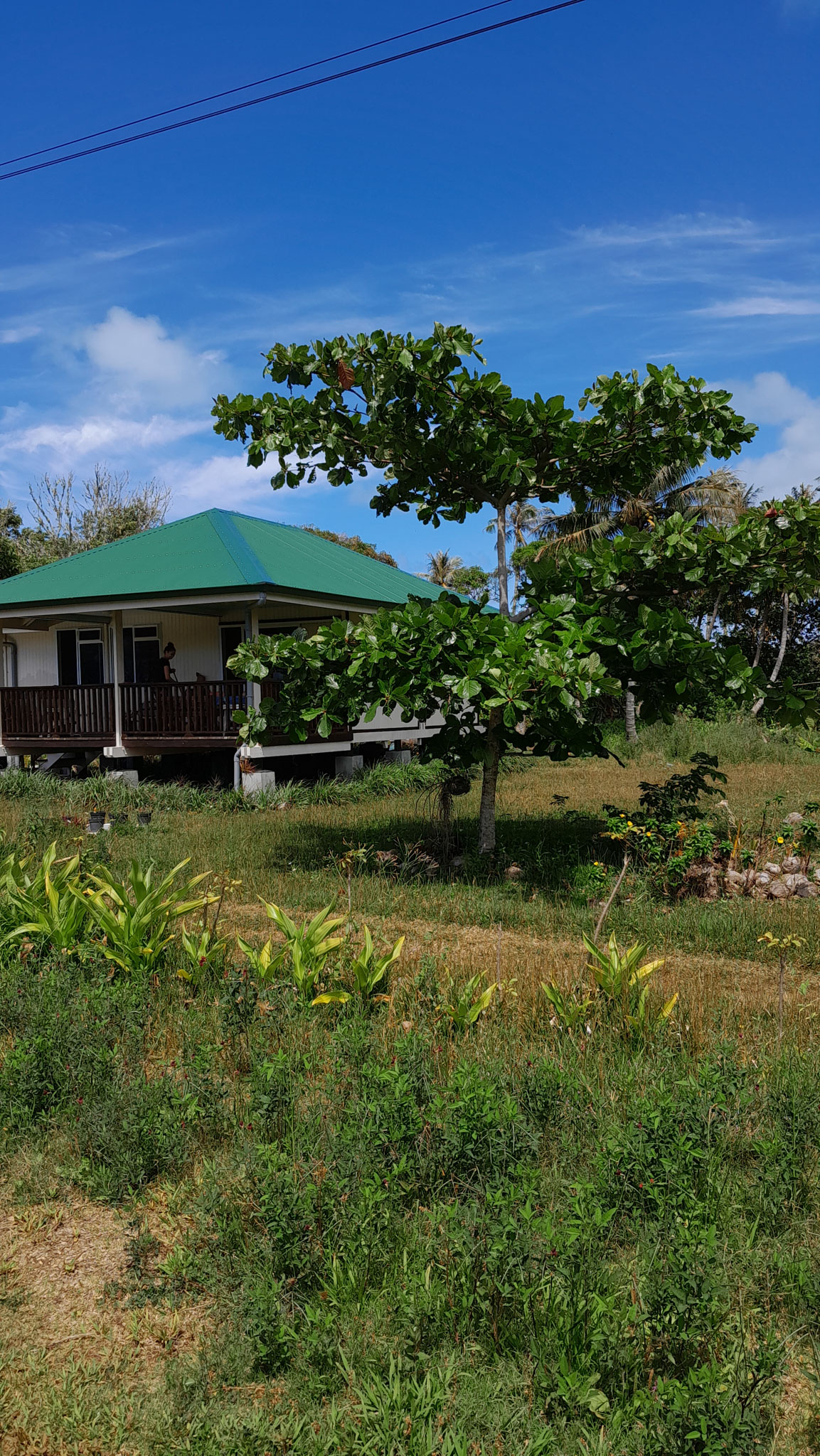
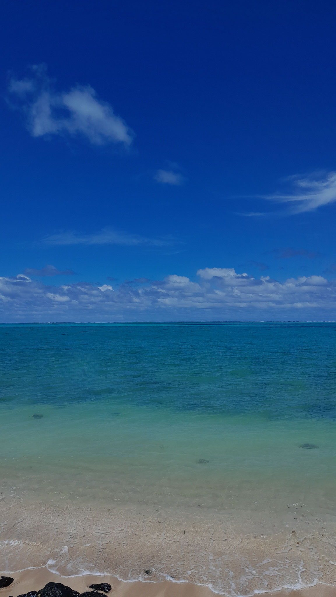
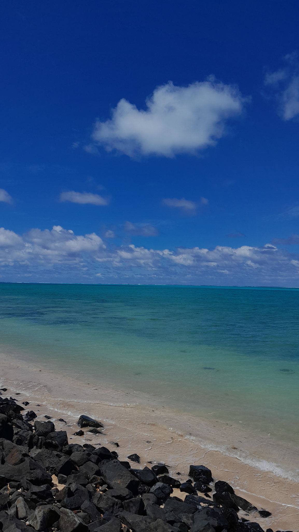
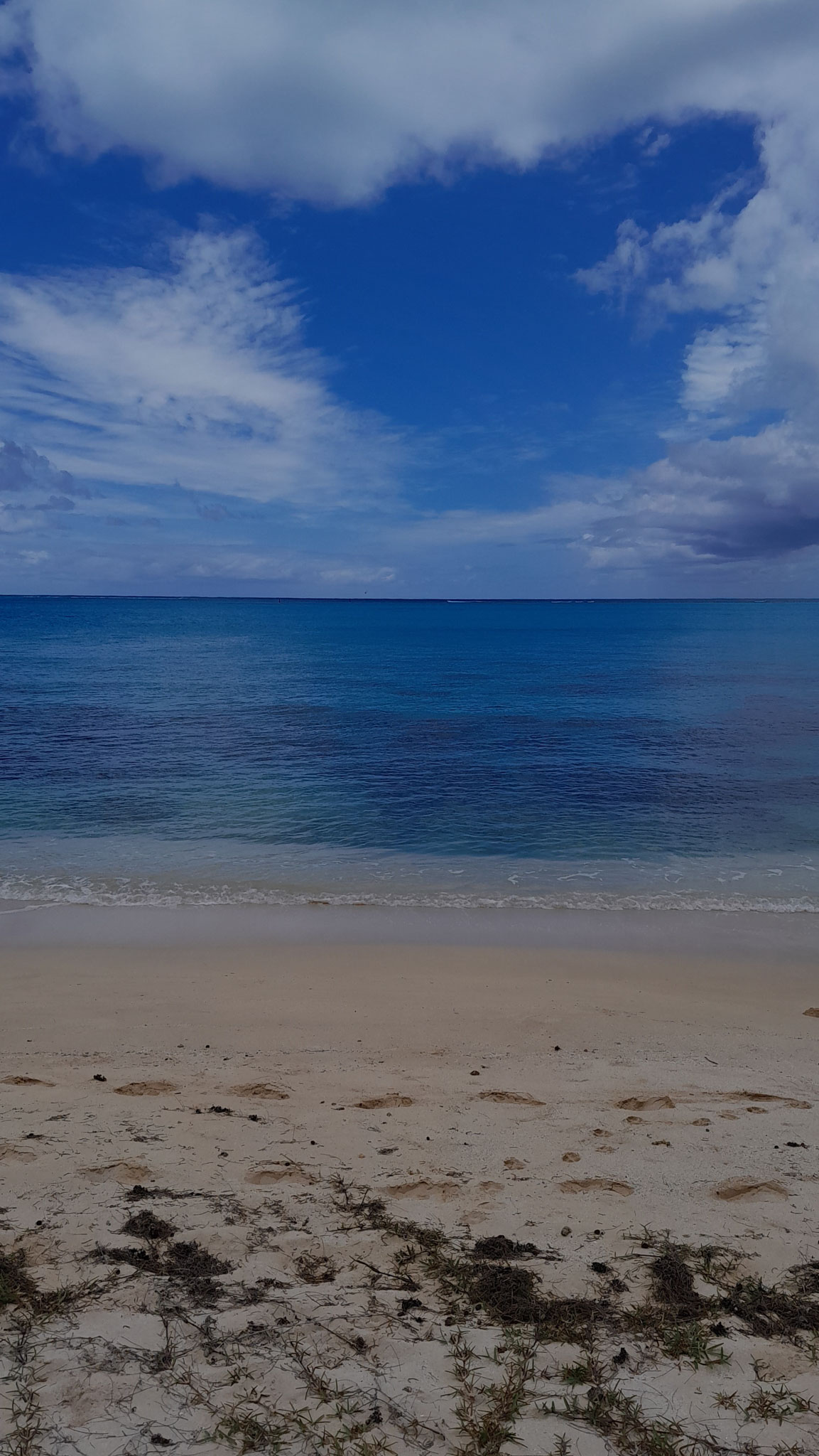
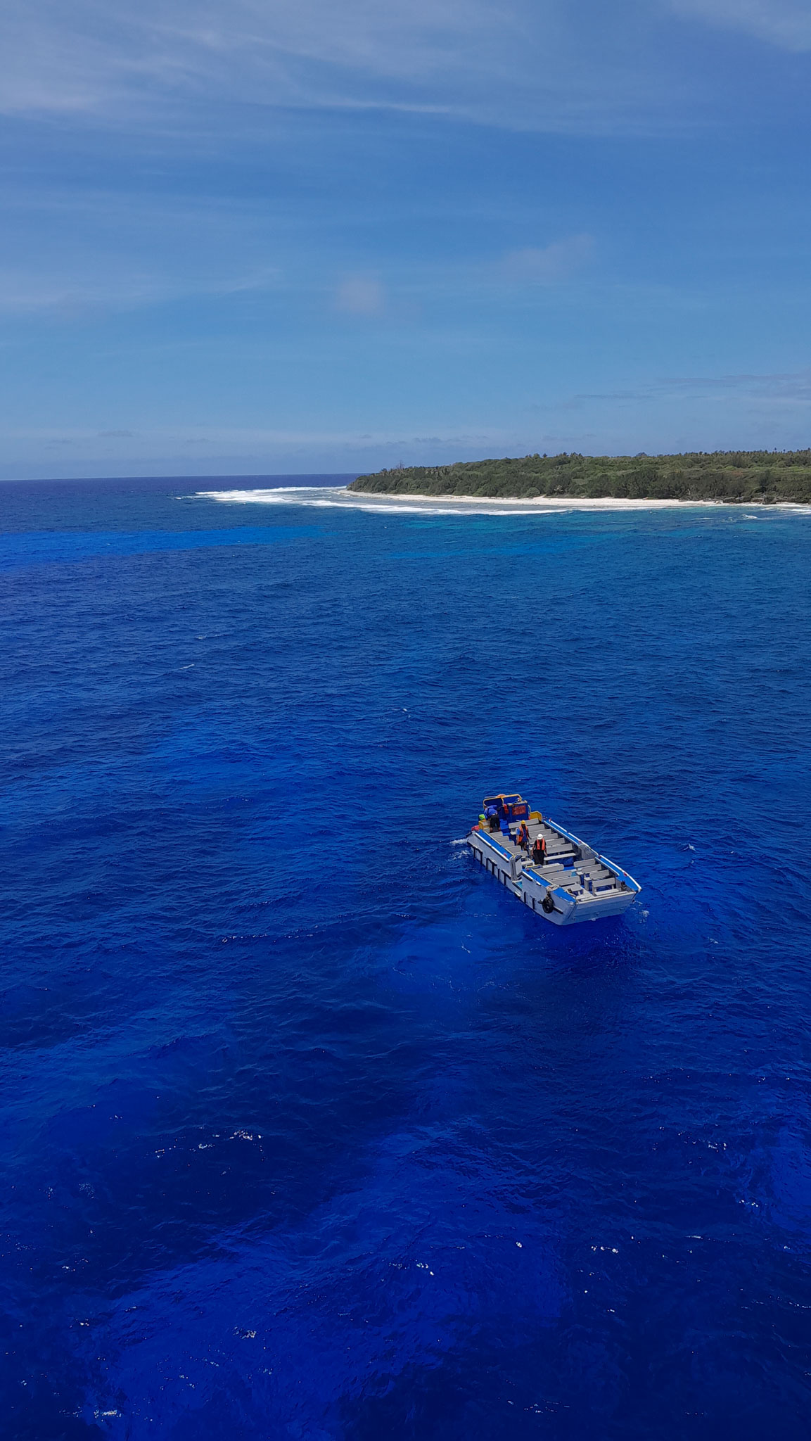
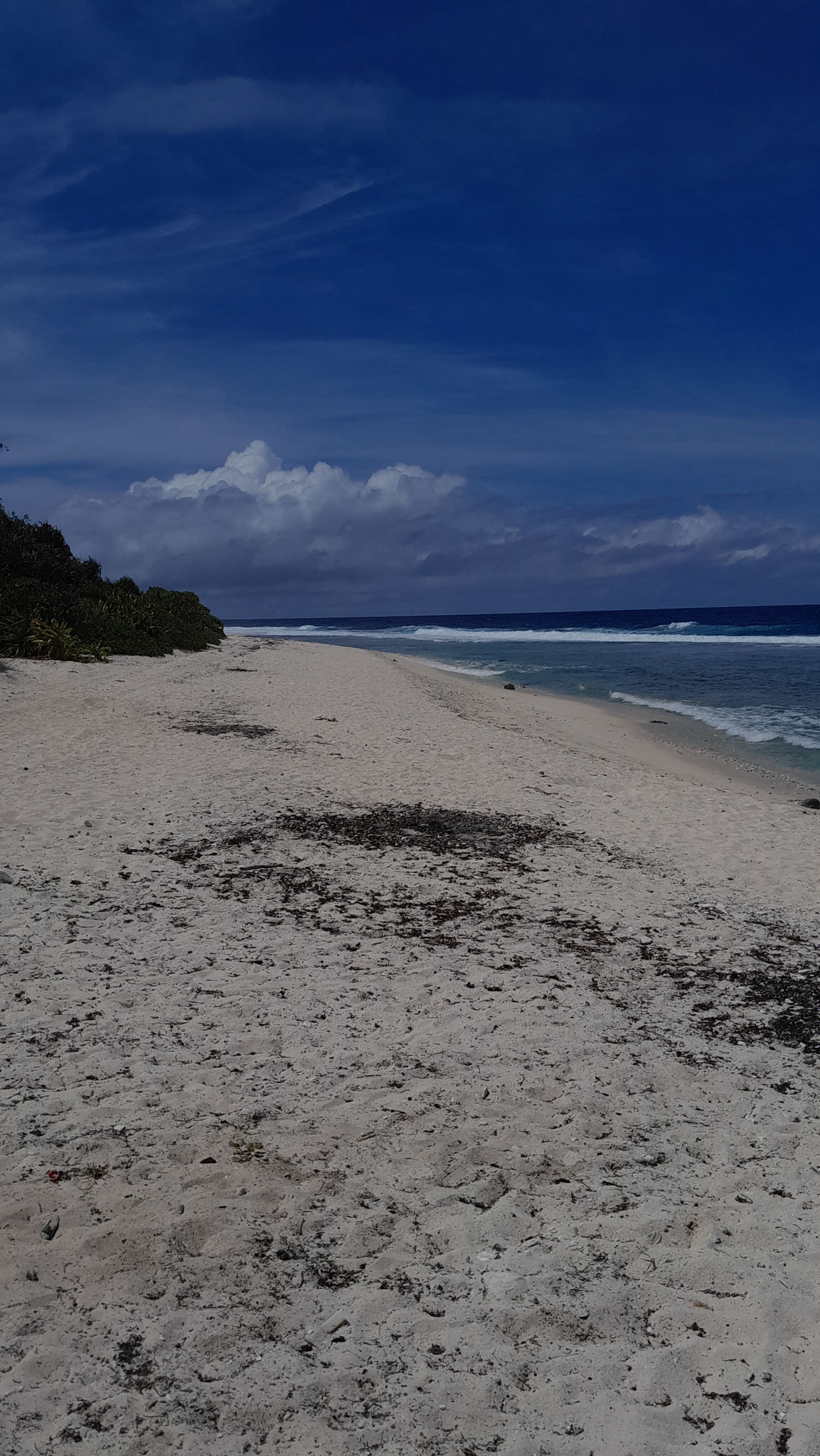
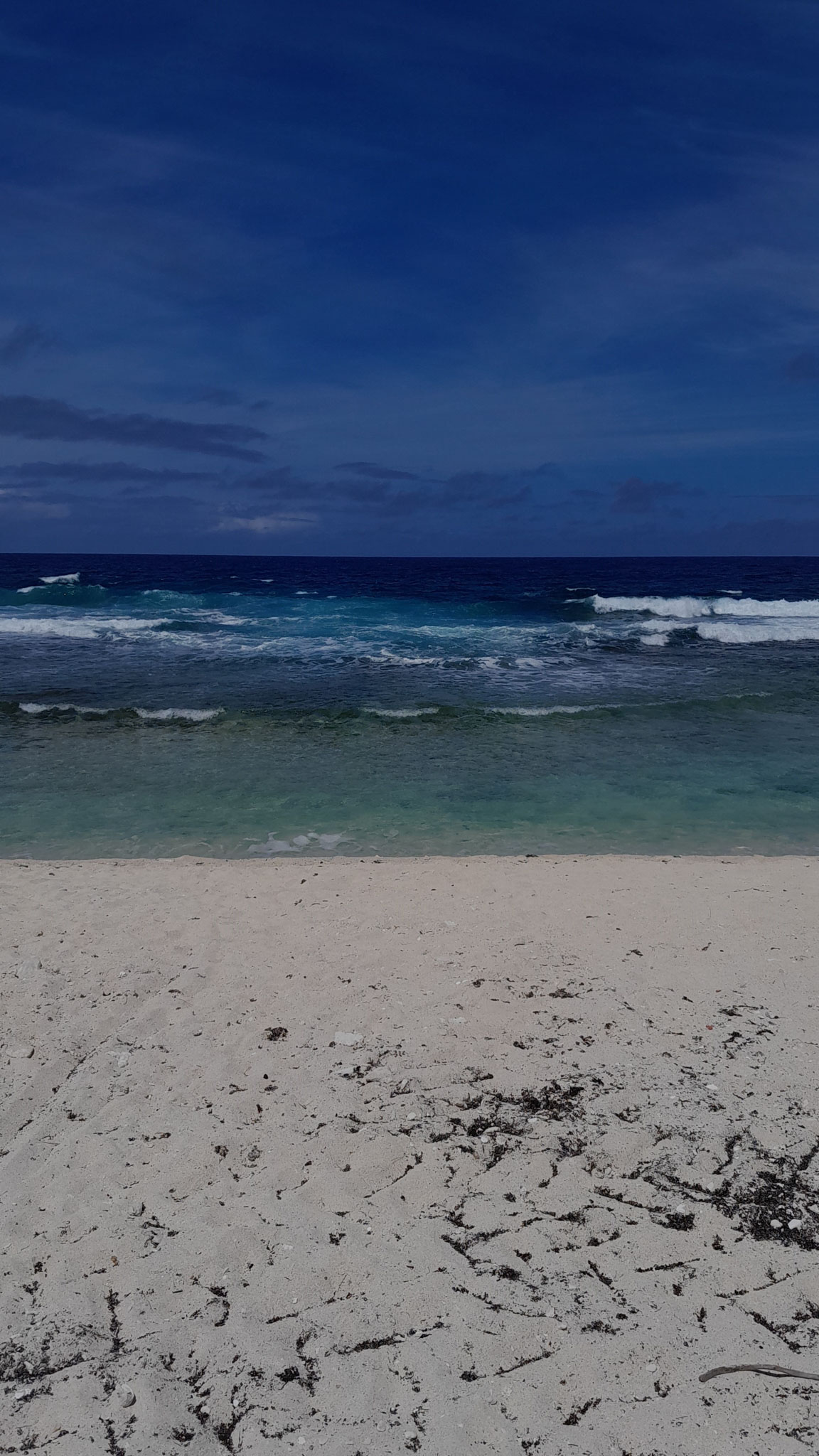
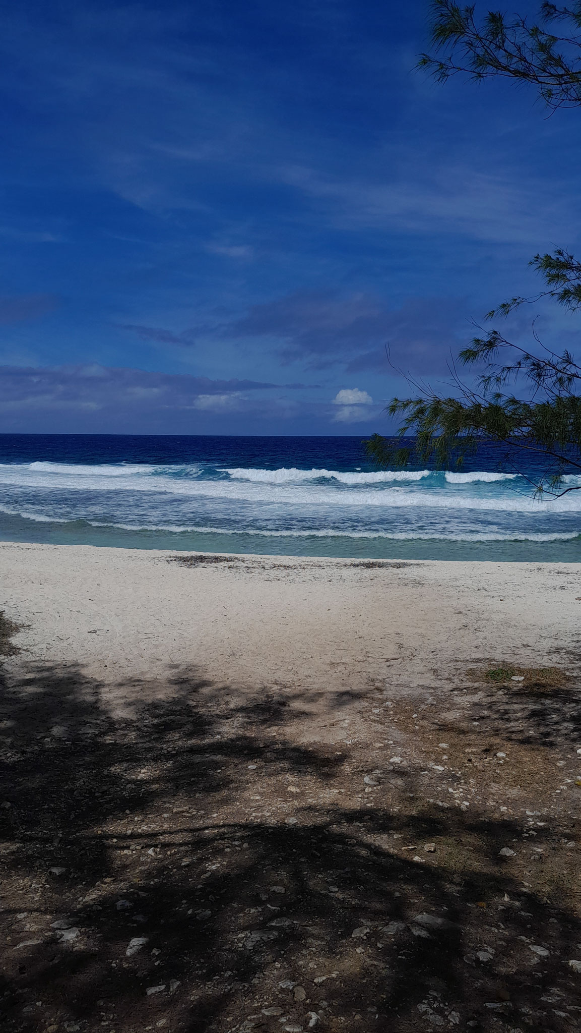
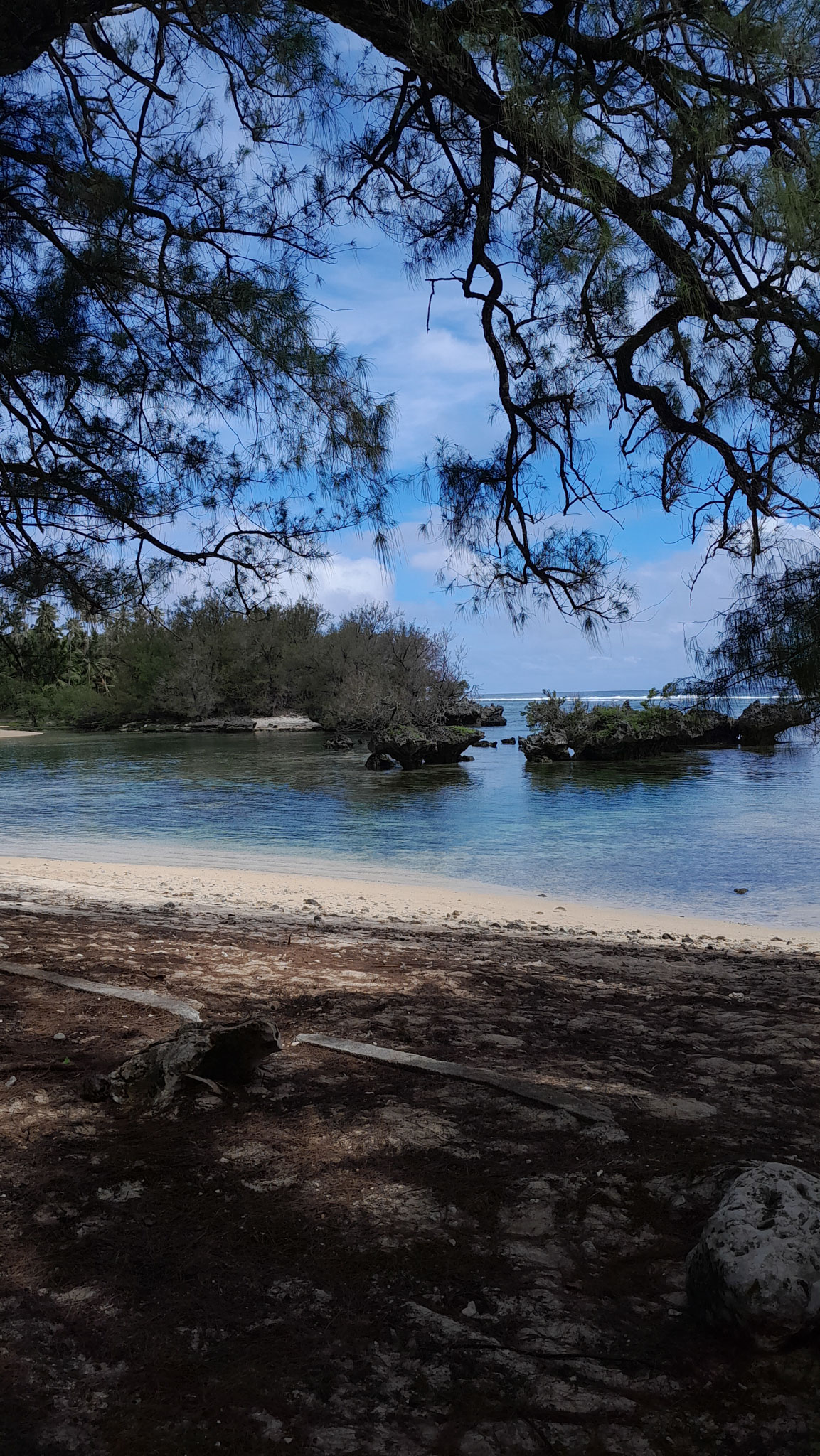
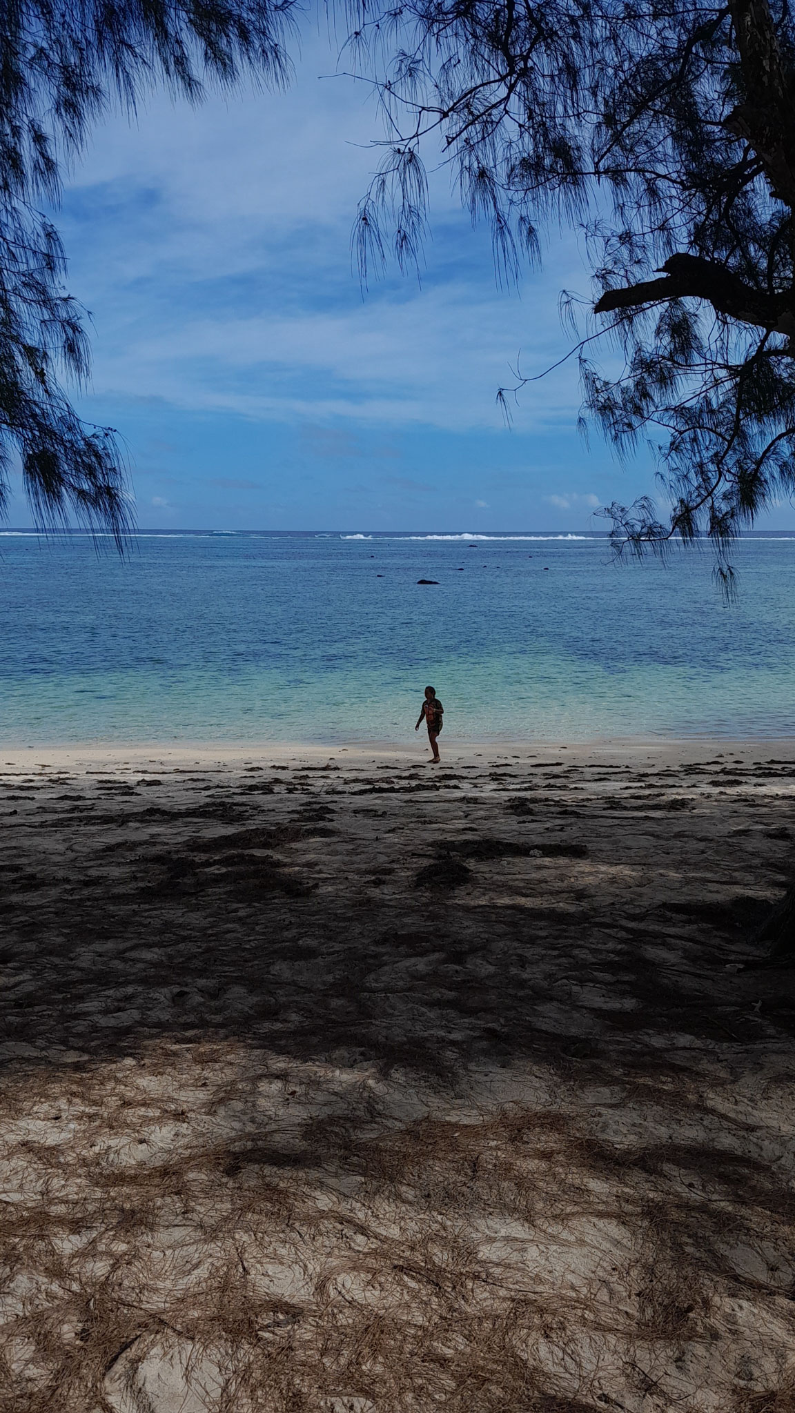
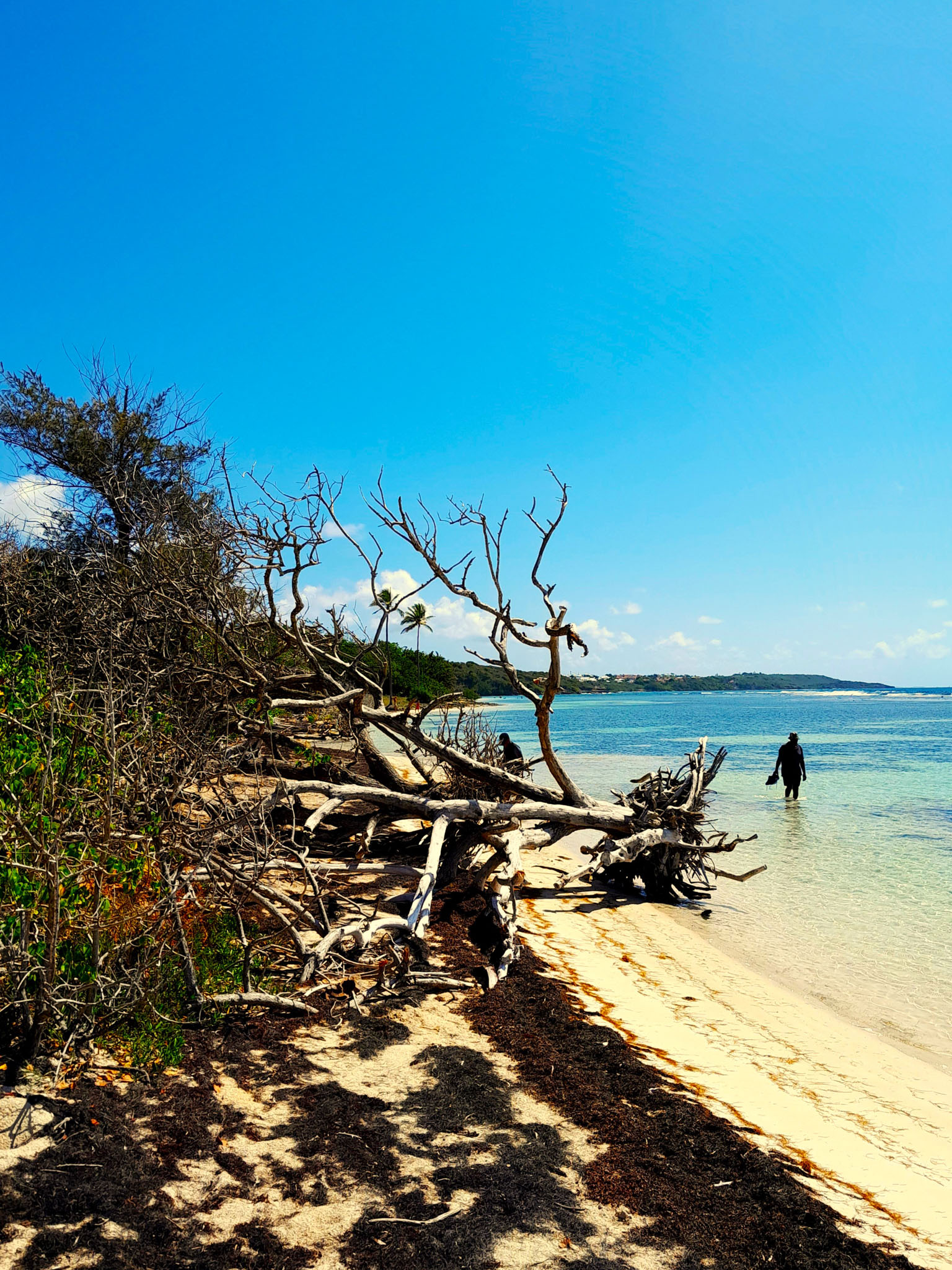
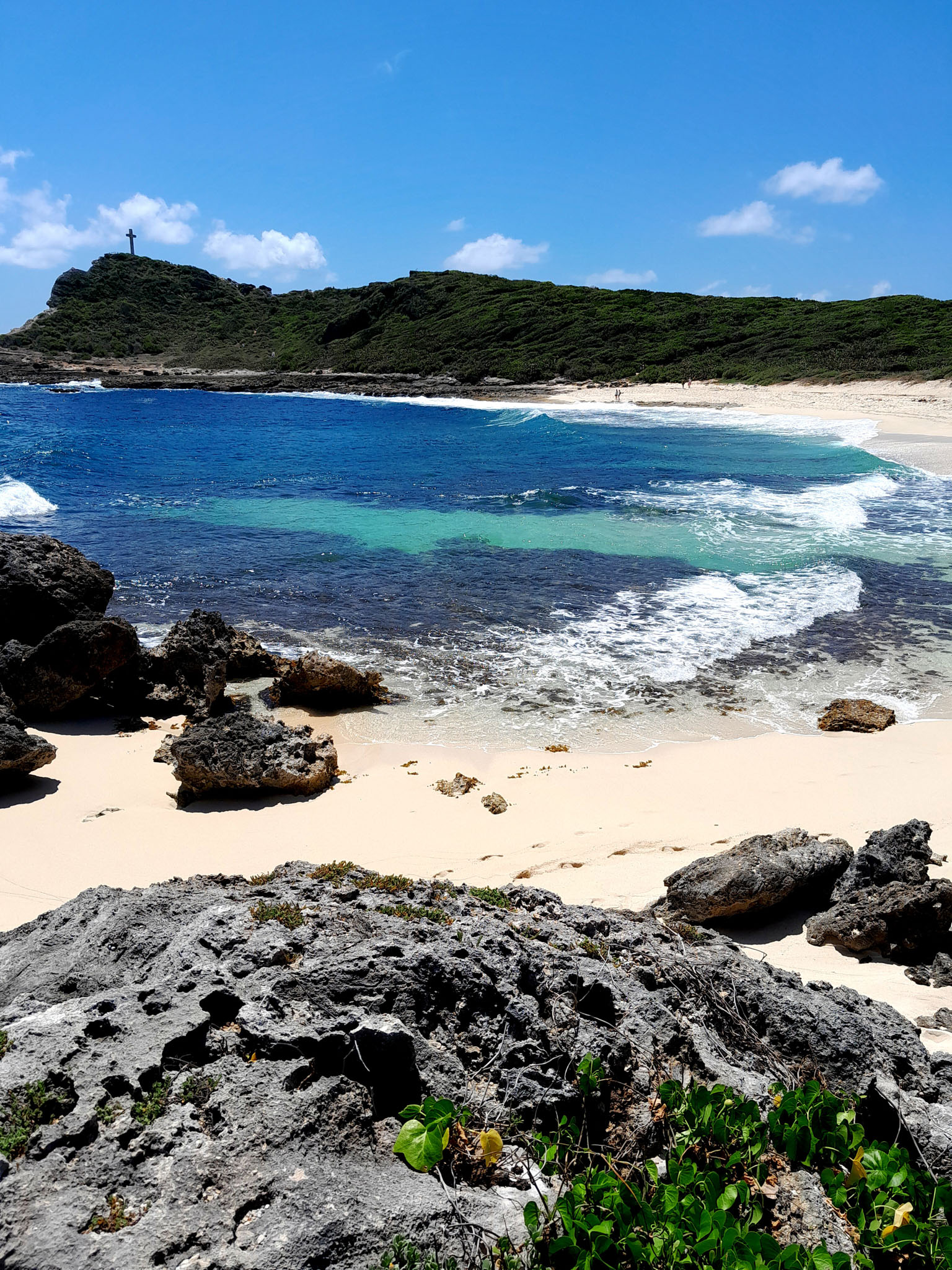
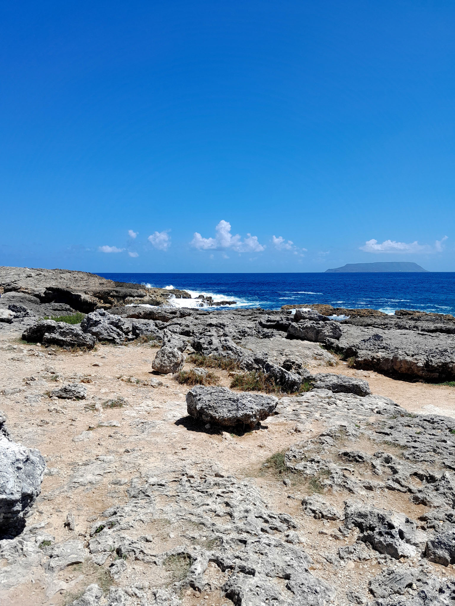
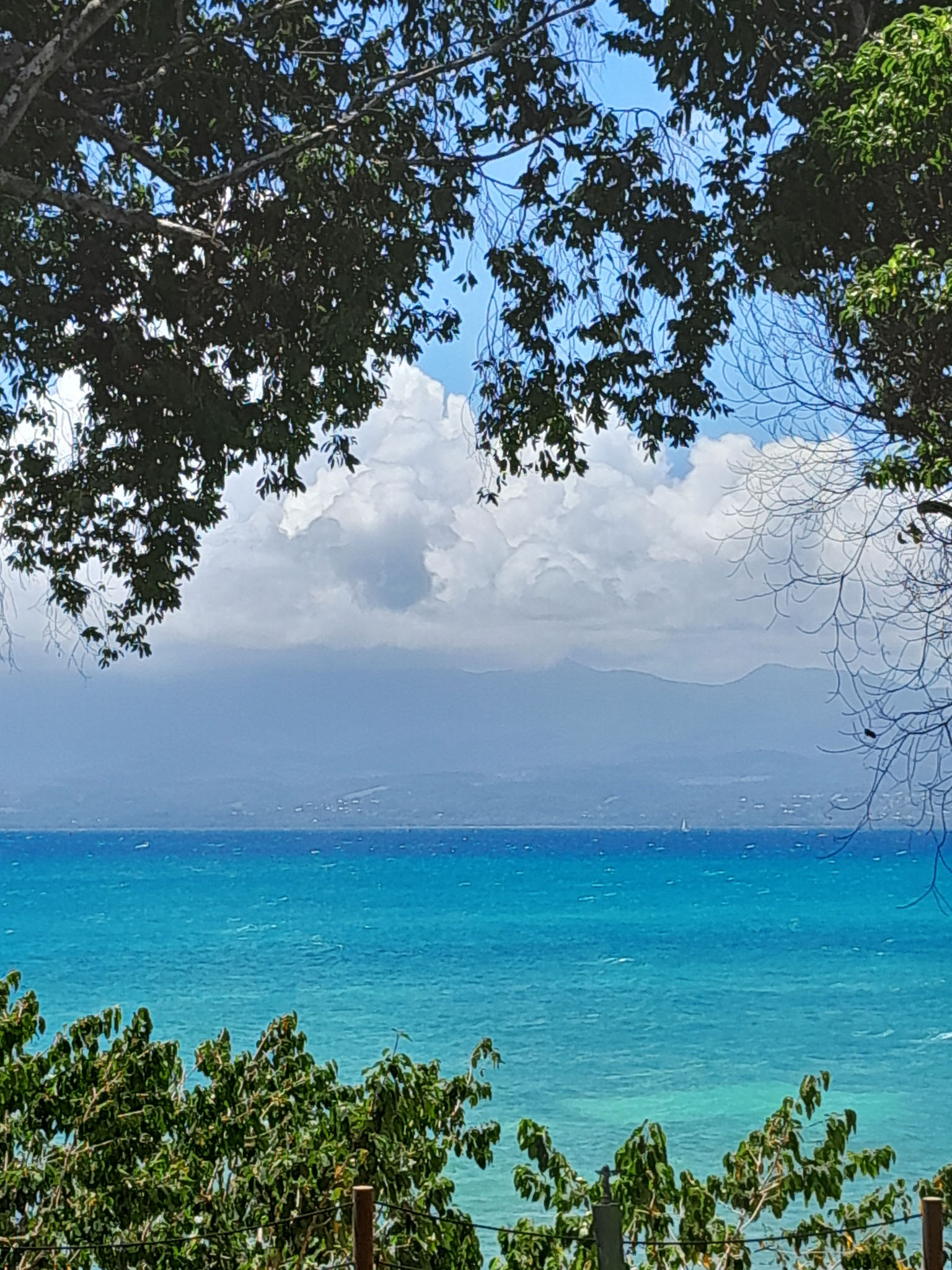
Guadeloupe comprises five islands: Basse-Terre Island, Grande-Terre (separated from Basse-Terre by a narrow sea channel called Salt River) with the adjacent islands of La Désirade, Les Saintes and Marie-Galante.

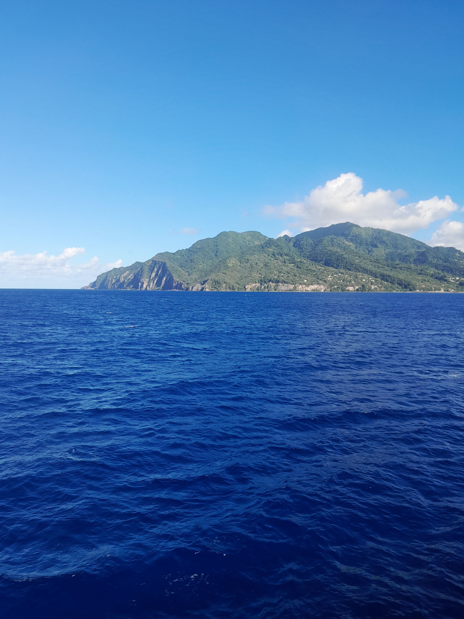
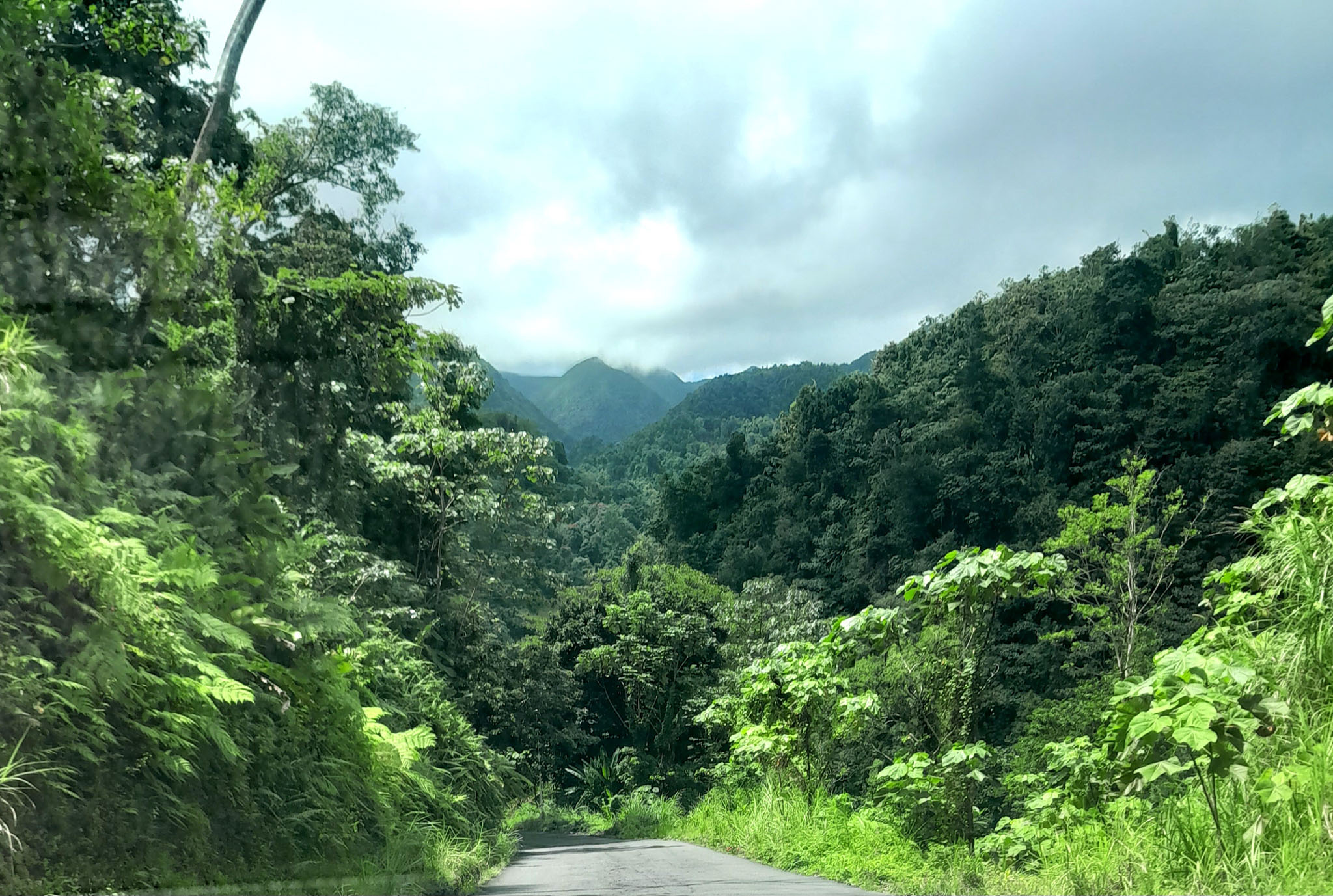
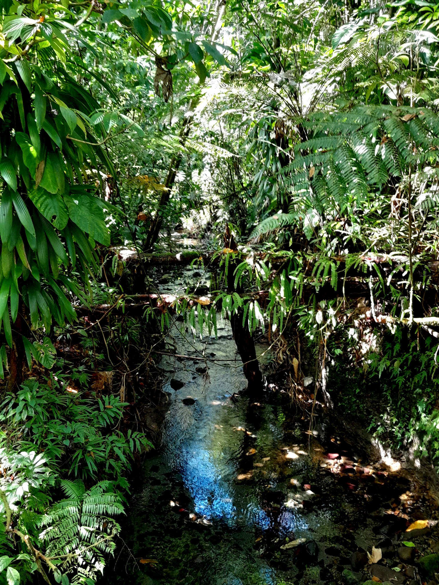
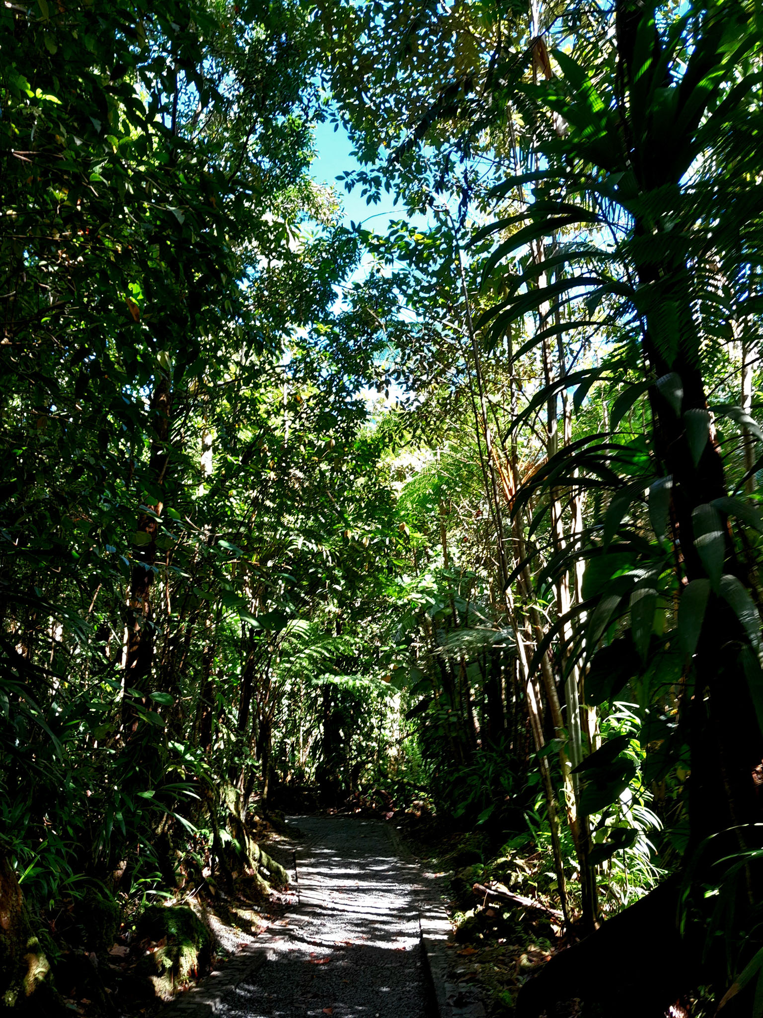
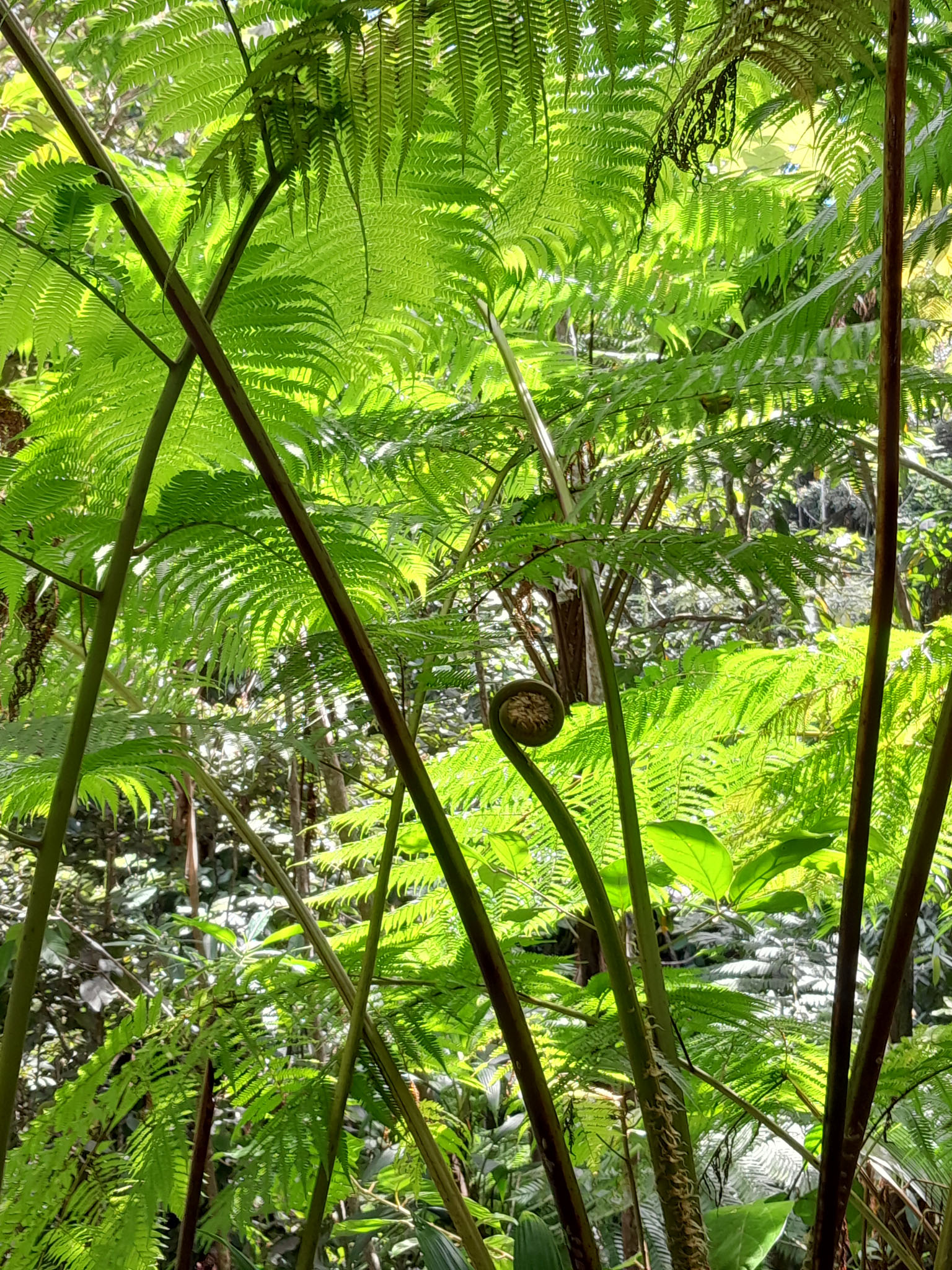
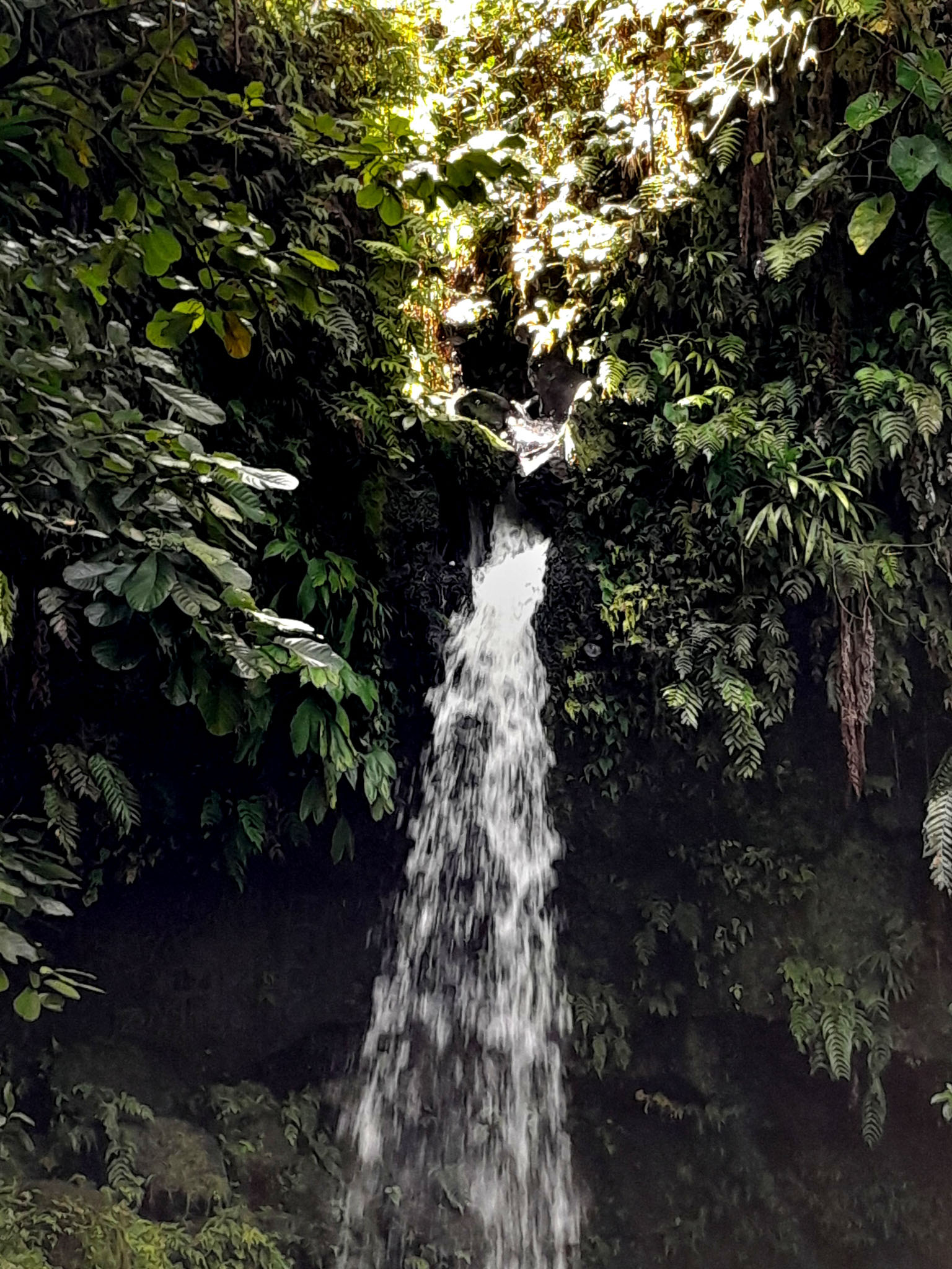
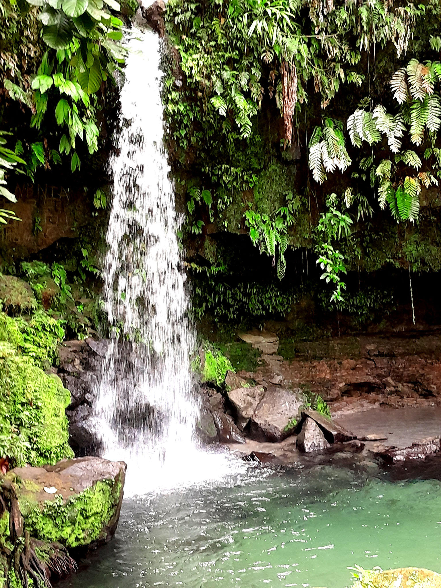
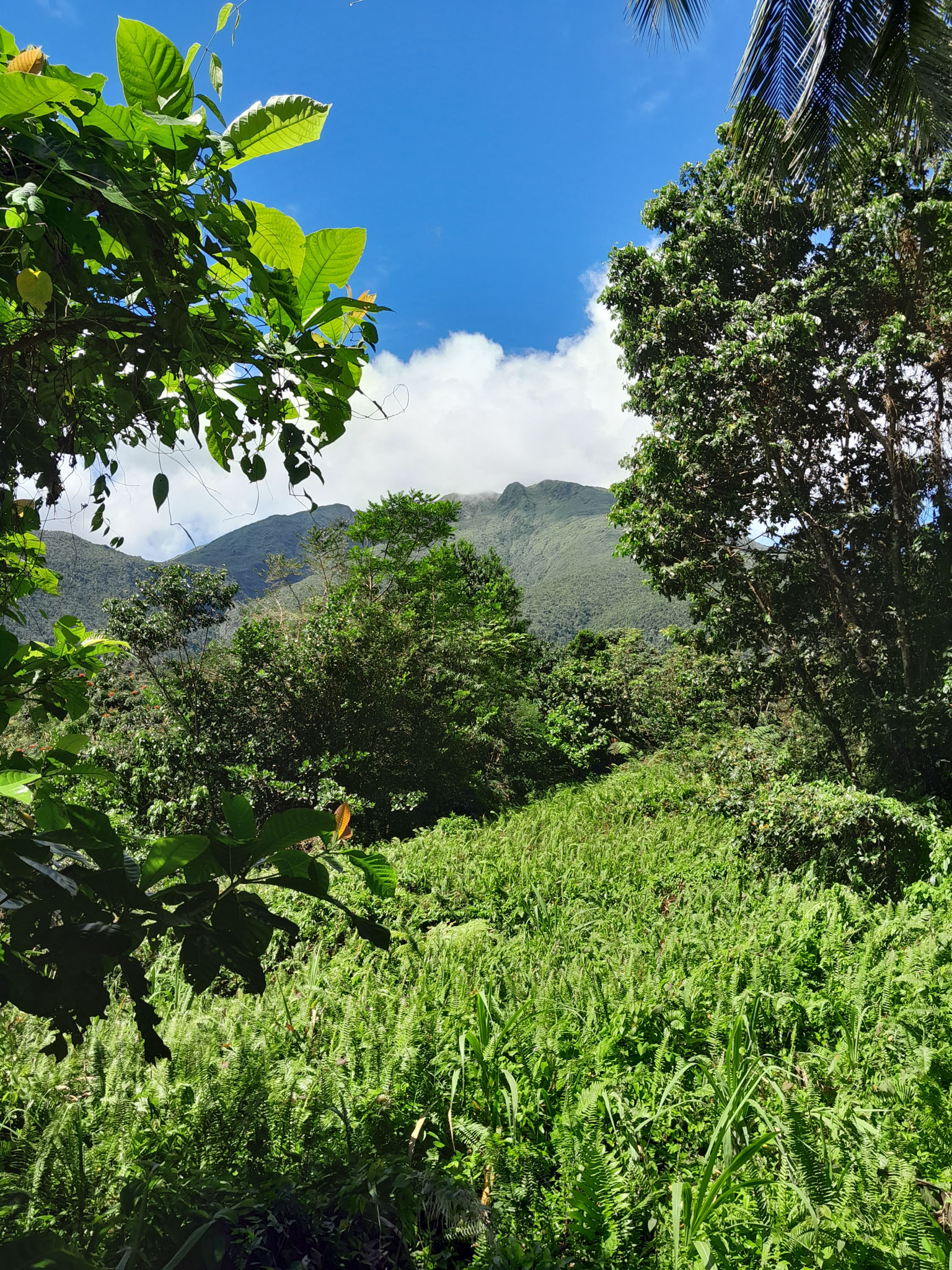
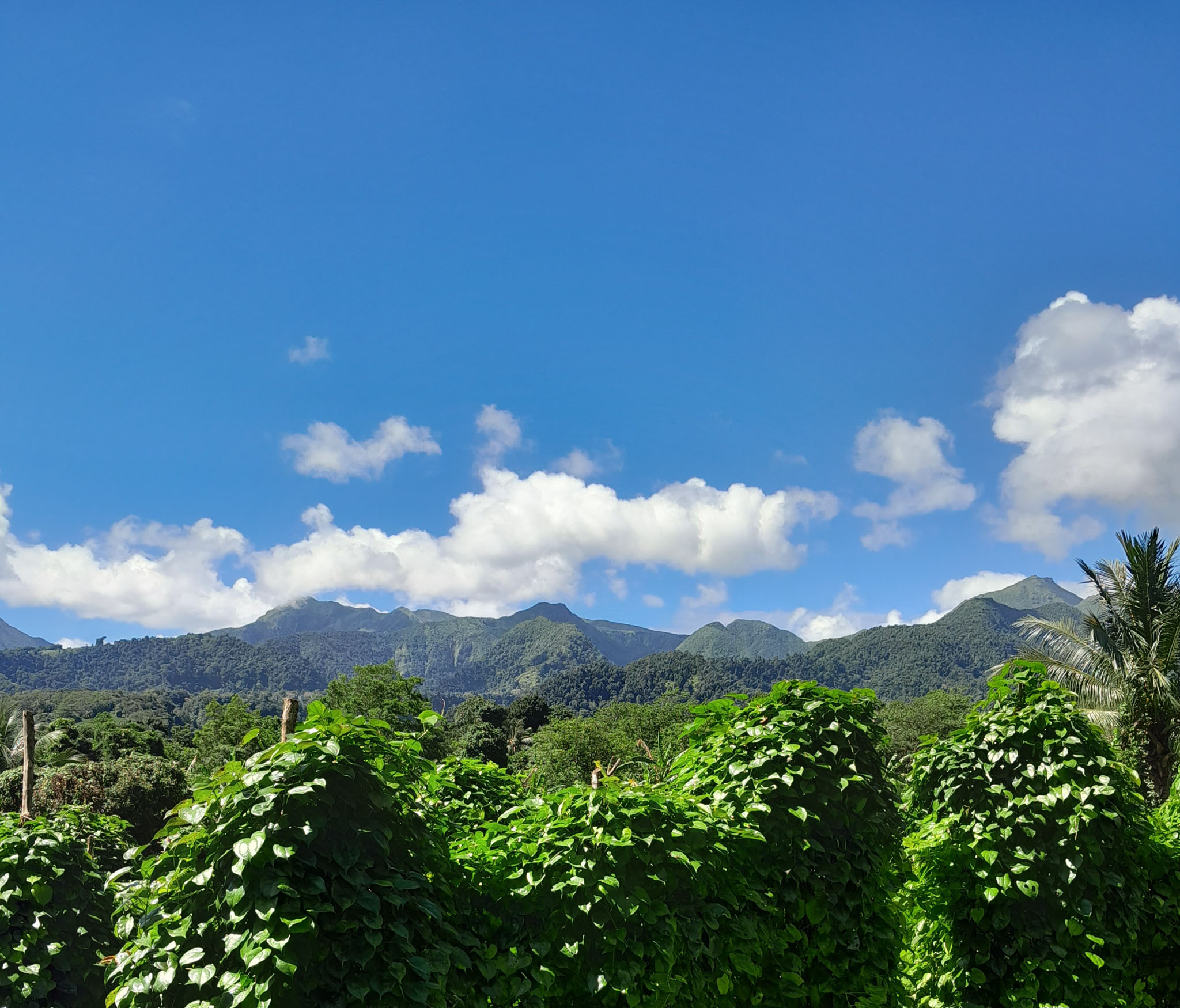
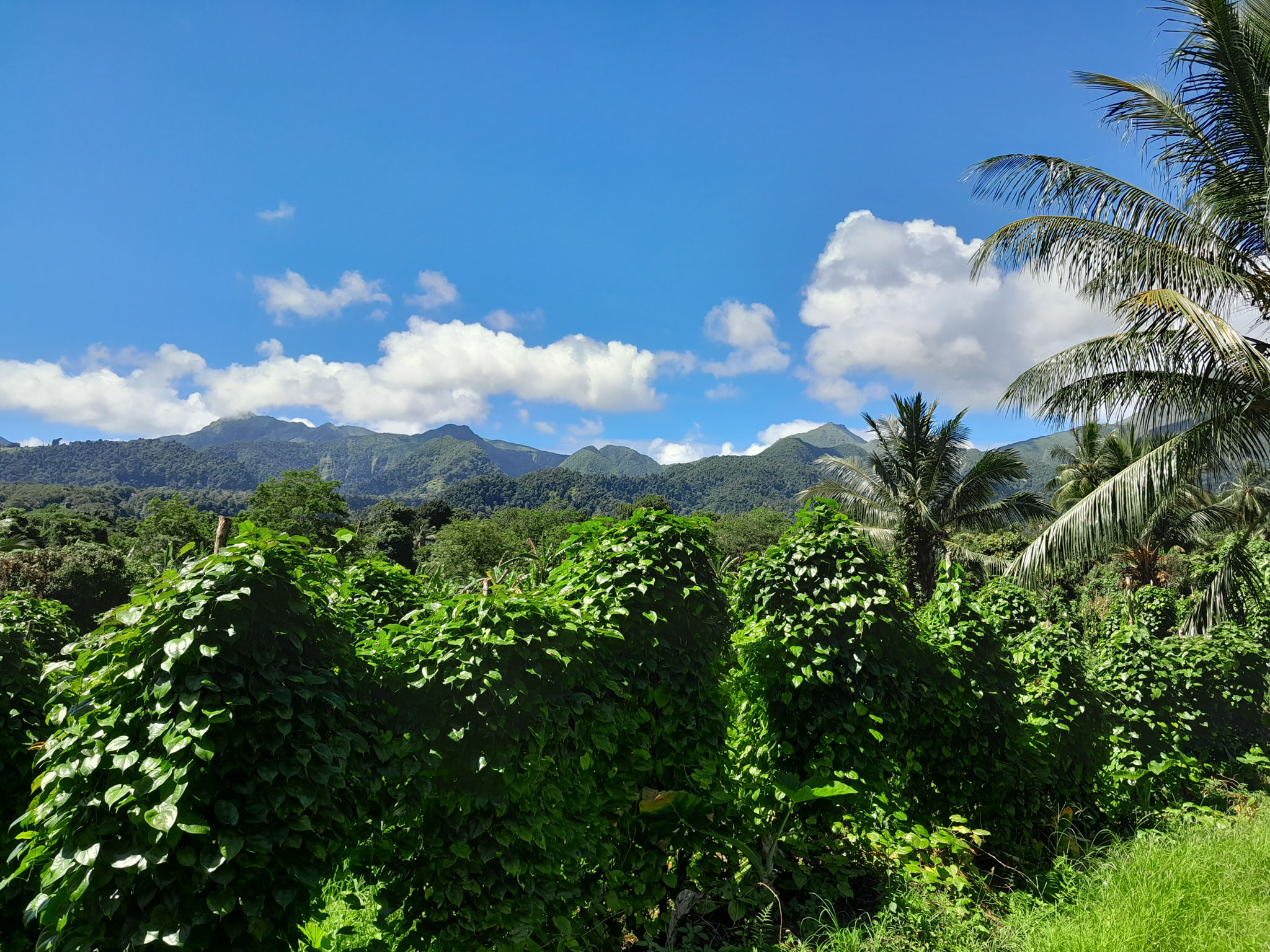
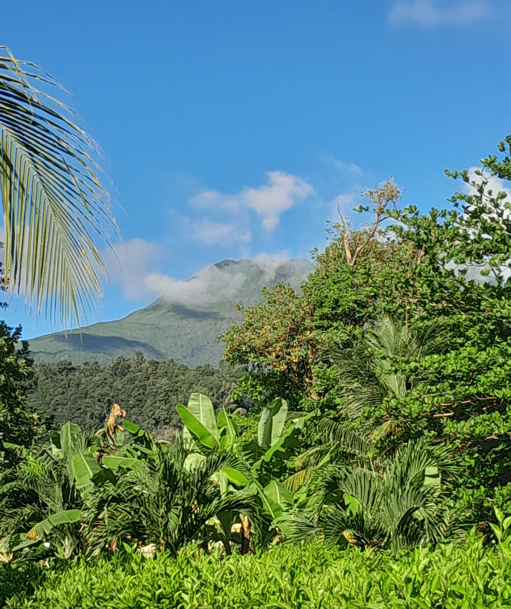
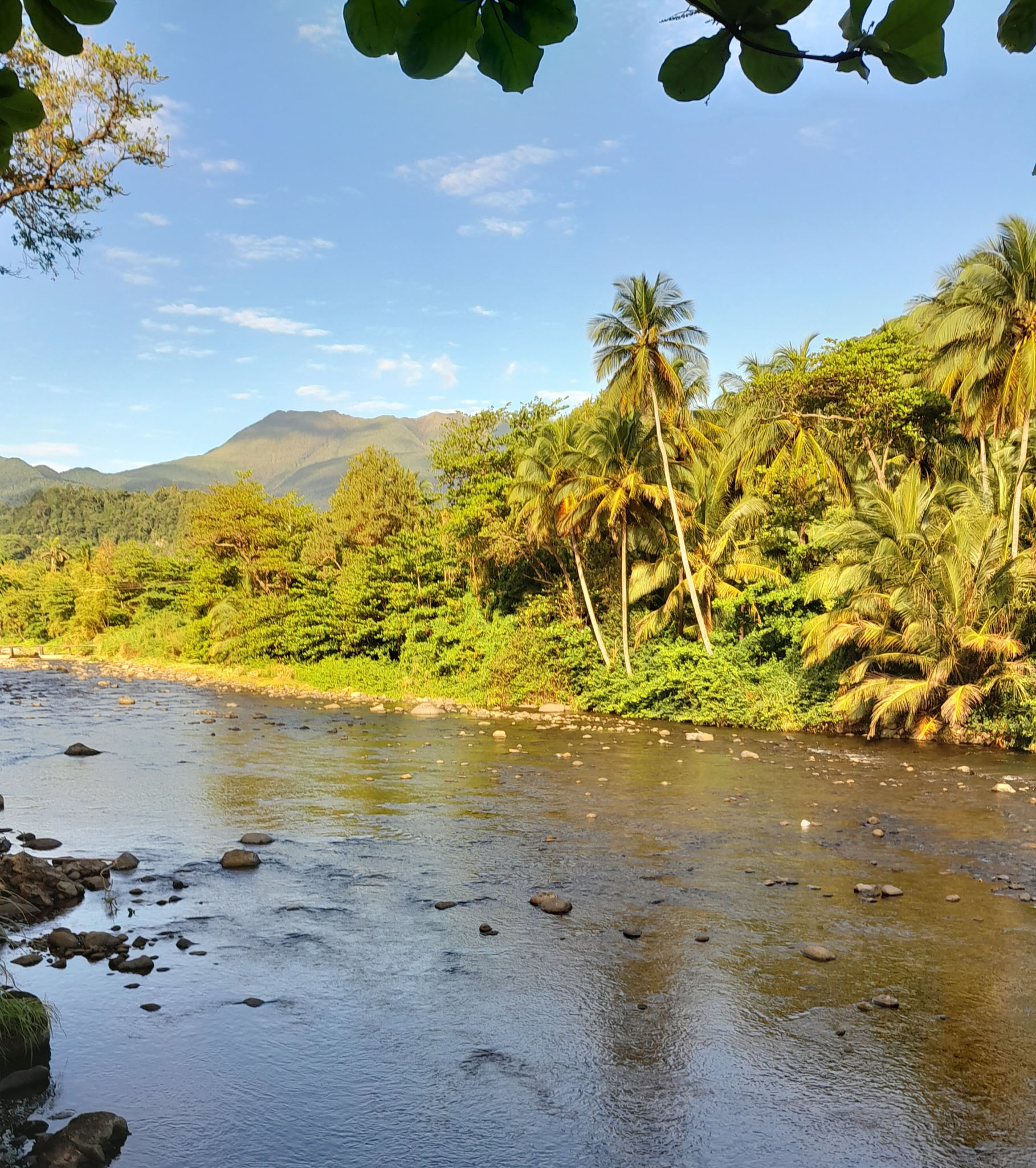
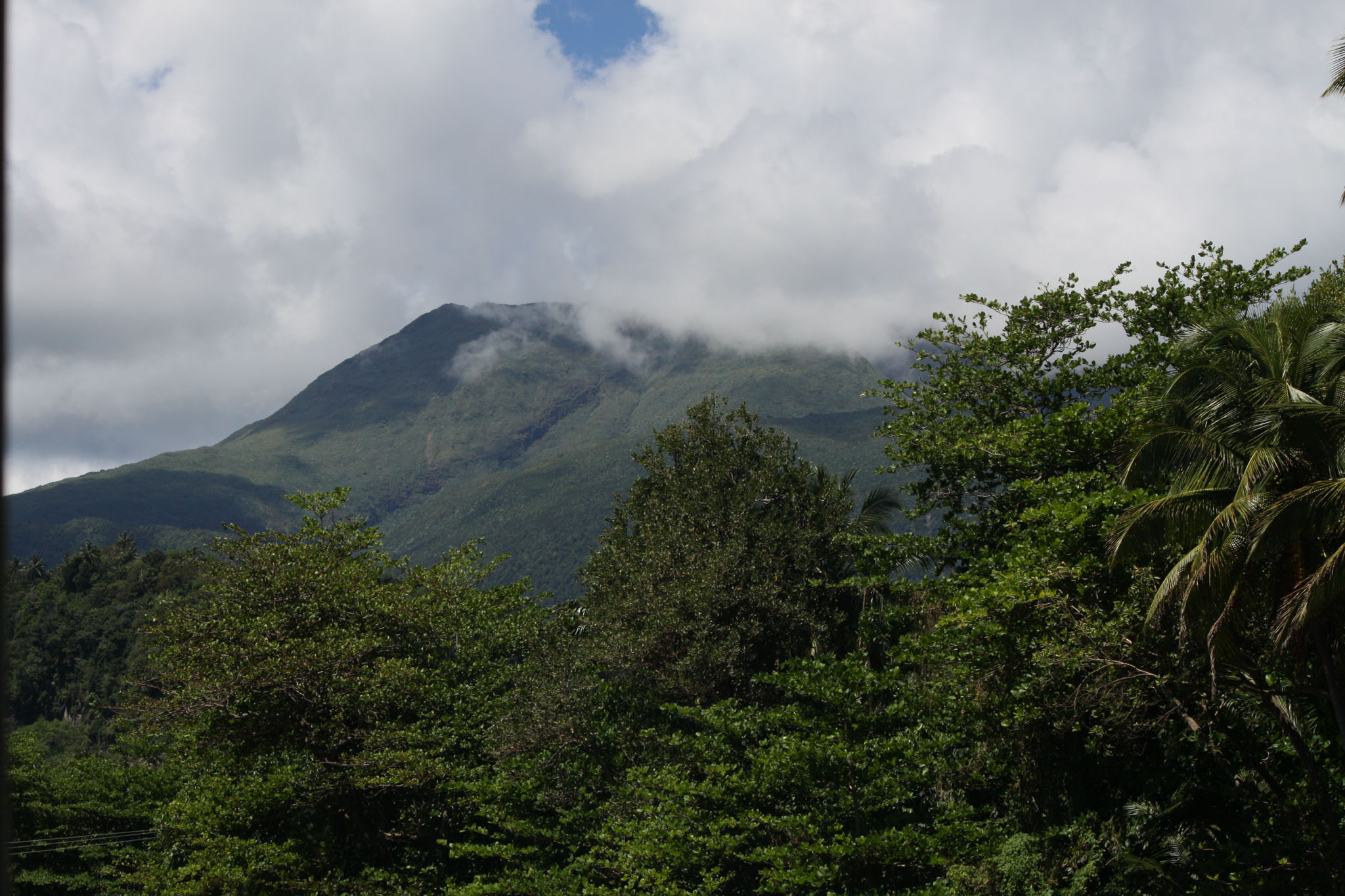
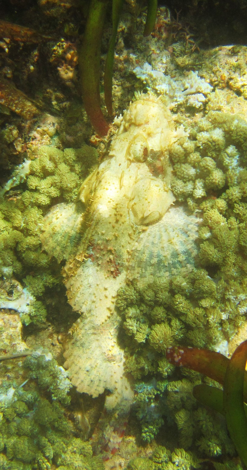
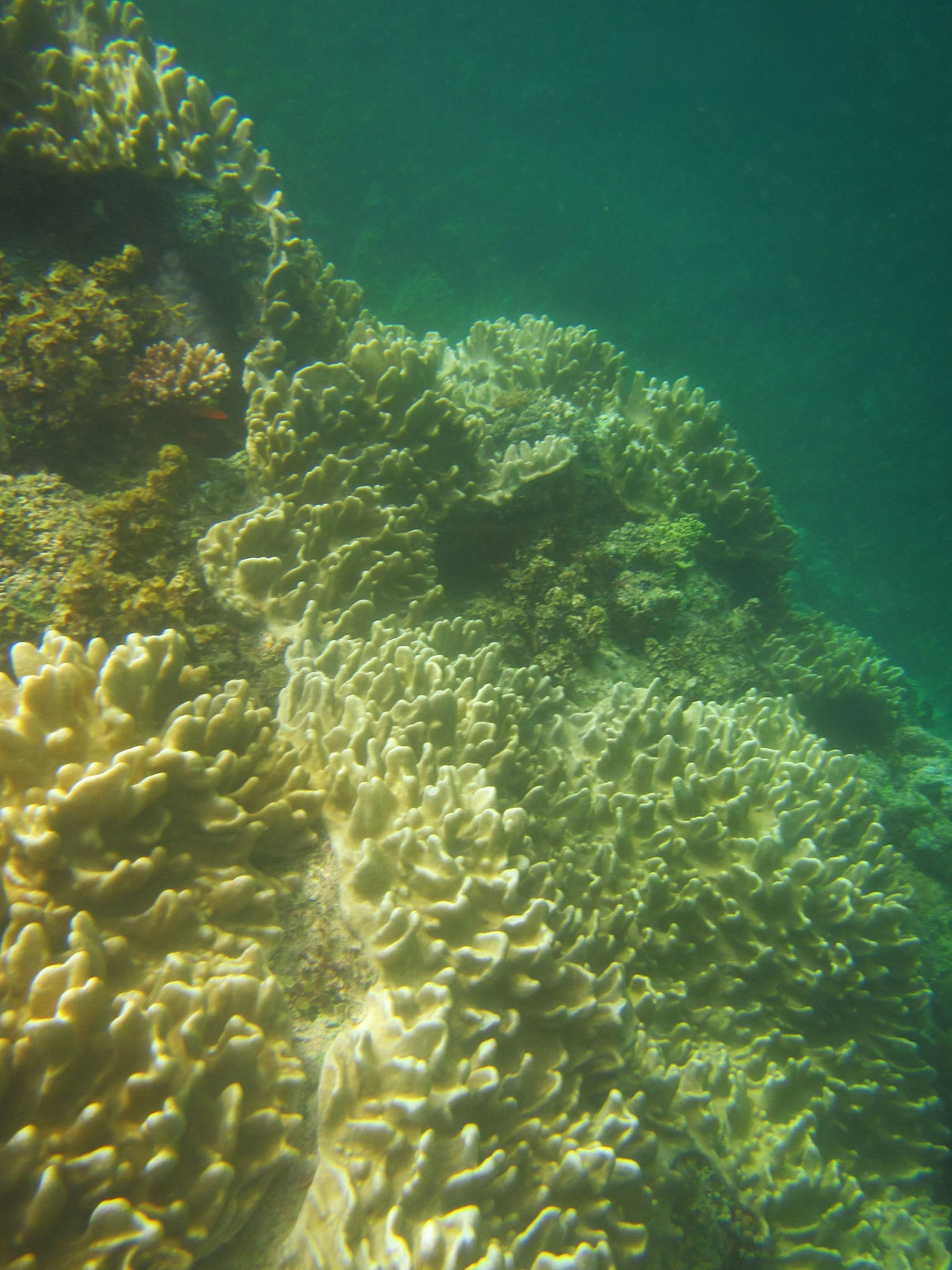
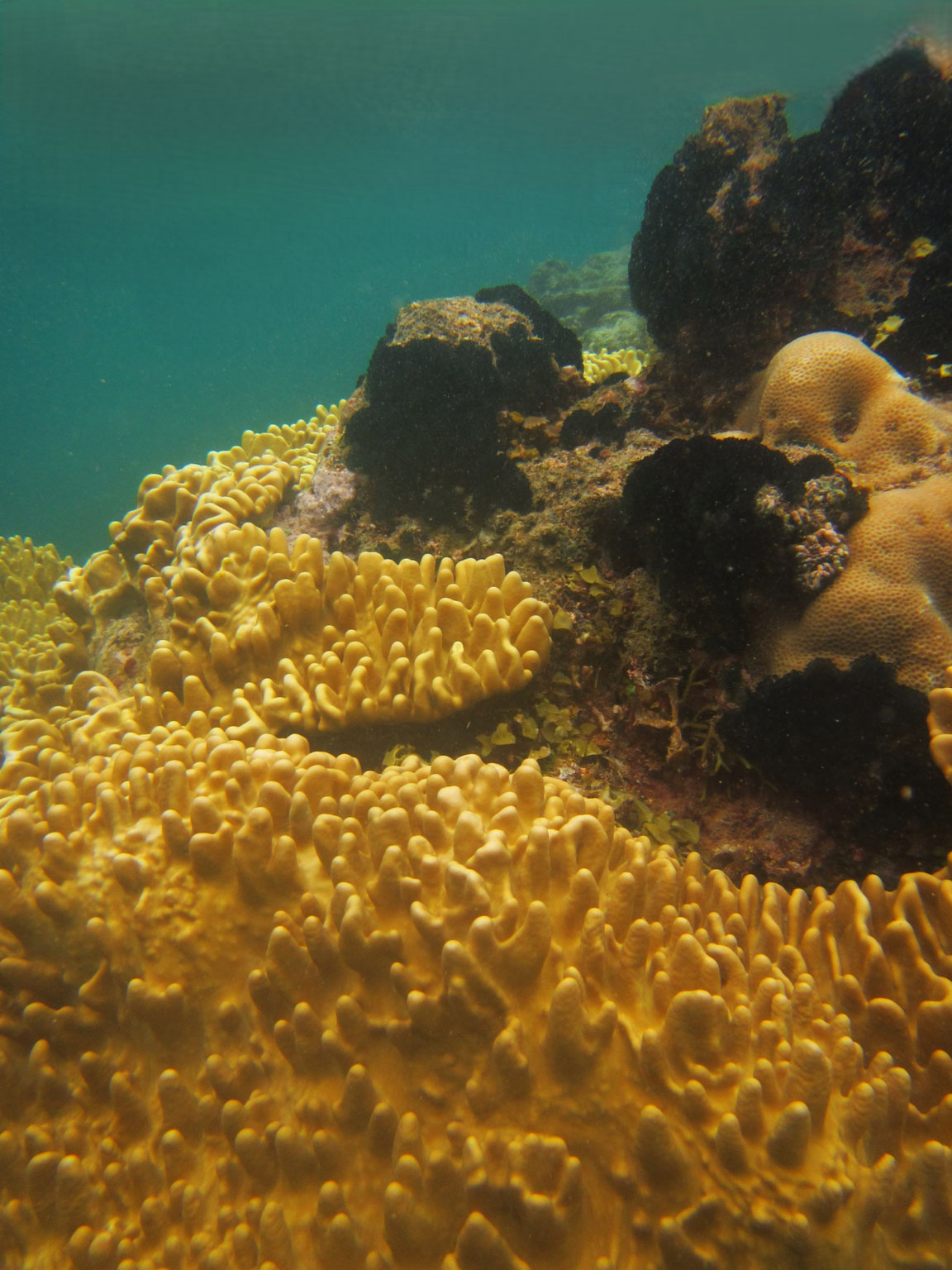
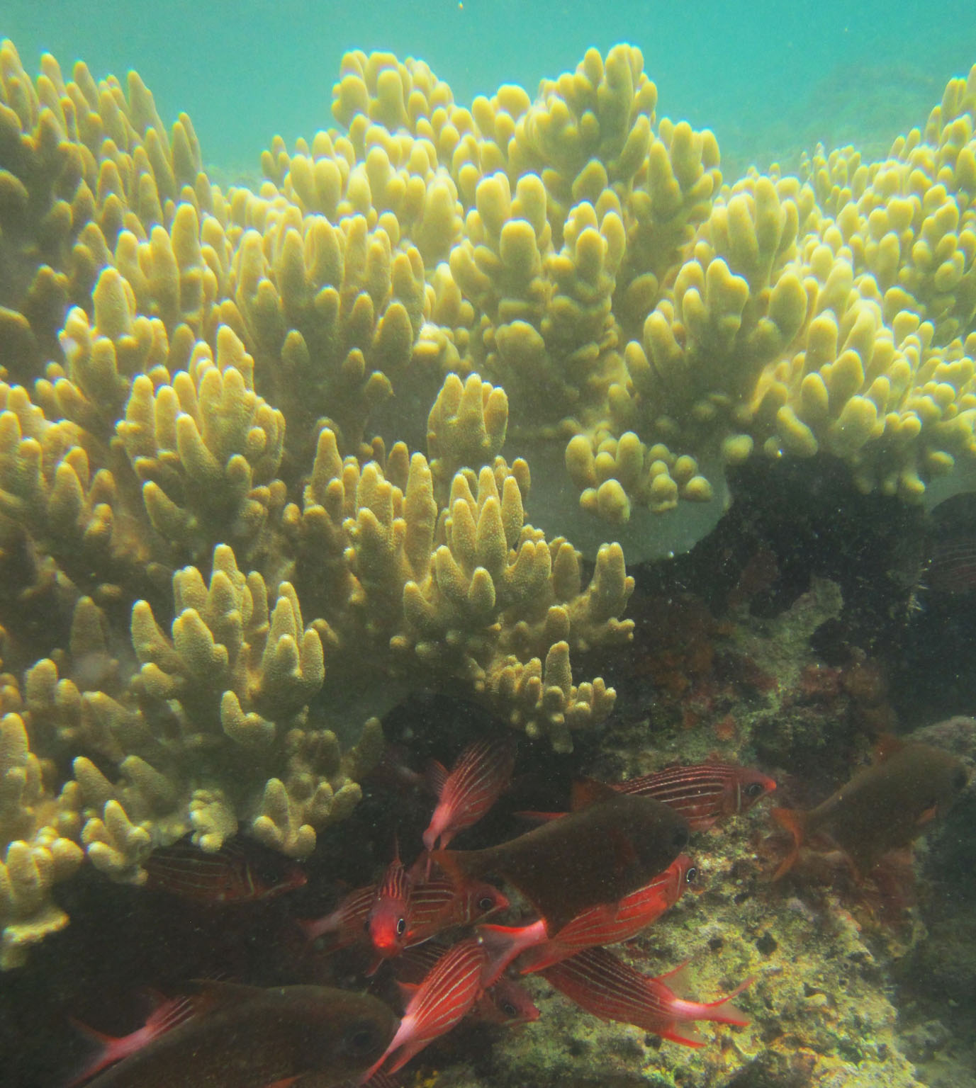
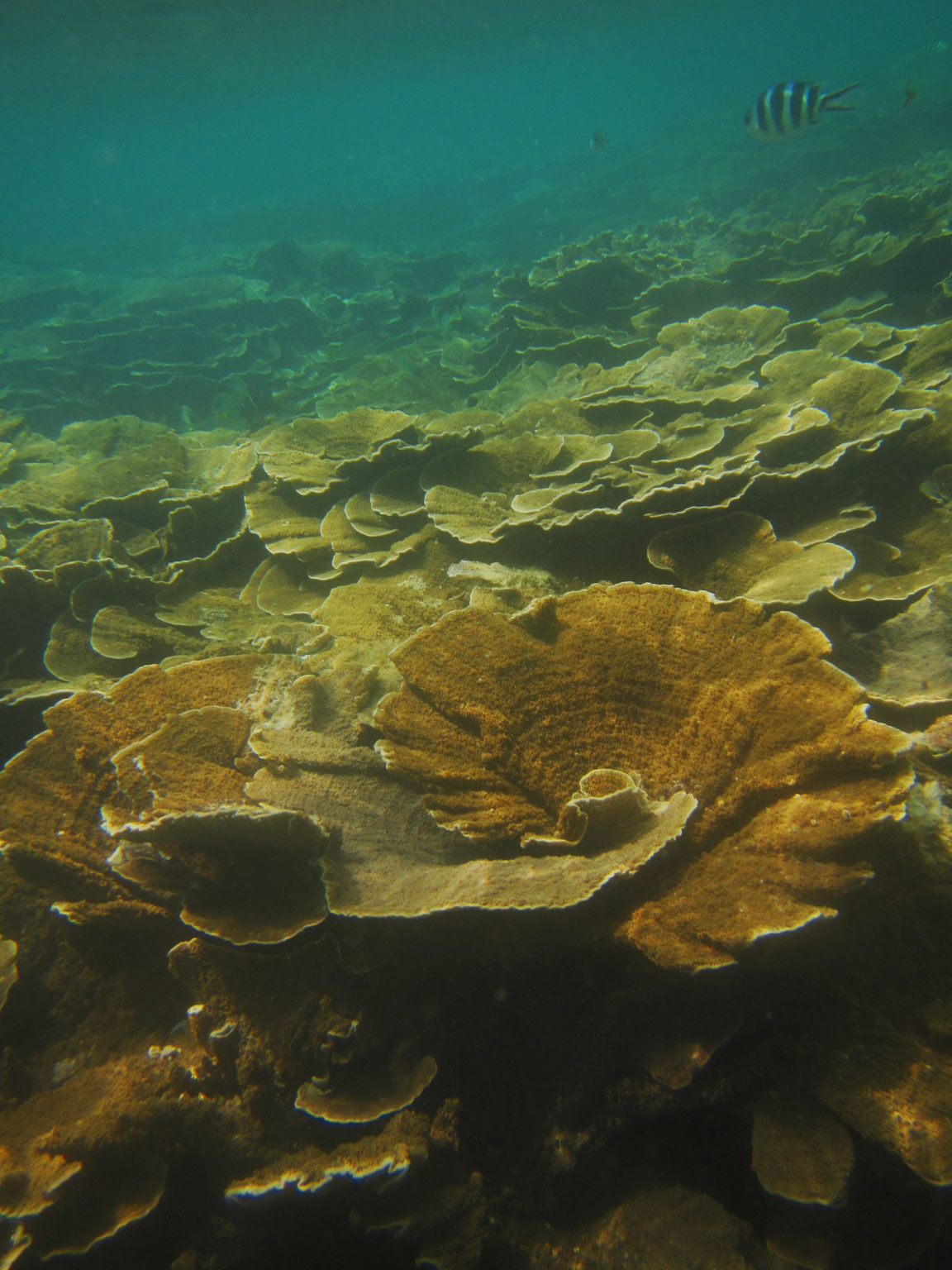
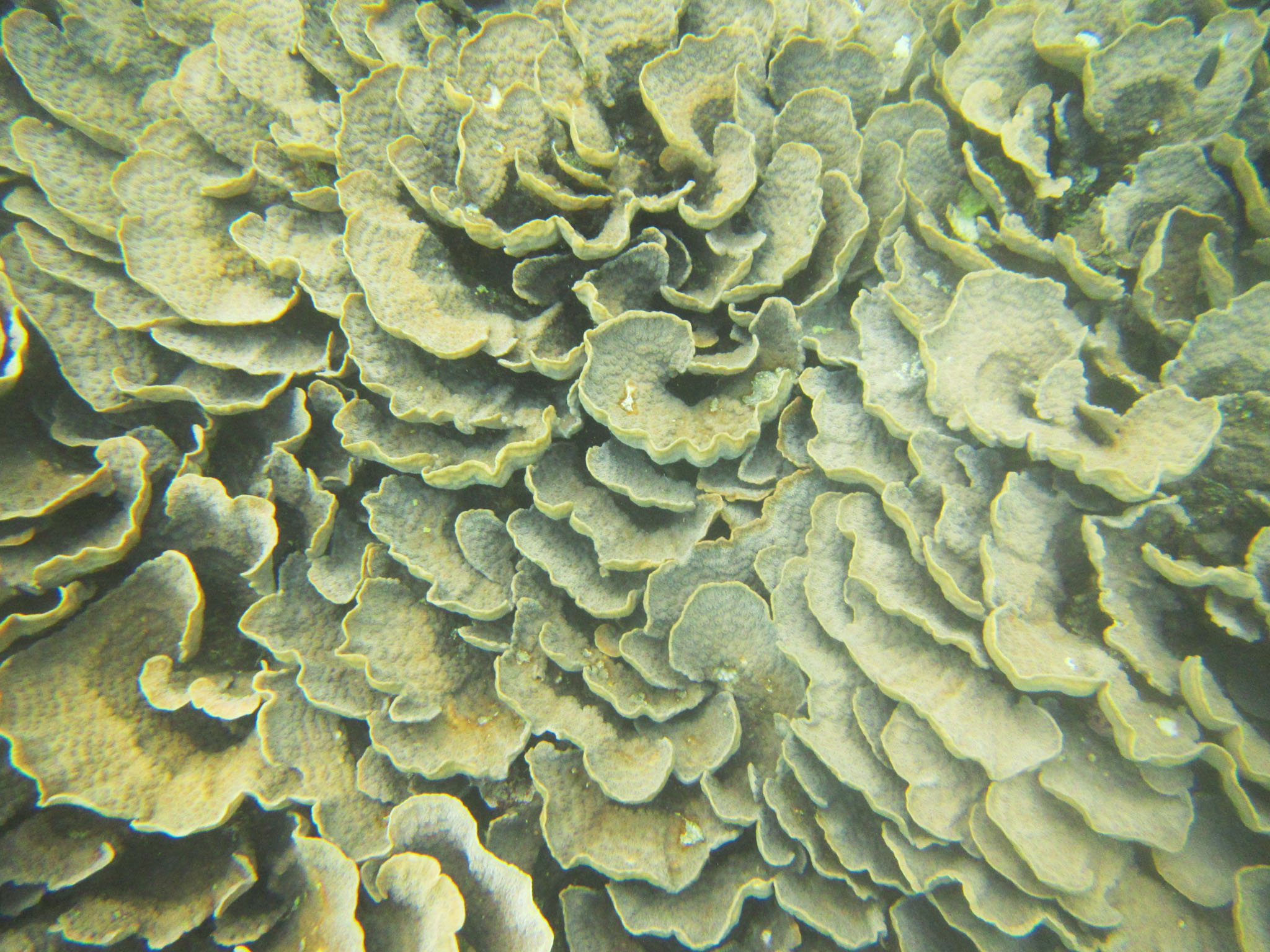
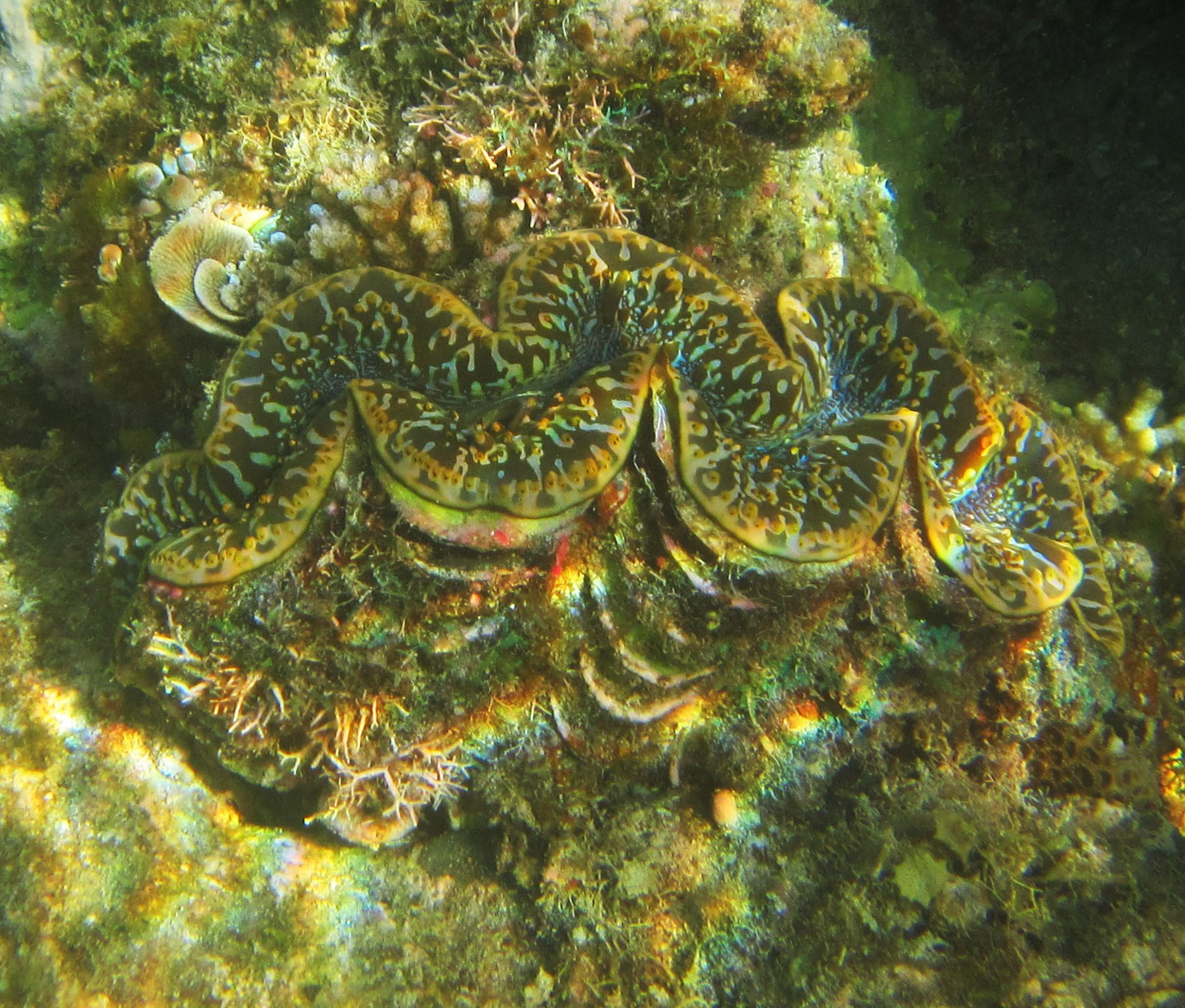
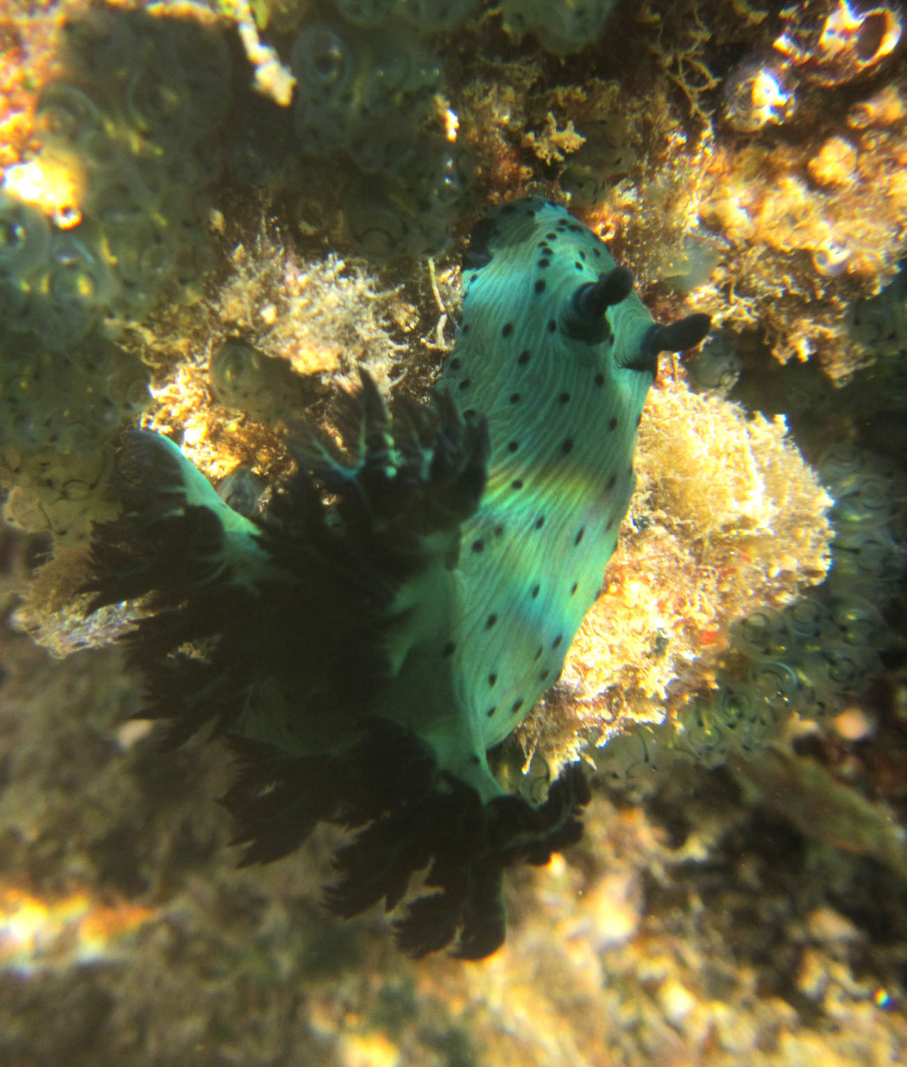
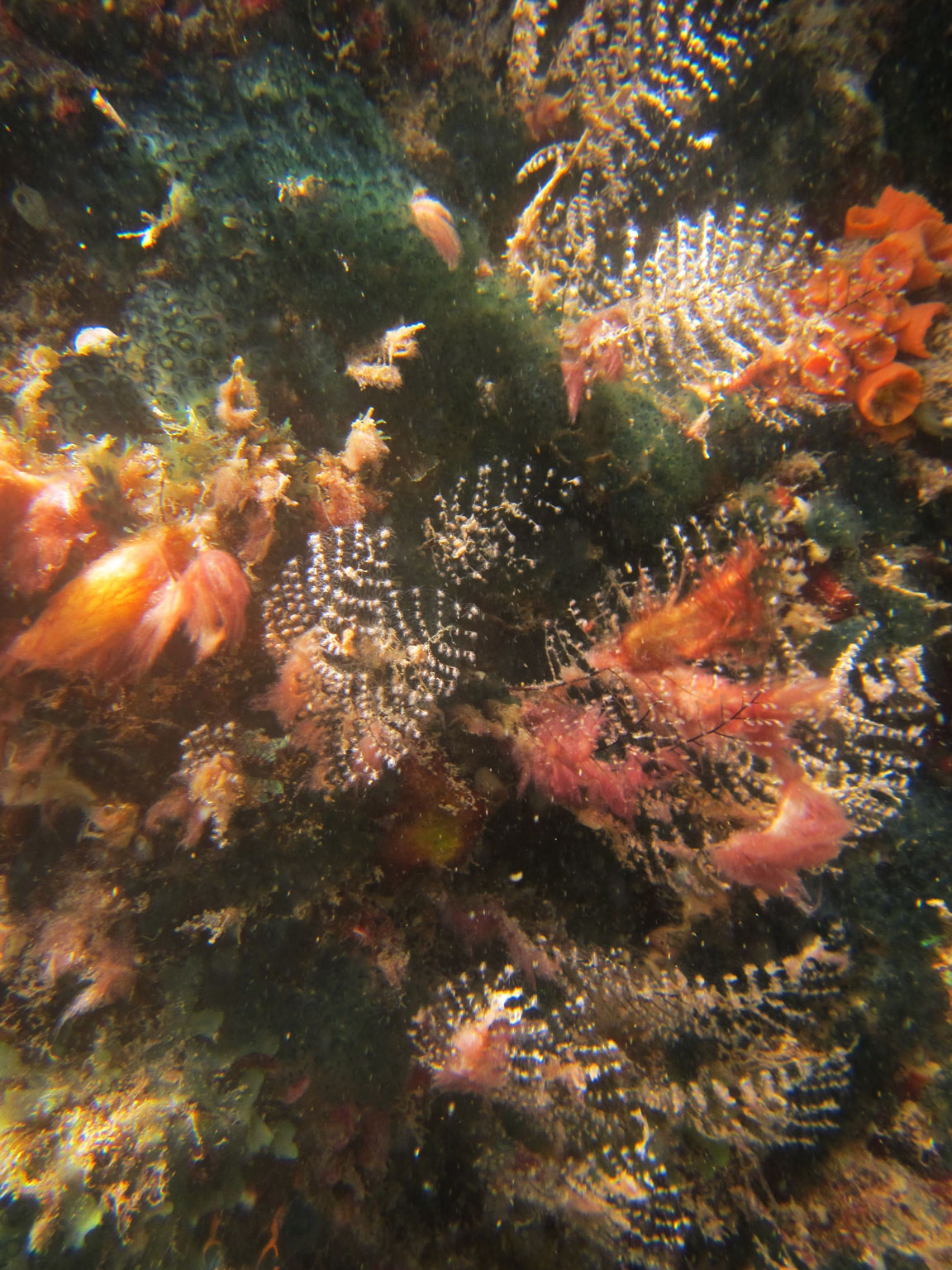
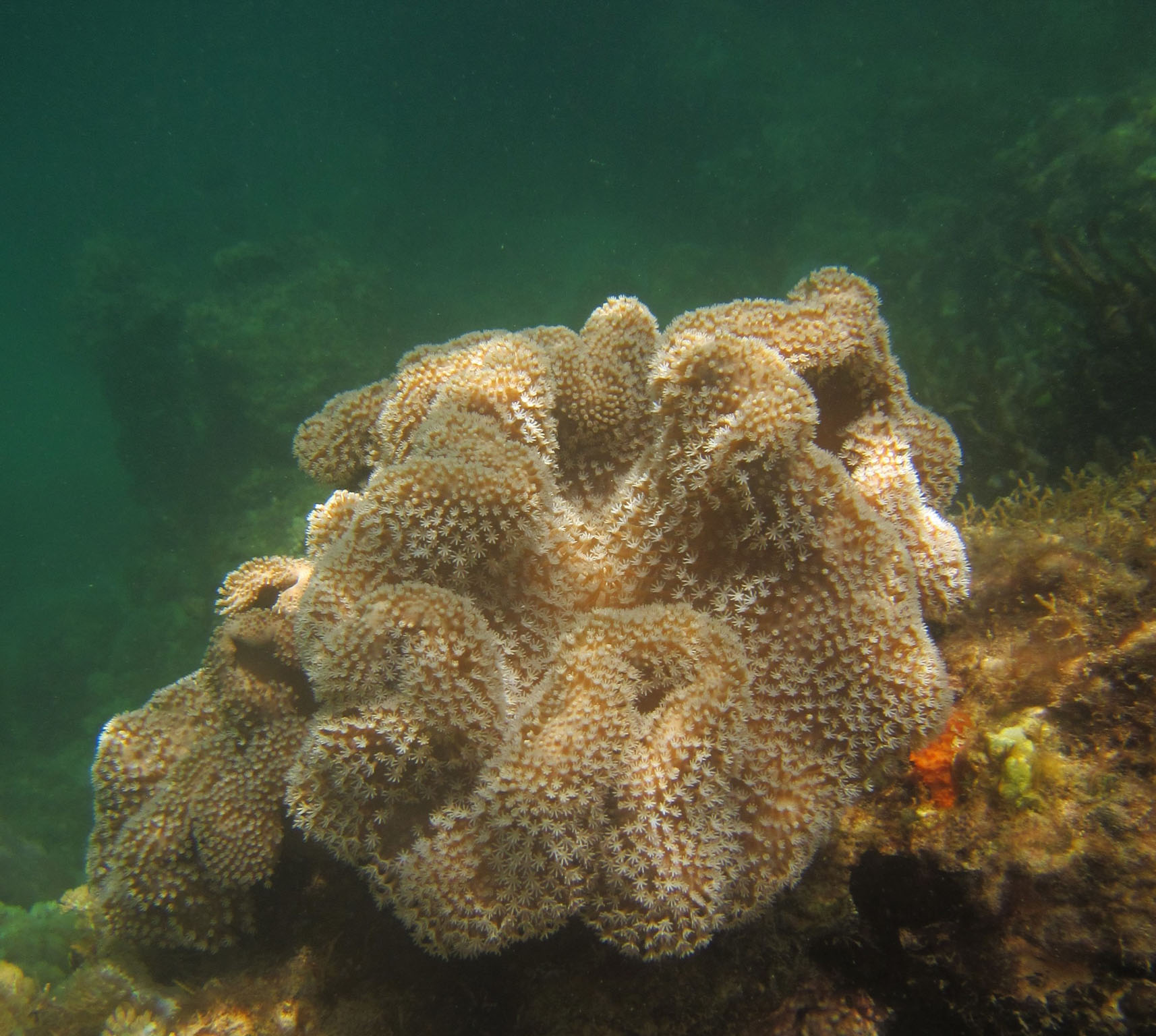
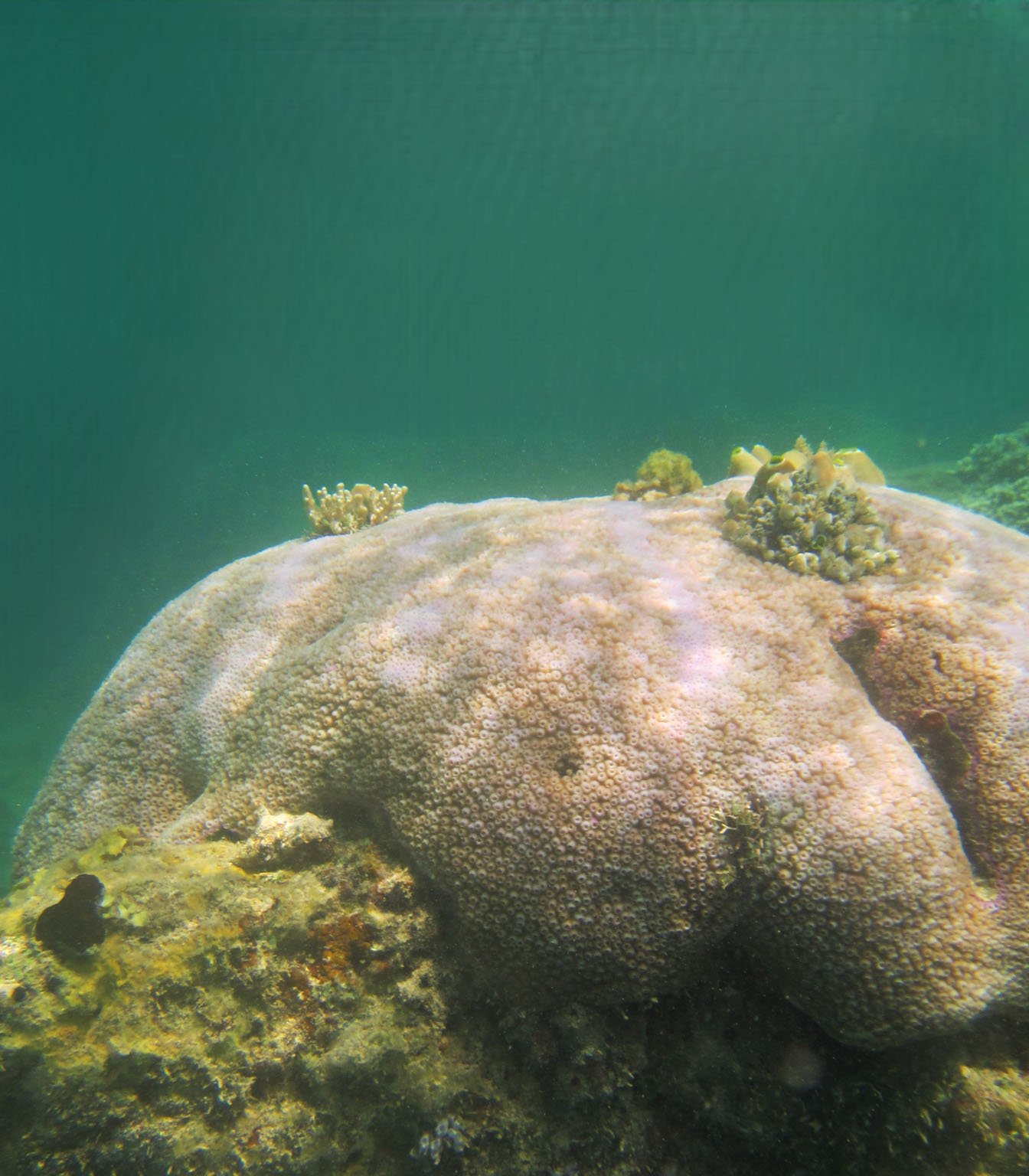
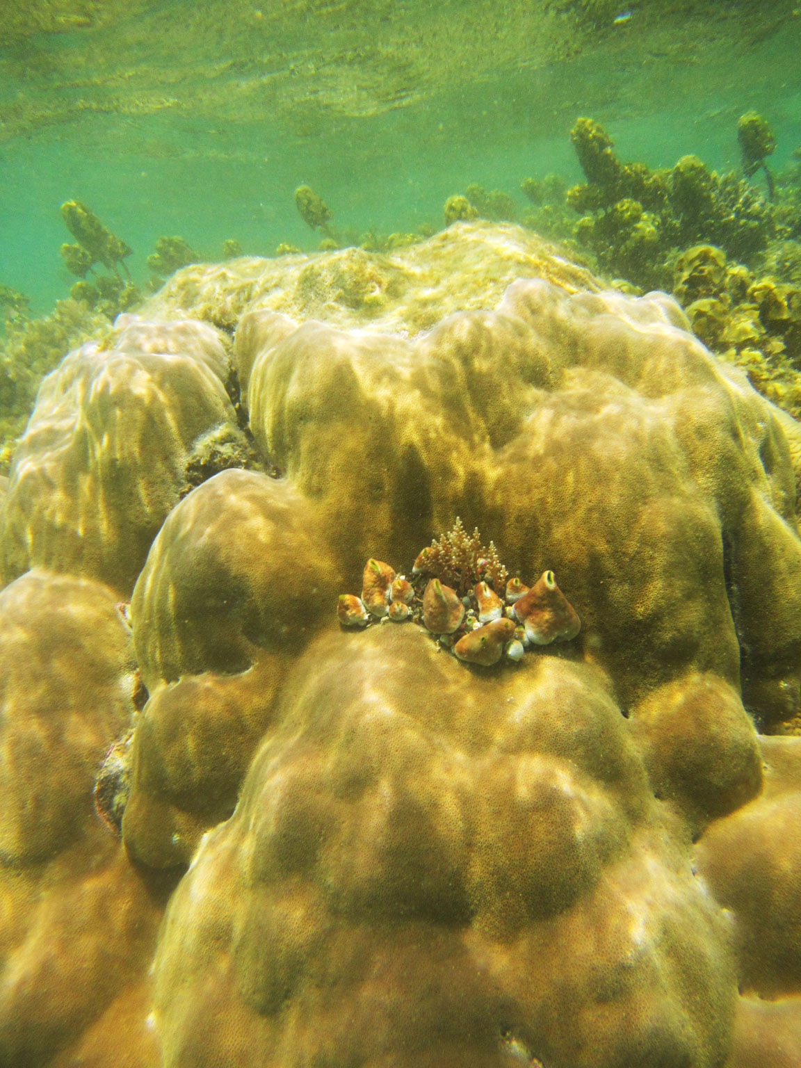
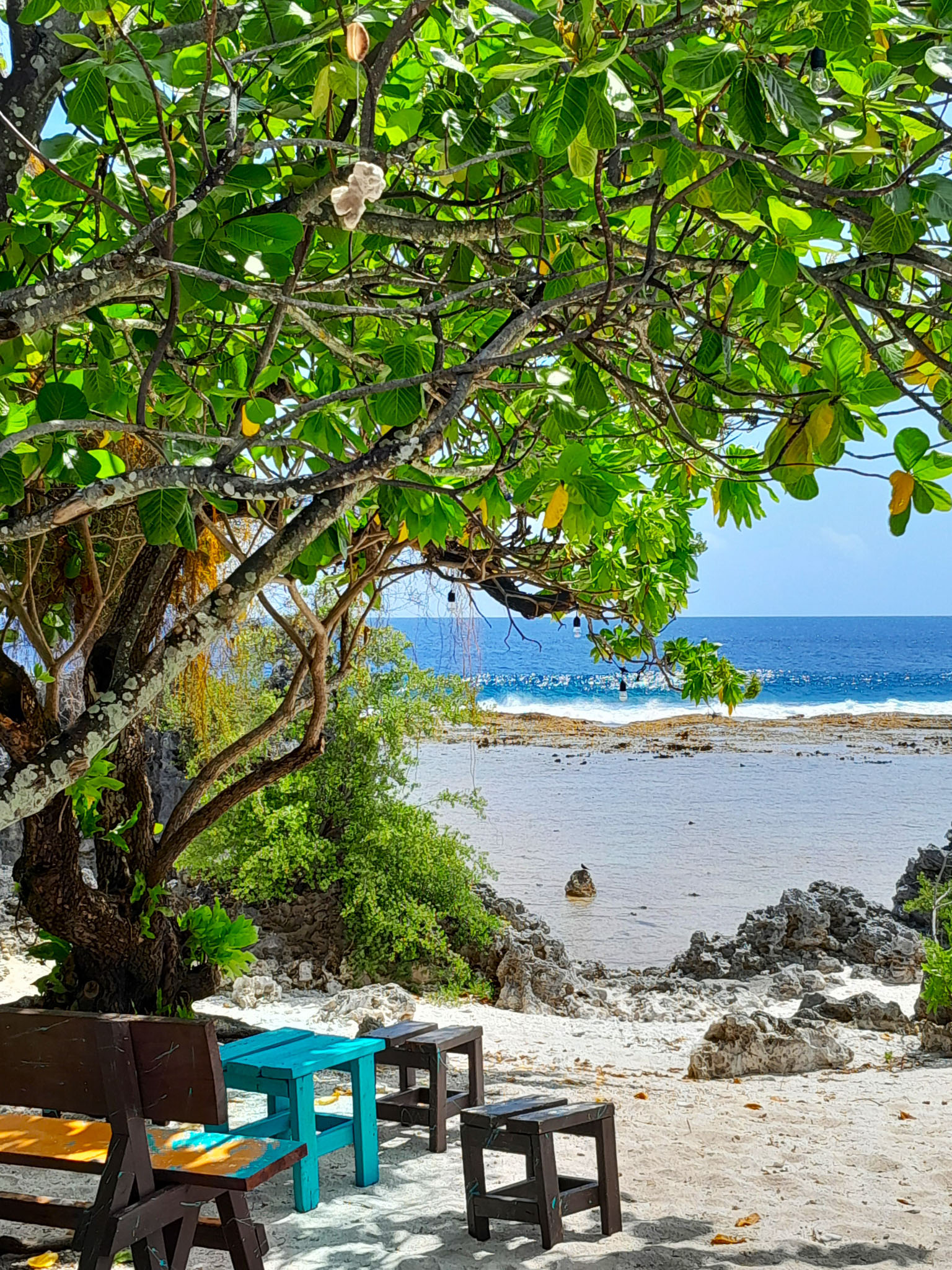
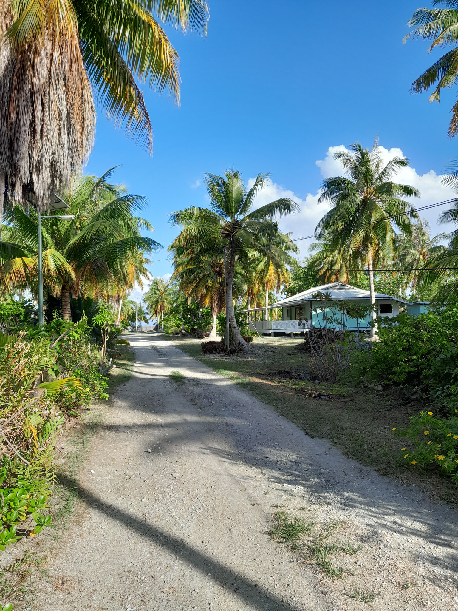
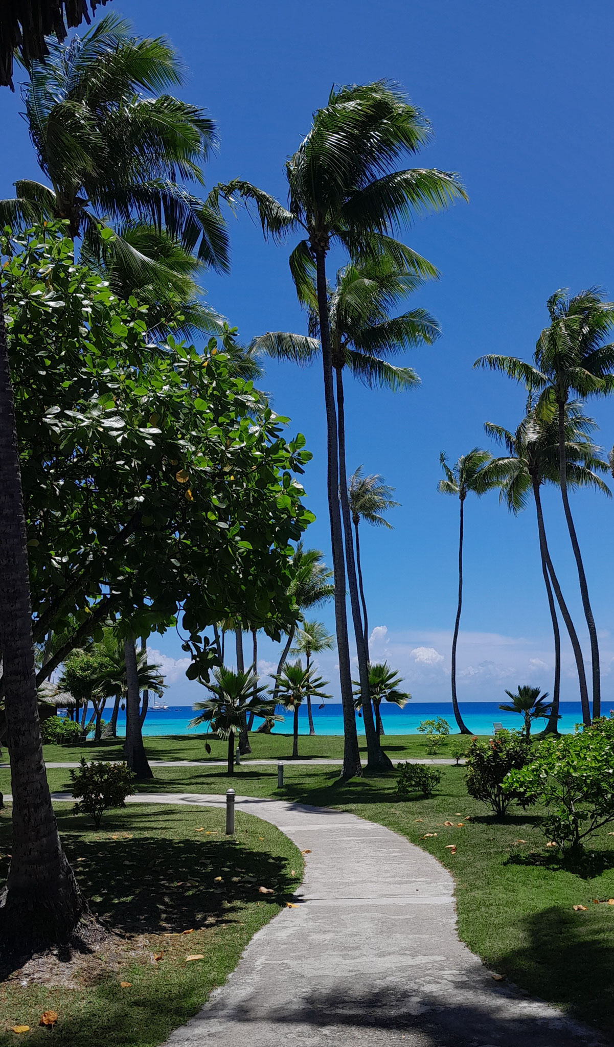
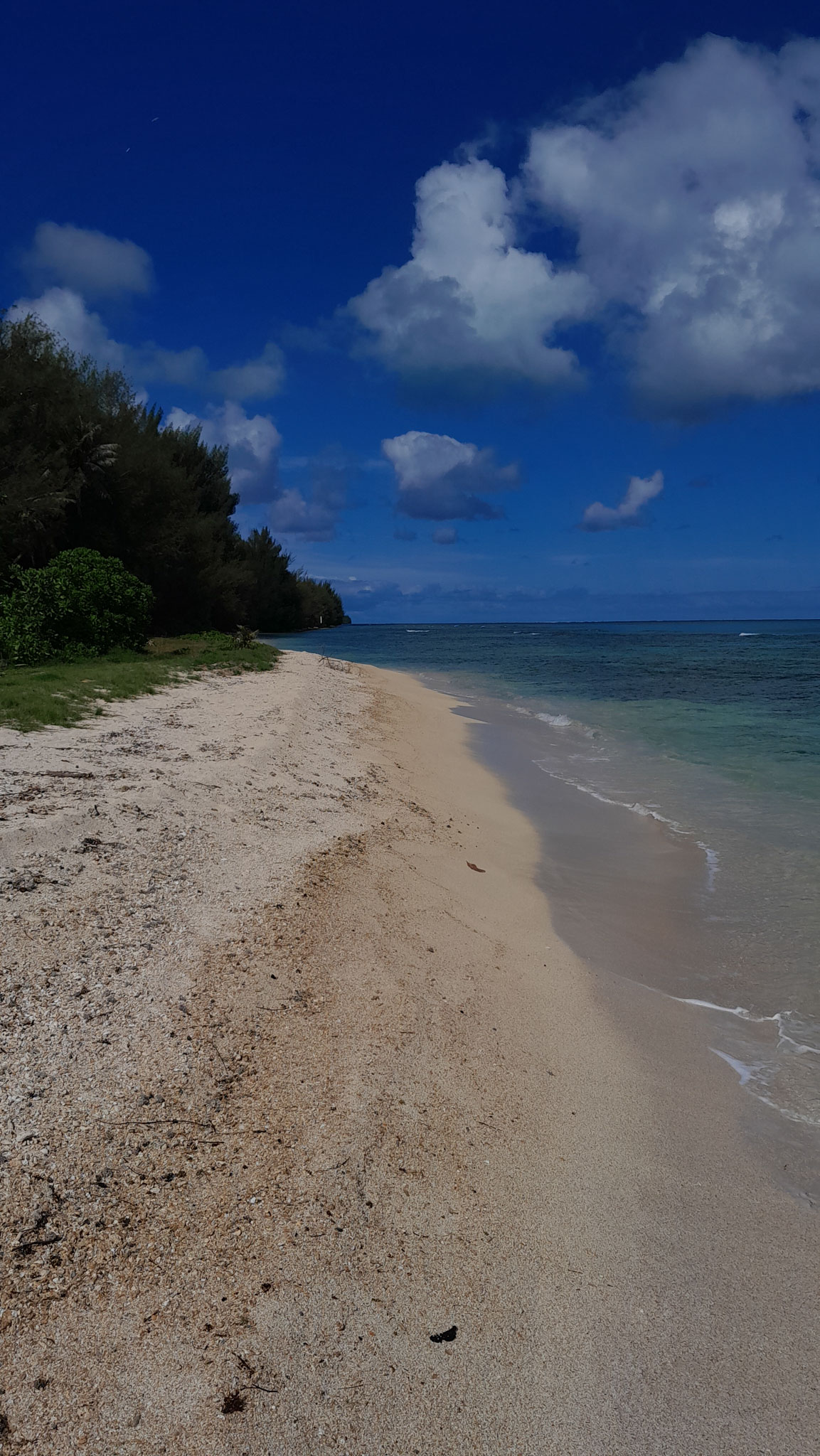
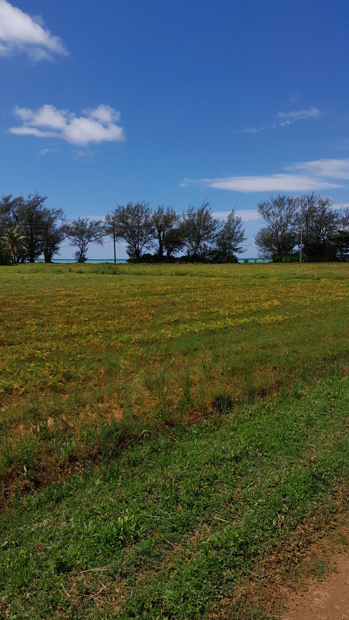
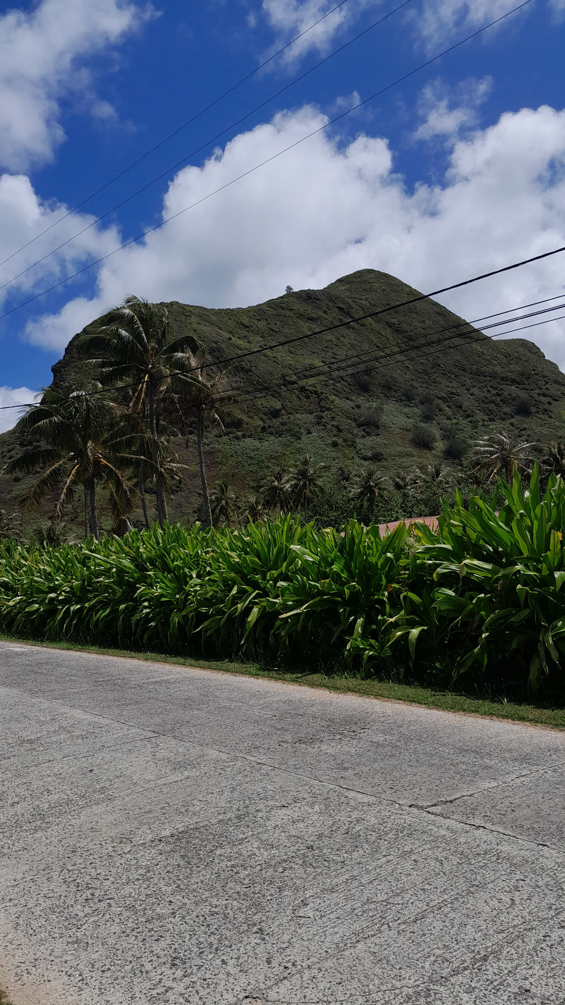
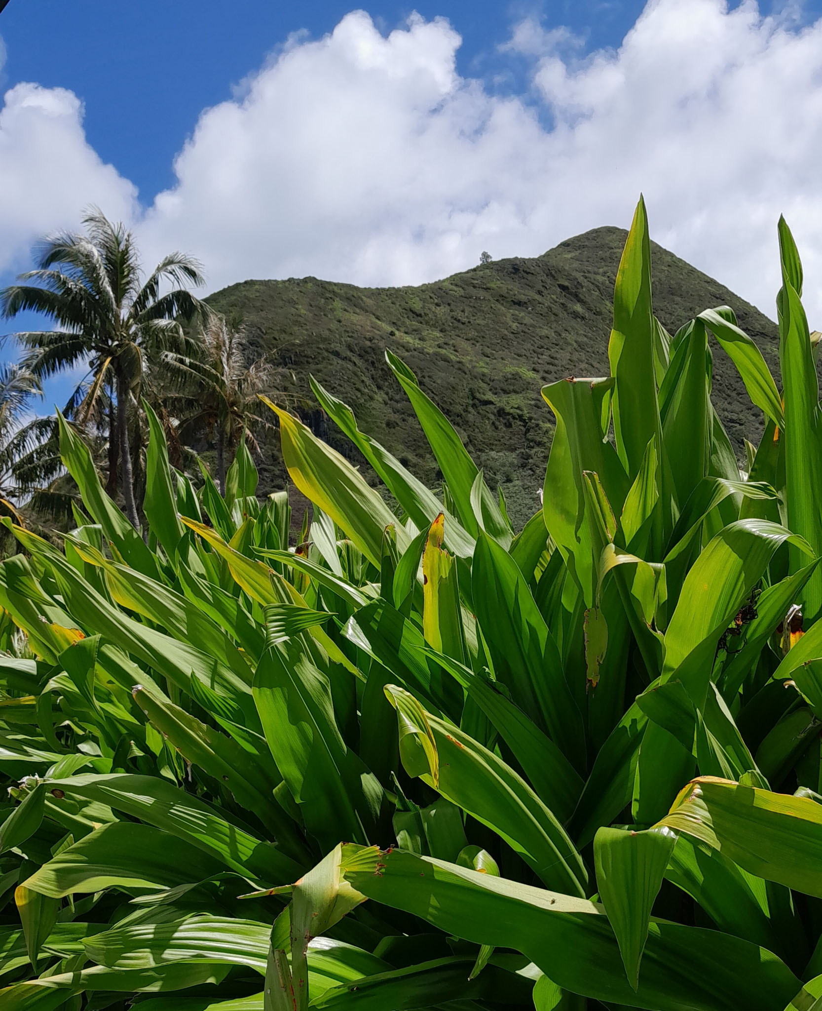
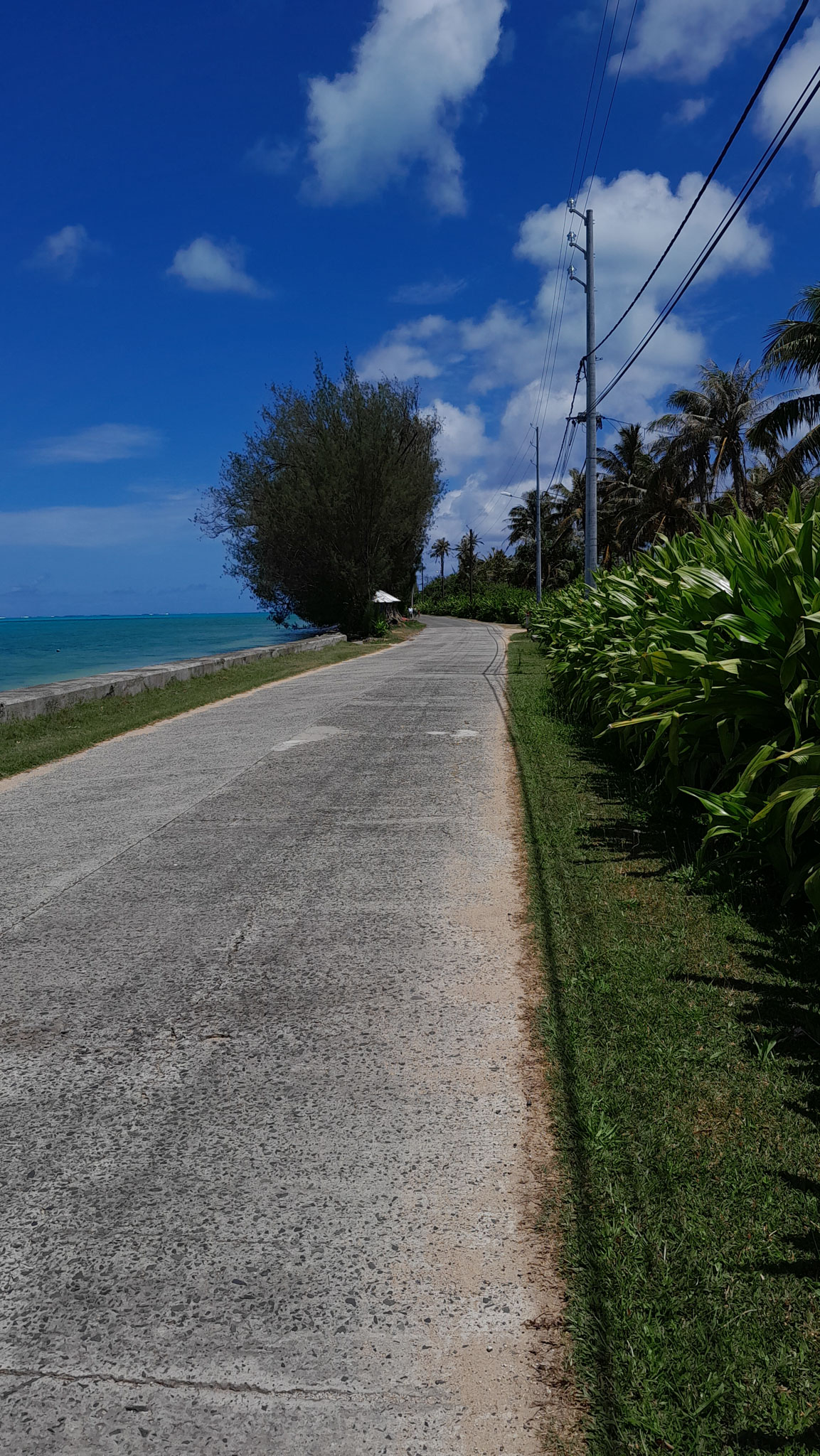
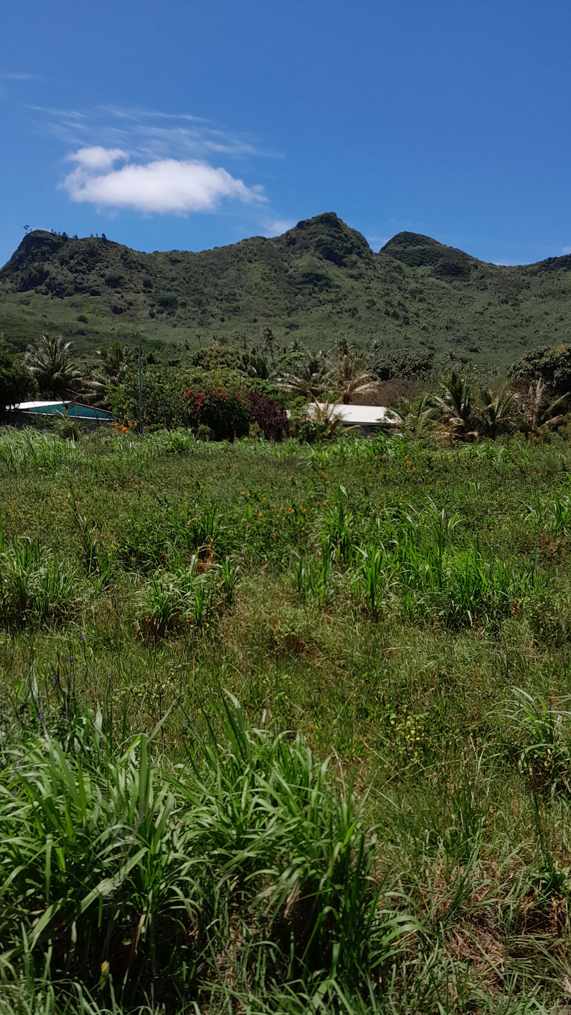
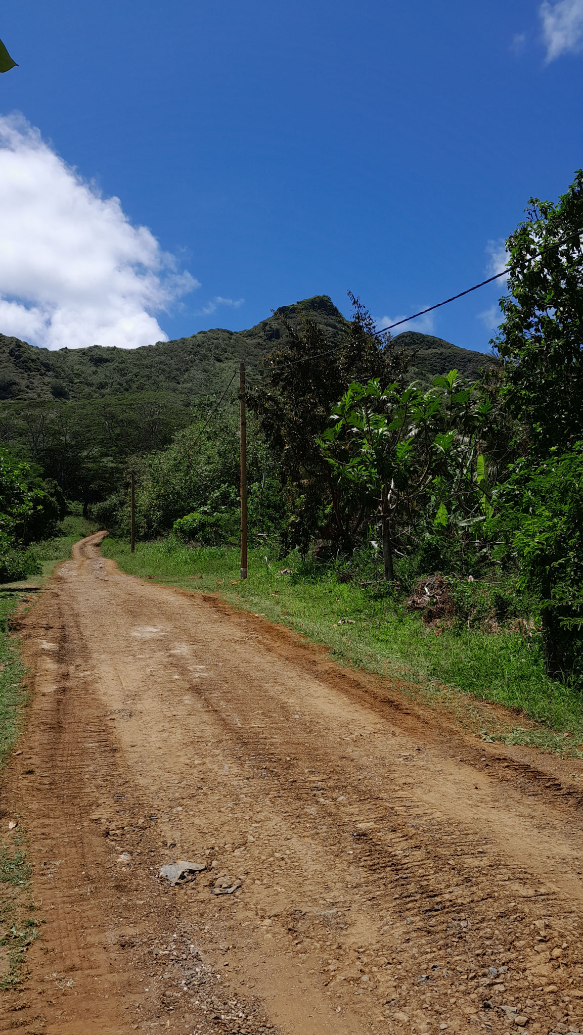
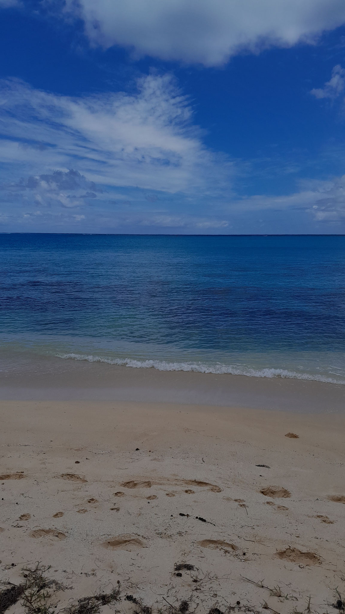
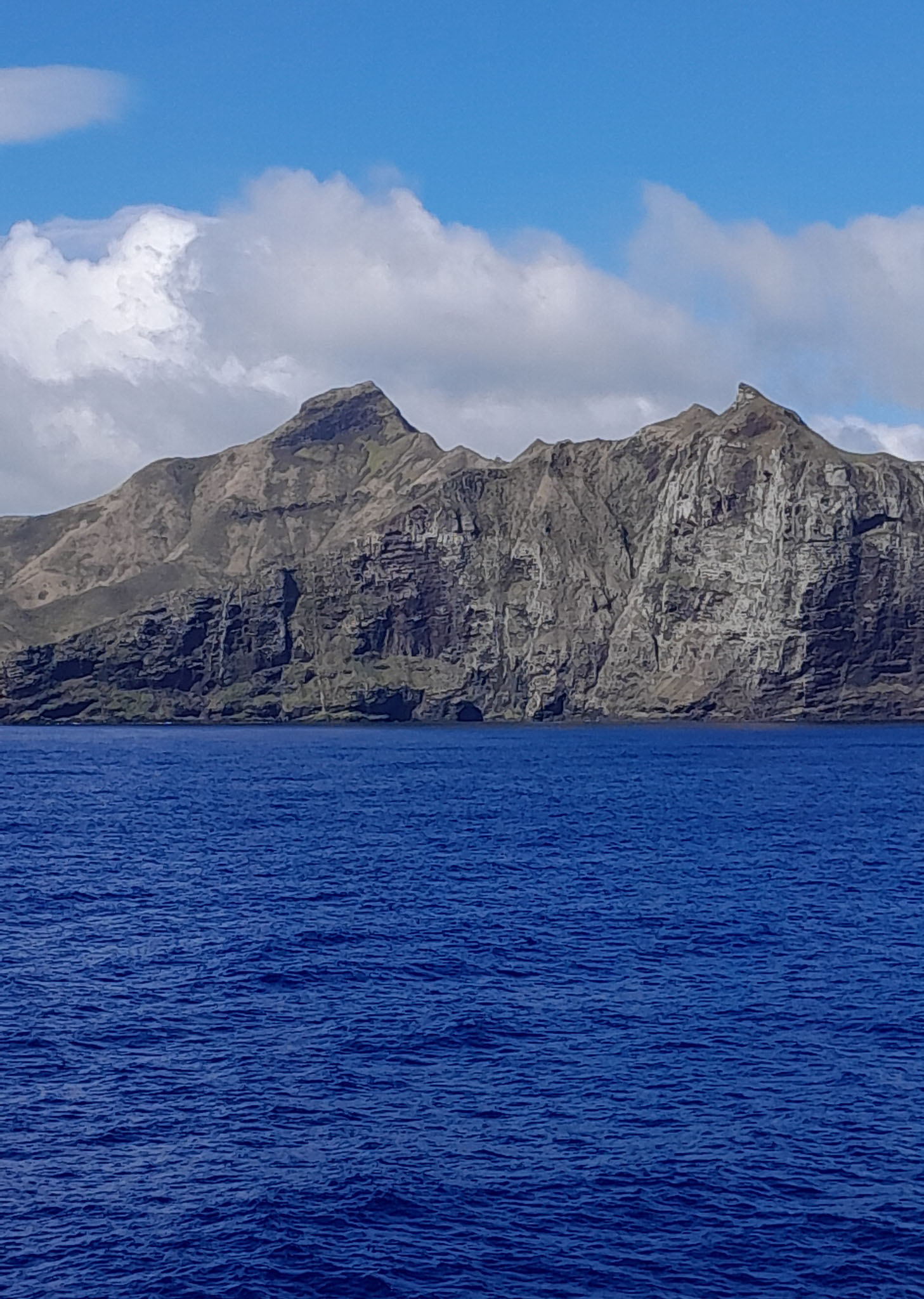
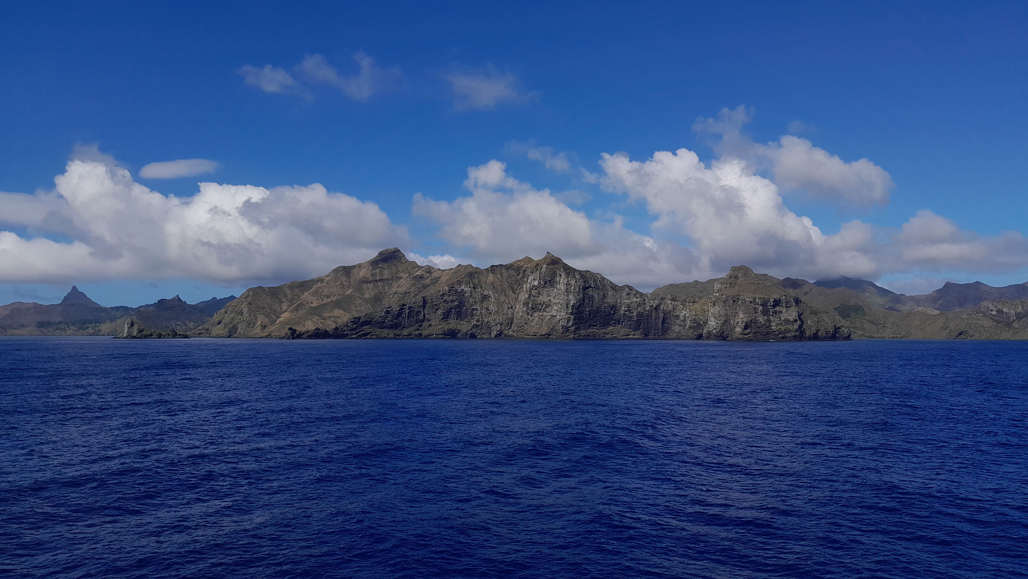
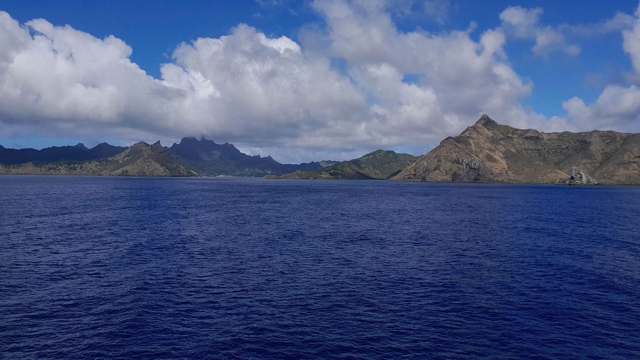
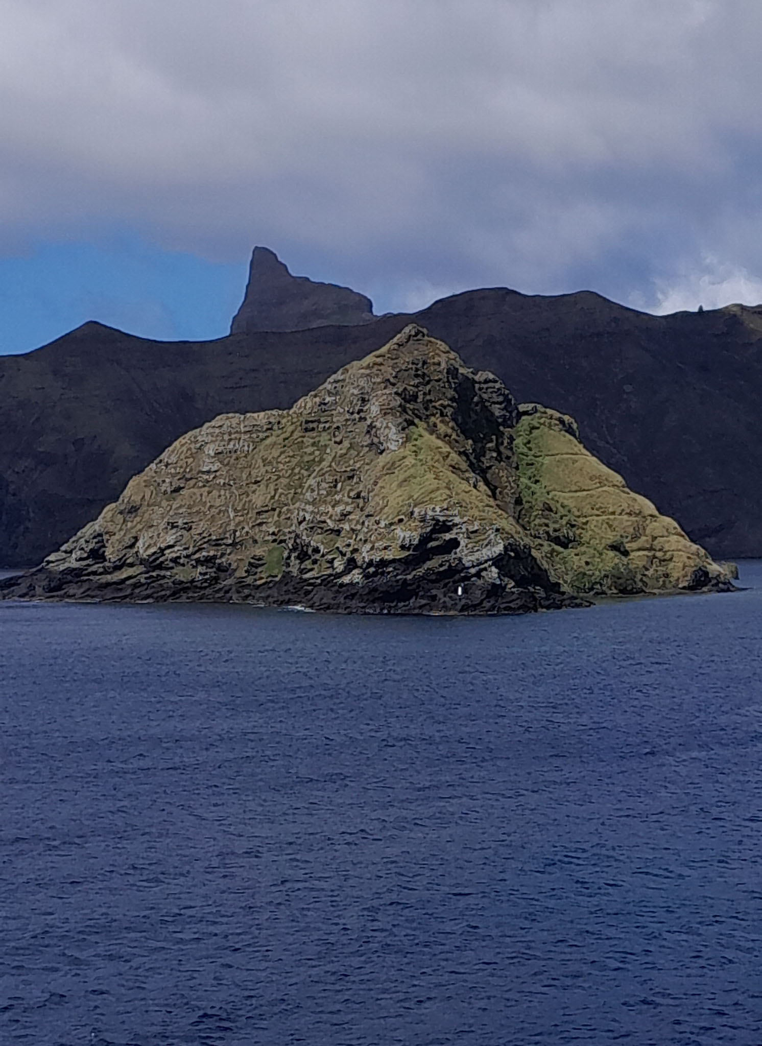
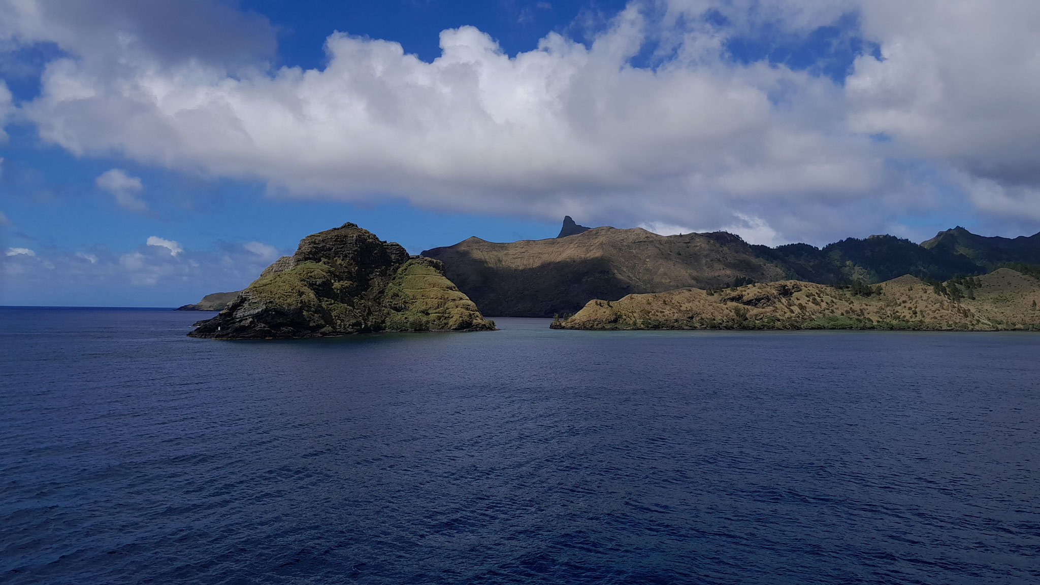
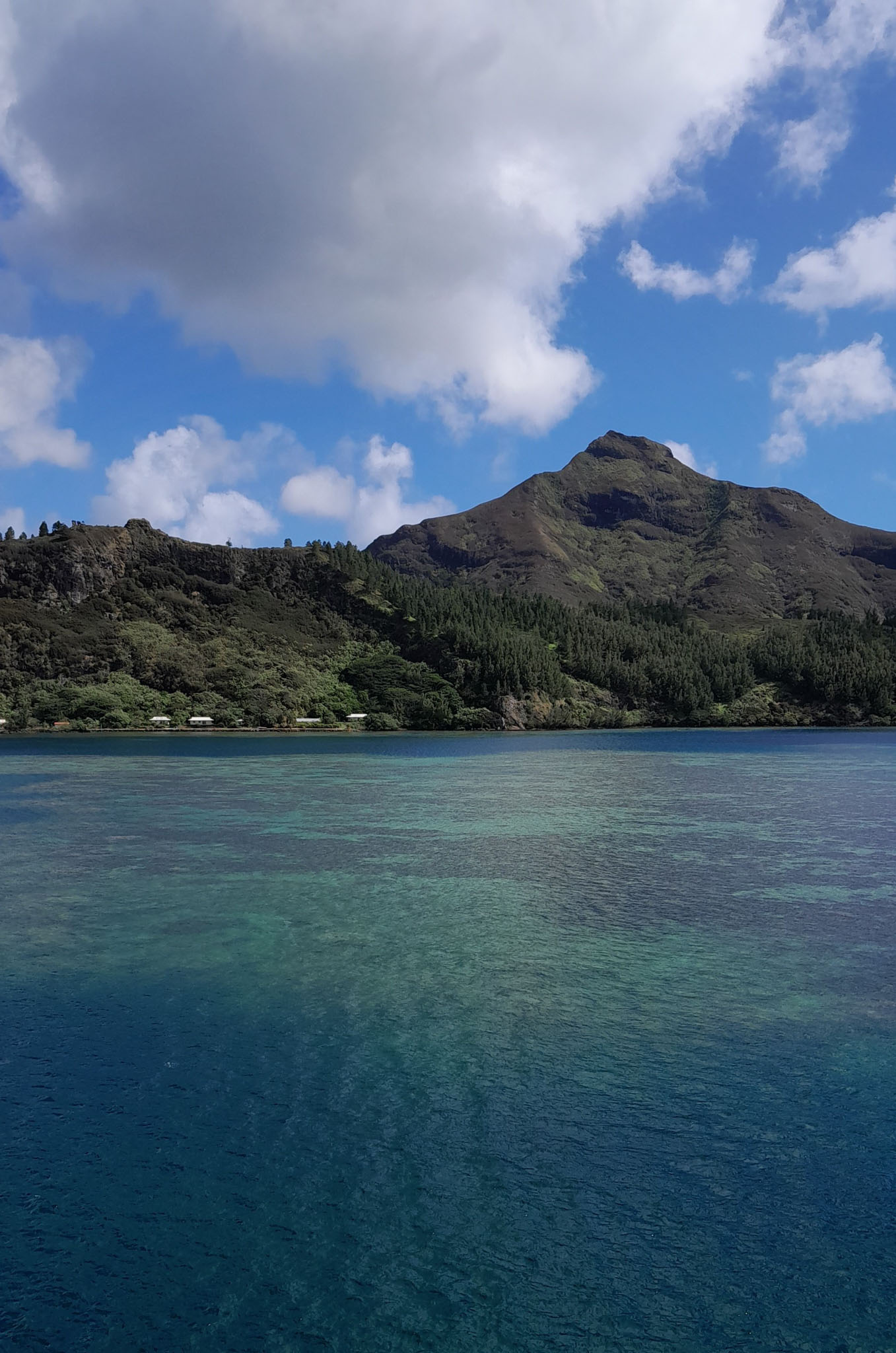
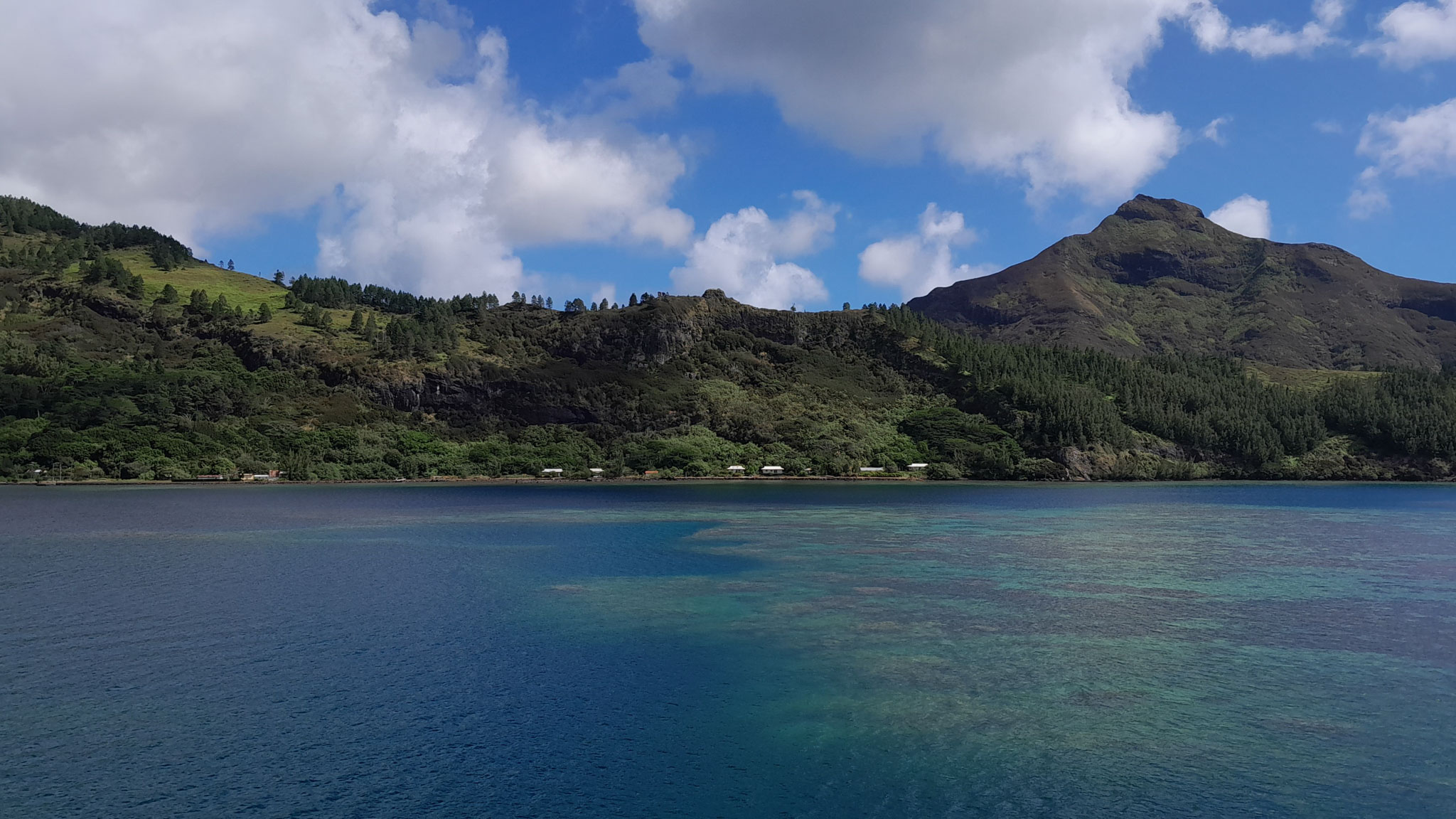
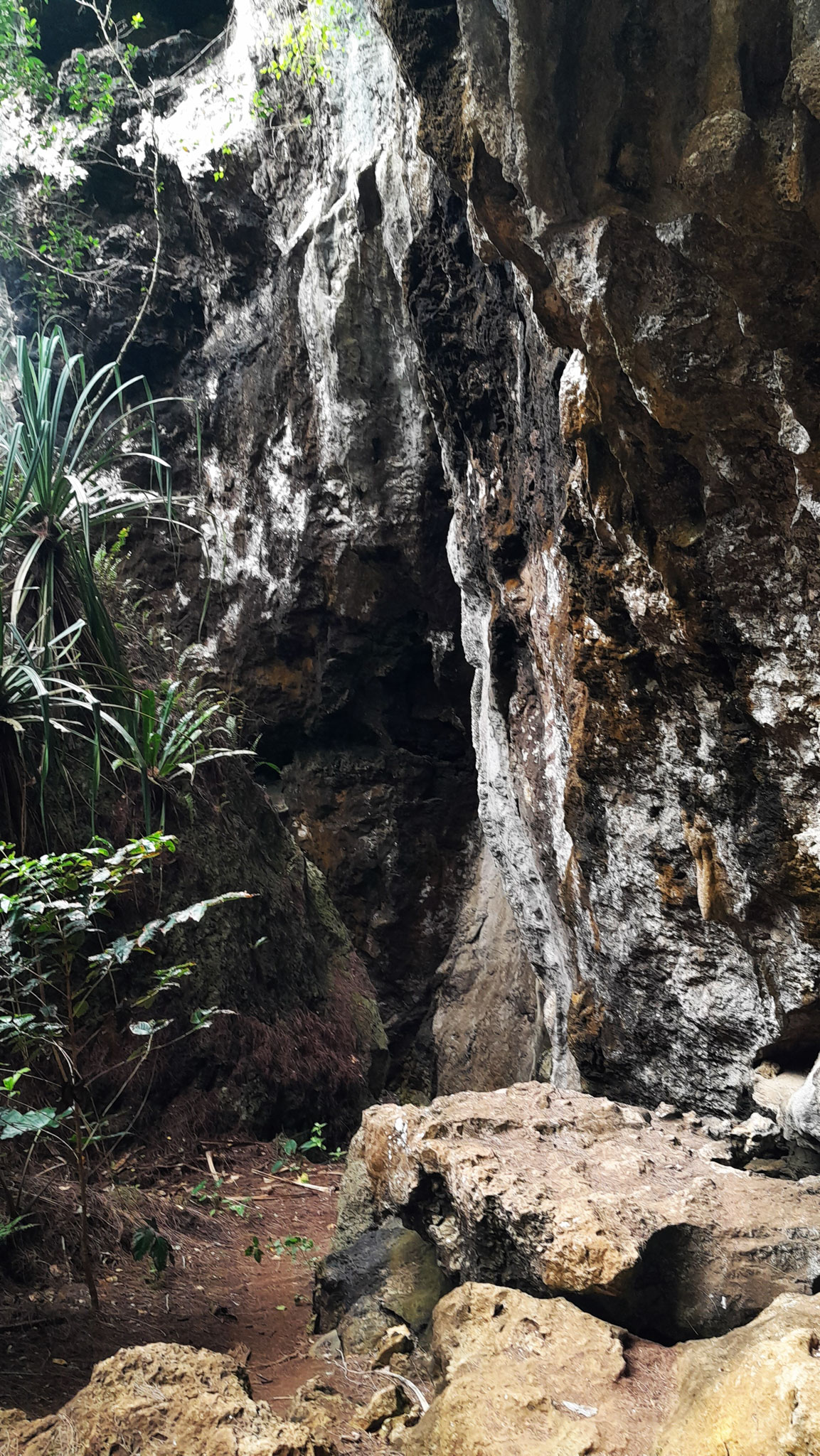
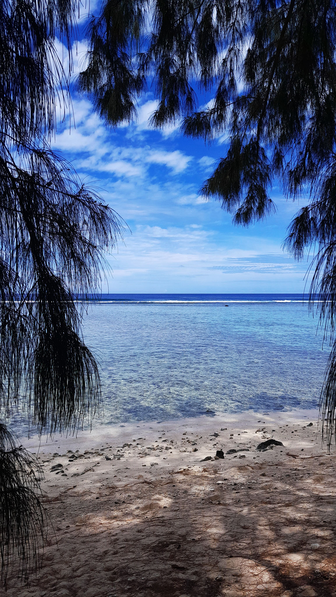
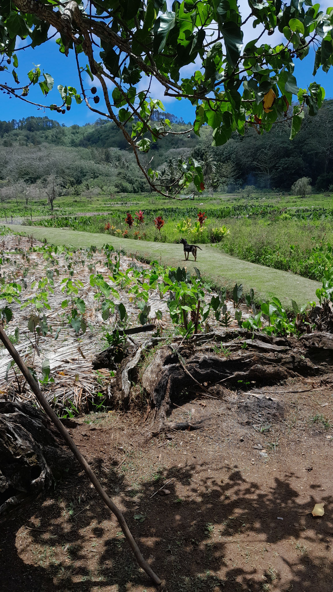
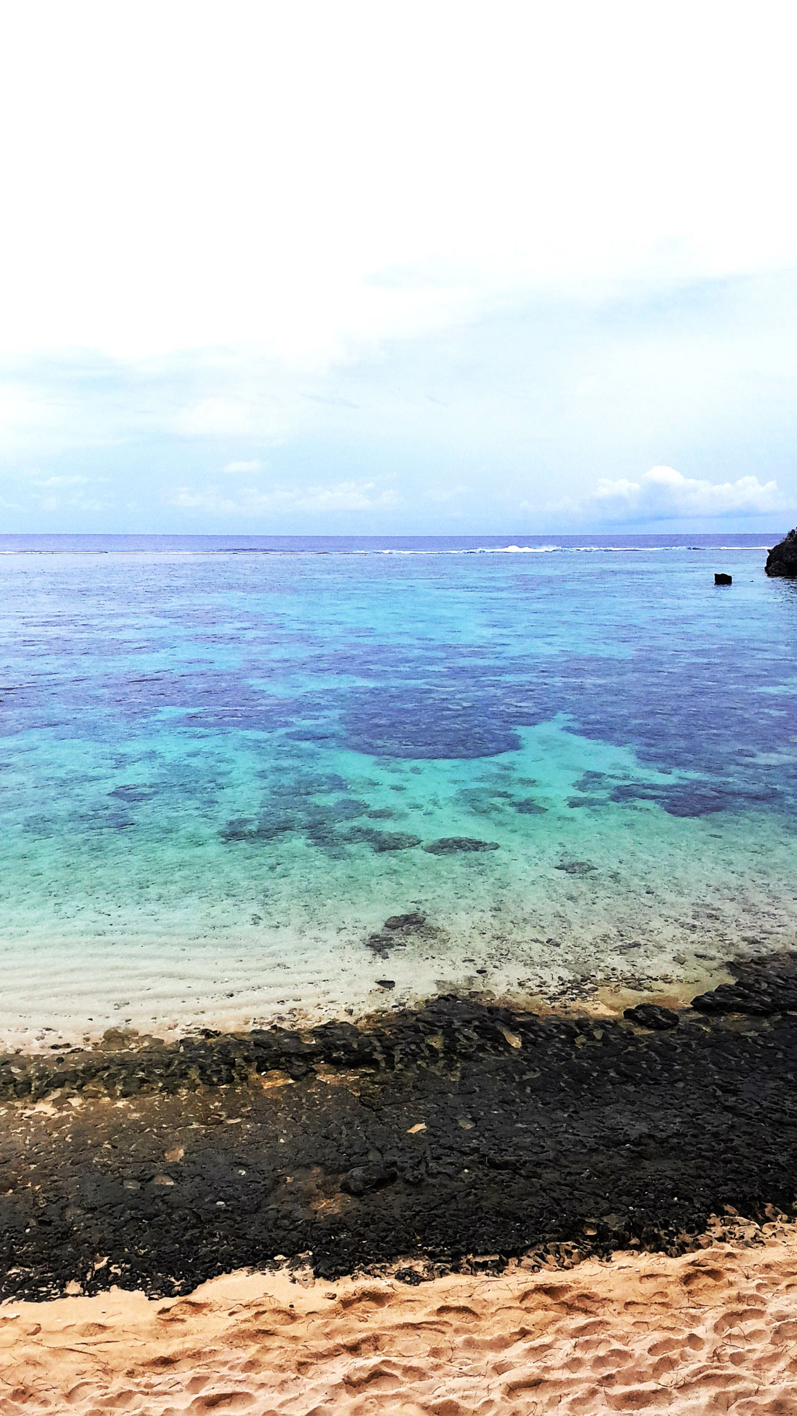
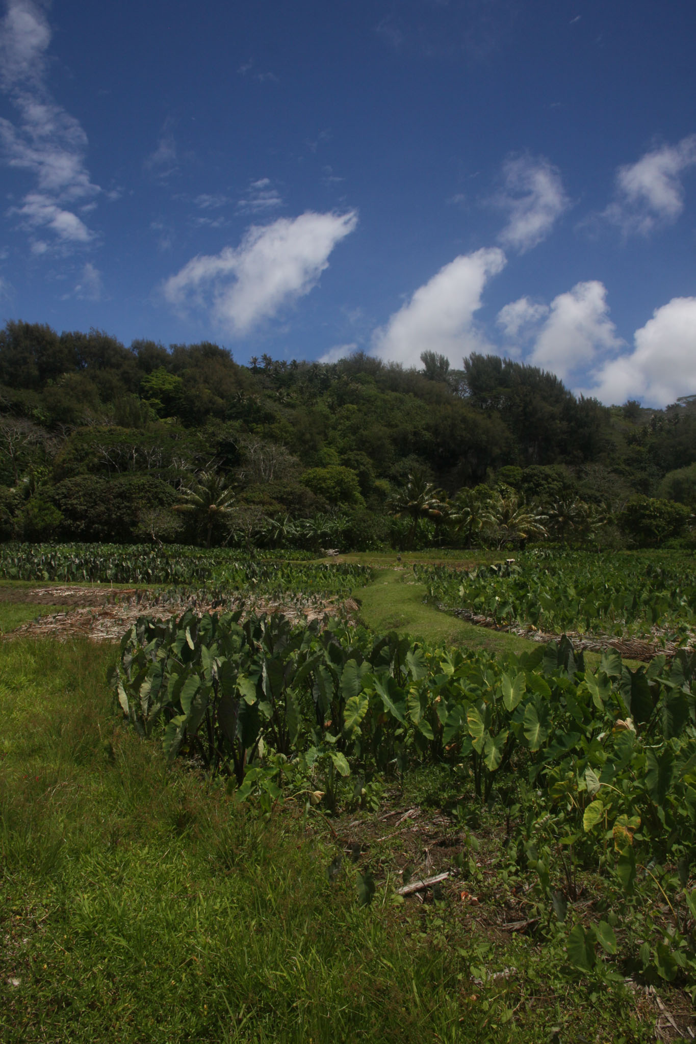
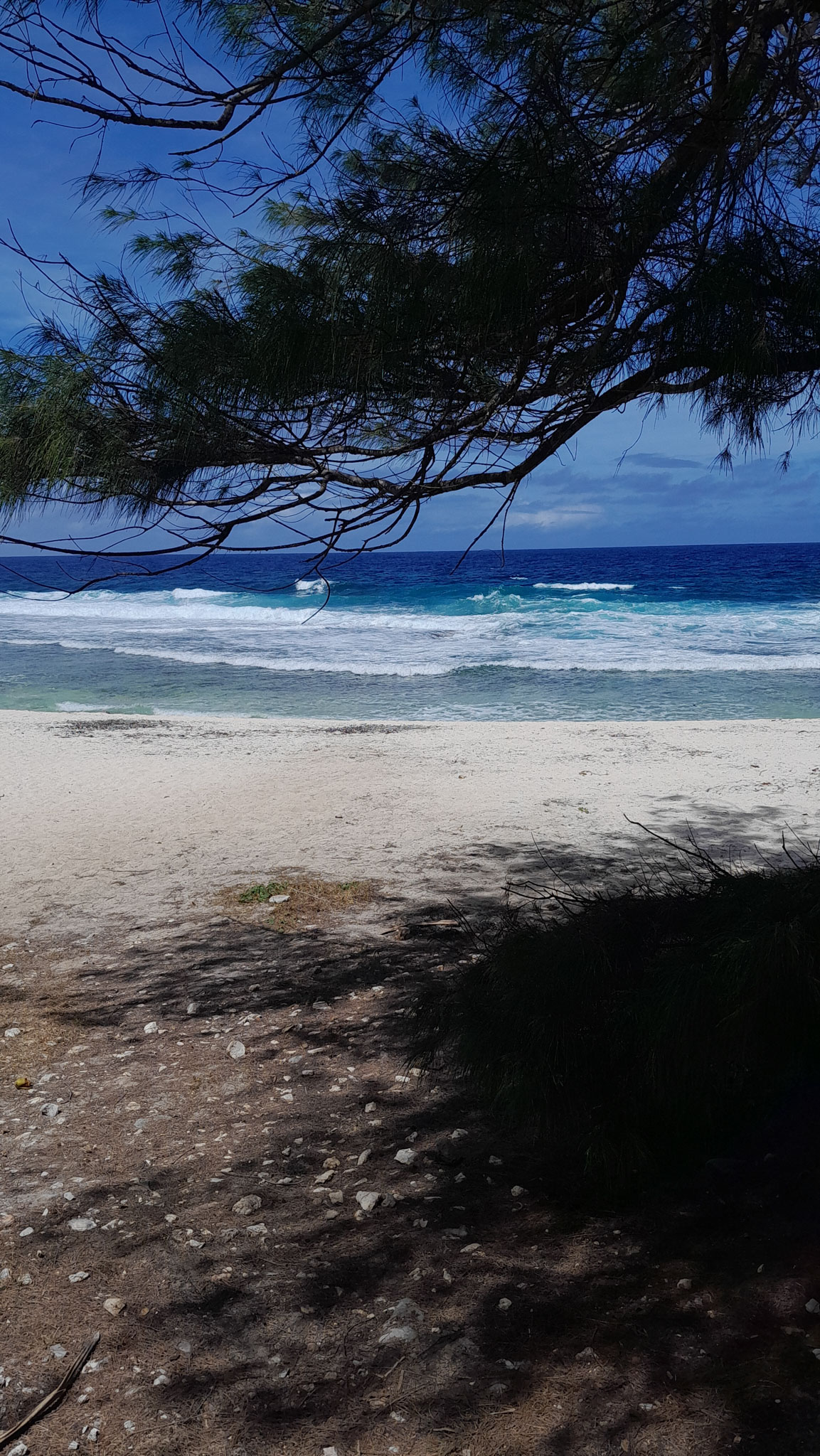
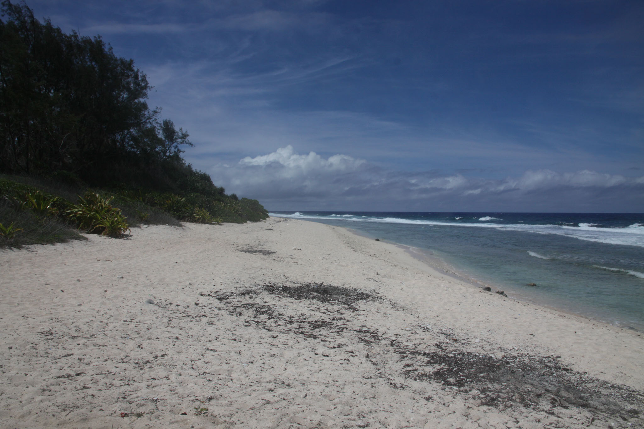
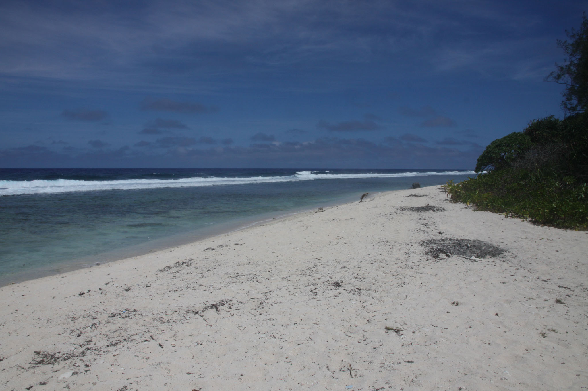
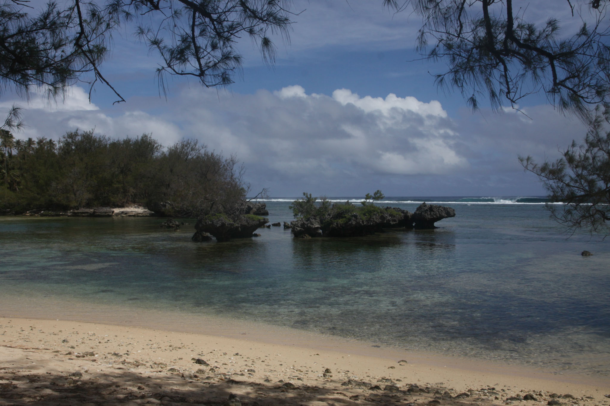
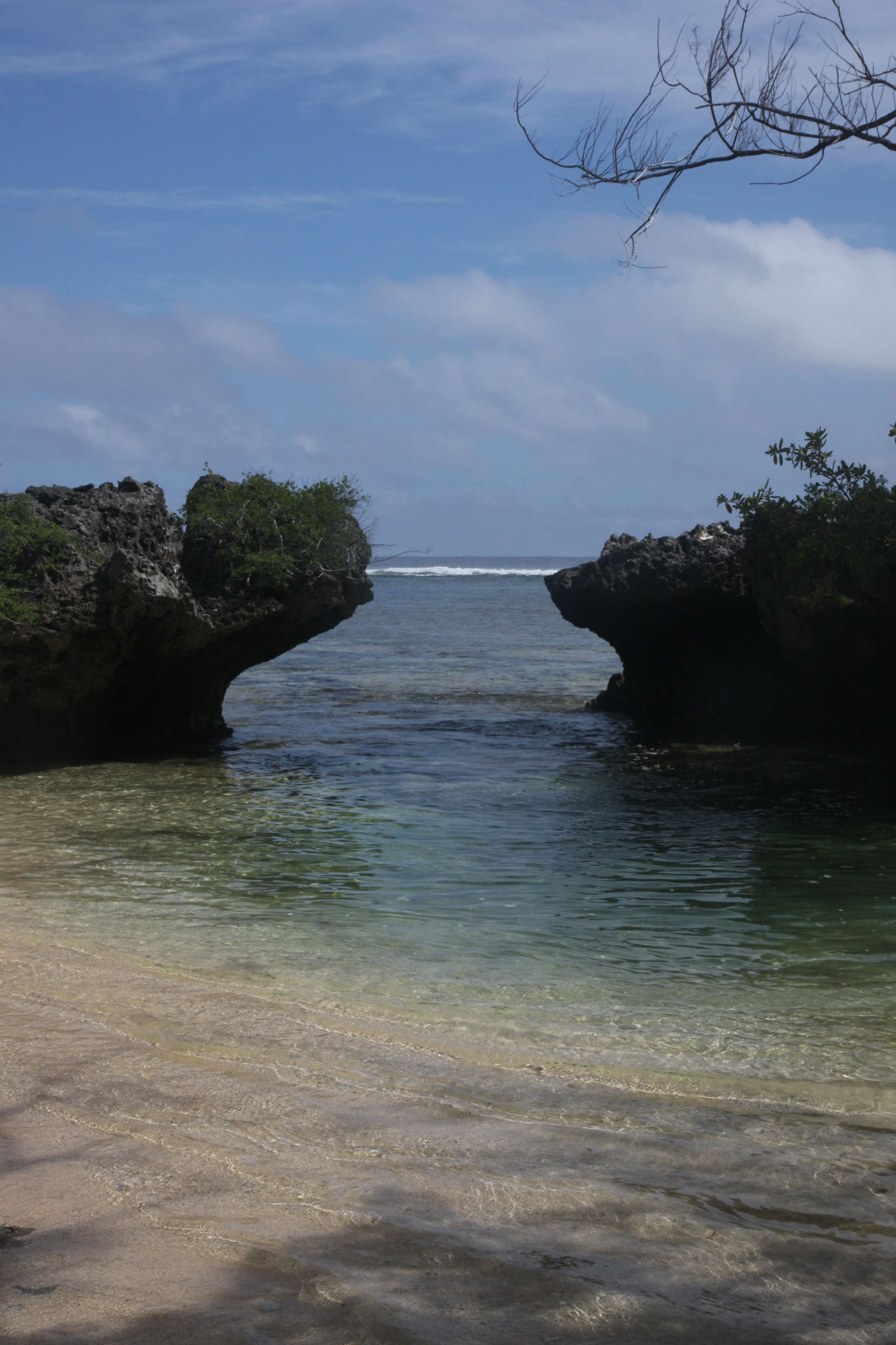
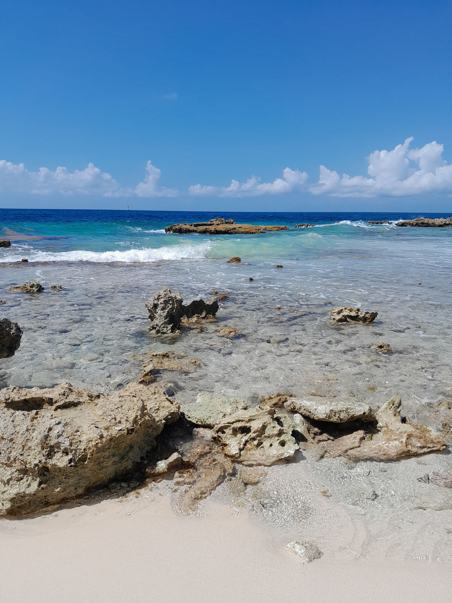
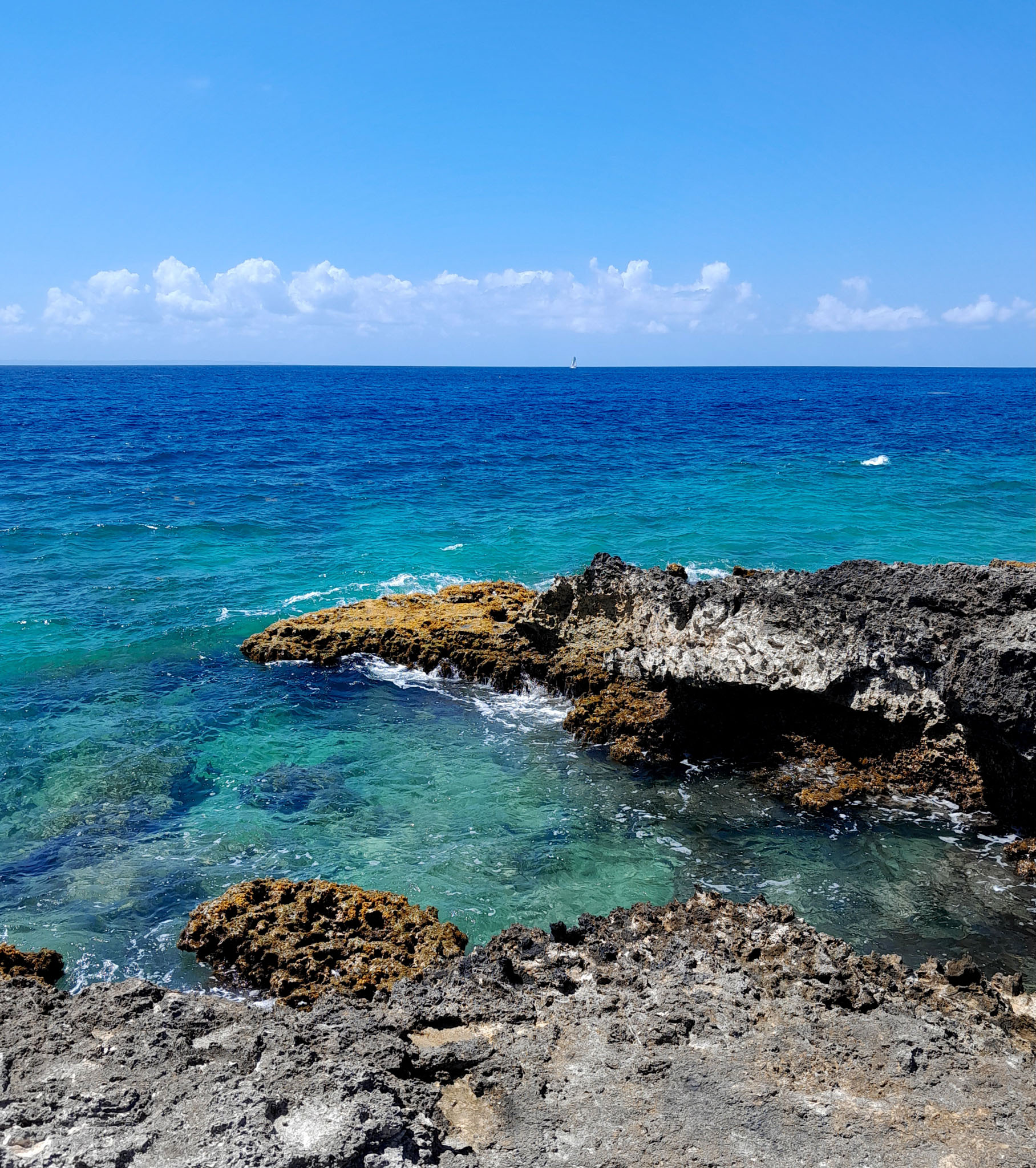
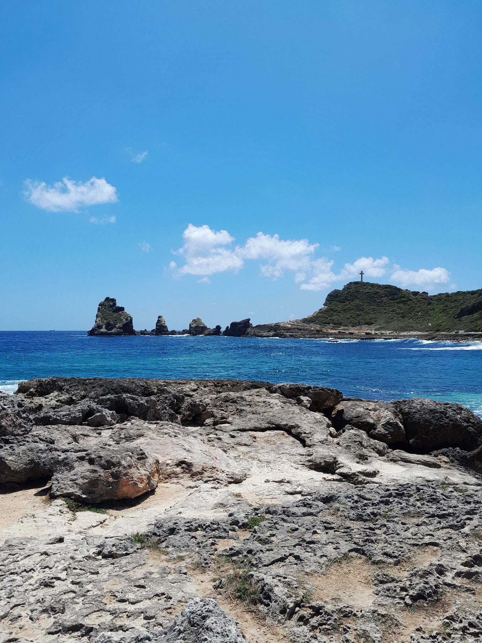
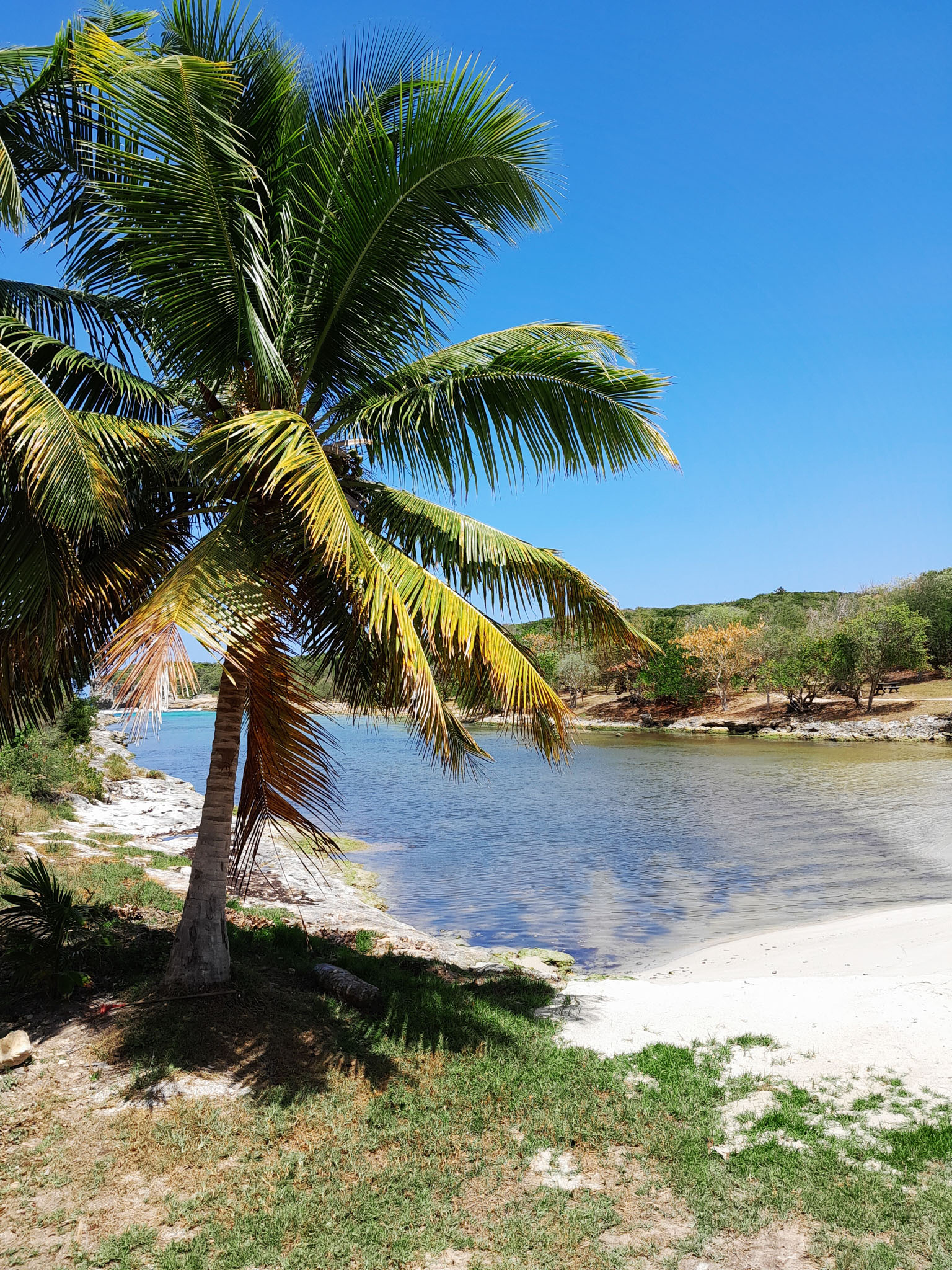
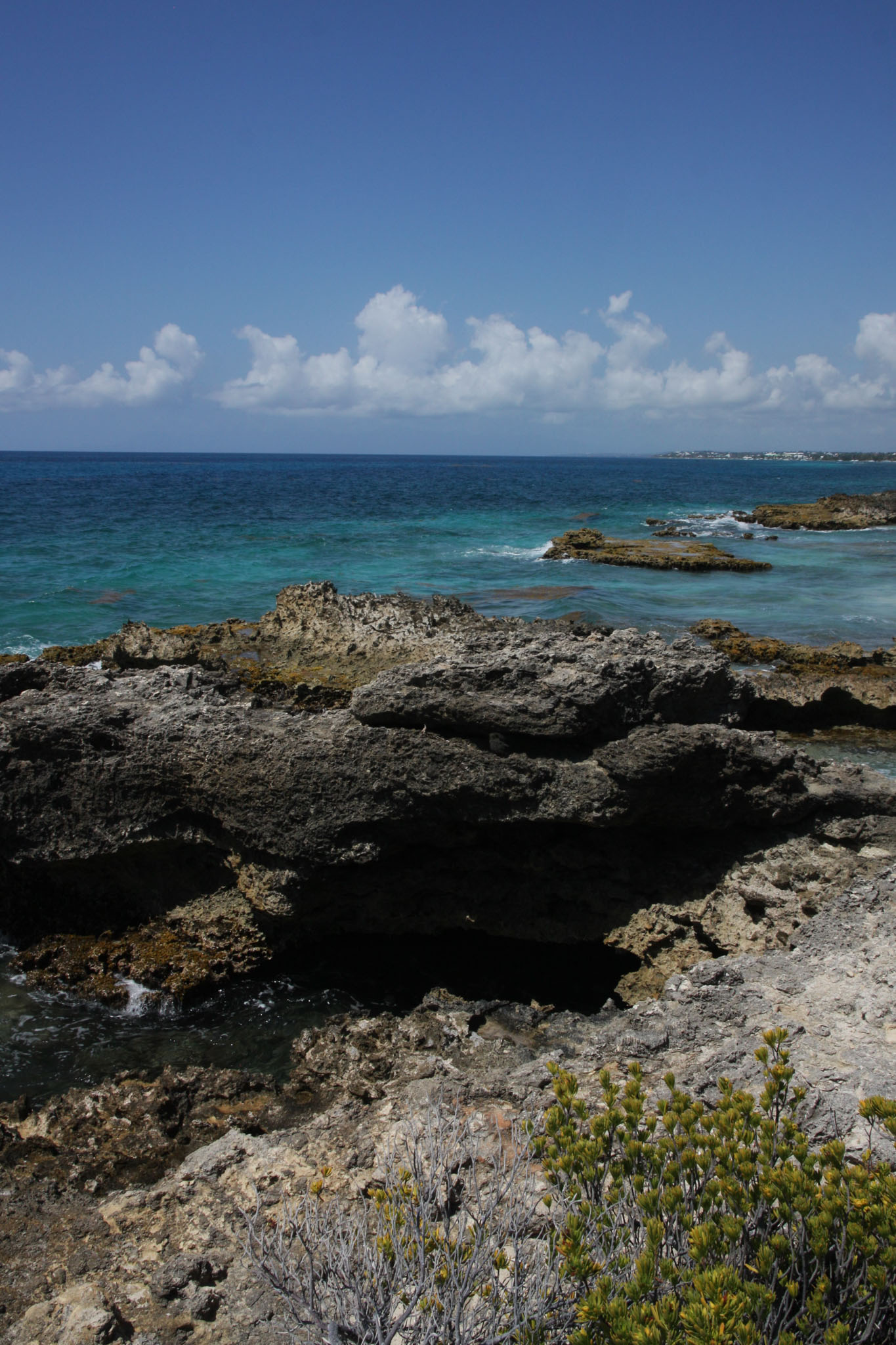
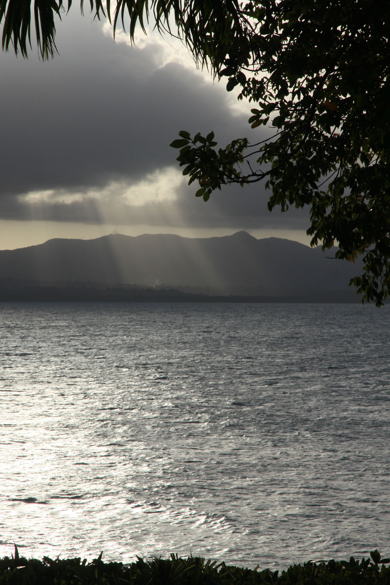
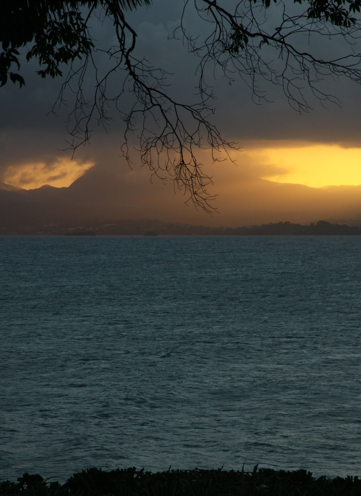
Basse-Terre has a rough volcanic relief while Grande-Terre features rolling hills and flat plains.

Further to the north, Saint-Barthélemy and the French part of Saint Martin once came under the jurisdiction of Guadeloupe but on 7 December 2003, both of these areas voted to become an overseas territorial collectivity, a decision which took effect on 22 February 2007.

Source: Wikipedia (under GNU Free Documentation License)

Categories
Windward Islands

Dominica

Dominica, officially the Commonwealth of Dominica, is an island country in the Caribbean. It is part of the Windward Islands chain in the Lesser Antilles archipelago in the Caribbean Sea. The capital, Roseau, is located on the western side of the island. Dominica’s closest neighbours are two constituent territories of the European Union, both overseas departments of France: Guadeloupe to the northwest and Martinique to the south-southeast. Dominica comprises a land area of 750 km2 (290 sq mi), and the highest point is Morne Diablotins, at 1,447 m (4,747 ft) in elevation. The population was 71,293 at the 2011 census.

Source: Wikipedia (under GNU Free Documentation License)

Categories
Tanzania

Mafia X

Mafia Island (“Chole Shamba”) is part of the Tanzanian Spice Islands, together with Unguja and Pemba. As one of the six districts of the Pwani Region, Mafia Island is governed from the mainland, not from the semi-autonomous region of Zanzibar, of which it has never been considered to be a part.

According to the 2002 Tanzania census, the population of the Mafia District was 40,801.The economy is based on fishing, subsistence agriculture and the black market. The island attracts some tourists, mainly adventure scuba divers, game fishermen, and people wanting relaxation.

The Mafia archipelago consists of one large island (394 km²) and numerous smaller ones. Some of these are inhabited, such as Chole Island (2 km²), with a population of 800. Chole Bay, Mafia’s protected deep-water anchorage and original harbour, is studded with islands, sandbanks and beaches. The main town is Kilindoni. The stretch of water between the deltas of the Rufiji River and the island is called Mafia Channel. There are popular rumours of pygmy hippo on the island but there are zero confirmed sightings.

Source: Wikipedia (under GNU Free Documentation License)

Categories
Tuamotu

Tikehau

Tikehau (meaning Peaceful Landing in Tuamotuan[2]) or Porutu-kai is a coral atoll in the Palliser Islands group, part of the Tuamotu Archipelago in French Polynesia. It is included in the commune of Rangiroa.

The first recorded European to arrive to Tikehau was the Russian mariner Otto von Kotzebue. He called this atoll Krusenstern Island,[a] after Russian explorer Adam Johann von Krusenstern. The Wilkes Expedition passed by this atoll on 9 September 1839.

On a visit in 1987, Jacques Cousteau’s research group made a study of Tikehau’s lagoon and discovered that it contains a greater variety of fish species than any other place in French Polynesia.

Today, Tikehau is a tourist destination, popular for its pink sand beaches and its exceptional underwater fauna.

Source: Wikipedia (under GNU Free Documentation License)

Categories
Tuamotu

Motu Tavararo

Motu Tavararo is a private island in the south of Tikehau atoll, French Polynesia.

Categories
Tuamotu

Rangiroa

Rangiroa (Tuamotuan for ‘vast sky’) or Te Kokōta (Cook Islands Māori for ‘the Hyades star cluster’) is the largest atoll in the Tuamotus and one of the largest in the world (smaller than Kwajalein in the Marshall Islands and Huvadhu in the Maldives).

It is in French Polynesia and is part of the Palliser group. The nearest atoll is Tikehau, 12 kilometres (7.5 mi) to the west. It is about 355 km (221 mi) northeast of Tahiti. Rangiroa is home to about 2,500 people on almost 80 km2 (31 sq mi). The chief town is Avatoru, in the atoll’s northwest.

Source: Wikipedia (under GNU Free Documentation License)

Categories
Austral Islands

Tubuai

Tupuaʻi (French: Tubuai [tubwaj]) is the main island of the Austral Island group, located 640 km (400 mi) south of Tahiti. In addition to Tubuai, the group of islands include Rimatara, Rurutu, Raivavae, Rapa and the uninhabited Îles Maria. They are part of the Austral Islands in the far southwest of French Polynesia in the south Pacific Ocean. Tubuai island sustains a population of 2,185 people on 45 km2 of land. Due to its southerly position, Tubuai has notably cooler weather than Tahiti.

The island is ringed by a lagoon formed by an encircling coral reef. A break in the reef that enables passage for ships is located on the north side of the island. Tubuai has two lava domes, with its highest point, Mt Taita’a, being 422 meters. Six or seven islets or motus lie along the reef rim that encircles the island. These were described in the late 1700s as having an abundance of toa trees (Casuarina equisetifolia), which the indigenous peoples used in house building and to make war clubs and spears due to the wood’s density.

Source: Wikipedia (under GNU Free Documentation License)

Categories
Austral Islands

Rapa

Rapa, also called Rapa Iti, or “Little Rapa”, to distinguish it from Easter Island, whose Polynesian name is Rapa Nui, is the largest and only inhabited island of the Bass Islands in French Polynesia. An older name for the island is Oparo. The total land area including offshore islets is 40.5 km2 (15.6 sq mi).: 205  As of the 2022 census, Rapa had a population of 451. The island’s highest point is at 650 metres (2,130 ft) elevation at Mont Perahu.: 243  Its main town is Ahuréi. The inhabitants of Rapa Iti speak their own Polynesian language called the Rapa language.

Rapa Iti is located at 27°35′00″S 144°20′00″W. It is shaped roughly like a Greek final sigma (ς), with a well-protected central bay, surrounded by a ring of relatively high mountains. The whole island appears to be the peak of a sinking volcano, with the bay as well as the caldera. The area of the main island is 38.5 km2. Little Rapa Tauturau is an offshore island.

Source: Wikipedia (under GNU Free Documentation License)

Categories
Austral Islands

Rurutu

Rūrutu is the northernmost island in the Austral archipelago of French Polynesia, and the name of a commune consisting solely of that island. It is situated 572 km (355 mi) south of Tahiti. Its land area is 32.7 km2 (12.6 sq mi). It is 10.8 km long and 5.3 km wide. Its highest point (Manureva) is 389 m (1,276 ft). At the 2022 census it had a population of 2,163.

Geologically, Rurutu was initially formed 12 million years ago by the Macdonald hotspot, a hotspot associated with the Macdonald seamount. Over the next 10 million years, erosion shrank the island until it was almost an atoll. Then, just over a million years ago, Rurutu passed over the Arago hotspot, which lifted it roughly 150 meters. Steep sea cliffs of ancient coral lifted by the event—called makatea—now largely encircle the island. These are riddled with caves filled with concretions—indeed, Rurutu is largely unique among islands in French Polynesia in that its historic inhabitants were cave-dwelling.

Source: Wikipedia (under GNU Free Documentation License)

Categories
Austral Islands

Rimatara

Rimatara is the westernmost inhabited island in the Austral Islands of French Polynesia. It is located 550 km (340 mi) south of Tahiti and 150 km (93 mi) west of Rurutu. The land area of Rimatara is 8.6 km2 (3.3 sq mi), and that of the Maria islets is 1.3 km2 (0.50 sq mi). Its highest point is 106 m (348 ft). Its population was 893 at the 2022 census.

Rimatara is a circular volcanic plateau surrounded by a reef with a height of 8 to 10 m (26 to 33 ft). The main villages are Amaru (the capital), Anapoto and Mutuaura.

Rimatara was one of the last Polynesian islands to receive European visitors. Captain Samuel Pinder Henry discovered the island in 1811. Two Tahitian missionaries from Bora Bora arrived in 1822 and established a Protestant mission. France established a protectorate in 1889 and annexed Rimatara in 1901.

Source: Wikipedia (under GNU Free Documentation License)